West Red Mountain
Total Miles
1.4
Technical Rating
Best Time
Spring, Fall, Summer, Winter
Trail Type
Full-Width Road
Accessible By
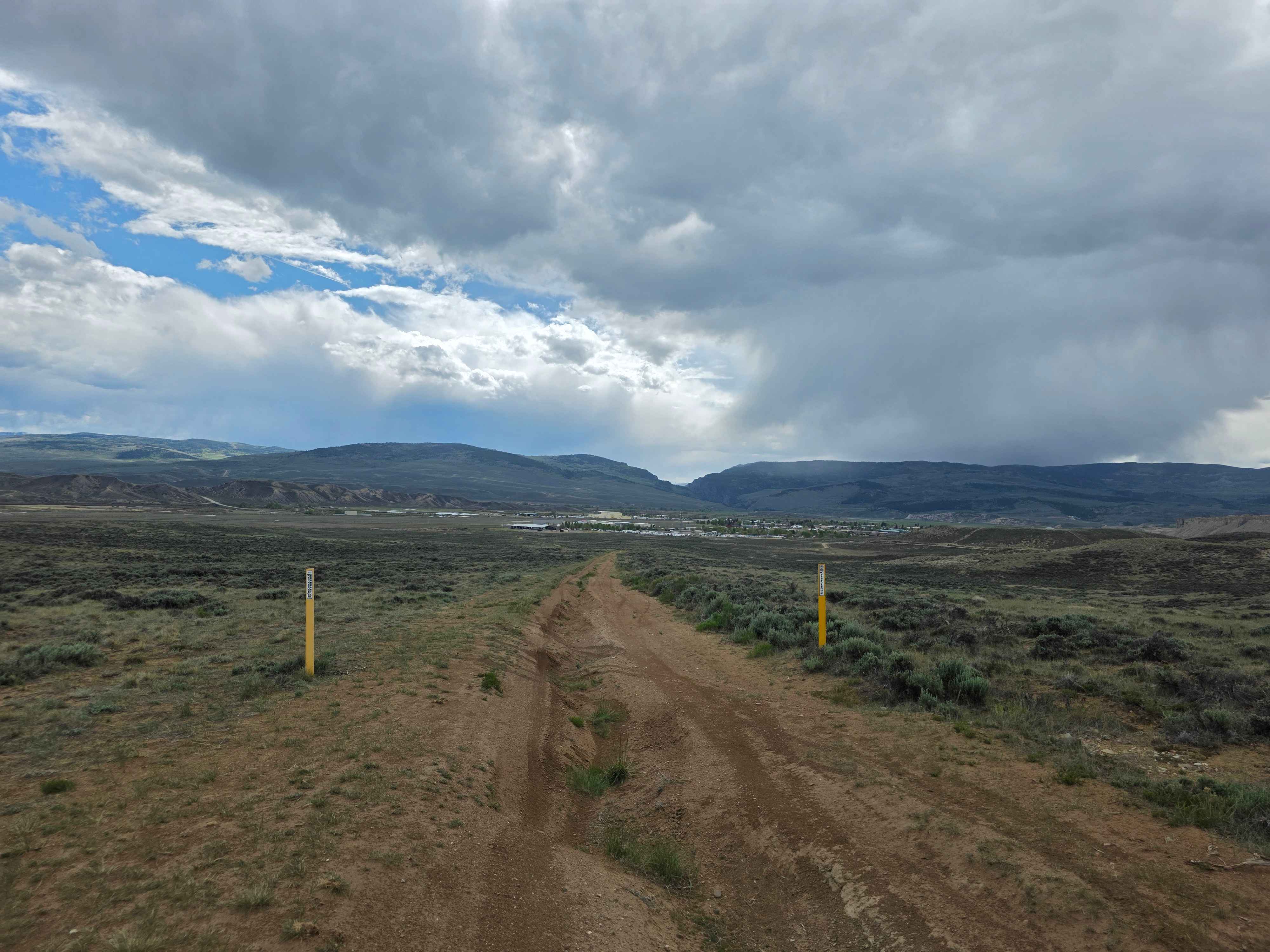
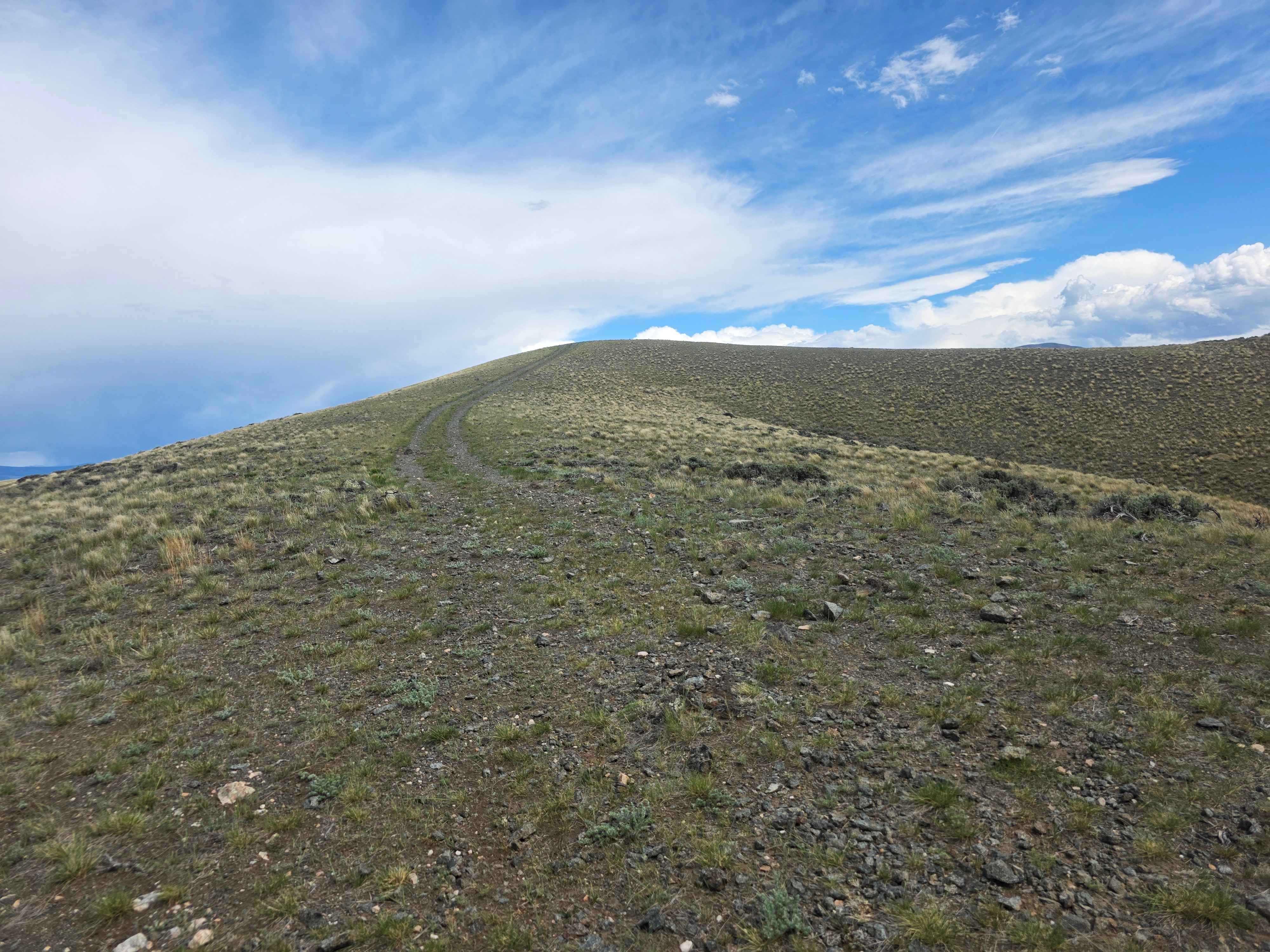
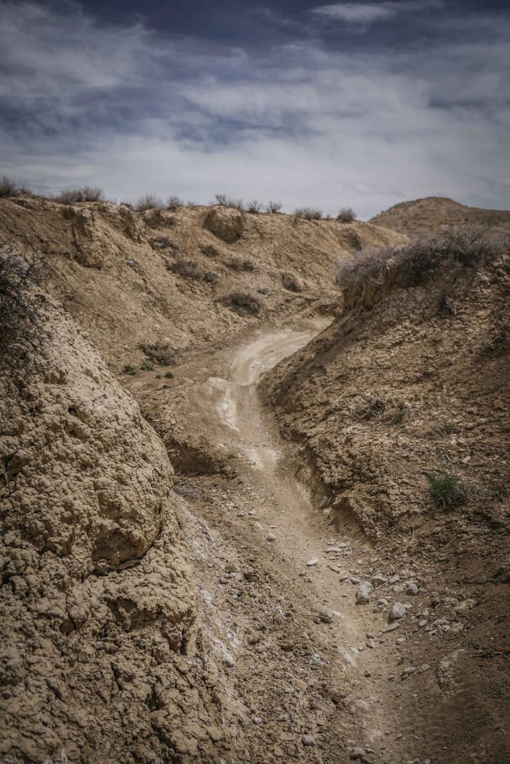
Trail Overview
Off-road trail with some heavy rutting through Sate and BLM land. Lifted vehicles, adventure bikes, and other off-road capable machines only through here, as the rutting can get deep enough to high-center smaller vehicles. Pleasant ride while dry, but will be almost impassable in the wrong vehicle if its muddy, approach with caution if there has been rain. This route from West Troublesome Creek Road will see a 225-foot elevation gain to the peak of Red Mountain. The first half of the road takes you through state land, and is where the heaviest rutting and potential for a deep, muddy ride reside. Once on BLM land, the road is much milder and is simply dirt and gravel with some exposed crumbly rock in places.
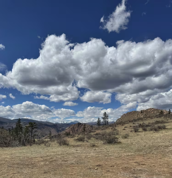
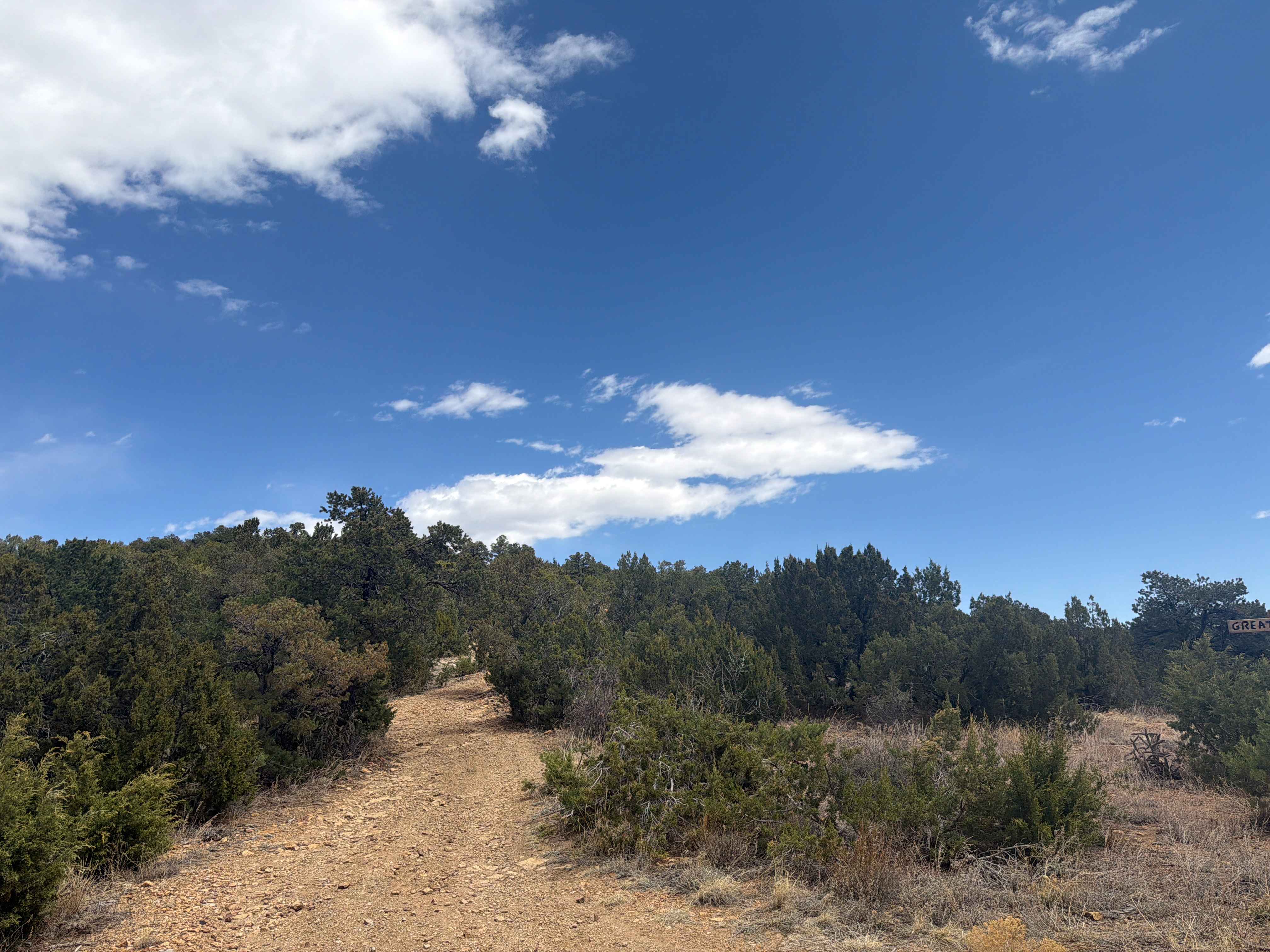
Photos of West Red Mountain
Difficulty
Difficulty can range from a little muddy to impassable, depending on the weather and the condition of the trail. If it's rained recently, approach with caution.
Status Reports
West Red Mountain can be accessed by the following ride types:
- High-Clearance 4x4
- SUV
- SxS (60")
- ATV (50")
- Dirt Bike
West Red Mountain Map
Popular Trails
The onX Offroad Difference
onX Offroad combines trail photos, descriptions, difficulty ratings, width restrictions, seasonality, and more in a user-friendly interface. Available on all devices, with offline access and full compatibility with CarPlay and Android Auto. Discover what you’re missing today!