Tomahawk State Wildlife Area West
Total Miles
2.7
Technical Rating
Best Time
Summer, Fall, Winter, Spring
Trail Type
Full-Width Road
Accessible By
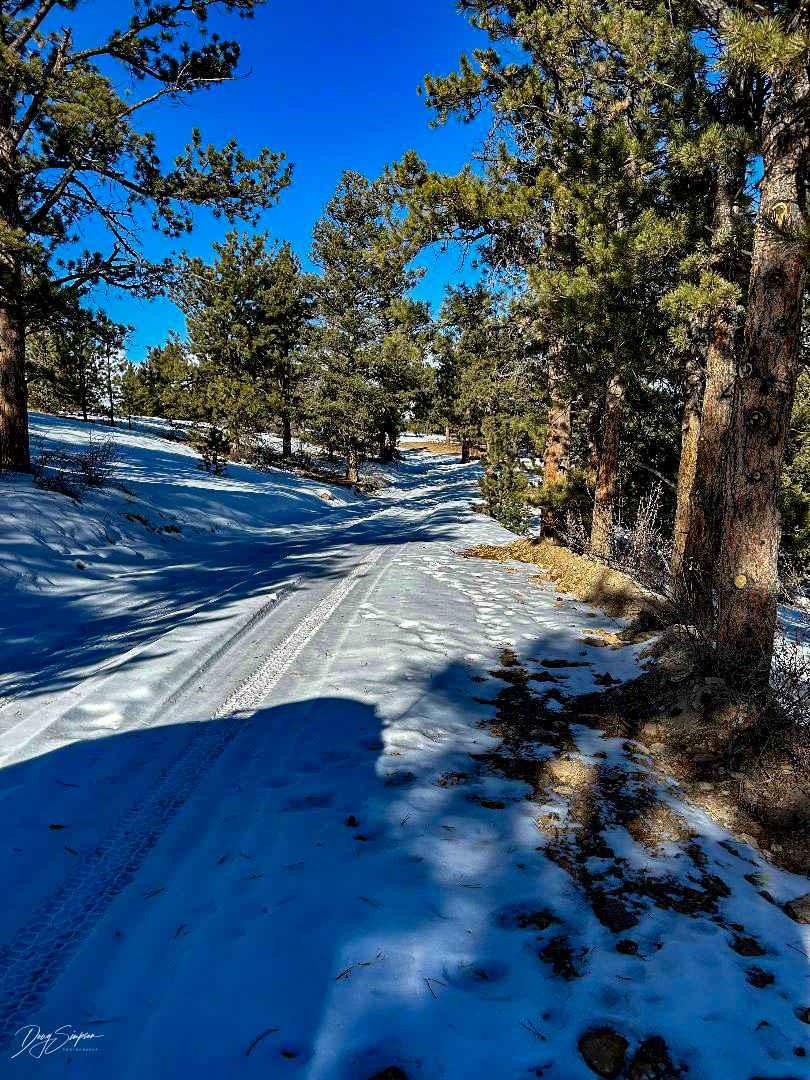
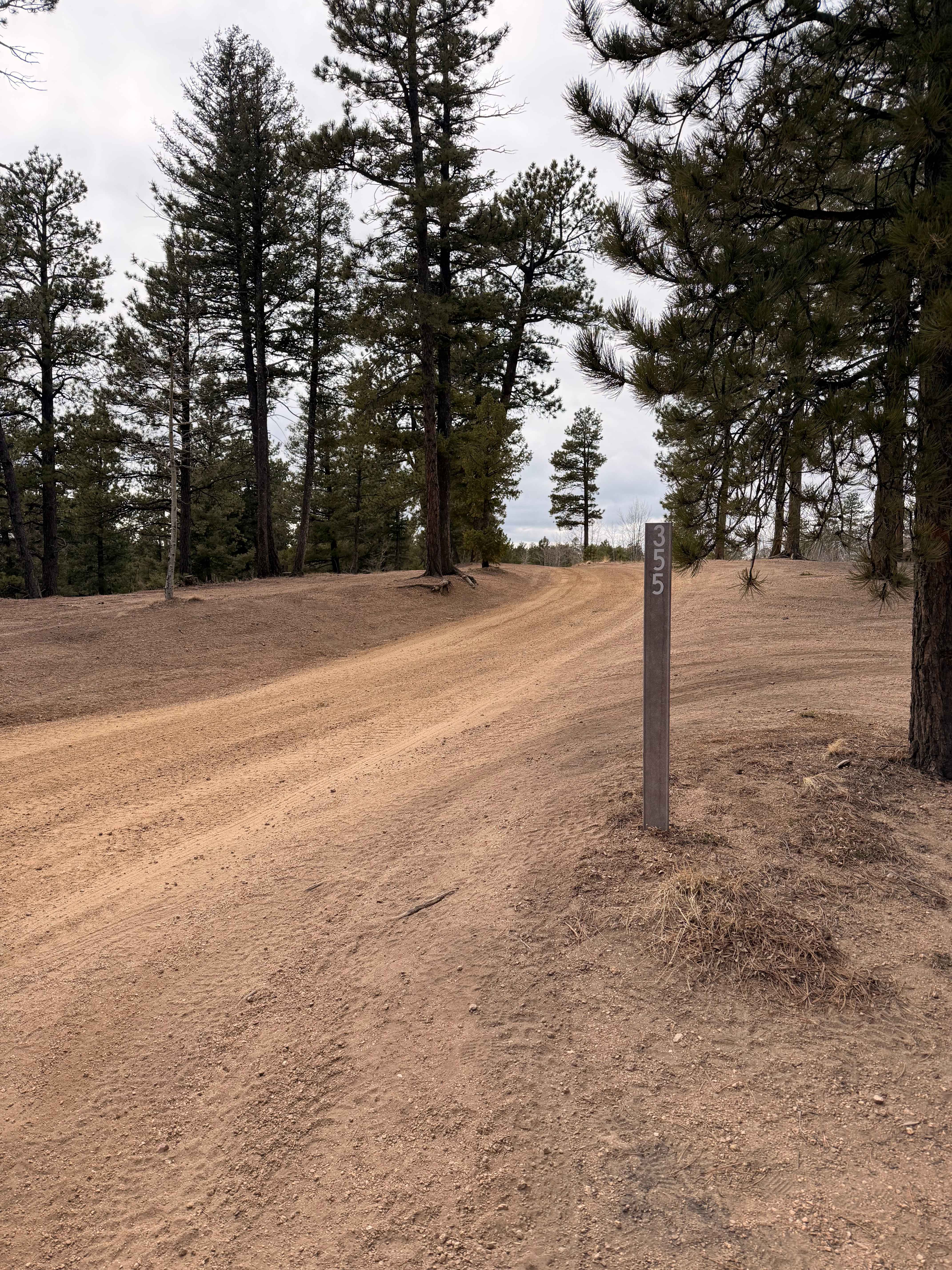
Trail Overview
The road is easy, it travels up to a ridge that follows through the trees. Towards the end, the road drops down to the parking area at the end. In the wintertime, when it is snowy, four-wheel drive may be required to get back out. There is access to the Middle fork of the South Platte River for fishing.
Photos of Tomahawk State Wildlife Area West

Difficulty
The road is not maintained in winter, although there are no difficult obstacles to note.
Status Reports
Tomahawk State Wildlife Area West can be accessed by the following ride types:
- High-Clearance 4x4
- SUV
Tomahawk State Wildlife Area West Map
Popular Trails
Rankin Road

Burns Park Road
The onX Offroad Difference
onX Offroad combines trail photos, descriptions, difficulty ratings, width restrictions, seasonality, and more in a user-friendly interface. Available on all devices, with offline access and full compatibility with CarPlay and Android Auto. Discover what you’re missing today!