2 trails found in Colorado
Which "mount antero" are you looking for?
We found 2 off-road trails in Colorado matching your search. Pick the one you're looking for below.
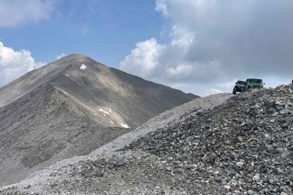
Mount Antero Pass
This epic trail to the top of Mount Antero starts off Browns Creek trail. Combine with Mount Antero Access trail and portions of Baldwin Lakes and Browns Creek trails for a full day of off-roading from the trailhead to Mount Antero at over 13,700 feet. The views along the trail are amazing. There is...
Learn more about Mount Antero Pass
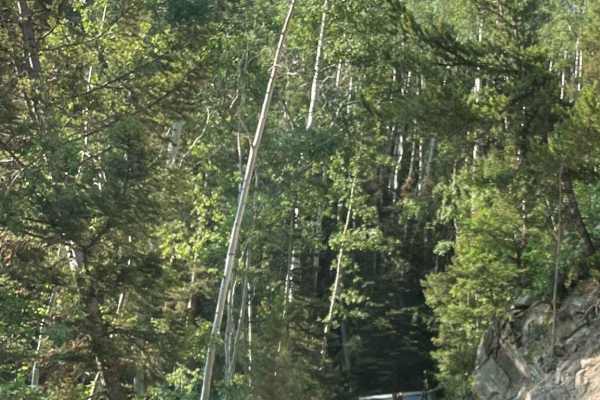
Mount Antero Access
This trail is the beginning of the Mount Antero route starting at the trailhead on Chalk Creek Drive. Combine this trail with part of Baldwin Lakes Trail, part of Browns Creek Trail, and Mount Antero Pass Trail for a complete route from the trailhead to the top of Mount Antero, at over 13,700 feet. ...
Learn more about Mount Antero Access