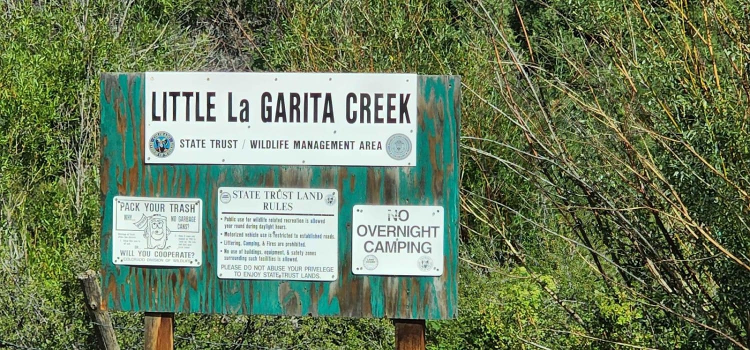
Lower Badger Creek
Total Miles
5.1
Technical Rating
Best Time
Summer, Fall
Trail Type
Full-Width Road
Accessible By
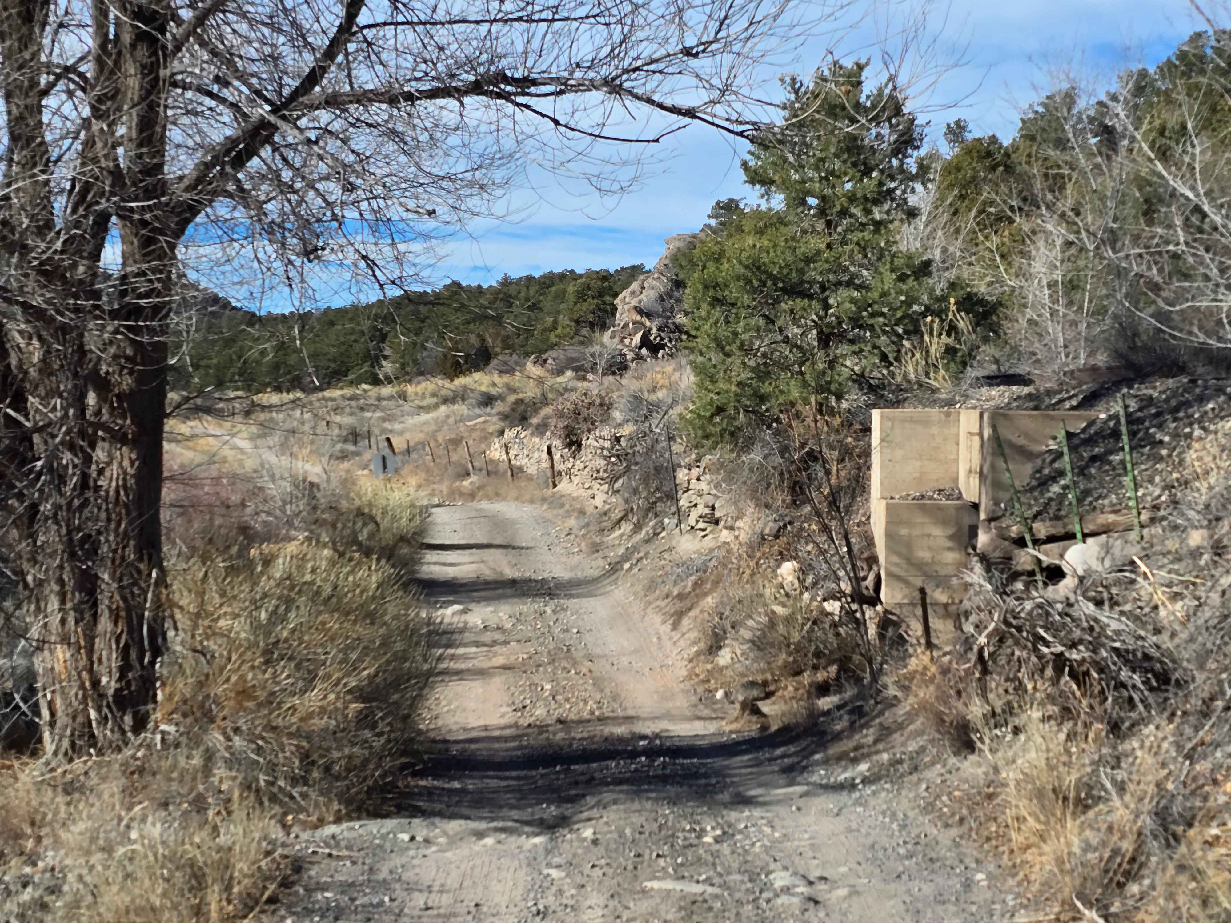
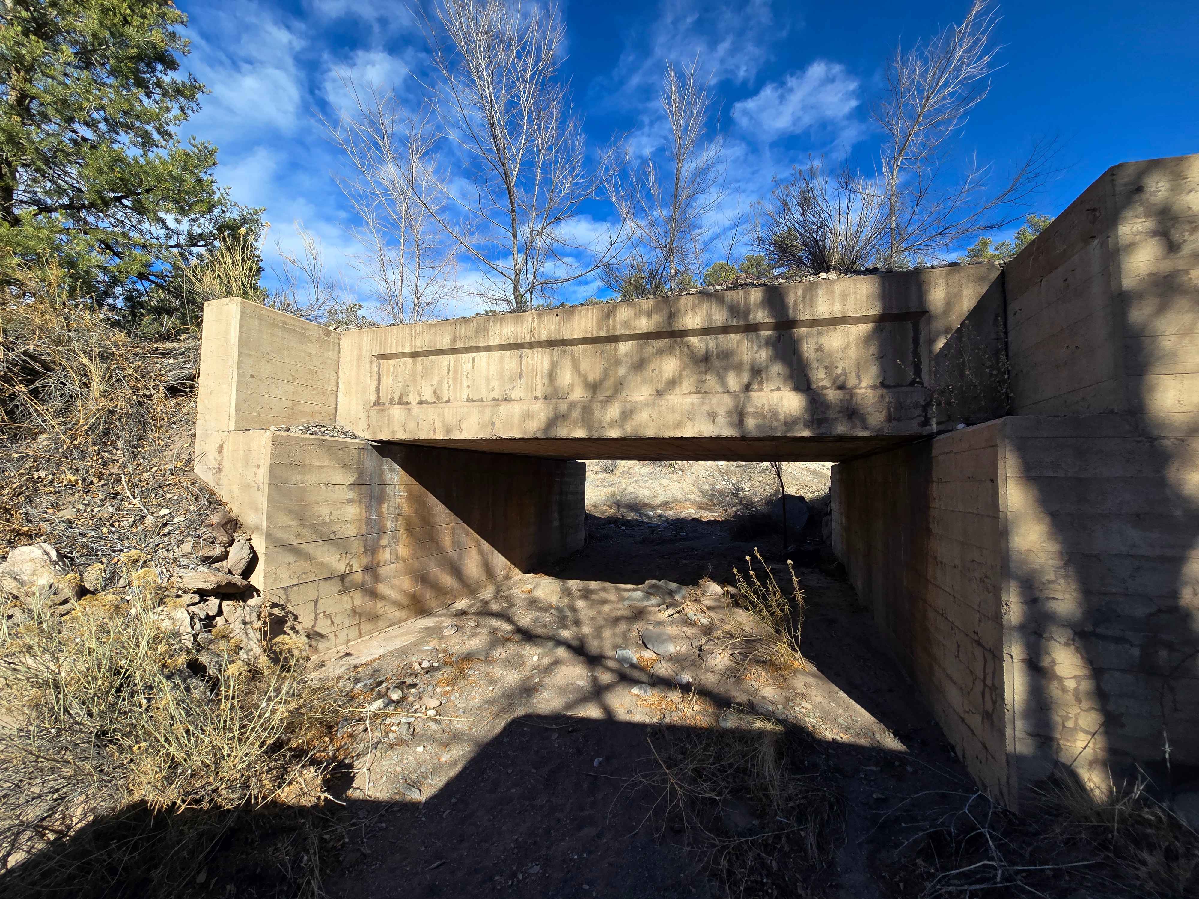
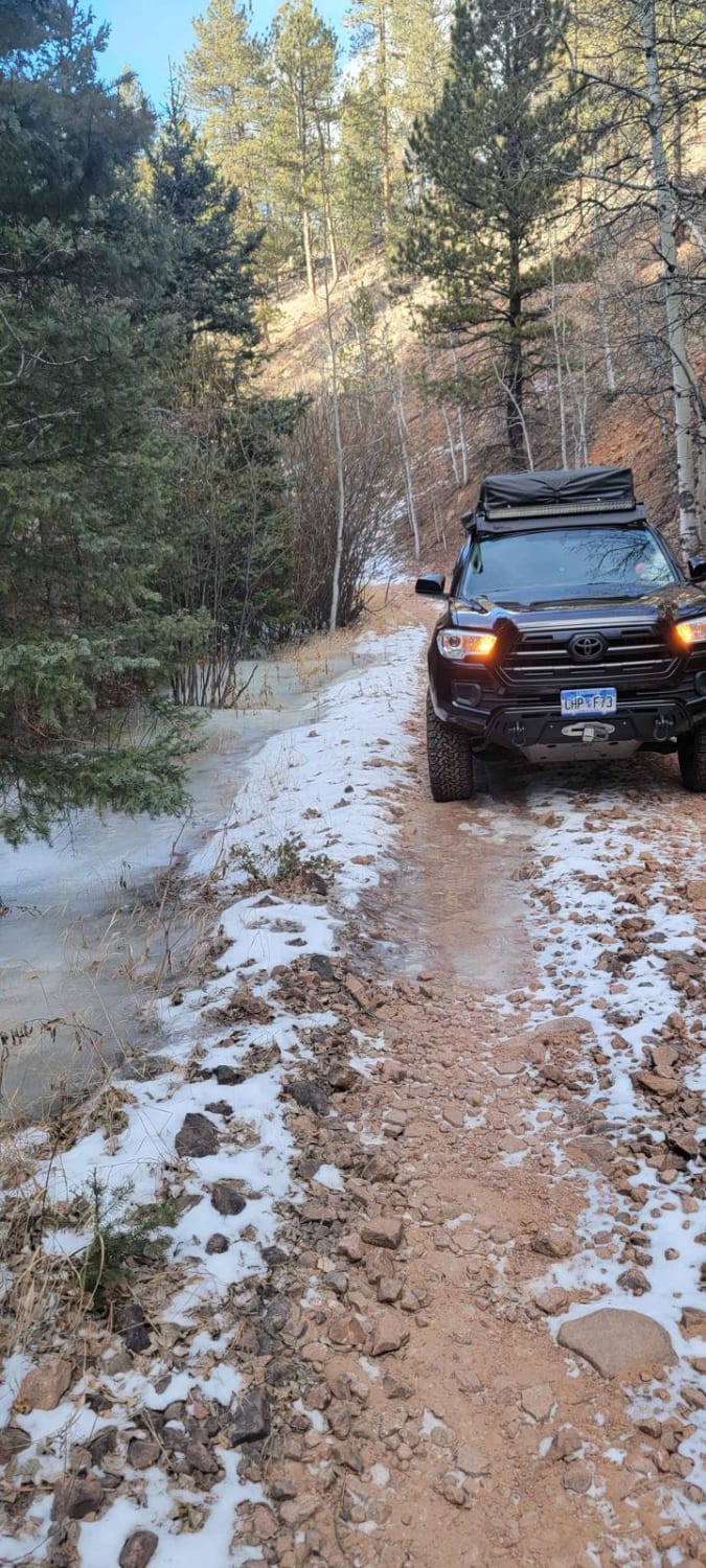
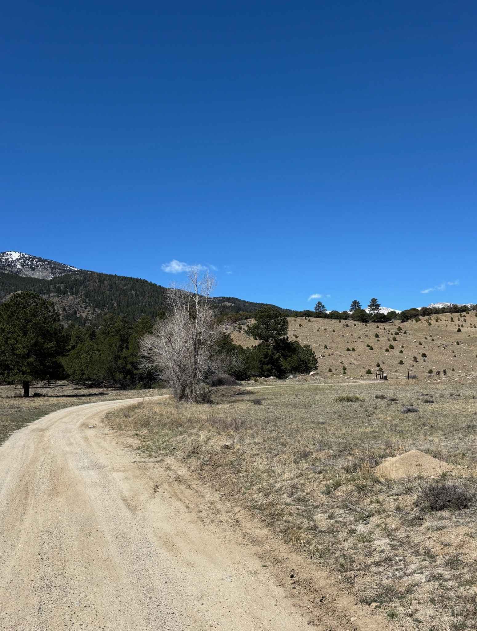
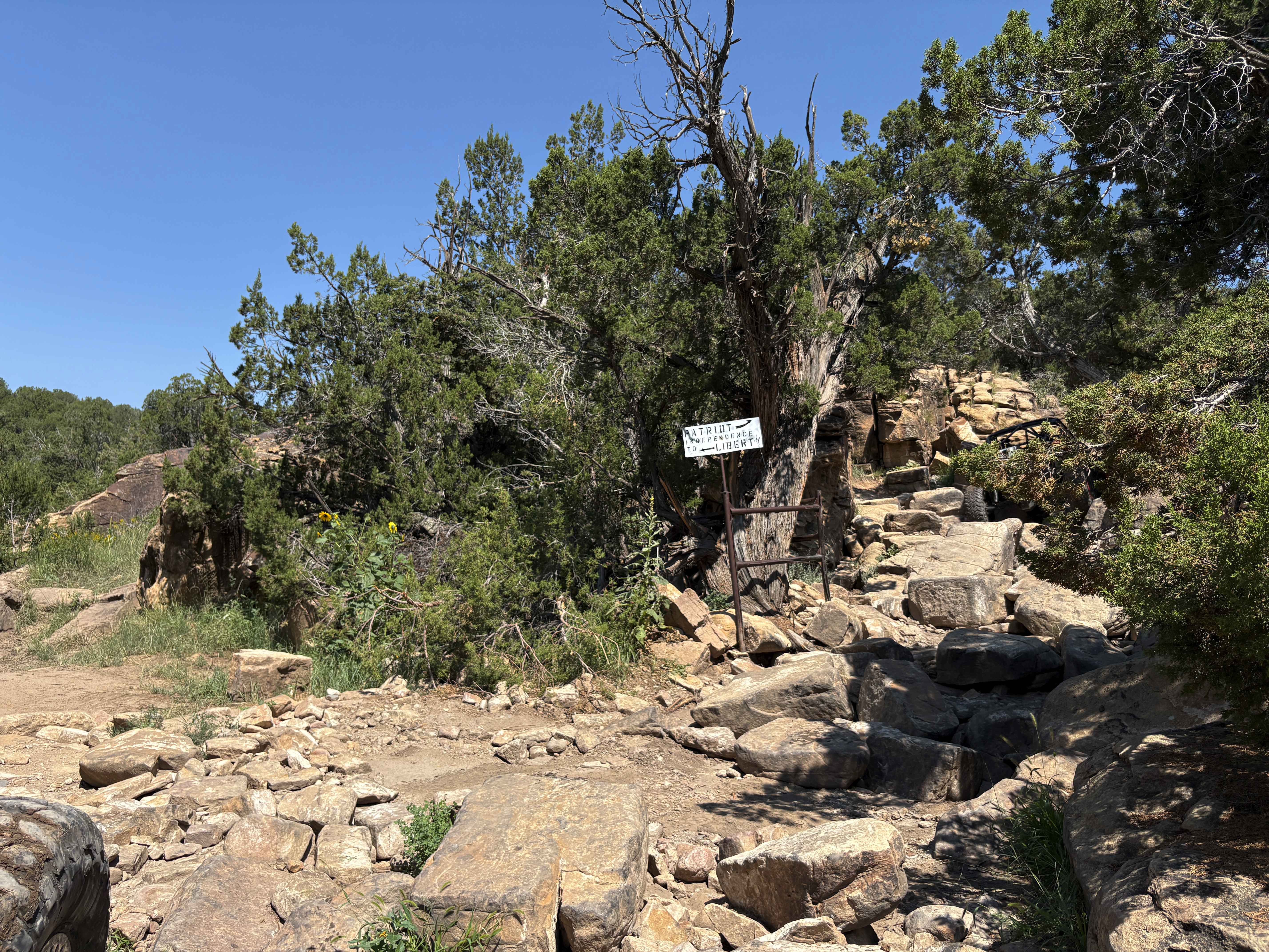
Trail Overview
This scenic route follows Lower Badger Creek along the Arkansas River, winding through open river valleys, cottonwood groves, and rolling foothills just west of Salida. The road is primarily dirt and gravel, generally smooth with gentle grades, shallow ruts, and occasional loose rock, making it accessible for newer four-wheel drivers. While mostly wide and manageable, some narrower or uneven sections call for slow, careful driving. Travelers can enjoy river views, wildlife sightings, and the peaceful, remote atmosphere of the Arkansas River corridor. Changing weather and minimal signage mean carrying navigation tools is recommended, but the trail provides an easy introduction to backcountry driving along a Colorado river corridor.
Photos of Lower Badger Creek
Difficulty
The trail mostly follows a dirt and gravel road with gentle grades, shallow ruts, and occasional loose rock. It is generally wide and manageable for full-size vehicles, making it suitable for newer four-wheel drivers. Some narrower or uneven sections require careful driving, and changing weather or wet conditions can increase slipperiness. Overall, the trail offers a low-risk introduction to backcountry driving along a scenic river corridor. In early spring, the road may not be available due to the high river flow.
Status Reports
Lower Badger Creek can be accessed by the following ride types:
- High-Clearance 4x4
- SUV
- SxS (60")
- ATV (50")
- Dirt Bike
Lower Badger Creek Map
Popular Trails
Hotel Gulch - FR 346
Red Deer Road
The onX Offroad Difference
onX Offroad combines trail photos, descriptions, difficulty ratings, width restrictions, seasonality, and more in a user-friendly interface. Available on all devices, with offline access and full compatibility with CarPlay and Android Auto. Discover what you’re missing today!