Lone Pine Trail
Total Miles
4.9
Technical Rating
Best Time
Summer, Fall
Trail Type
Single Track
Accessible By
Trail Overview
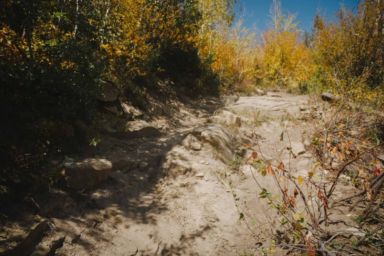
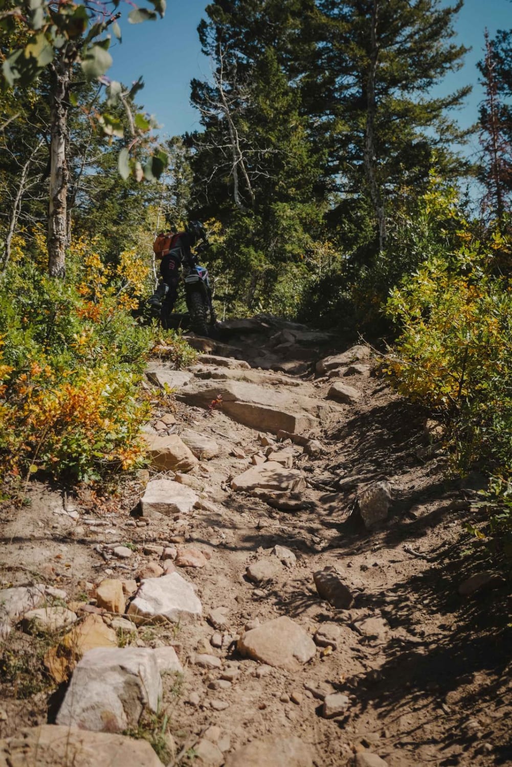
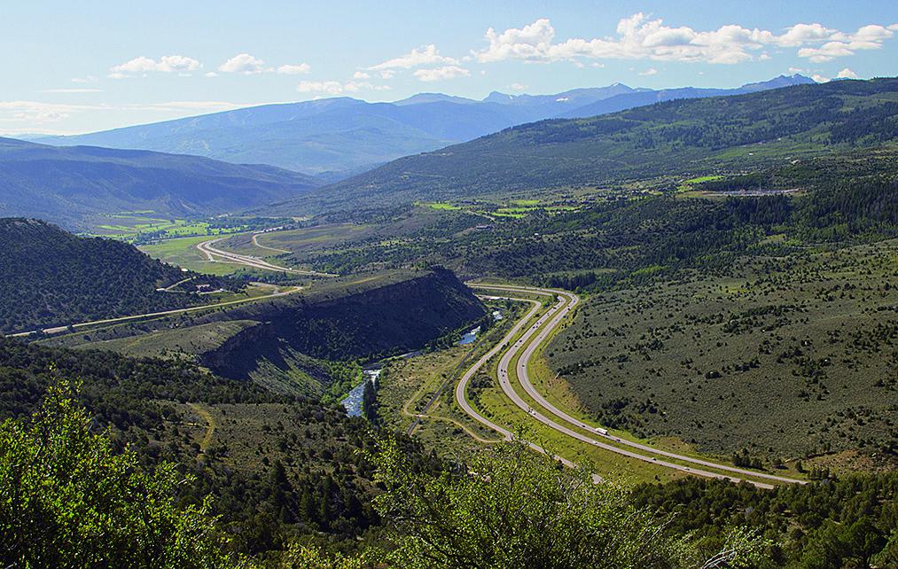
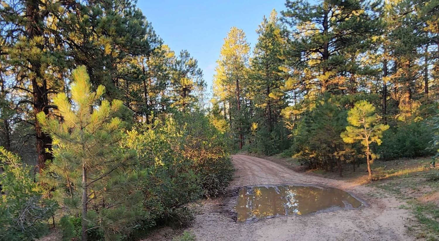
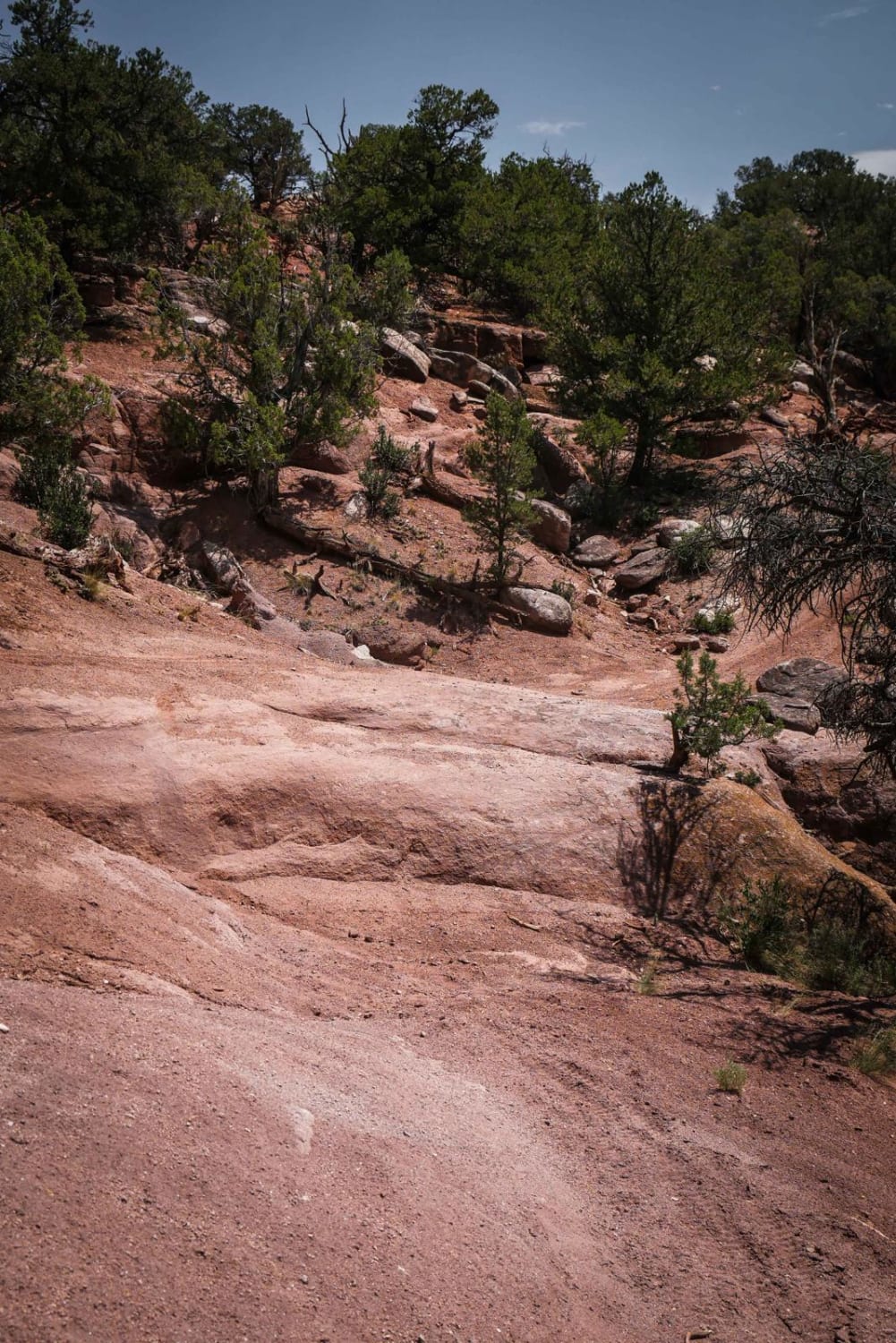
Lone Pine is a fun twisty trail in a burn area in the White River National Forest. Since it goes through a burn area, the aspen trees are young and short, opening up the views of the surrounding mountains. The trail is a moderate challenge because it has lots of steep hill climbs with dry loose dirt and loose big rocks in the trail. There are a couple of rock obstacles on the climbs with big rock ledges to get up, but they're wide and with multiple line choices. Some sections on the climbs are very steep with some dry roots and sometimes even rock slabs. Other less steep parts of the trail are more fast and flowy, with twisty turns through an aspen tree forest. There's a couple creek crossings that are probably shallow in fall but could be deep in spring. All of the climbing is done in the south-to-north direction. If riding north to south you'll be going down all of the steep sections. Overall it's a really fun and well-maintained trail.
Photos of Lone Pine Trail
Difficulty
Intermediate single track with several sections that are very steep and loose and rocky.
Status Reports
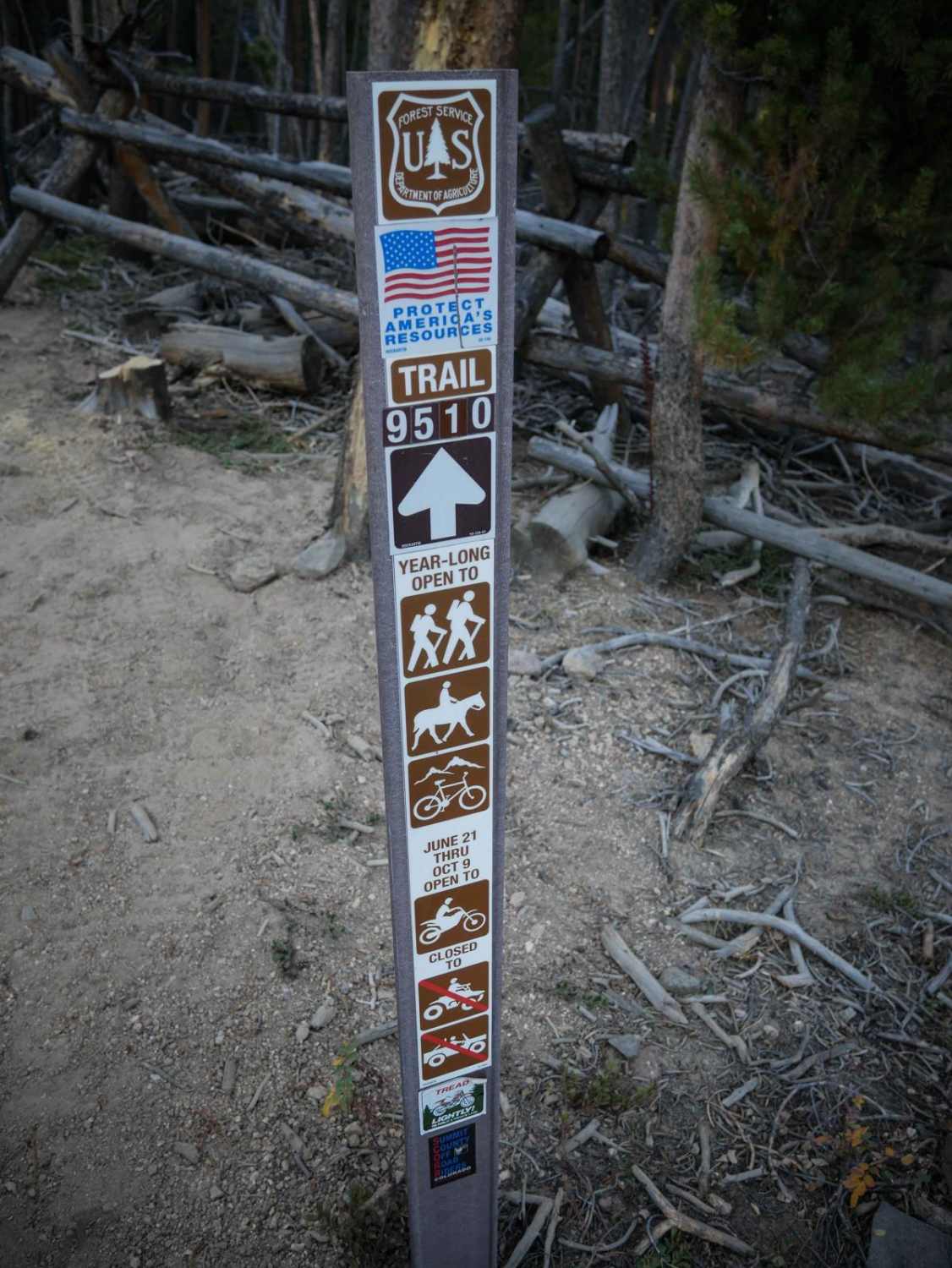
Lone Pine Trail can be accessed by the following ride types:
- Dirt Bike
Lone Pine Trail Map
Popular Trails
Bocco Mountain, Blue Lake
Upper House Creek Road
The onX Offroad Difference
onX Offroad combines trail photos, descriptions, difficulty ratings, width restrictions, seasonality, and more in a user-friendly interface. Available on all devices, with offline access and full compatibility with CarPlay and Android Auto. Discover what you’re missing today!