Joshos
Total Miles
2.1
Technical Rating
Best Time
Spring, Summer, Fall
Trail Type
Single Track
Accessible By
Trail Overview
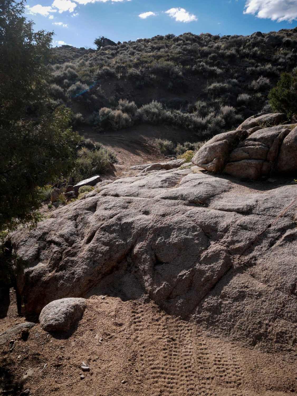
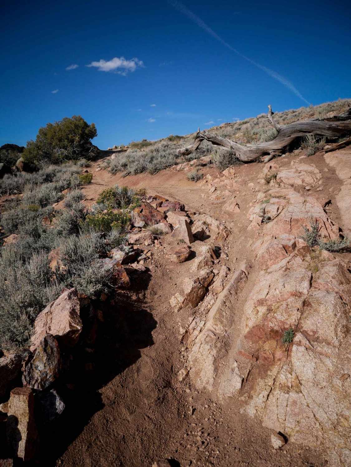
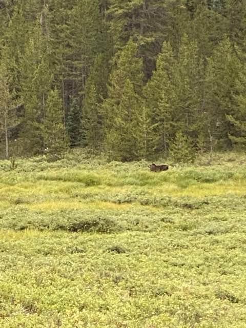
Joshos is a 2.2-mile-long trail in Hartman Rocks that has a mix of fast easy stuff, moderate rock features, and scenic sections, making it a fun one to add to your ride through the recreation area. It makes a half loop off of Rattlesnake Junction Road. The west end of Joshos starts out very fast through the desert as a dirt trail having to go through a lot of whoops. This one probably gets a lot of use. It meanders the sagebrush hills, crossing ravines and going through a metal pinch point, with not a lot of features for the first half. On the southern part of the loop, it goes through a lush grove of aspen trees, making it more interesting than the barren desert terrain. It comes up to a few rock slab features that are moderate difficulty, like ramped rock ledges up to a foot tall, or a steeper long slab of rock. The slab rock has great traction, so it isn't overly difficult. The trail goes through some pine trees with beautiful rock cliffs in the background, making it really scenic.
Photos of Joshos
Difficulty
This is an intermediate single track due to a couple of rock features throughout the 2.2 miles that require a bit of skill of experience on rock slab.
Status Reports
Joshos can be accessed by the following ride types:
- Dirt Bike
Joshos Map
Popular Trails
Warden Gulch Road
Upper Section of East Fork San Juan River Rd-Fr 667
Slaughter House Gulch
Dinkle Lake Road
The onX Offroad Difference
onX Offroad combines trail photos, descriptions, difficulty ratings, width restrictions, seasonality, and more in a user-friendly interface. Available on all devices, with offline access and full compatibility with CarPlay and Android Auto. Discover what you’re missing today!