Grand Canyon Hills Road BLM 6100
Total Miles
4.1
Technical Rating
Best Time
Spring, Summer, Fall, Winter
Trail Type
Full-Width Road
Accessible By
Trail Overview
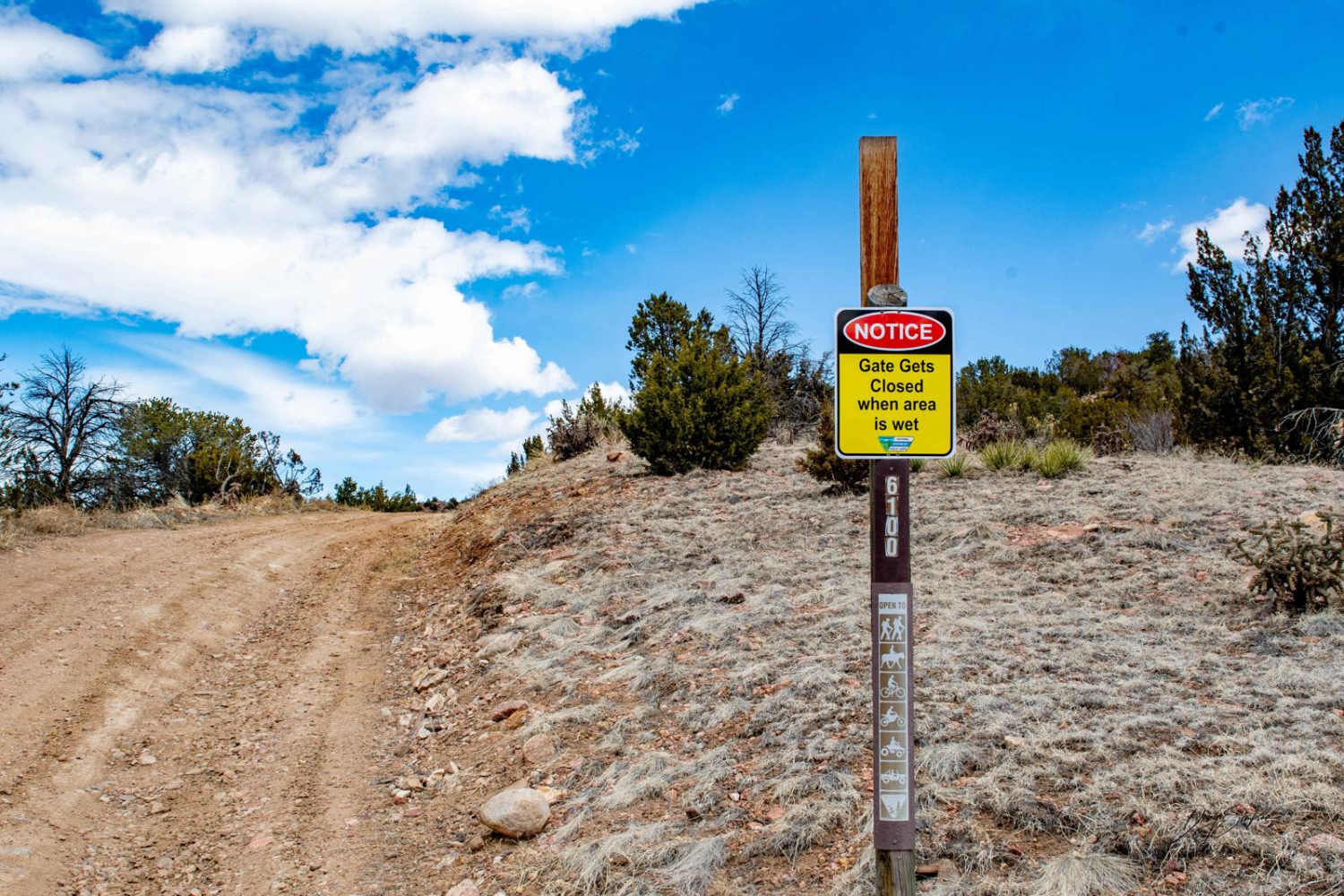
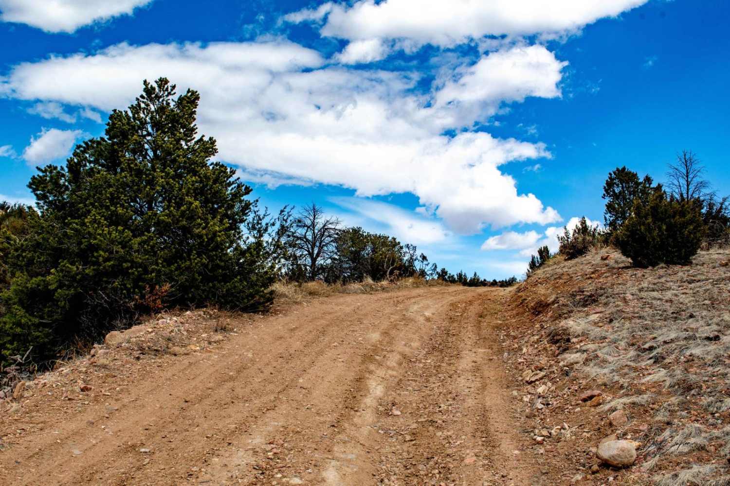
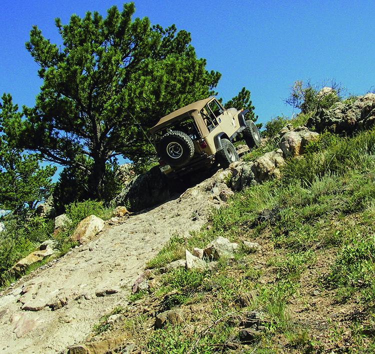
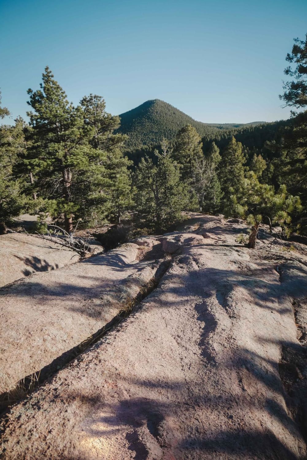
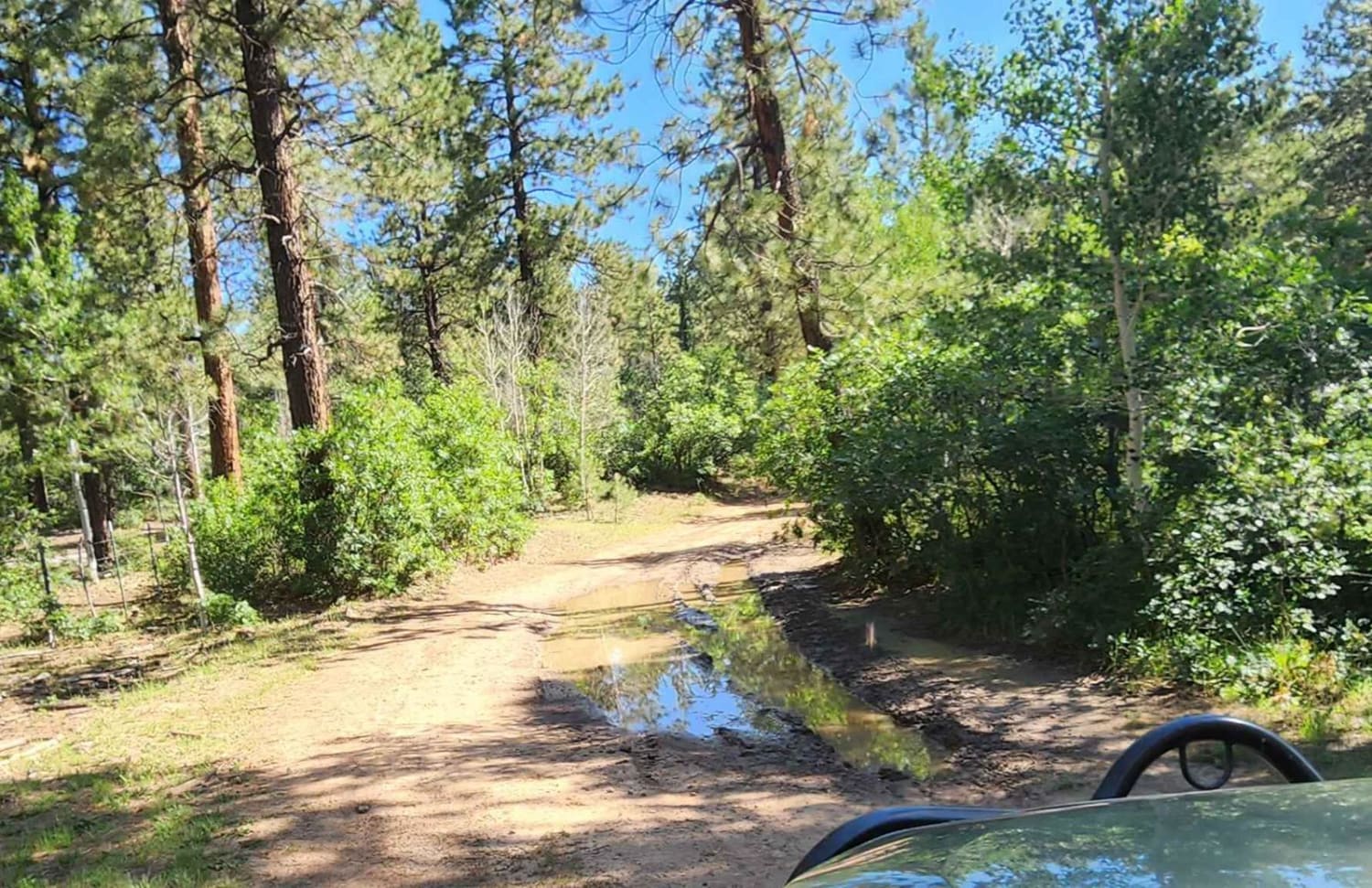
The trail is pretty easy unless wet; then it is really muddy in places. Sometimes when conditions are wet and muddy, the BLM will close the gate. The trail travels up through pinyon pine, cedar trees, and some meadows. At the top, the last quarter mile of the trail gets narrow and rockier. There, you'll have views out to the east towards Canon City.
Photos of Grand Canyon Hills Road BLM 6100
Difficulty
When muddy, it can get real bad in spots.
History
This area is on the edge of the 2013 Royal Gorge wildfire.
Status Reports
Grand Canyon Hills Road BLM 6100 can be accessed by the following ride types:
- High-Clearance 4x4
- SUV
- SxS (60")
- ATV (50")
- Dirt Bike
Grand Canyon Hills Road BLM 6100 Map
Popular Trails

679 Tornado Alley
Millwood Road
The onX Offroad Difference
onX Offroad combines trail photos, descriptions, difficulty ratings, width restrictions, seasonality, and more in a user-friendly interface. Available on all devices, with offline access and full compatibility with CarPlay and Android Auto. Discover what you’re missing today!