Elkhorn Trail North
Total Miles
6.6
Technical Rating
Best Time
Summer, Fall
Trail Type
50" Trail
Accessible By
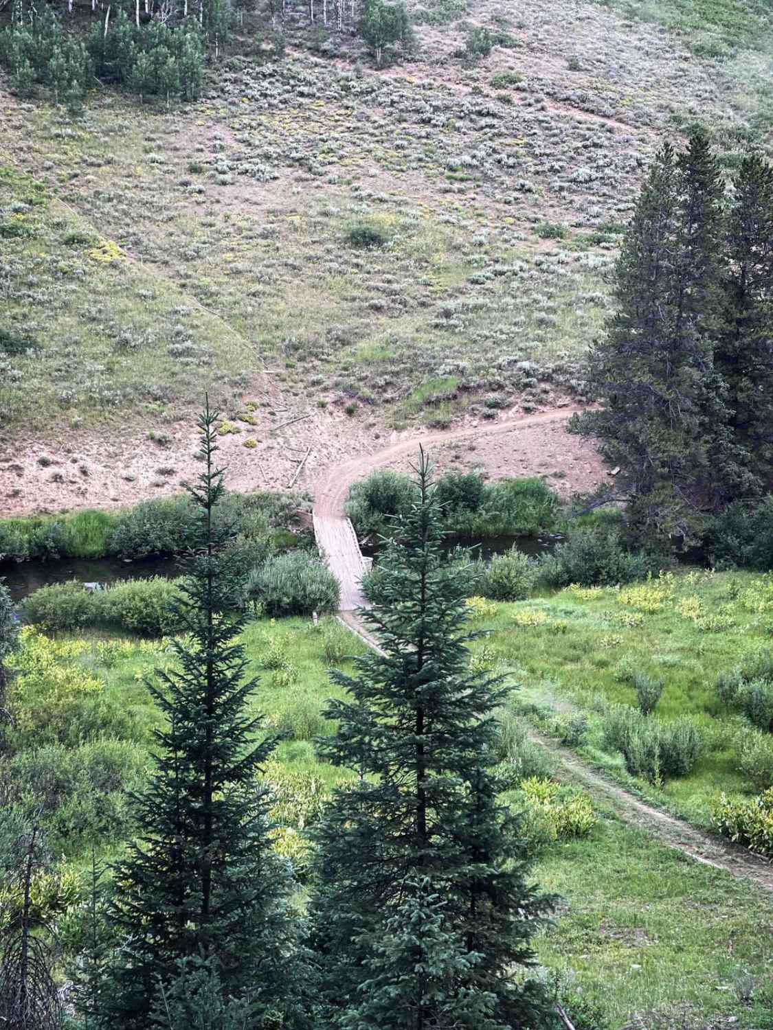
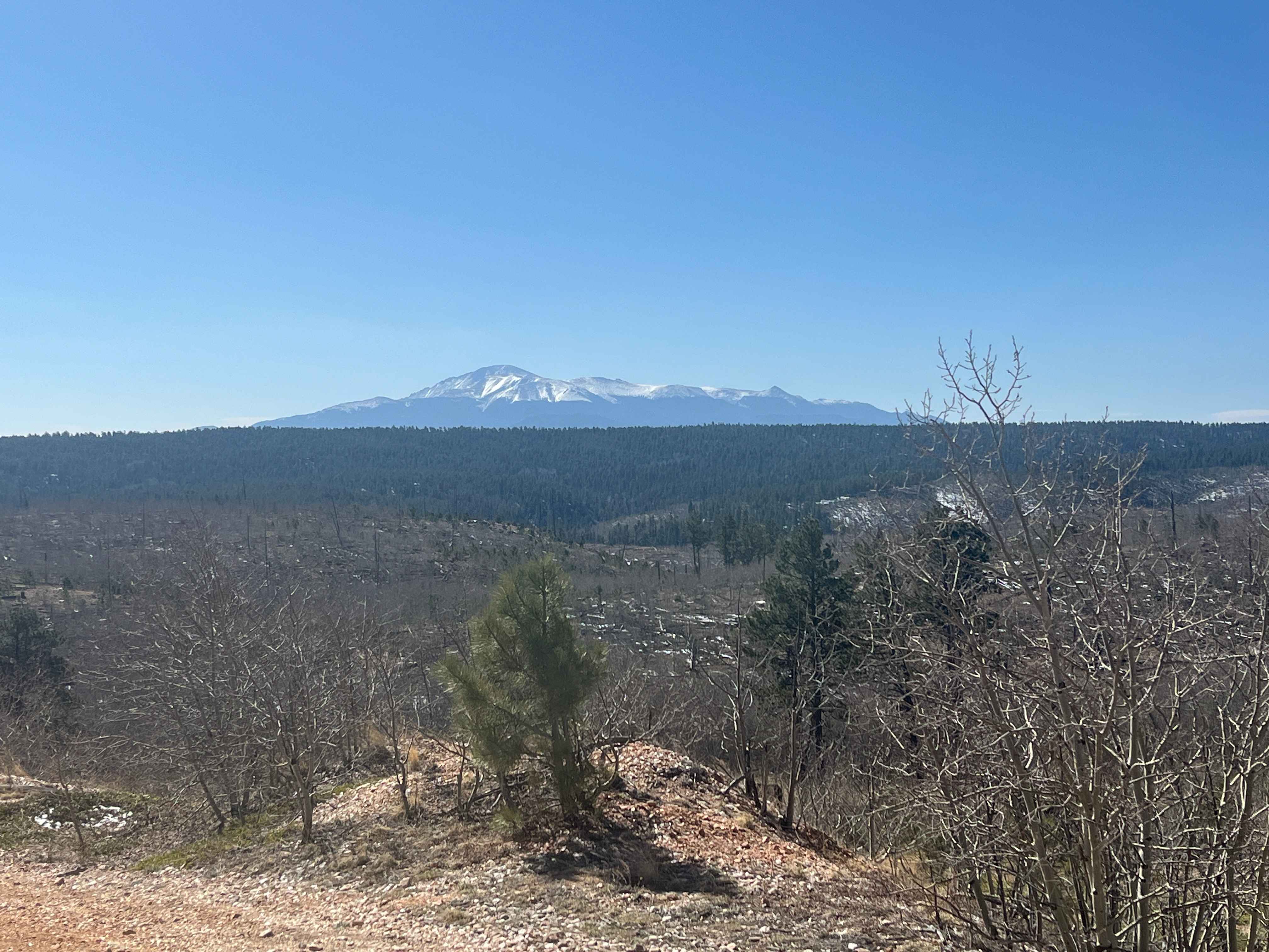
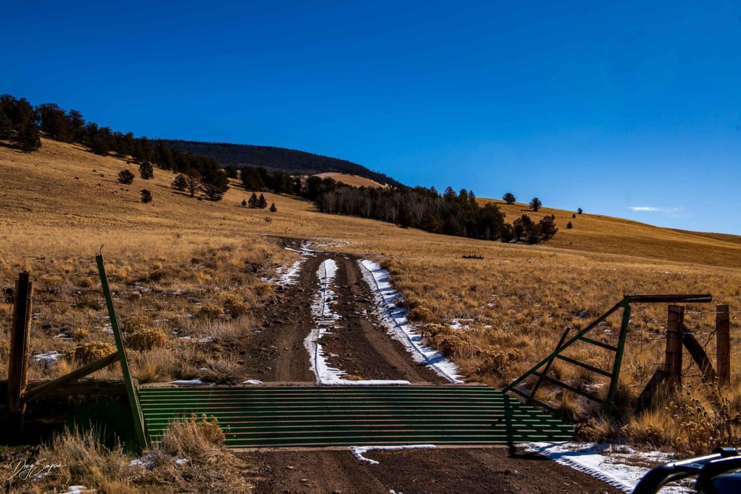
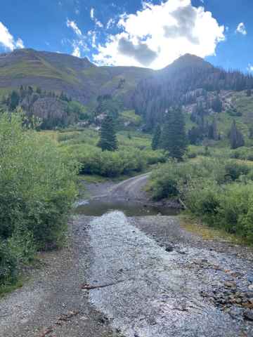
Trail Overview
Elkhorn Trail North is a moderately difficult ATV trail that offers a varied ride through forested terrain in the Routt National Forest. From its southern entrance, the trail descends on a semi-steep, sustained grade toward the Middle Fork of the Little Snake River, with loose small rock along the way and a scenic view of the bridge near the bottom. Although many of the larger rocks have been pushed off the trail over time, loose rocky sections remain. Several wooden bridges span creek crossings along the route. It goes up a climb out of the valley with moderate switchbacks that are pretty wide and gradual - not overly difficult. The trail includes occasional roots and a mix of dusty, rocky, and smoother sections, making it a relatively fast ride for dirt bikes and a slower, bumpier ride in spots for quads. After 4.7 miles, the trail reaches Elkhorn Mountain Road, which connects to an additional .6 mile segment of ATV trail via a short road link (if you take Elkhorn Mountain Road for .8 miles west, then 508.1J north for about a half mile). This final .6 mile section is the most challenging part of the route, featuring a very steep, rocky downhill with a few log crossings, dead-ending at the Wyoming border at the Elkhorn Stock Driveway hiking trail with no signage to indicate the transition. The ATV trail is closed seasonally from 12/2 to 6/14.
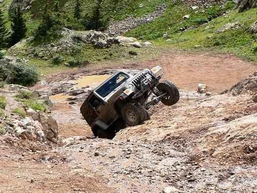
Photos of Elkhorn Trail North

Difficulty
This is an intermediate trail due to the steep grades, loose rock, and the final rocky descent near the north end. The rest of the trail varies between smoother and more technical segments but remains manageable overall for average riders.
Status Reports
Elkhorn Trail North can be accessed by the following ride types:
- ATV (50")
- Dirt Bike
Elkhorn Trail North Map
Popular Trails
39 Mile Mountain Part 2
Cunningham Gulch
Poughkeepsie Gulch
The onX Offroad Difference
onX Offroad combines trail photos, descriptions, difficulty ratings, width restrictions, seasonality, and more in a user-friendly interface. Available on all devices, with offline access and full compatibility with CarPlay and Android Auto. Discover what you’re missing today!