Eagle Rock Road
Total Miles
2.0
Technical Rating
Best Time
Summer, Fall, Spring
Trail Type
High-Clearance 4x4 Trail
Accessible By
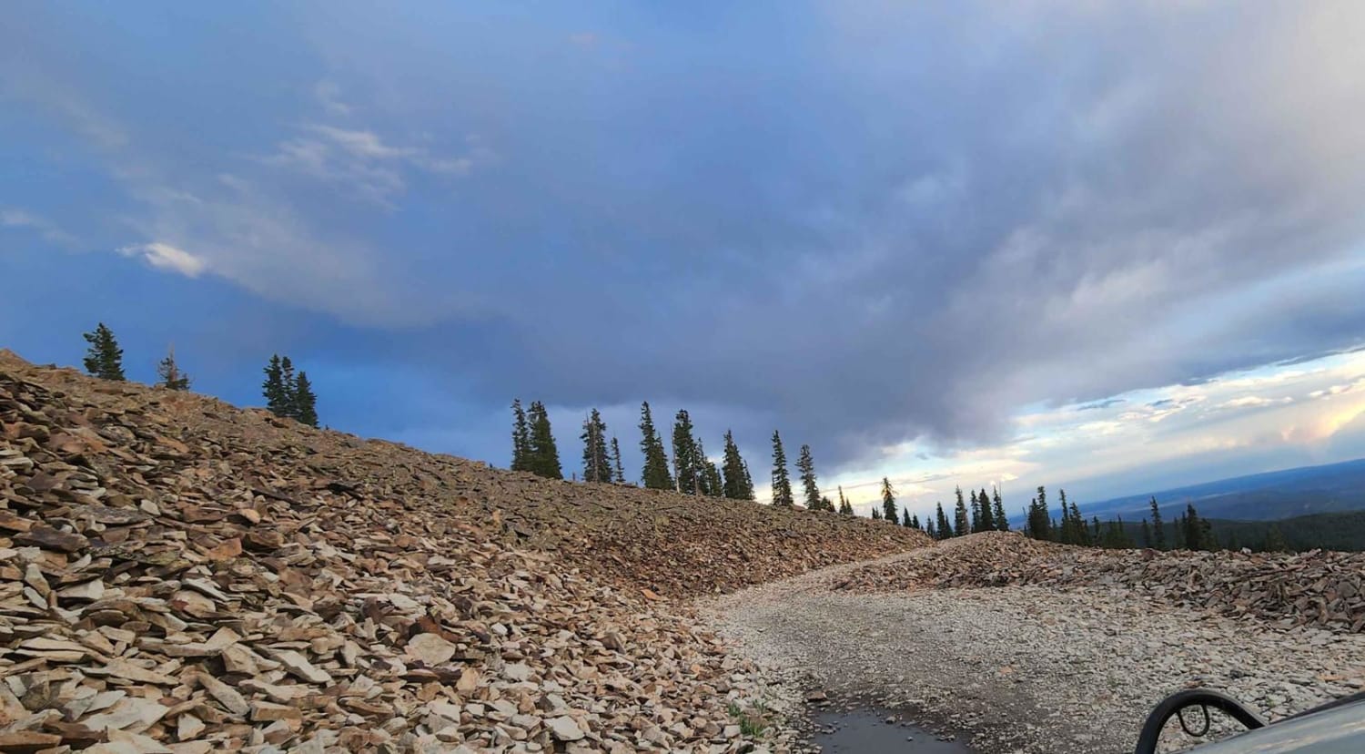
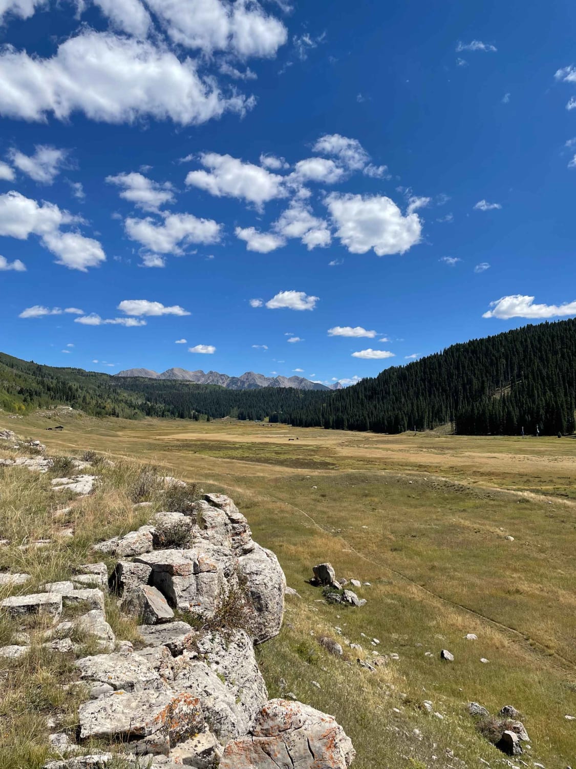
Trail Overview
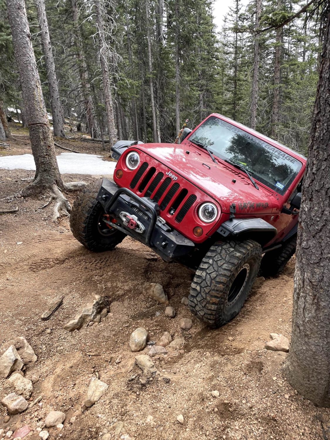
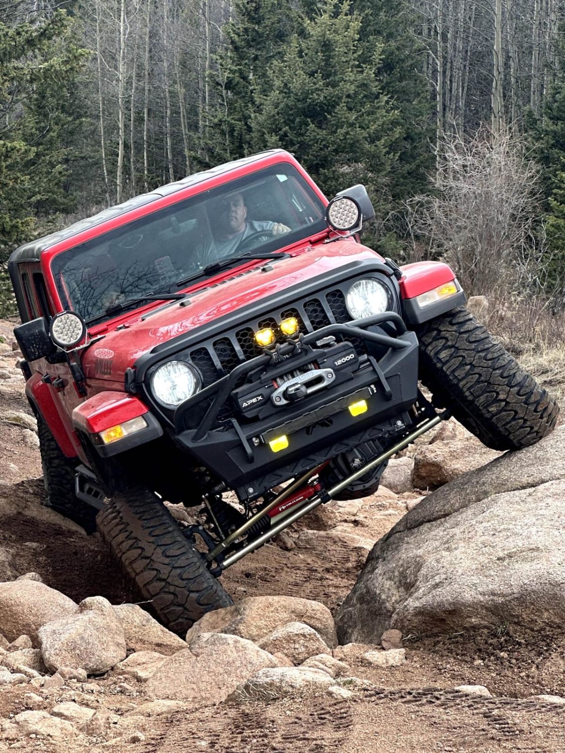
This 2.1-mile point-to-point trail is great for the intermediate to advanced off-roader. Though rated as a 6 there are more difficult lines available that are rated 7 to 8. Several of the more difficult obstacles do have a bypass. The Rock Garden, approx. halfway through the trail, is the most difficult obstacle and has boulders up to 3--4 feet in height. Recommend vehicle with 35" tires and 2" lift with lockers and winch for this trail.
Photos of Eagle Rock Road
Difficulty
Several obstacles with boulders between 2-3 feet in height.
Status Reports
Eagle Rock Road can be accessed by the following ride types:
- High-Clearance 4x4
- SxS (60")
- Dirt Bike
Eagle Rock Road Map
Popular Trails
Hackett Gulch
The onX Offroad Difference
onX Offroad combines trail photos, descriptions, difficulty ratings, width restrictions, seasonality, and more in a user-friendly interface. Available on all devices, with offline access and full compatibility with CarPlay and Android Auto. Discover what you’re missing today!