Bull Park Road
Total Miles
2.7
Technical Rating
Best Time
Spring, Summer, Fall
Trail Type
Full-Width Road
Accessible By
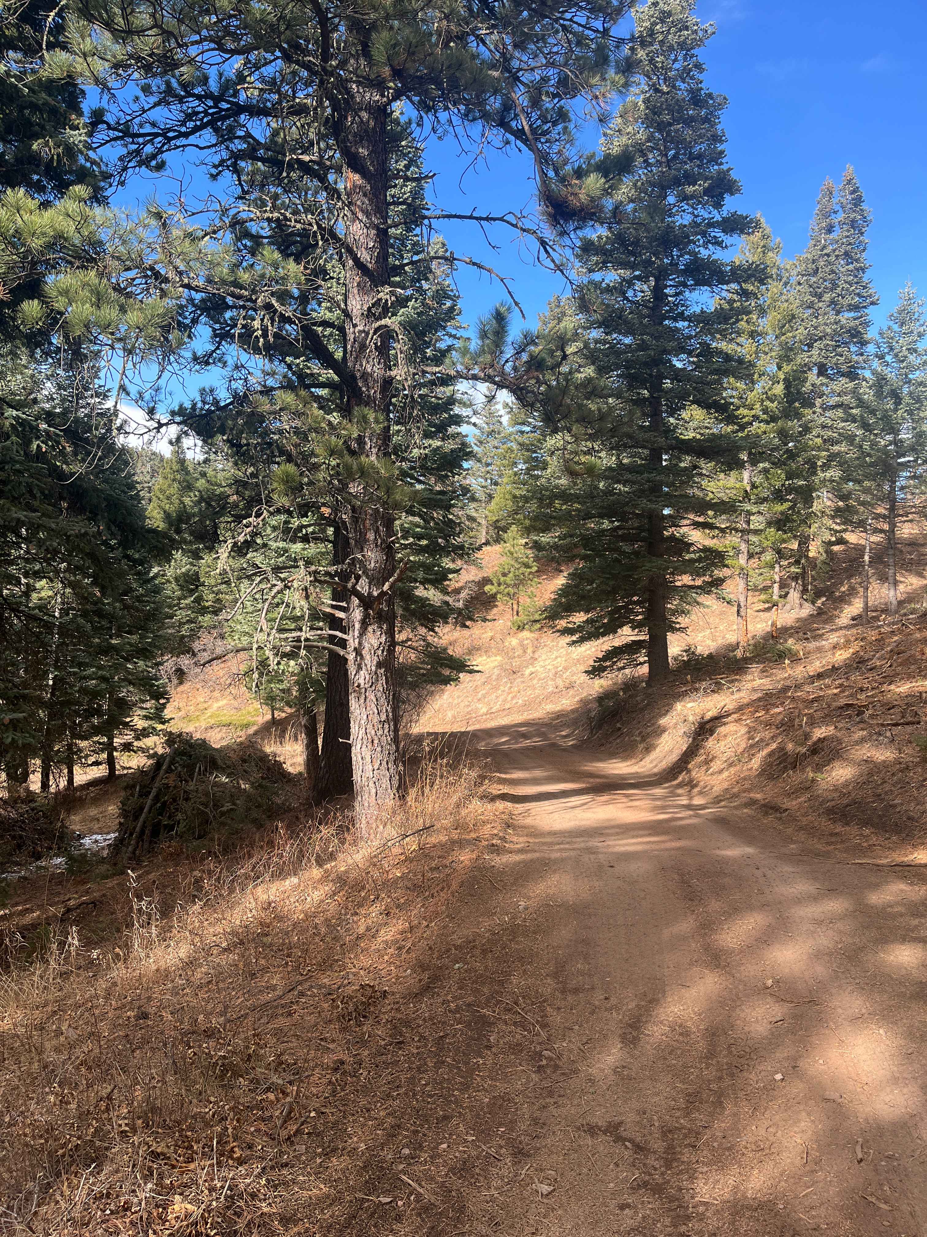
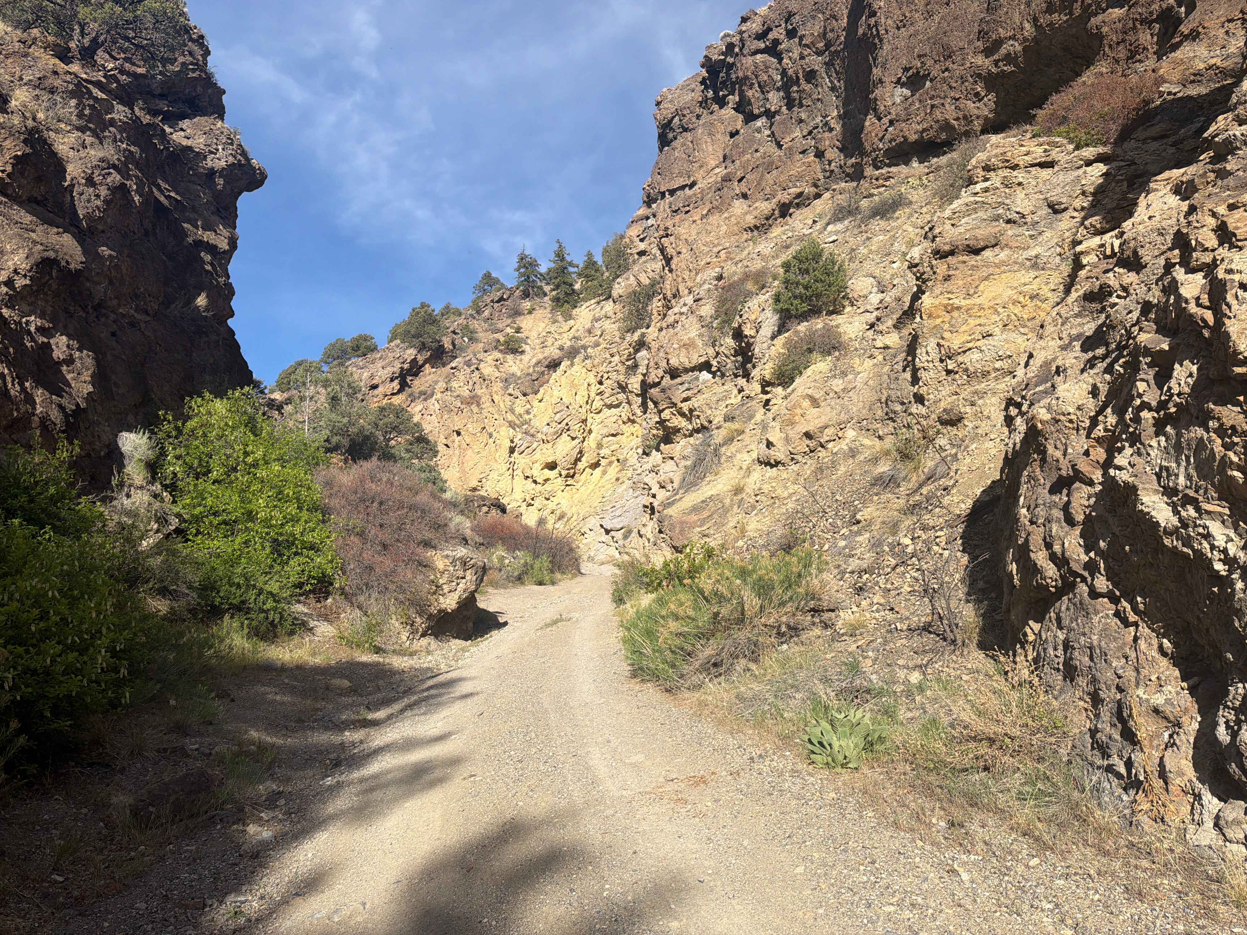
Trail Overview
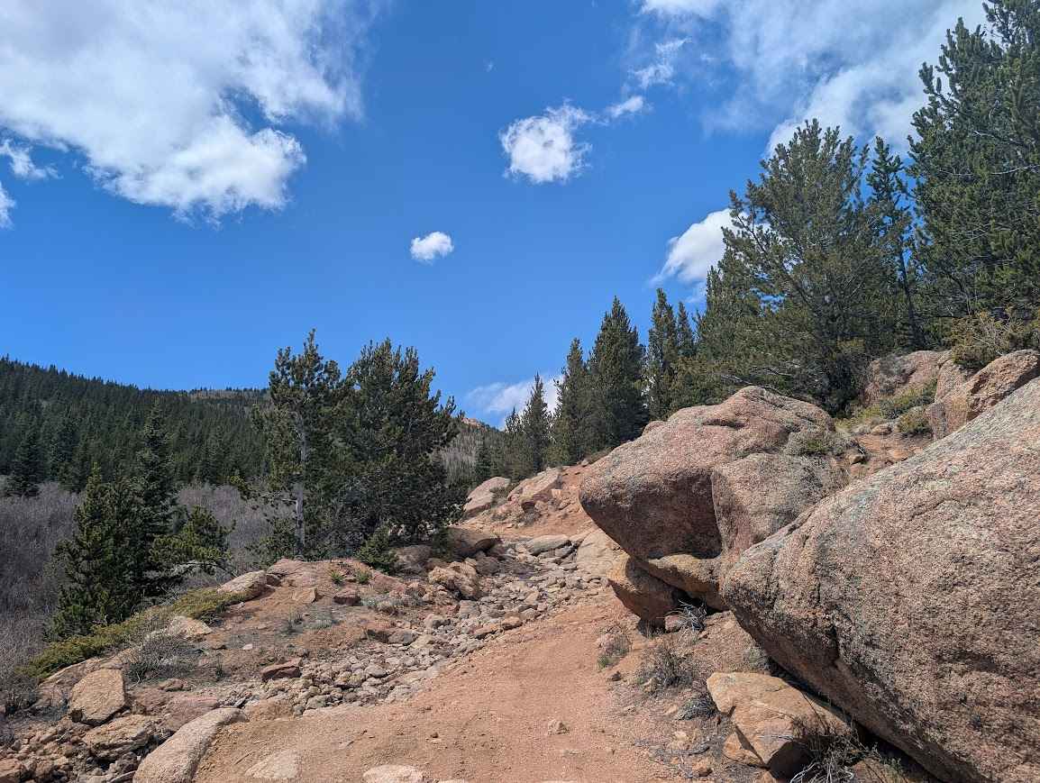
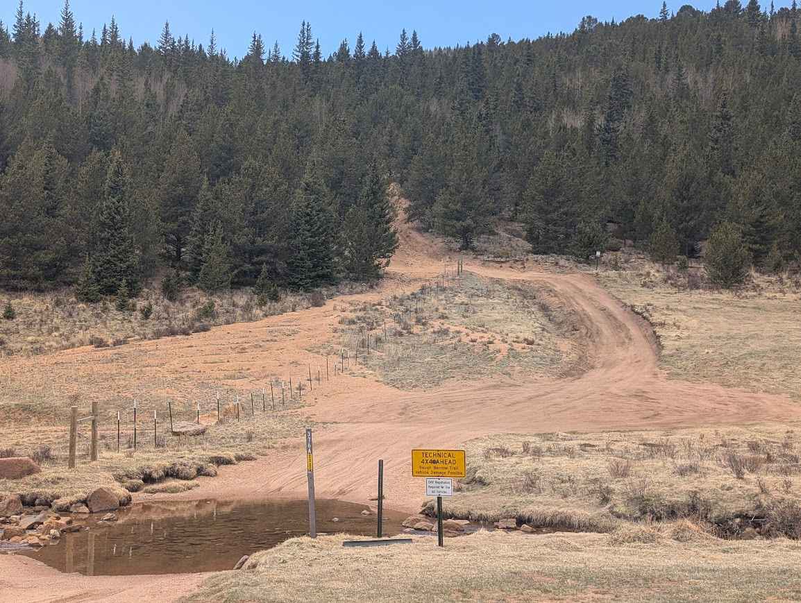
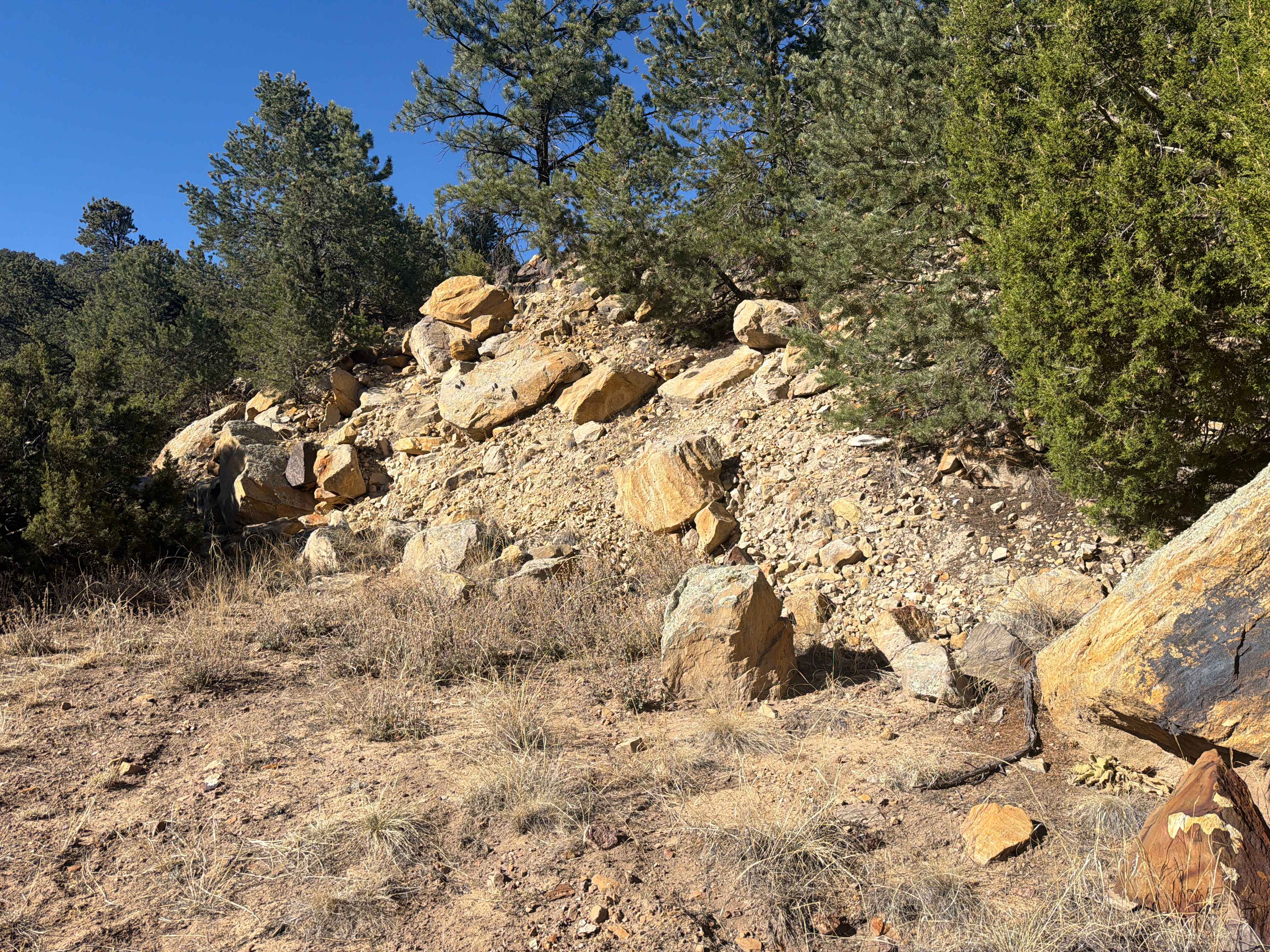
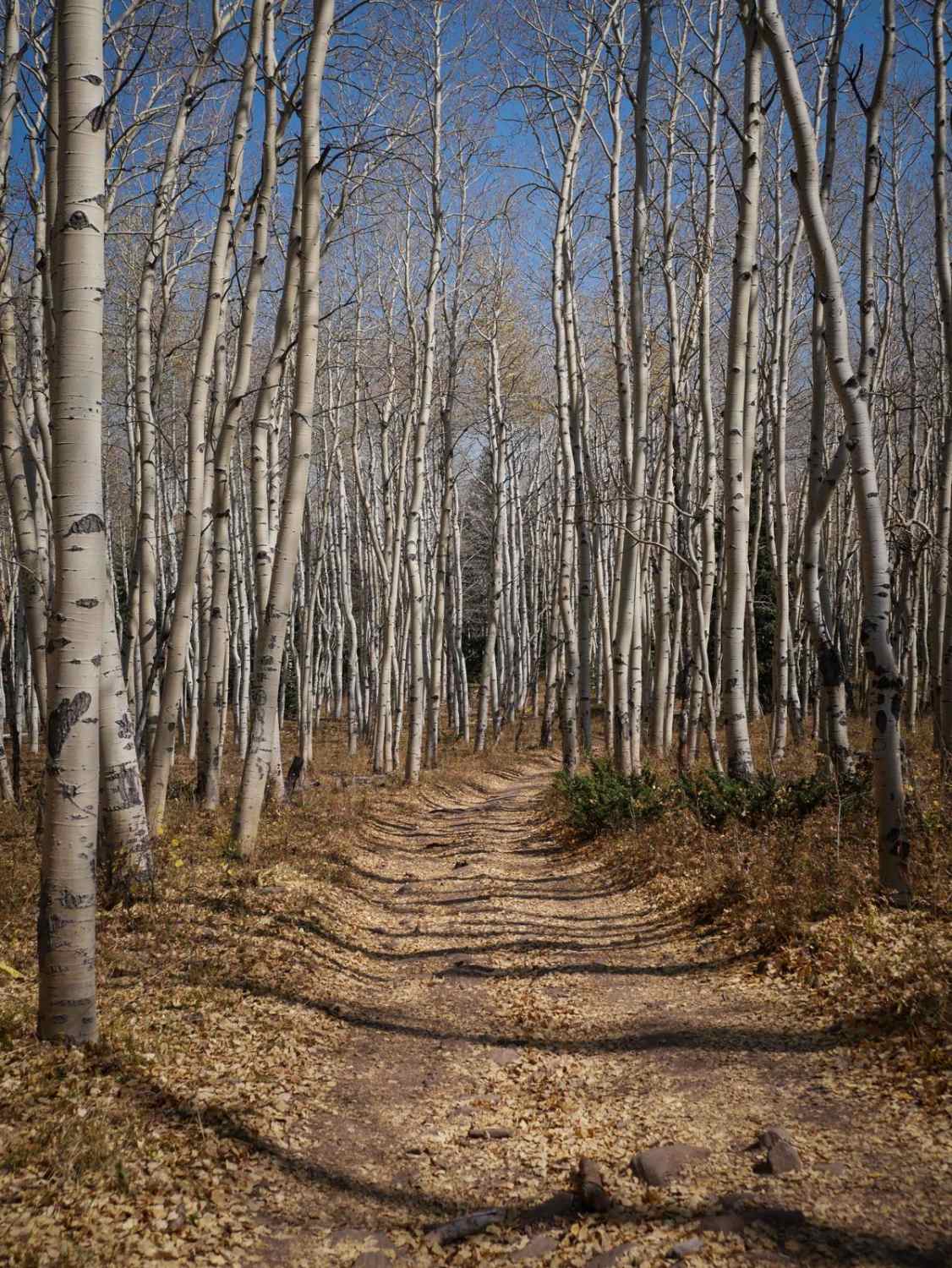
The trail begins as you turn off of Seven Lakes Rd (376) and cross Boehmer Creek. Right at 1/4 mile into the trail, a small rock garden, that's usually wet, serves as an unofficial gatekeeper, so you'll know what's in store for the remainder of the trail. You'll climb a couple of switchbacks until you top out at the high point of 11,390 and are rewarded with jaw-dropping views. You'll descend momentarily before making a hard right-hand turn downhill, then finding the rest of the trail, which takes you out to a large rock cropping and more incredible views, including toward the Cripple Creek and Victor Gold mine. The remaining trail has several rocks large enough to require careful tire placement for smaller built vehicles. There is plenty of space to park at the end of the trail and soak in the vistas. The Tracie Group Mine (Surface: Beryllium) is about two hundred yards to the east of the parking area and can be tricky to locate, but it is fun to look around. Please leave any artifacts where you find them. Bull Park Rd is closed seasonally. Please refer to local forest MVUMs for the most accurate/up-to-date info.
Photos of Bull Park Road
Difficulty
Rocks up to 20-24" tall. Careful spotting may be required to not hang up differentials in rock garden areas.
Status Reports
Bull Park Road can be accessed by the following ride types:
- High-Clearance 4x4
- SUV
- SxS (60")
- ATV (50")
- Dirt Bike
Bull Park Road Map
Popular Trails
The onX Offroad Difference
onX Offroad combines trail photos, descriptions, difficulty ratings, width restrictions, seasonality, and more in a user-friendly interface. Available on all devices, with offline access and full compatibility with CarPlay and Android Auto. Discover what you’re missing today!