Tie 3-4
Total Miles
1.1
Technical Rating
Best Time
Spring, Summer, Fall
Trail Type
Single Track
Accessible By
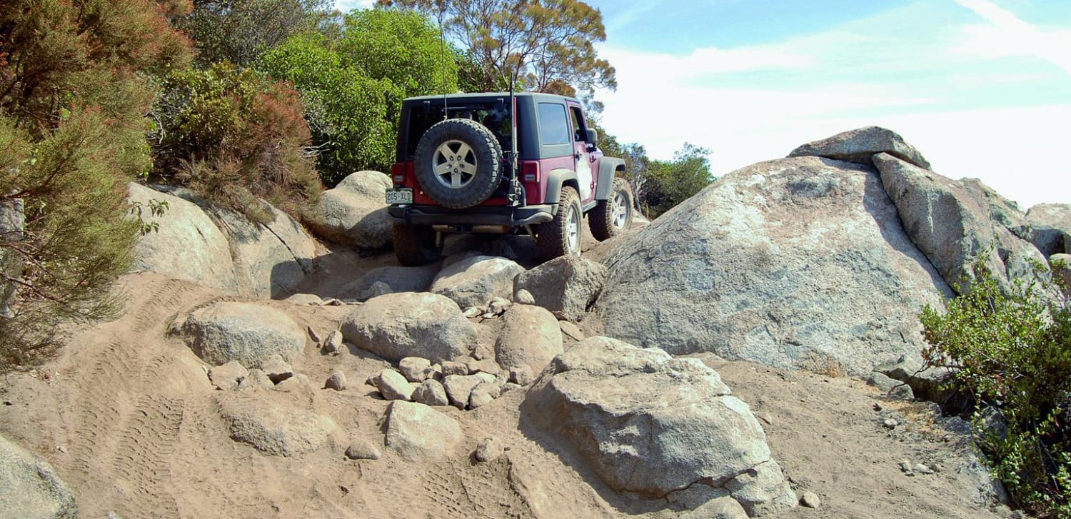
Trail Overview
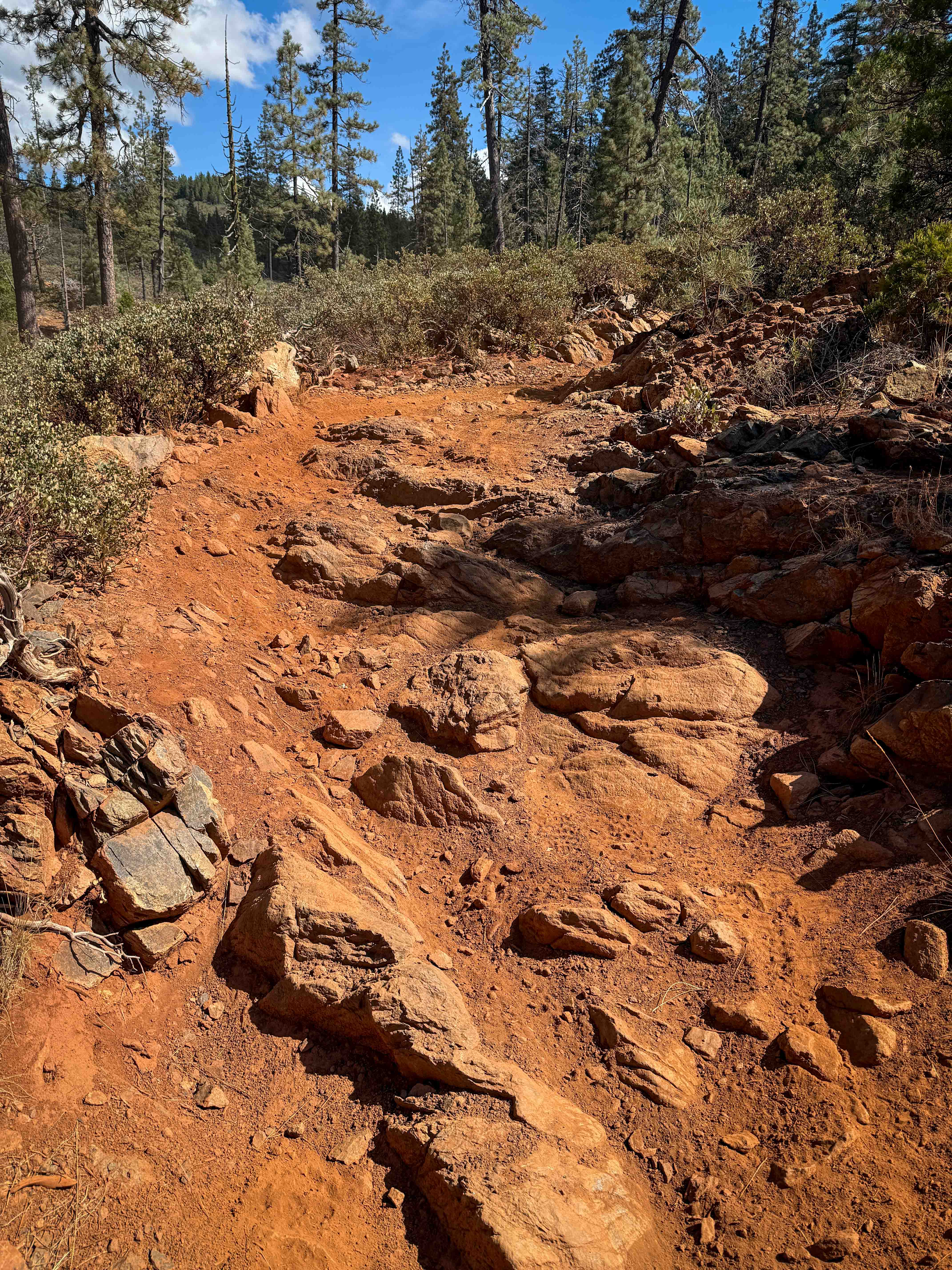
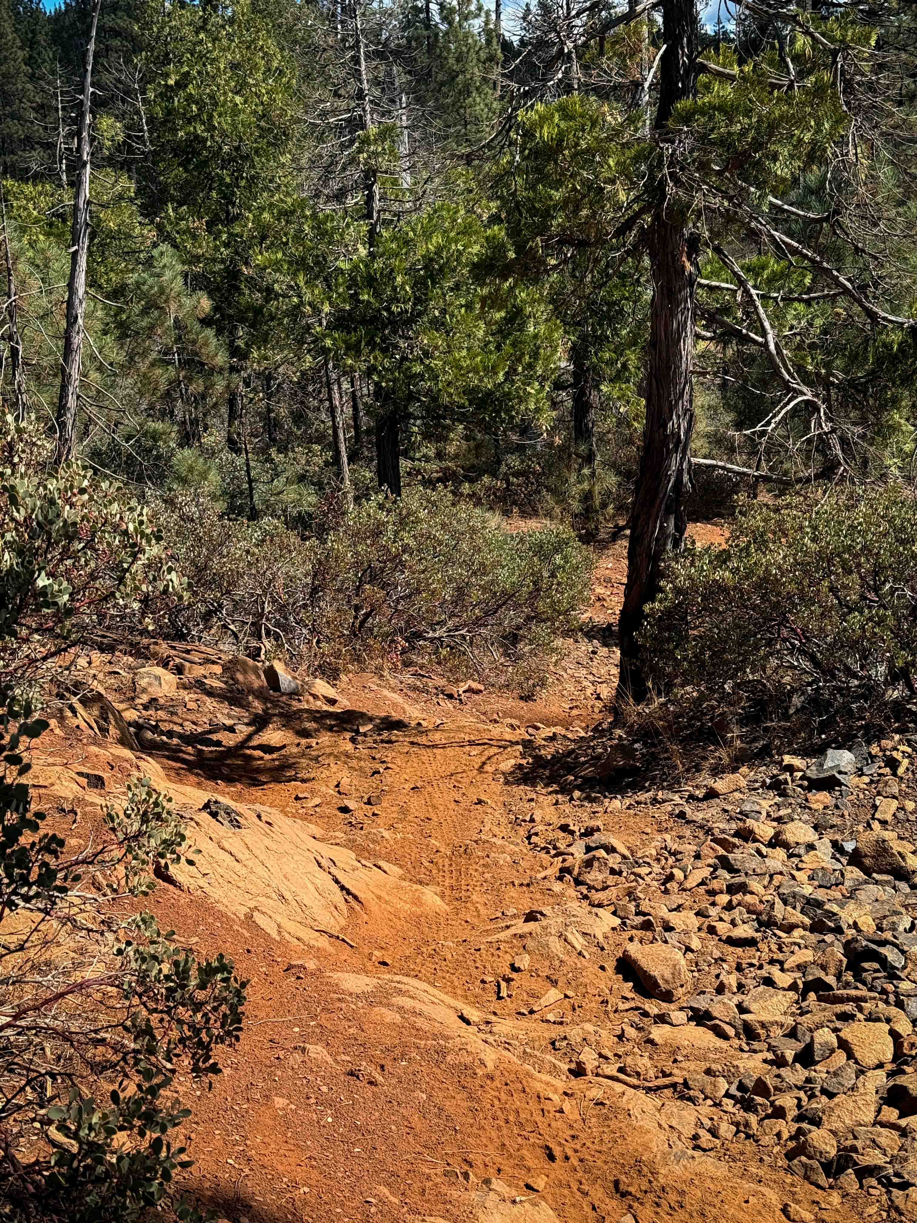
Tie 3-4 is a 1.1-mile-long dirt bike-only trail that maintains a fairly wide path as it cuts through a dry pine forest. It connects Loop 4 to Tie 3-1. The terrain is dominated by dusty red dirt, loose rocks, and frequent rock features, including embedded ledges and foot-tall stair steps. Riders cross dry ravines filled with packed loose rock, and the surface is often layered with football-sized embedded rocks. The trail alternates between flowy stretches and slower, more technical rocky sections. There are only a couple of steeper spots along the route, but it's mostly gradual. It will be a similar difficulty in either direction, as there are rock ledges going both up and down; however, many of the ledges are ramped and wide, with multiple line choices that ease the technicality somewhat. The route is also marked by large waterbars and manzanita bushes lining the edges, and it eventually connects to Tie 3-1, another rocky dirt bike trail.
Photos of Tie 3-4
Difficulty
This is a moderately easy trail because of the repeated rocky ledges, stair-step formations, and frequent loose rock. Dirt bikes can pick a pretty good line through the rocks, making it not overly difficult, but still more technical than most of the other surrounding trails in the trail system.
Status Reports
Tie 3-4 can be accessed by the following ride types:
- Dirt Bike
Tie 3-4 Map
Popular Trails
Badlands Cut
Goler Canyon Road
Del Sur Ridge 6N18
The onX Offroad Difference
onX Offroad combines trail photos, descriptions, difficulty ratings, width restrictions, seasonality, and more in a user-friendly interface. Available on all devices, with offline access and full compatibility with CarPlay and Android Auto. Discover what you’re missing today!