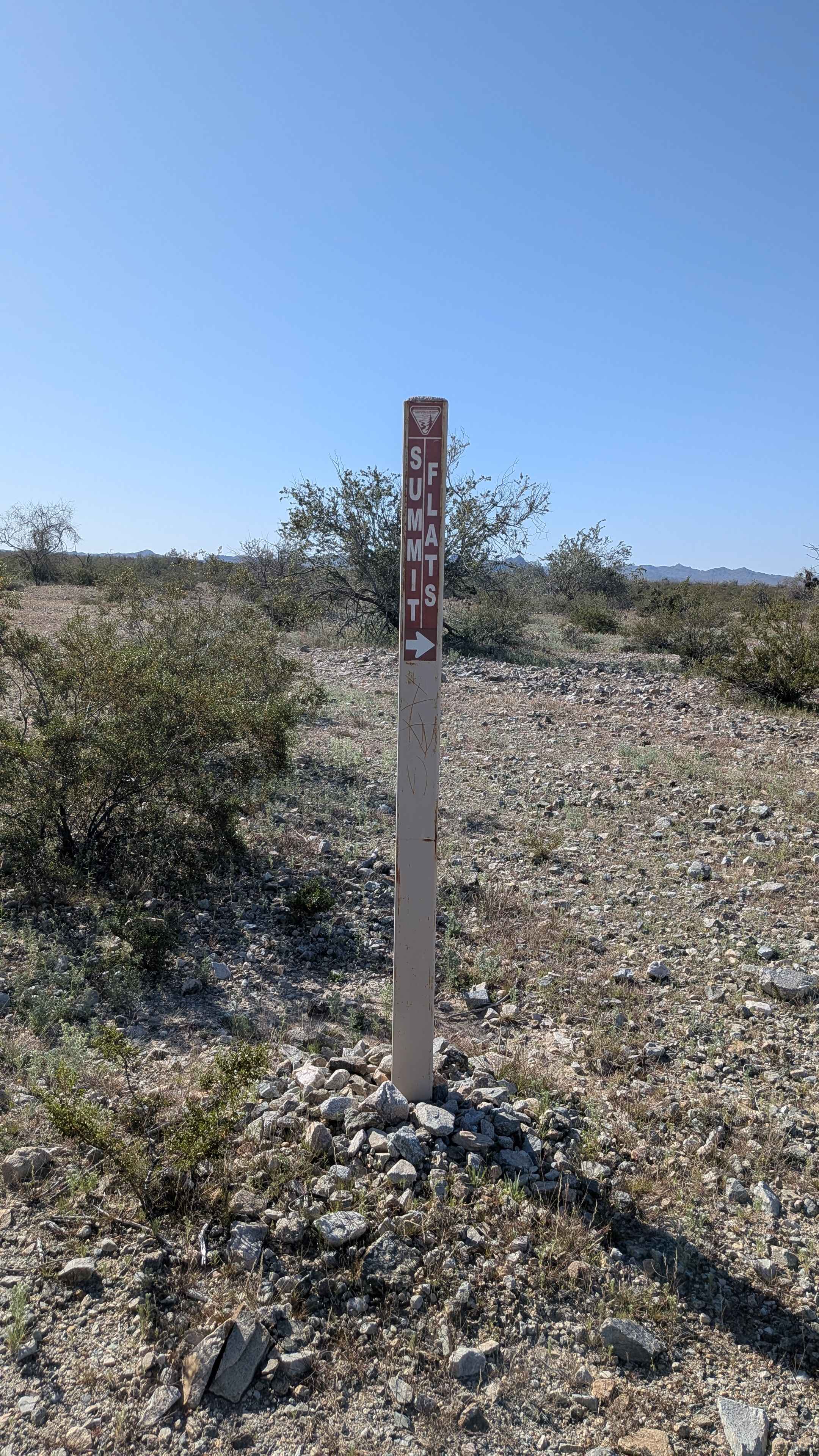
Summit Flats 280
Total Miles
2.1
Technical Rating
Best Time
Winter, Fall, Spring
Trail Type
Full-Width Road
Accessible By
Trail Overview
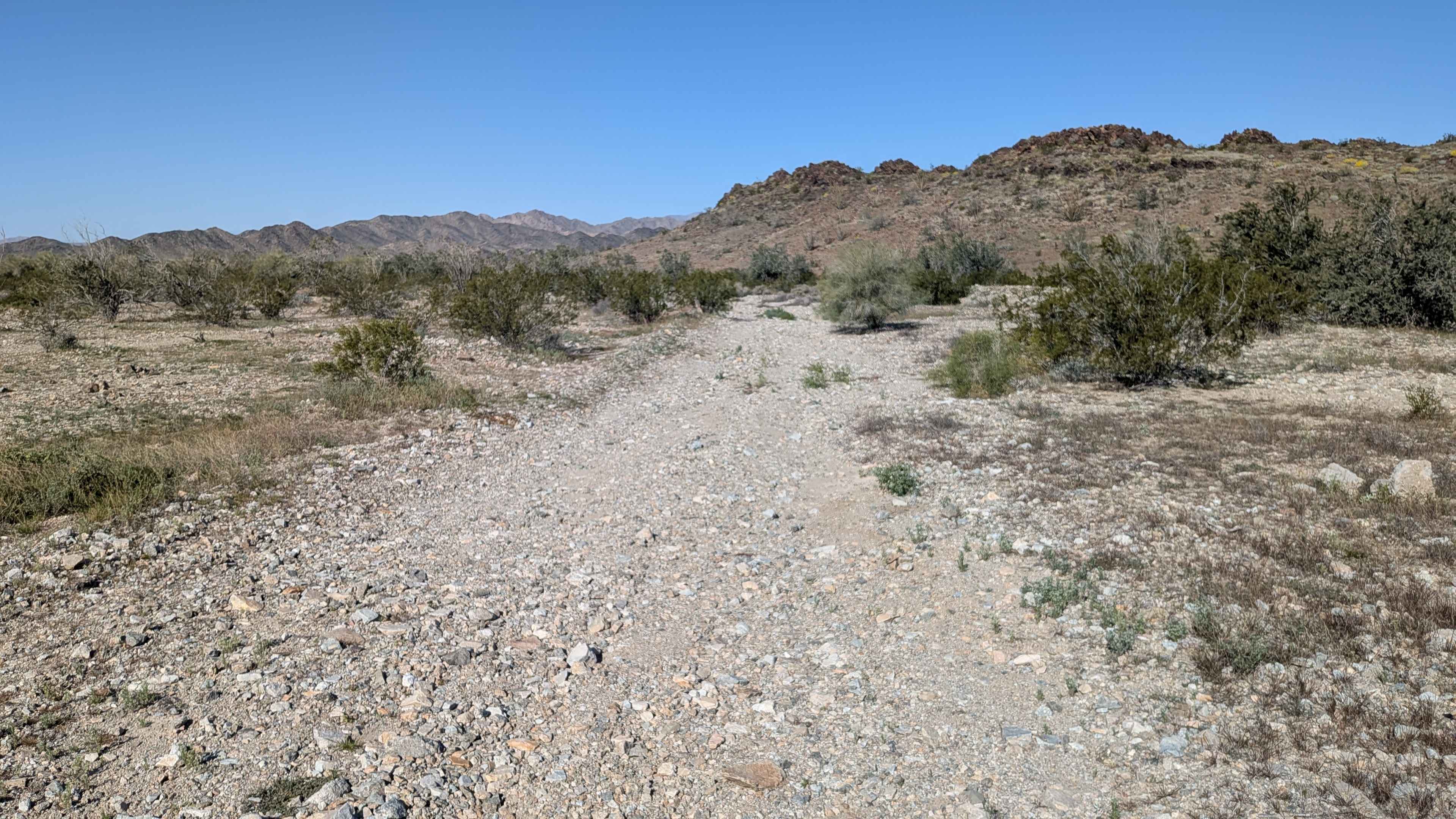
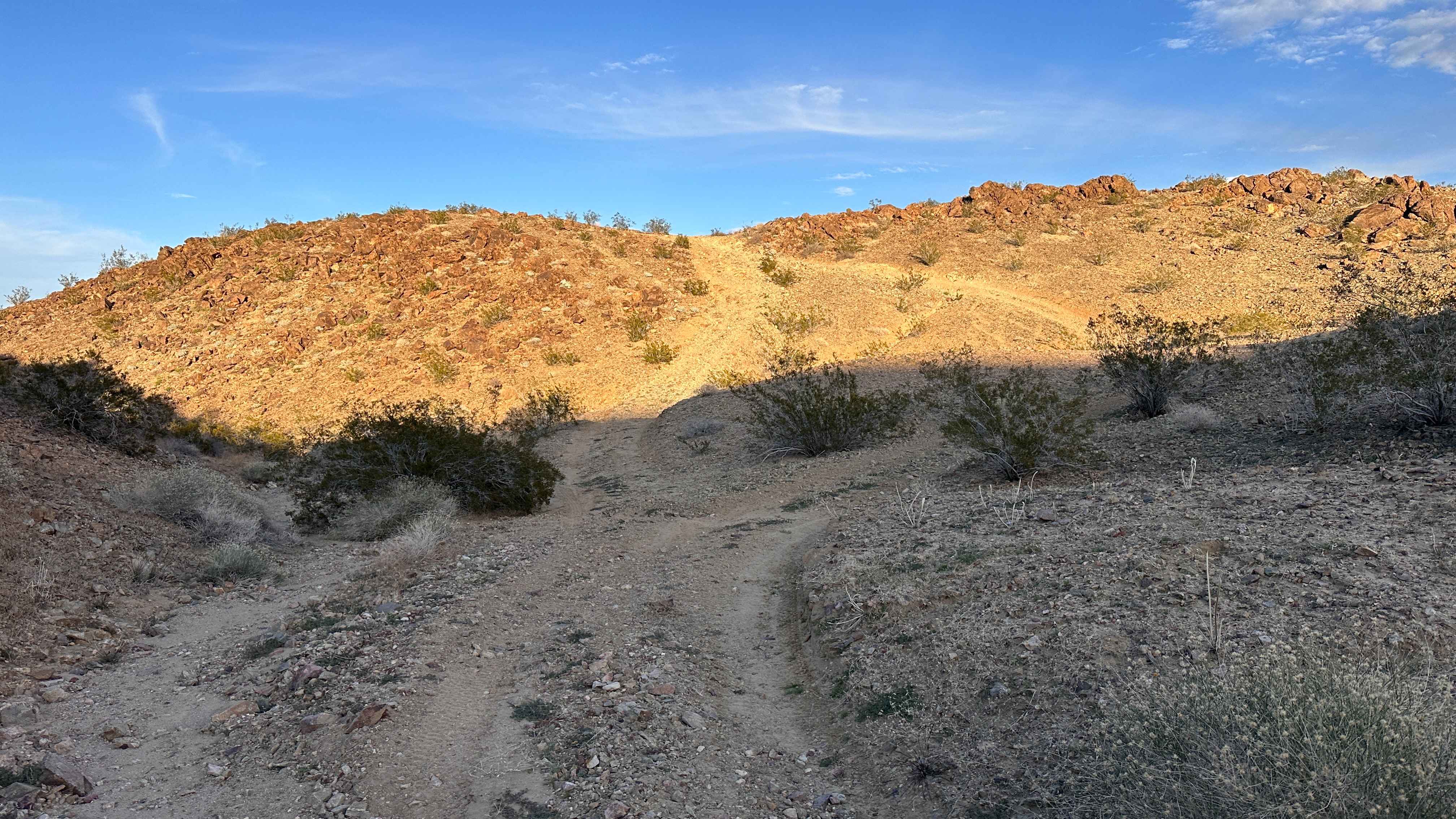
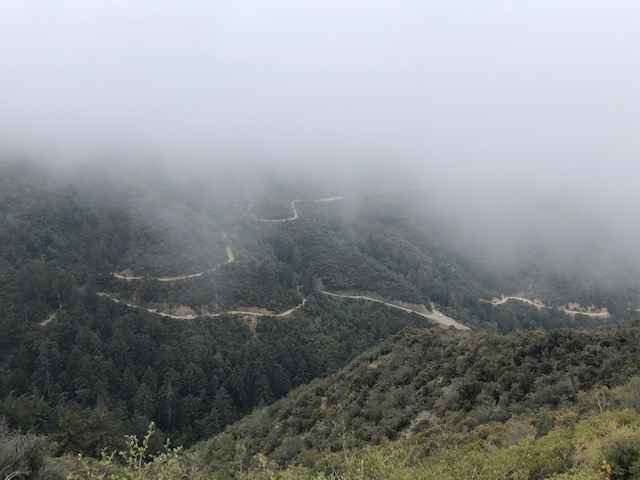
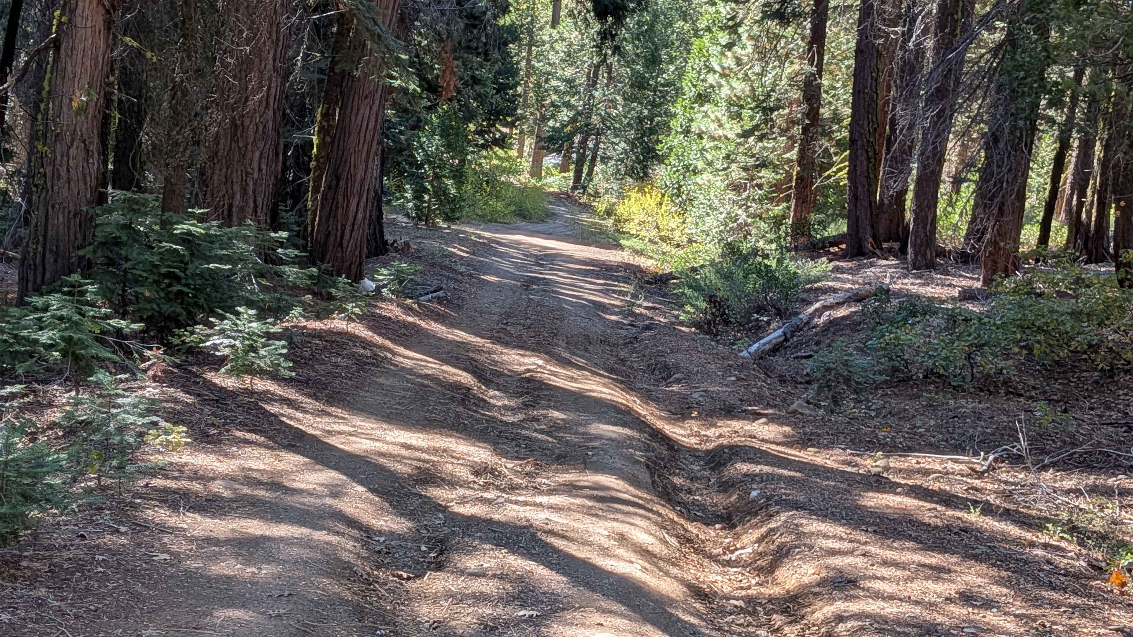
This relatively flat trail connects Summit Road with Gas Line Road 281, running from west to east. The trail is one vehicle wide and mostly sandy. You'll encounter some washboards and whoops along the way. The route offers nice views of the surrounding Orocopia Mountains as well as the Joshua Tree National Park mountains to the north. The trail is lined with lots of vegetation, including desert ironwood and cheese bushes, desert flowers, and the occasional ocotillo bush.
Photos of Summit Flats 280
Difficulty
This is an easy trail with minimal challenges. The sandy surface is straightforward to navigate and the washboards and whoops add some character but nothing technical. The flat terrain and one vehicle width make for simple navigation.
Status Reports
Summit Flats 280 can be accessed by the following ride types:
- High-Clearance 4x4
- SUV
- SxS (60")
- ATV (50")
- Dirt Bike
Summit Flats 280 Map
Popular Trails
Copper Canyon
Maple Spring Road
The onX Offroad Difference
onX Offroad combines trail photos, descriptions, difficulty ratings, width restrictions, seasonality, and more in a user-friendly interface. Available on all devices, with offline access and full compatibility with CarPlay and Android Auto. Discover what you’re missing today!