Sugarloaf - FS 9S08
Total Miles
4.2
Technical Rating
Best Time
Spring, Summer, Fall
Trail Type
Full-Width Road
Accessible By
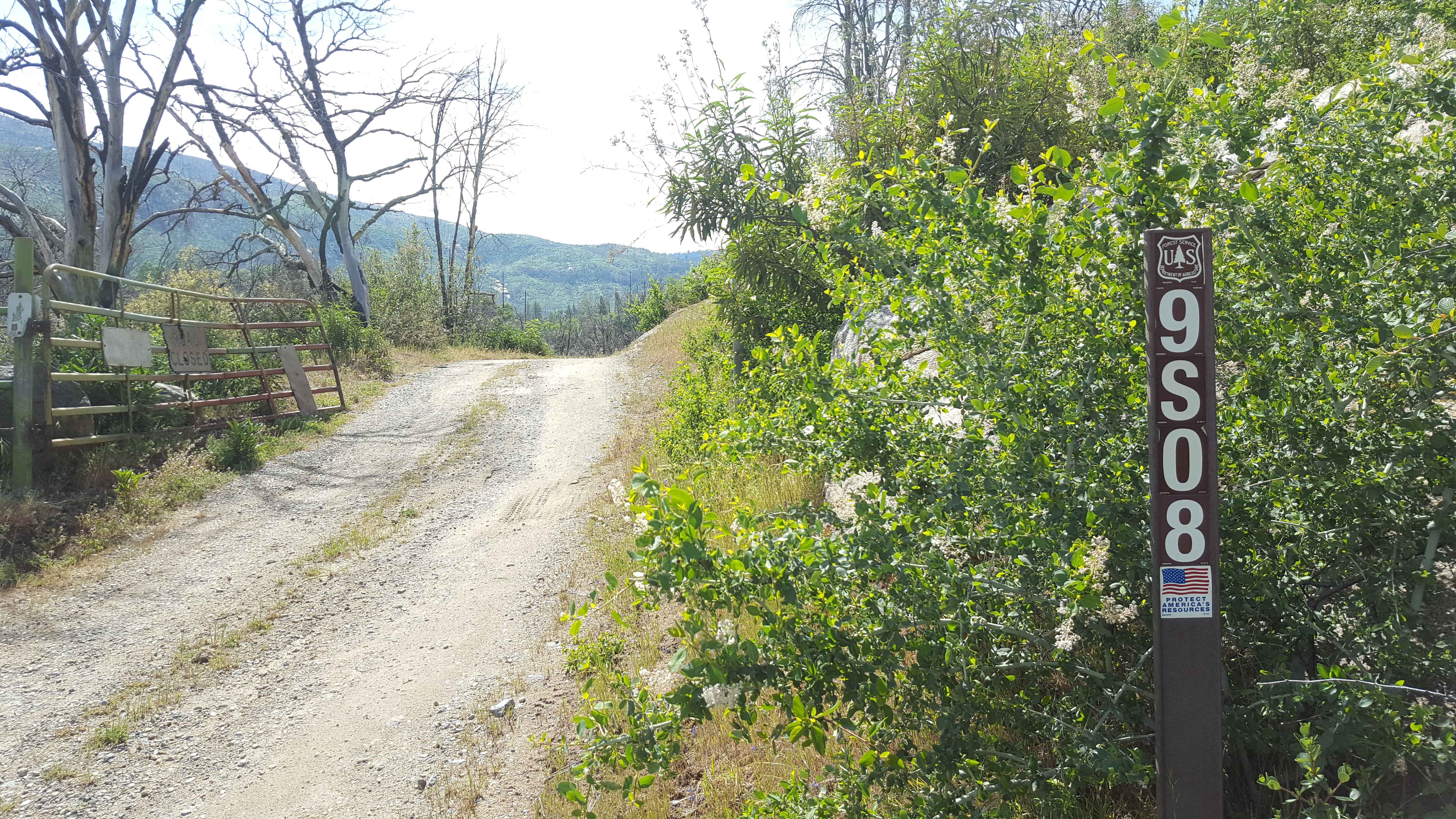
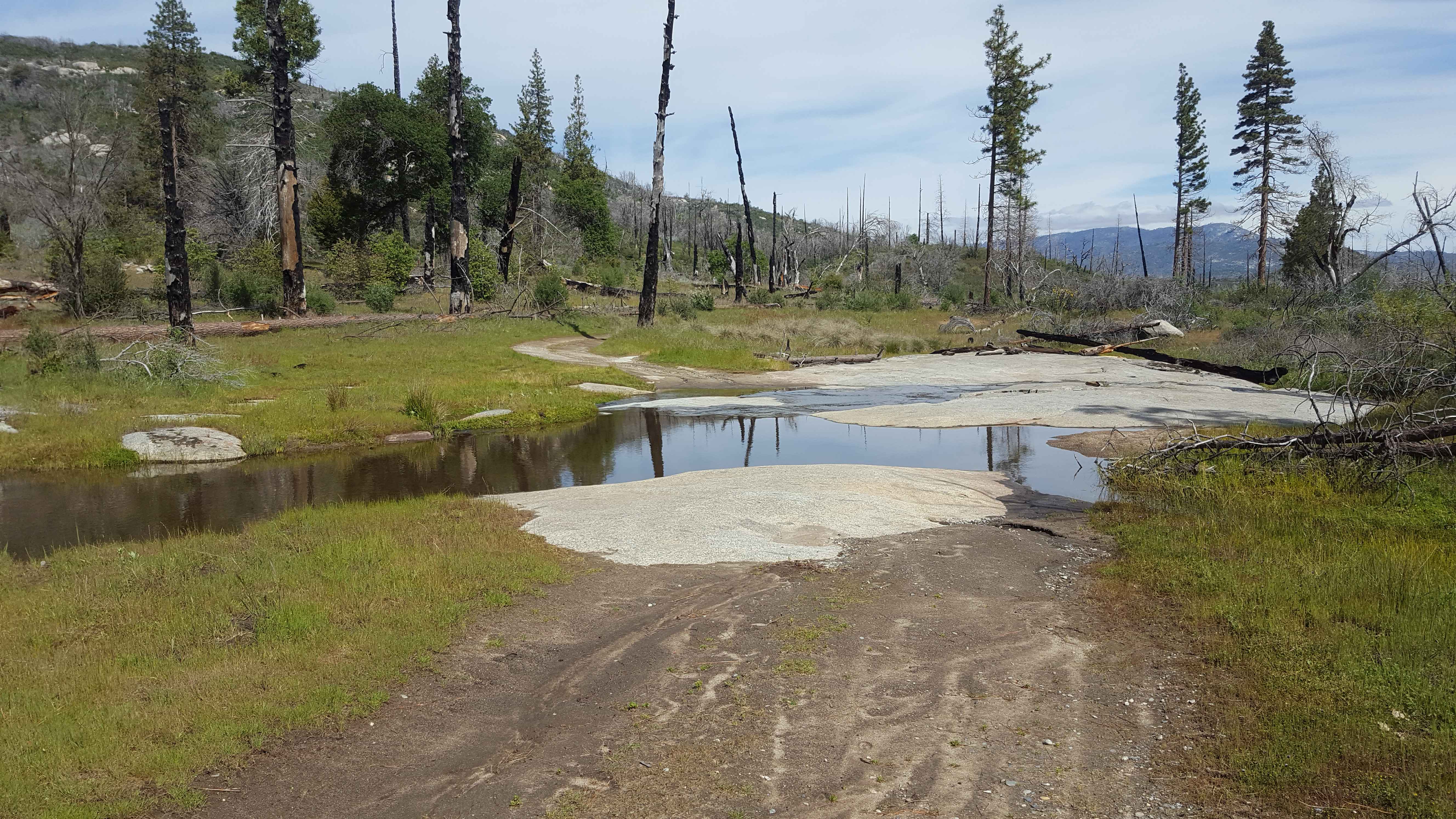
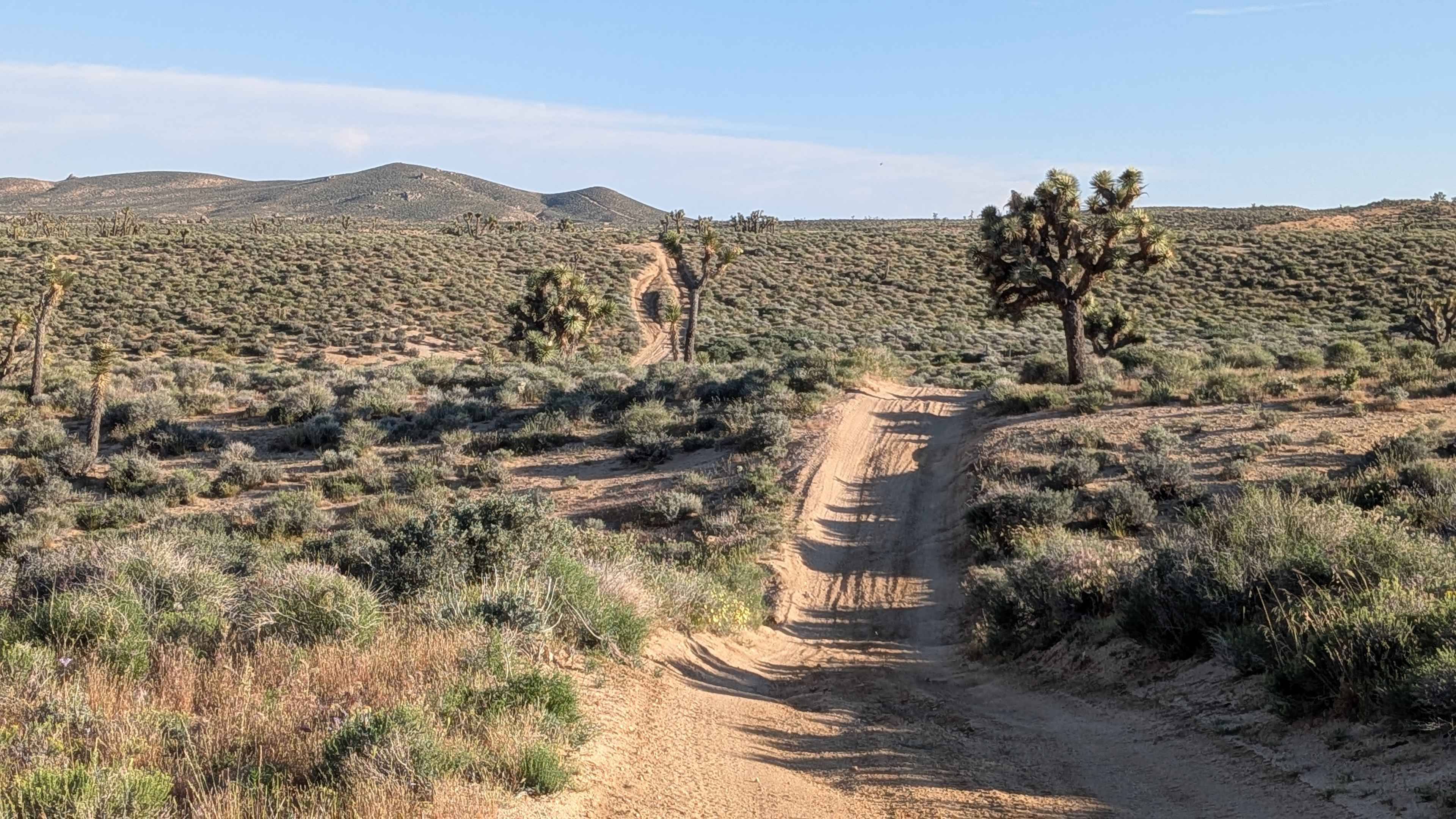
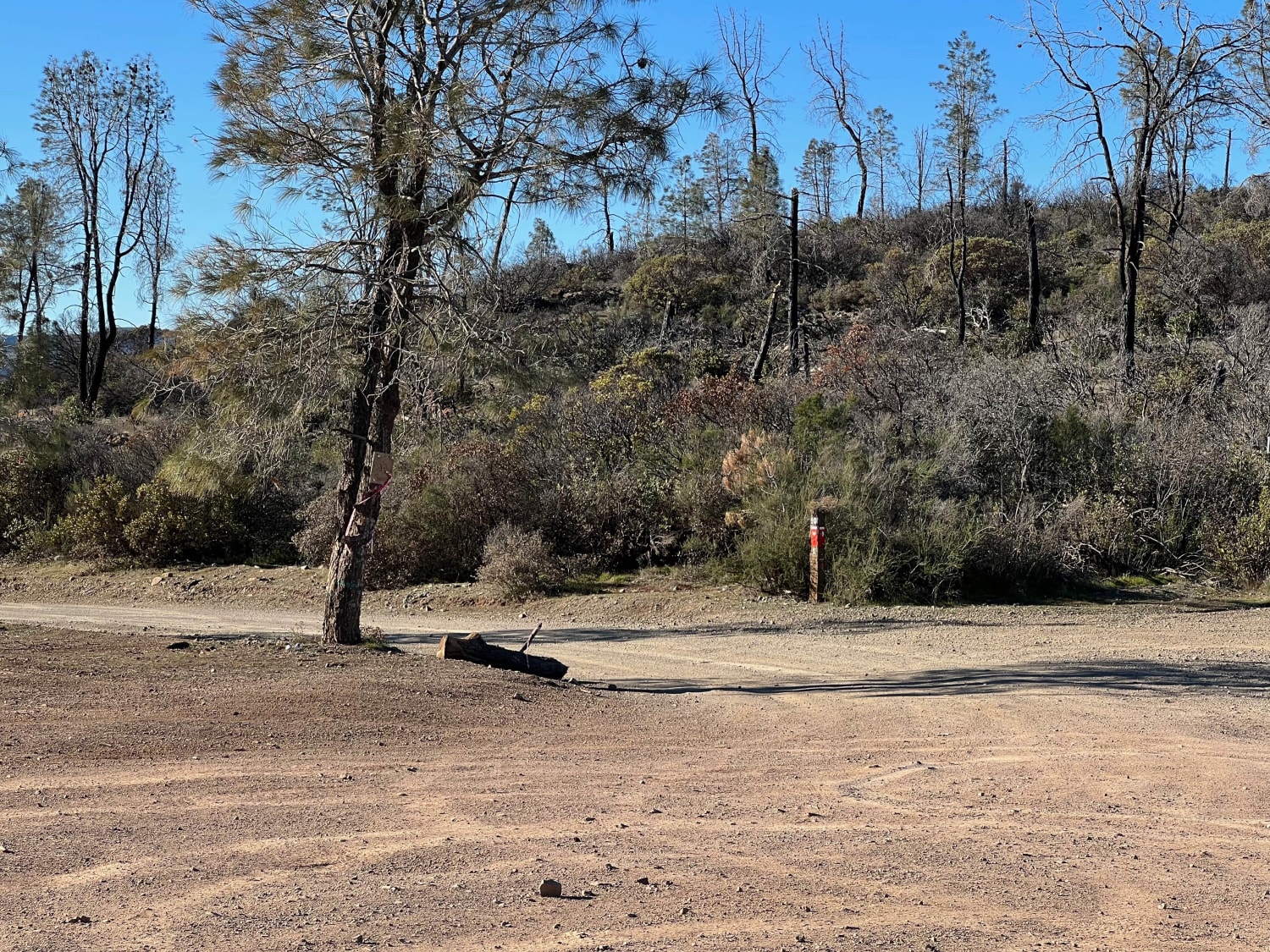
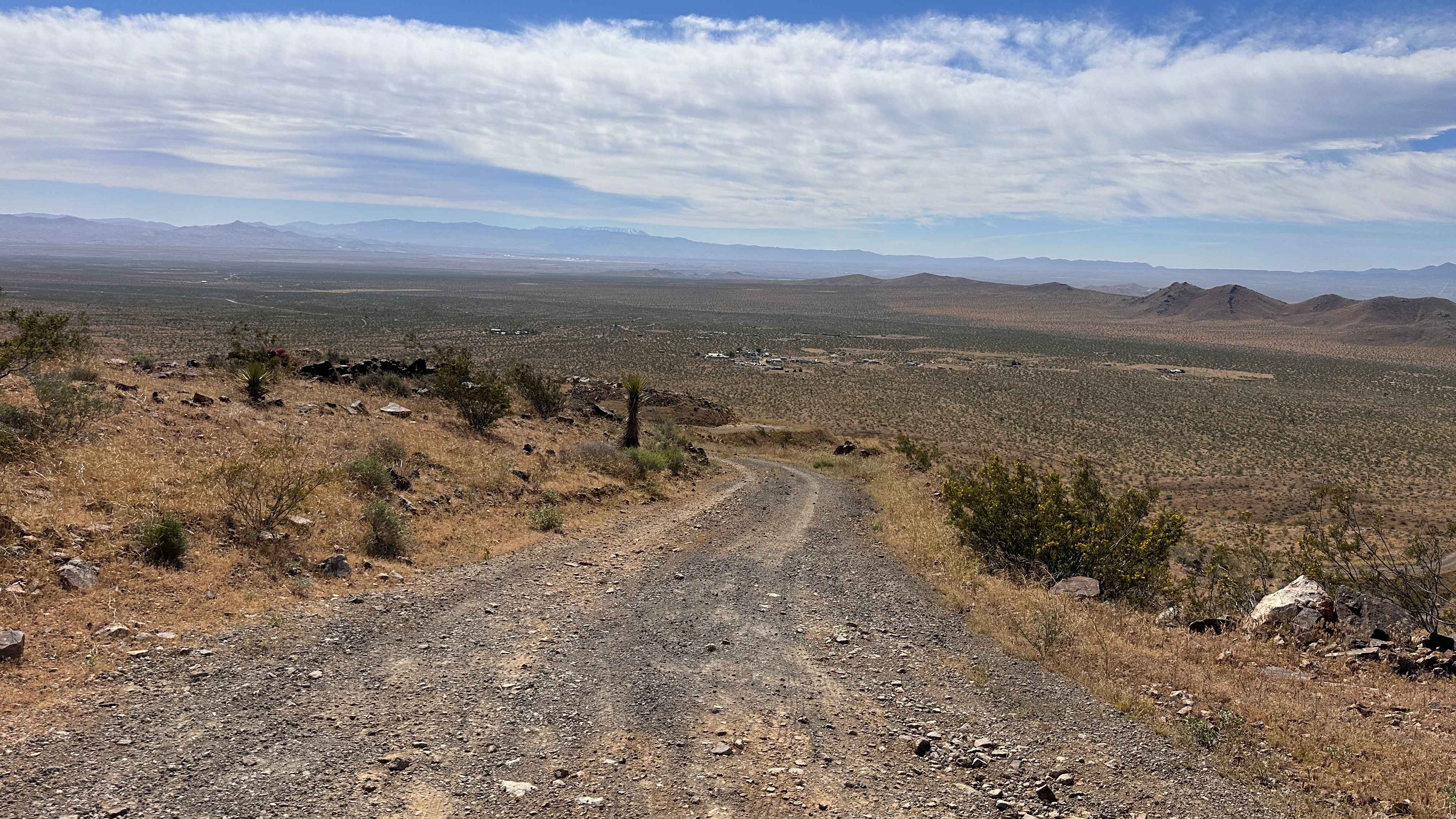
Trail Overview
This is a point-to-point single vehicle-width trail in the Jose Creek Basin area. The surface is primarily packed dirt with short stretches of gravel. There can also be shallow ruts and mud holes frequently along the route. This trail will pass through both a section of forest with fire damage and an area where cattle are grazing. The USFS maintains several gates along the route, which will be locked annually from 1/16 to 2/29. Weak/limited cellular phone service in the area and no restrooms or potable water sources along the trail. Tread Lightly and Pack-It-Out.
Photos of Sugarloaf - FS 9S08
Difficulty
Trail surface is primarily dirt with some stretches of gravel. Ruts are running along the edges in places, but they are generally shallow and can be avoided. Unless the trail is saturated and muddy, vehicles with moderate clearance should be able to manage the full route with 2WD.
Sugarloaf - FS 9S08 can be accessed by the following ride types:
- High-Clearance 4x4
- SUV
- SxS (60")
- ATV (50")
- Dirt Bike
Sugarloaf - FS 9S08 Map
Popular Trails
Bartlett Springs Road
Radio Summit
The onX Offroad Difference
onX Offroad combines trail photos, descriptions, difficulty ratings, width restrictions, seasonality, and more in a user-friendly interface. Available on all devices, with offline access and full compatibility with CarPlay and Android Auto. Discover what you’re missing today!