Sugarloaf
Total Miles
4.3
Technical Rating
Best Time
Fall, Summer, Spring
Trail Type
Full-Width Road
Accessible By
Trail Overview
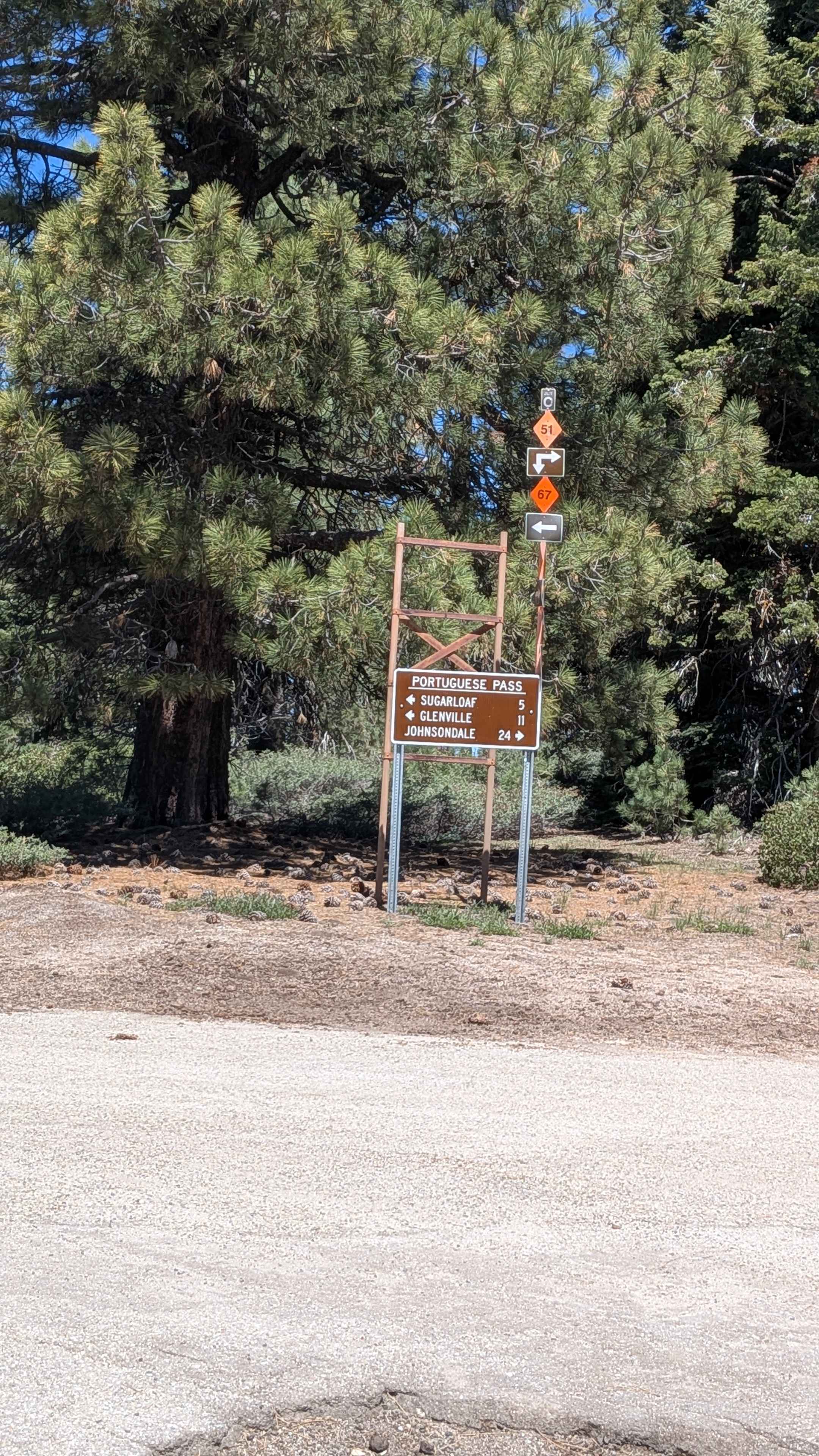
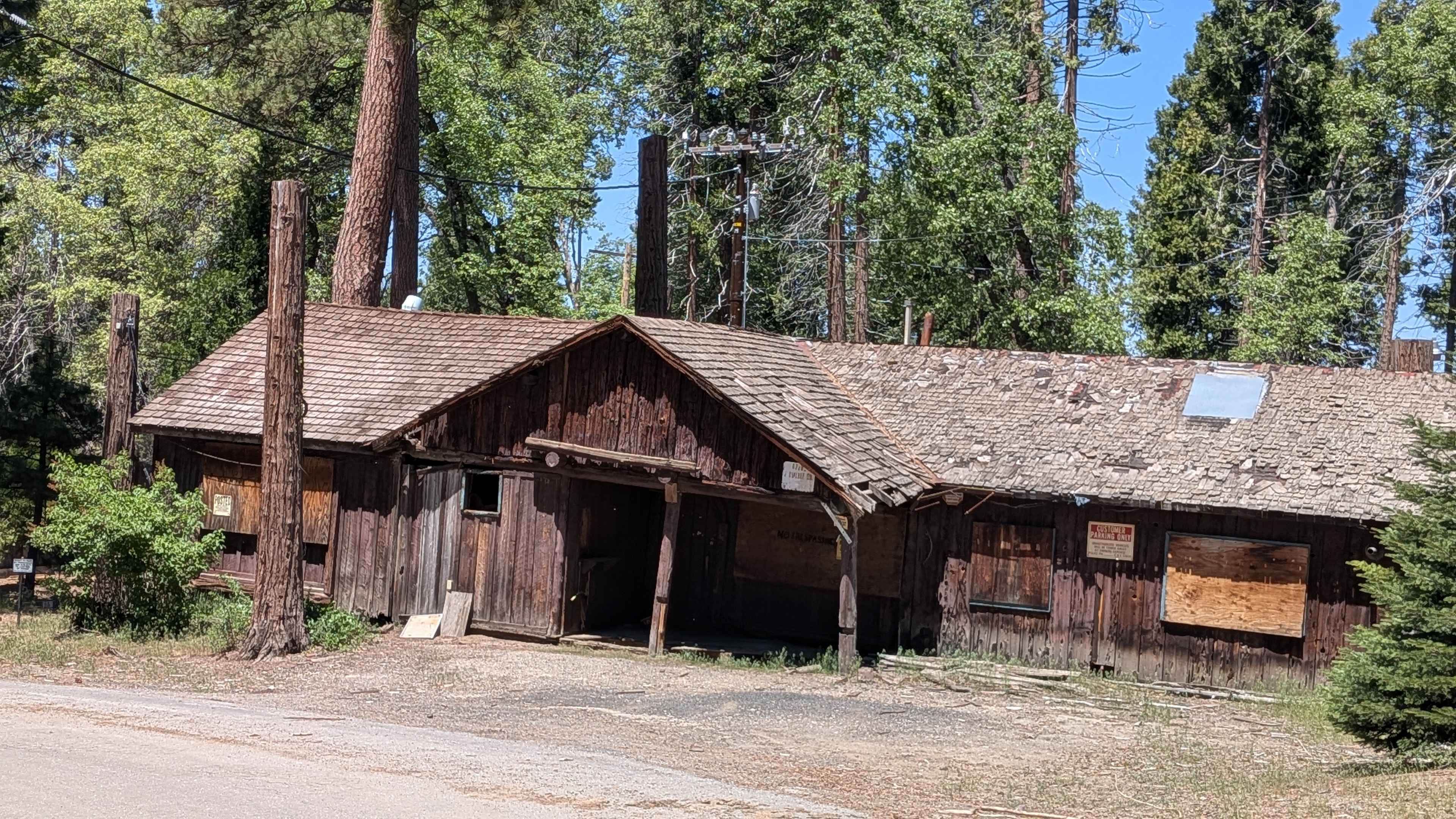
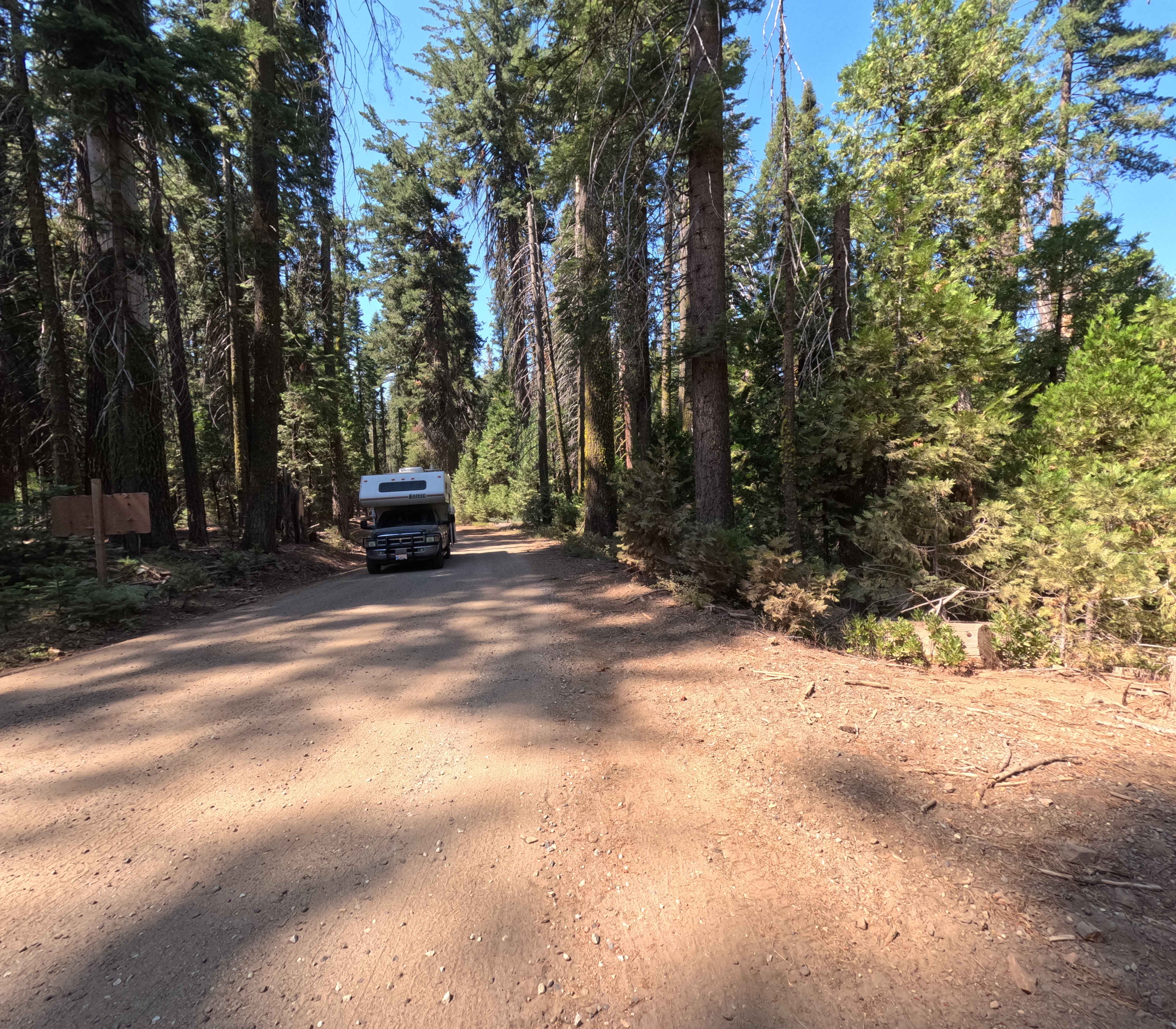
Sugarloaf departs from the village of Sugarloaf and climbs over 1,400 feet in just under 4 miles up to Portuguese Pass and Portuguese Meadows Road, serving as a key artery providing access to numerous trails in the surrounding network. The trail winds along the canyon with beautiful views of the forested area below throughout the climb. Running streams are visible along the trail, adding a pleasant natural element to the drive. Remnants of the 2016 Cedar Fire are visible throughout. The road closes in winter, and conditions should be verified before visiting in the shoulder seasons.
Photos of Sugarloaf
Difficulty
Sugarloaf rates a 1 despite the significant 1,400-plus foot elevation gain over just under 4 miles. The shelf road character and sections that narrow to one vehicle wide warrant steady attention, particularly when encountering oncoming traffic. No significant technical obstacles are present under dry conditions. The road closes in winter.
Status Reports
Sugarloaf can be accessed by the following ride types:
- High-Clearance 4x4
- SUV
- SxS (60")
- ATV (50")
- Dirt Bike
Sugarloaf Map
Popular Trails
Beasore - A Spur - FS 5s007a

Sledgehammer
Saratoga Springs
Middle Sky Ranch Road - FS 6S010
The onX Offroad Difference
onX Offroad combines trail photos, descriptions, difficulty ratings, width restrictions, seasonality, and more in a user-friendly interface. Available on all devices, with offline access and full compatibility with CarPlay and Android Auto. Discover what you’re missing today!