Strawberry Peak - FS 4N39
Total Miles
5.7
Technical Rating
Best Time
Fall, Summer
Trail Type
Full-Width Road
Accessible By
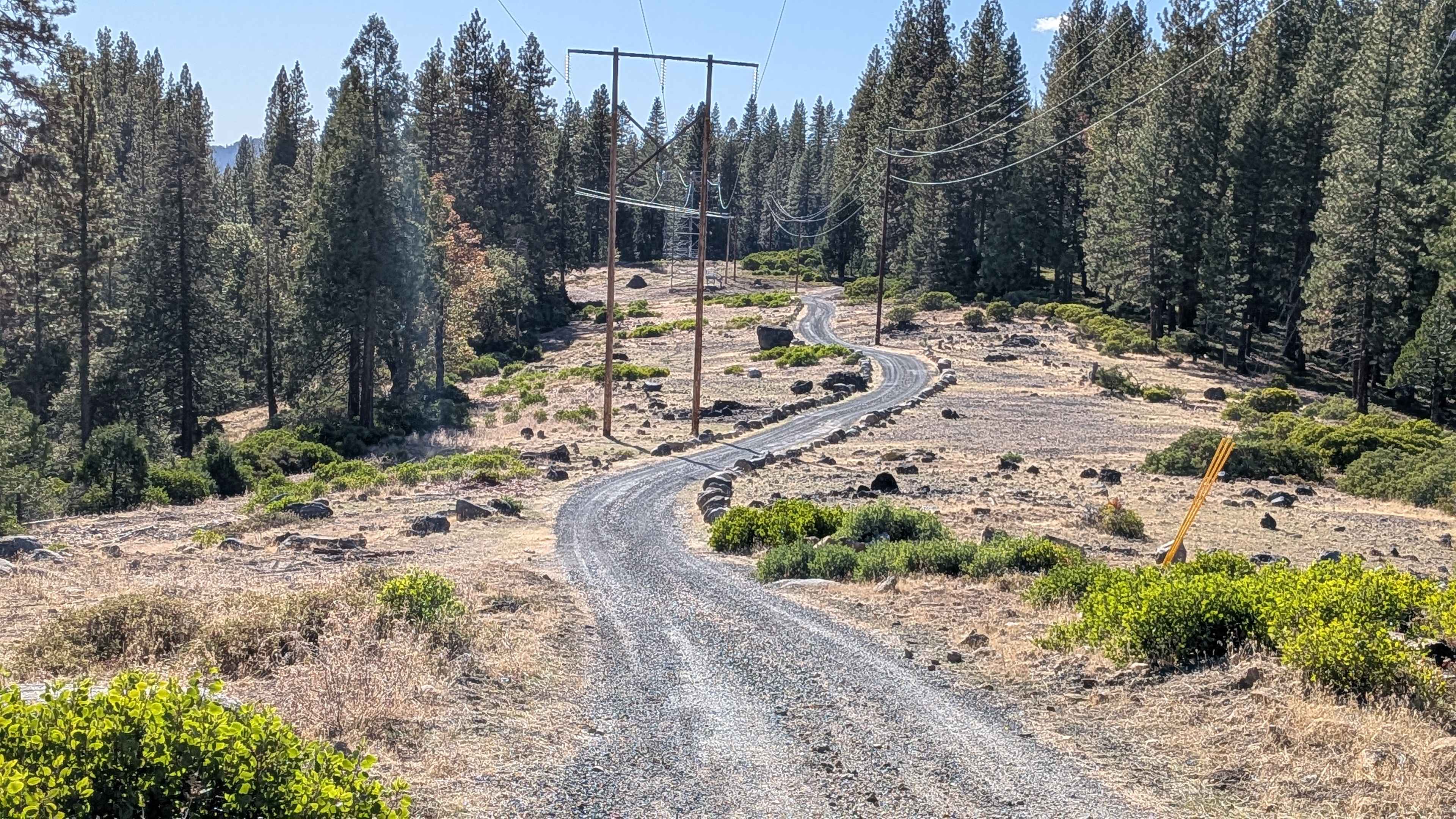
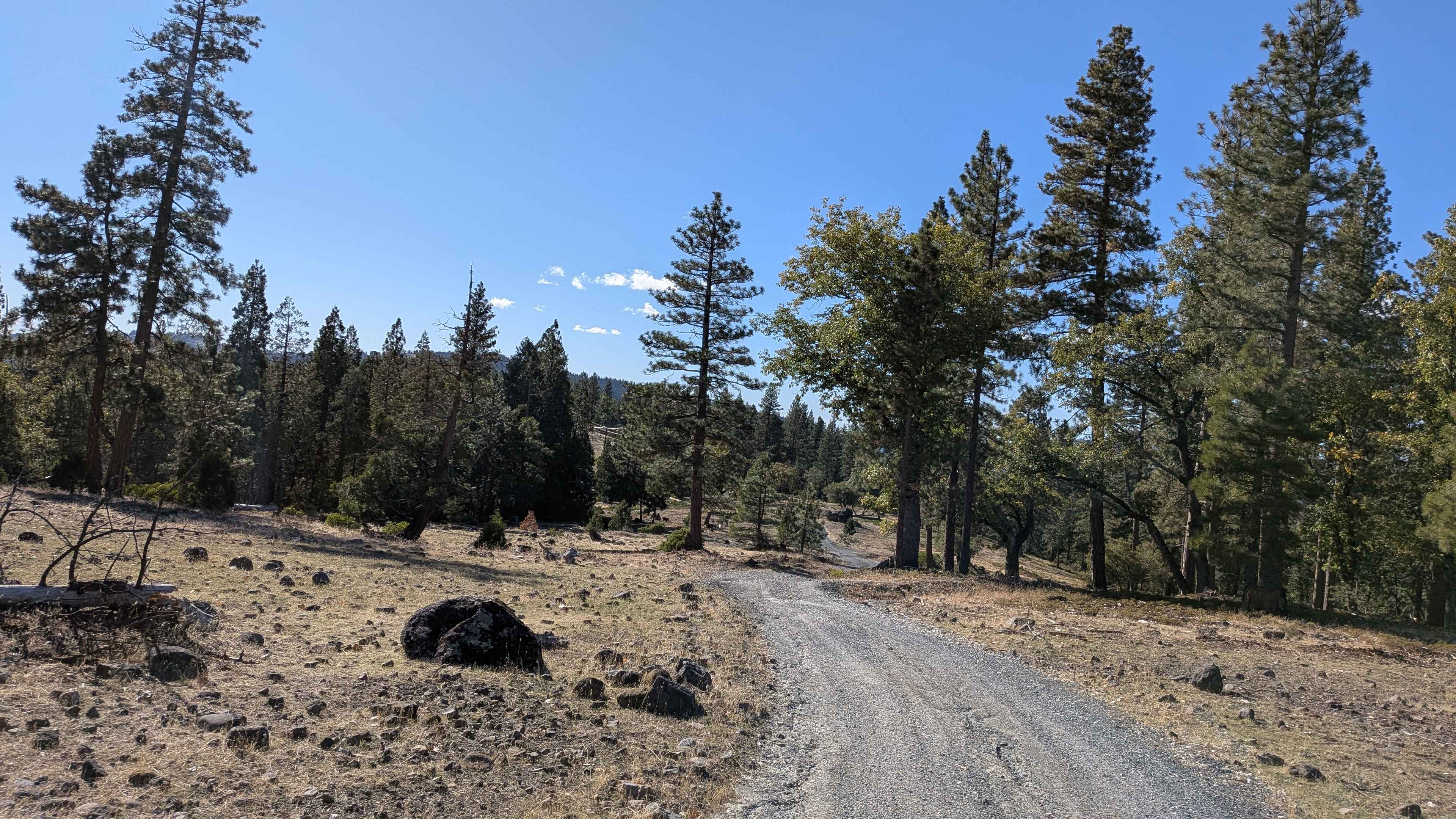
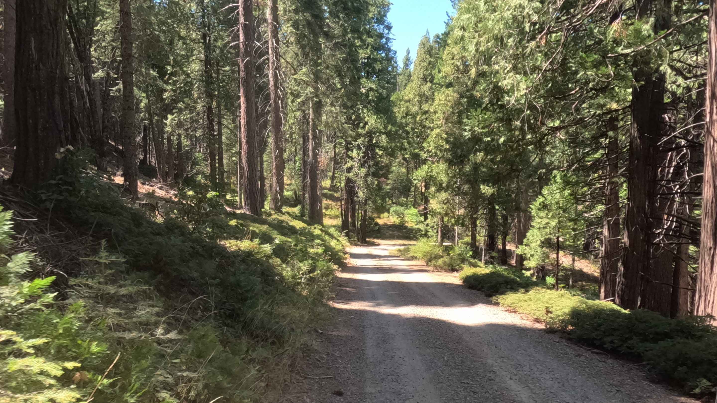
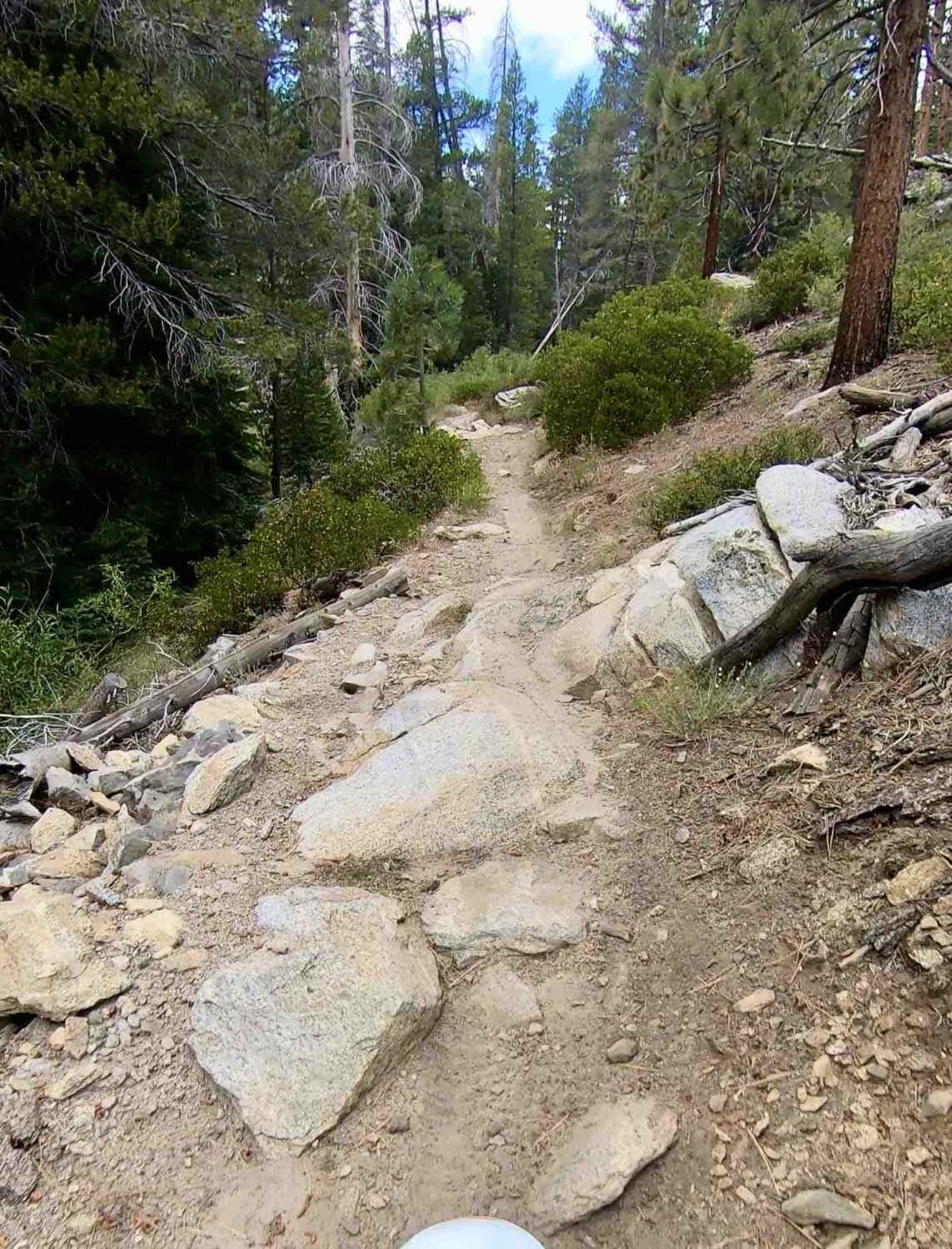
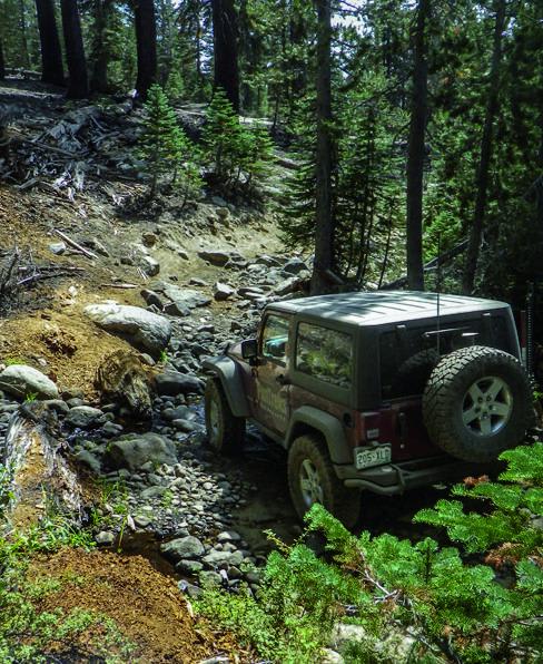
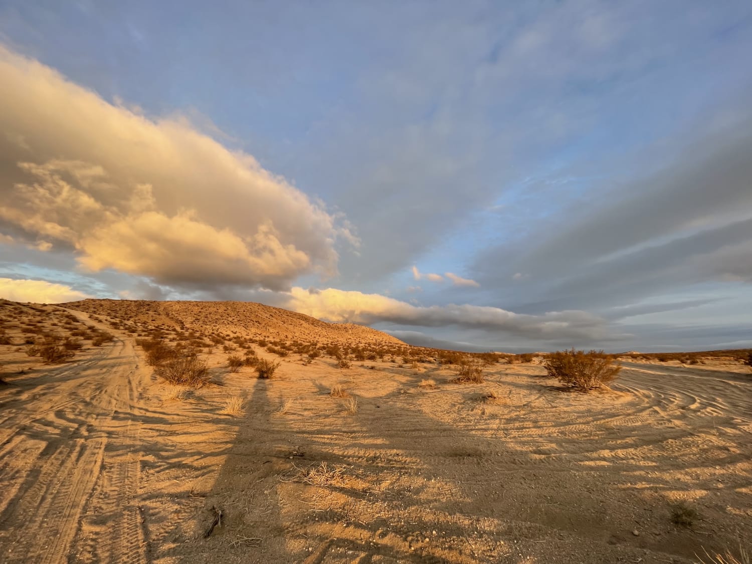
Trail Overview
Strawberry Peak (FS 4N39) is a 5.9-mile point-to-point trail running east to west, climbing just under 200 feet and dropping almost 1,200 feet. The trail starts just off Highway 108 on the east end and ends at the junction of Forest Service Roads 4N14 and 4N86 on the west side. It travels primarily on compact dirt, one to two vehicles wide, winding through mature pine forests and areas of new growth. While running along the shelf and ledge sections, you are rewarded with scenic views of adjacent ridge lines and valleys appear throughout, with Strawberry Peak rising nearby. The trail is used for deer hunting, camping, scenic drives, and access by the power company. A locked gate appears on the west end, but an alternate bypass allows vehicle access.
Photos of Strawberry Peak - FS 4N39
Difficulty
While most of the trail is smooth, there are sections with shallow ruts and drainage humps that raise the difficulty to a 2. The trail runs along some shelf and ledge areas, so care is needed on narrow stretches. Minor bumps and uneven surfaces may challenge low-clearance vehicles, particularly in wet conditions.
History
The "Philadelphia Ditch" is a historical mining water system located near the town of Strawberry in Tuolumne County, California, far from Mammoth Lakes. Its history is tied to the local Gold Rush and the later development of hydroelectric power, not to the Owens Valley Aqueduct. The ditch was originally constructed by the Stockton Gravel Mining Company to bring water to a placer mining area known as the "Philadelphia Diggins". The mining operation used water to wash gold-bearing gravel from the hillsides. The system consisted of both a ditch and a series of wooden flumes to navigate the rough, rocky terrain. Photos from 1916 document various sections of the ditch, including timber boxes for elevation drops, turnout gates for water control, and flumes built on rock footings. Hydroelectric power: The Stockton Gravel Mining Company sold the Philadelphia Ditch to the Sierra and San Francisco Power Company in 1912. The ditch became part of a larger hydroelectric project that included building the Strawberry Dam on the South Fork of the Stanislaus River. This infrastructure was designed to supply water for local use and generate power for markets as far away as San Francisco.
Status Reports
Strawberry Peak - FS 4N39 can be accessed by the following ride types:
- High-Clearance 4x4
- SUV
- SxS (60")
- ATV (50")
- Dirt Bike
Strawberry Peak - FS 4N39 Map
Popular Trails
Lower Speckerman Fire - FS 5S017
Bedrock Mountain Loop
The onX Offroad Difference
onX Offroad combines trail photos, descriptions, difficulty ratings, width restrictions, seasonality, and more in a user-friendly interface. Available on all devices, with offline access and full compatibility with CarPlay and Android Auto. Discover what you’re missing today!