South Fork Tamarack - FS 9s069
Total Miles
8.0
Technical Rating
Best Time
Summer, Fall
Trail Type
Full-Width Road
Accessible By
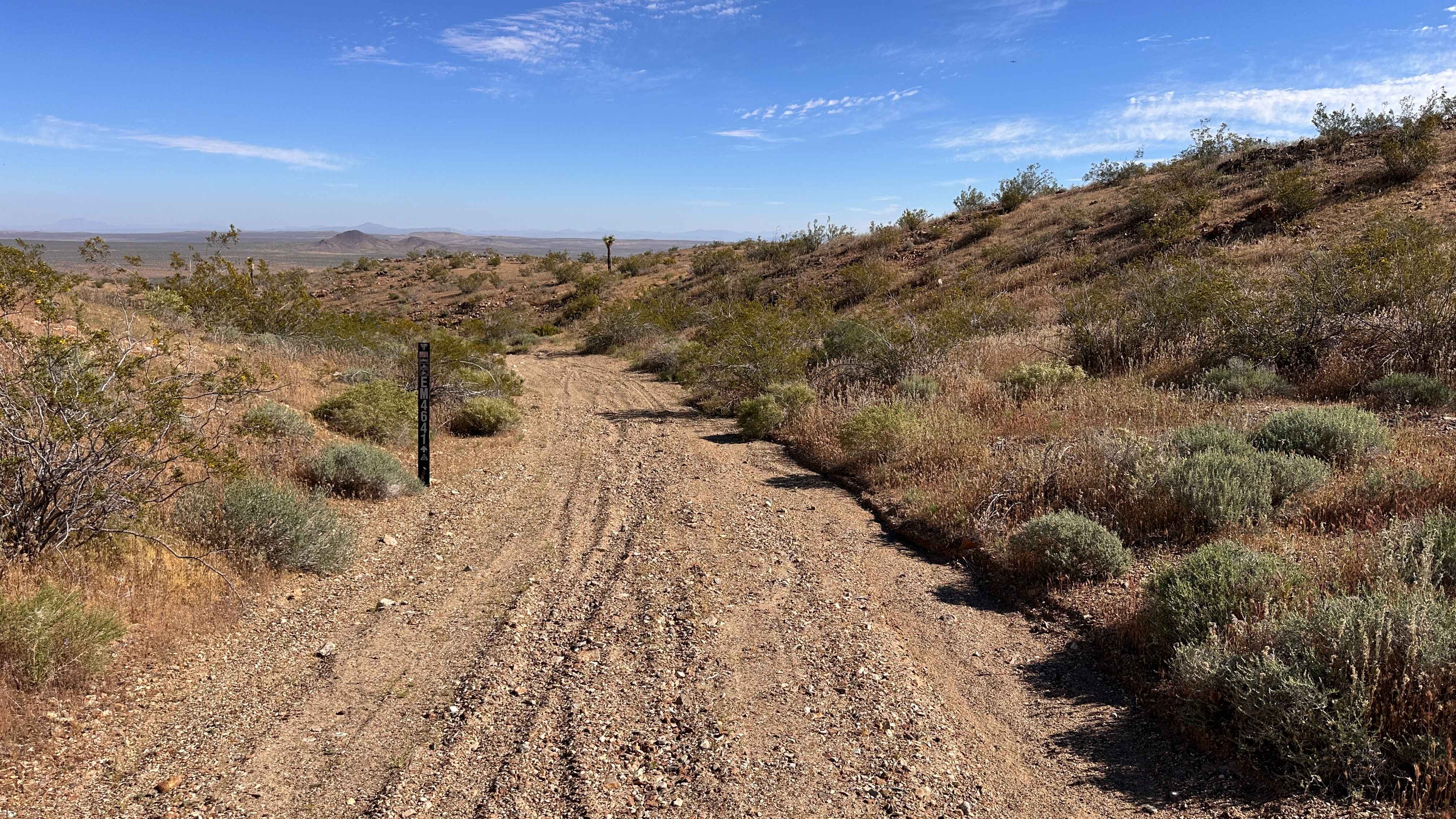
Trail Overview
This 7.9-mile road is a high-elevation artery providing fast, efficient access to the heart of the high-country trail network, including hiking trails accessing the Dinkey Lakes Wilderness. This road connects between CA 168 and FS 9S009 - Rock Creek Road. The road is a wide, smooth two-lane track with a packed dirt and decomposed granite (DG) surface, allowing for moderate speeds. The area was impacted by the 2020 Creek Wildfire, but this section escaped the highest severity, leaving behind a beautiful patchwork of healthy canopy interspersed with hazardous standing snags. The route has a gentle, rolling terrain. It reaches ~8,000' in elevation, so Summer and Fall are the best times to visit.
Photos of South Fork Tamarack - FS 9s069


Difficulty
The wide, smooth track means no 4x4 or high clearance is necessary for transit on this road.
Status Reports
South Fork Tamarack - FS 9s069 can be accessed by the following ride types:
- High-Clearance 4x4
- SUV
South Fork Tamarack - FS 9s069 Map
Popular Trails
Rimrock Trail
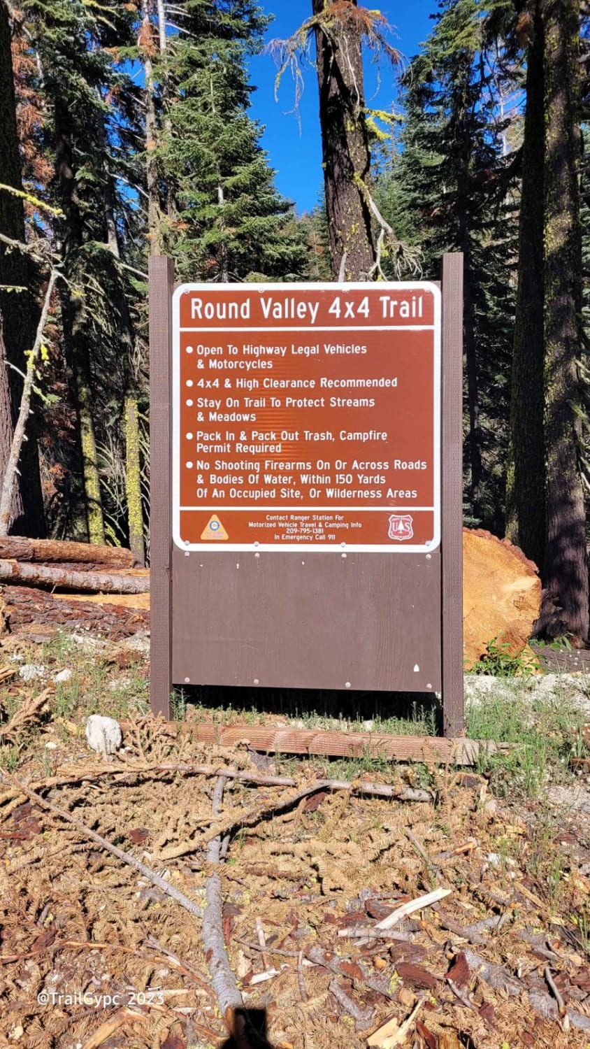
Round Valley 4WD Trail

Grapevine Canyon - FS 4N16

Oil Well Wash
The onX Offroad Difference
onX Offroad combines trail photos, descriptions, difficulty ratings, width restrictions, seasonality, and more in a user-friendly interface. Available on all devices, with offline access and full compatibility with CarPlay and Android Auto. Discover what you’re missing today!