South Big X
Total Miles
17.6
Technical Rating
Best Time
Fall
Trail Type
Full-Width Road
Accessible By
Trail Overview
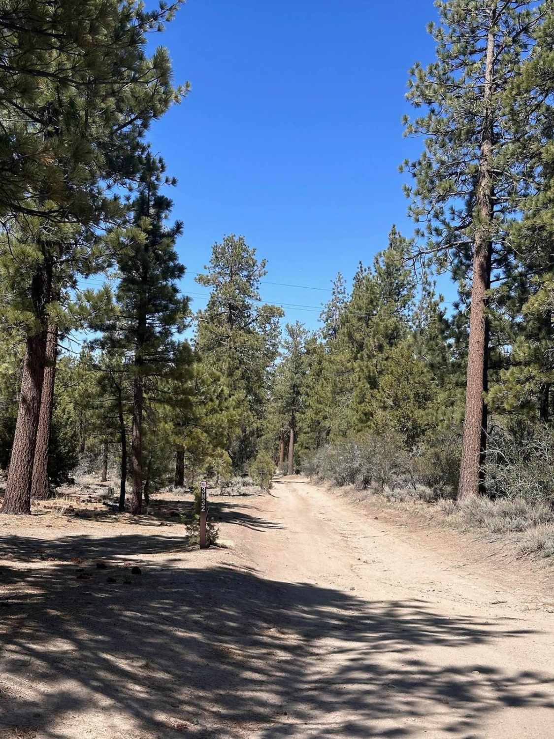
South Big X Road is best run from South to North in the Fall. Begin your day at Apple Hill and grab some Apple Donuts, then head out Forebay Road until you turn left on South Big X. The Trail is double wide in most areas and mostly a dirt road used by hunters. It has a twist when you get to the washed-out Jack Knife Joe Bridge. You will need to drive down into the creek, turn left, and drive the creek that has large rocks and some moderate boulders for about 25 yards (under where the bridge used to be), then up a steep bank with large rocks and roots on the other side. 95% of this trail is a 1 or 2 in difficulty, but this section is more like a 3 or 4. Makes the day more exciting, but less skilled drivers may need to have a spotter, and high clearance 4x4 vehicles are a must in order to cross. The trail eventually turns into a very pot-holed road and ends at Wentworth Springs Road, where you can air up. There are many smaller trails along that way that are fun to explore.
Photos of South Big X
Difficulty
Water crossing at a washed-out bridge includes a steep descent, driving in a creek with 1 to 2 feet of running water with large rocks and moderate boulders, then a steep ascent out with more rocks and roots.
South Big X can be accessed by the following ride types:
- High-Clearance 4x4
- SUV
South Big X Map
Popular Trails
Hepburn Mine - 3N32

Borrego Mountain Wash
The onX Offroad Difference
onX Offroad combines trail photos, descriptions, difficulty ratings, width restrictions, seasonality, and more in a user-friendly interface. Available on all devices, with offline access and full compatibility with CarPlay and Android Auto. Discover what you’re missing today!