Pumice Canyon - FS 3S41
Total Miles
5.8
Technical Rating
Best Time
Fall, Summer
Trail Type
Full-Width Road
Accessible By
Trail Overview
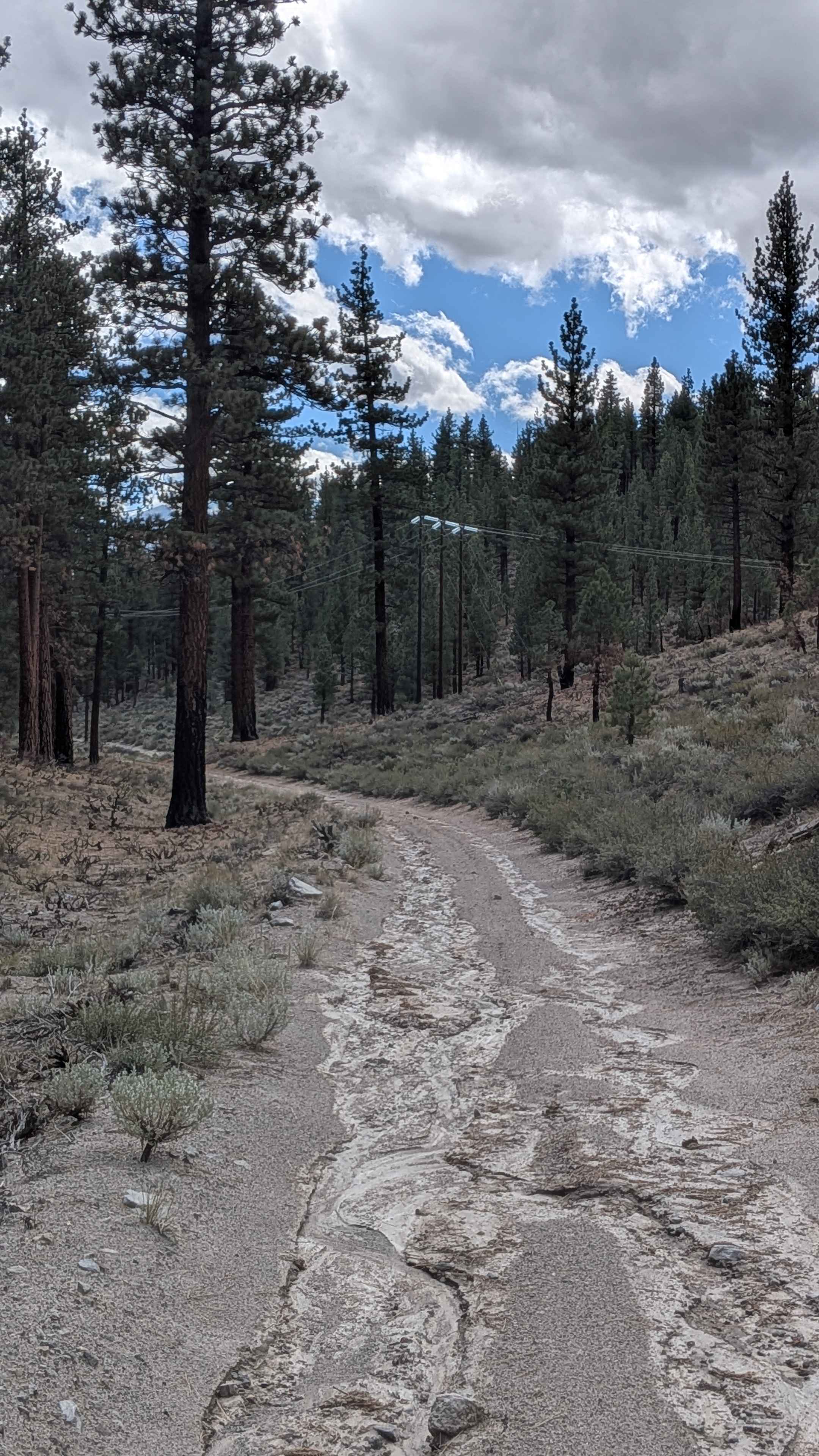
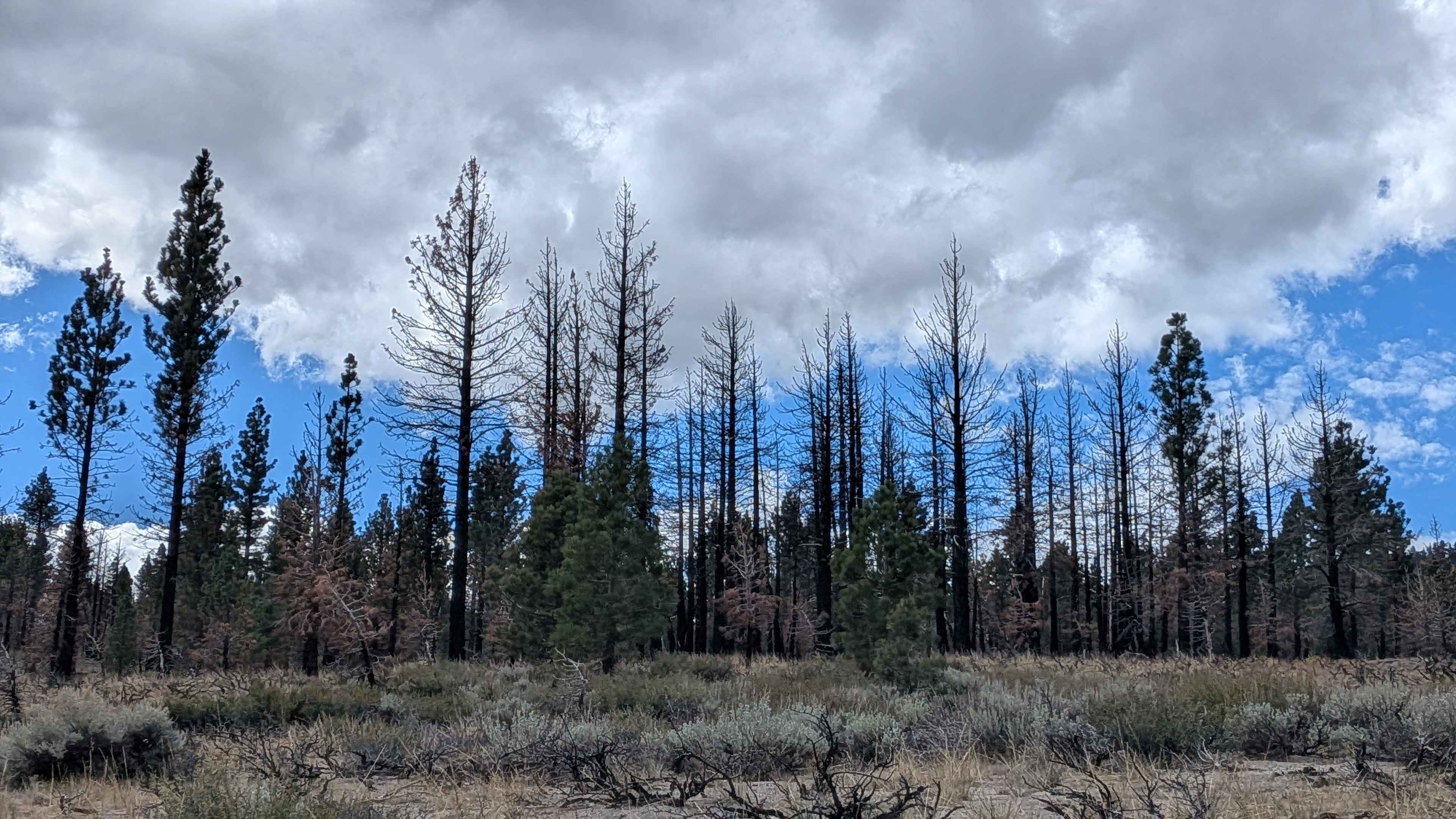
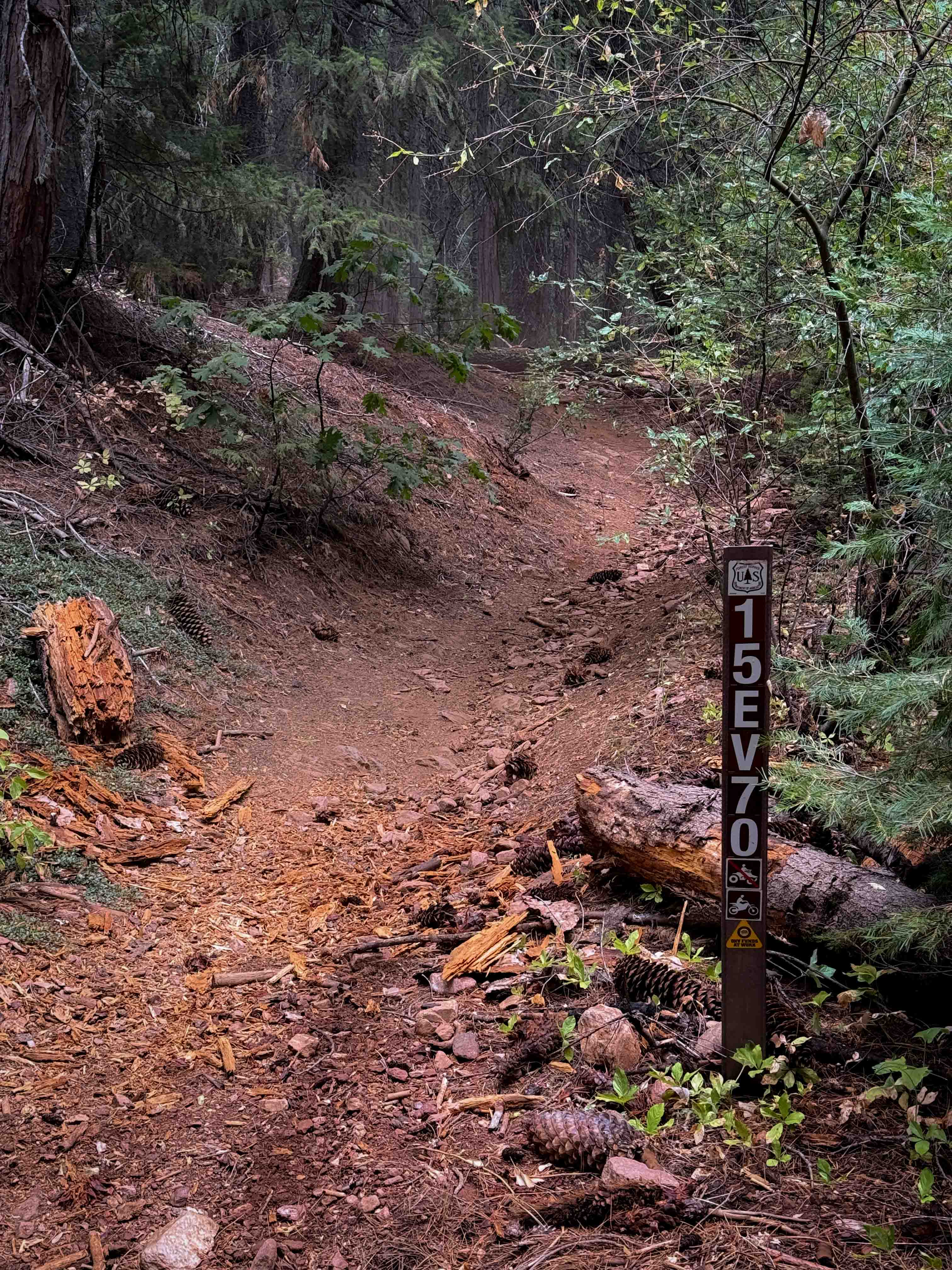
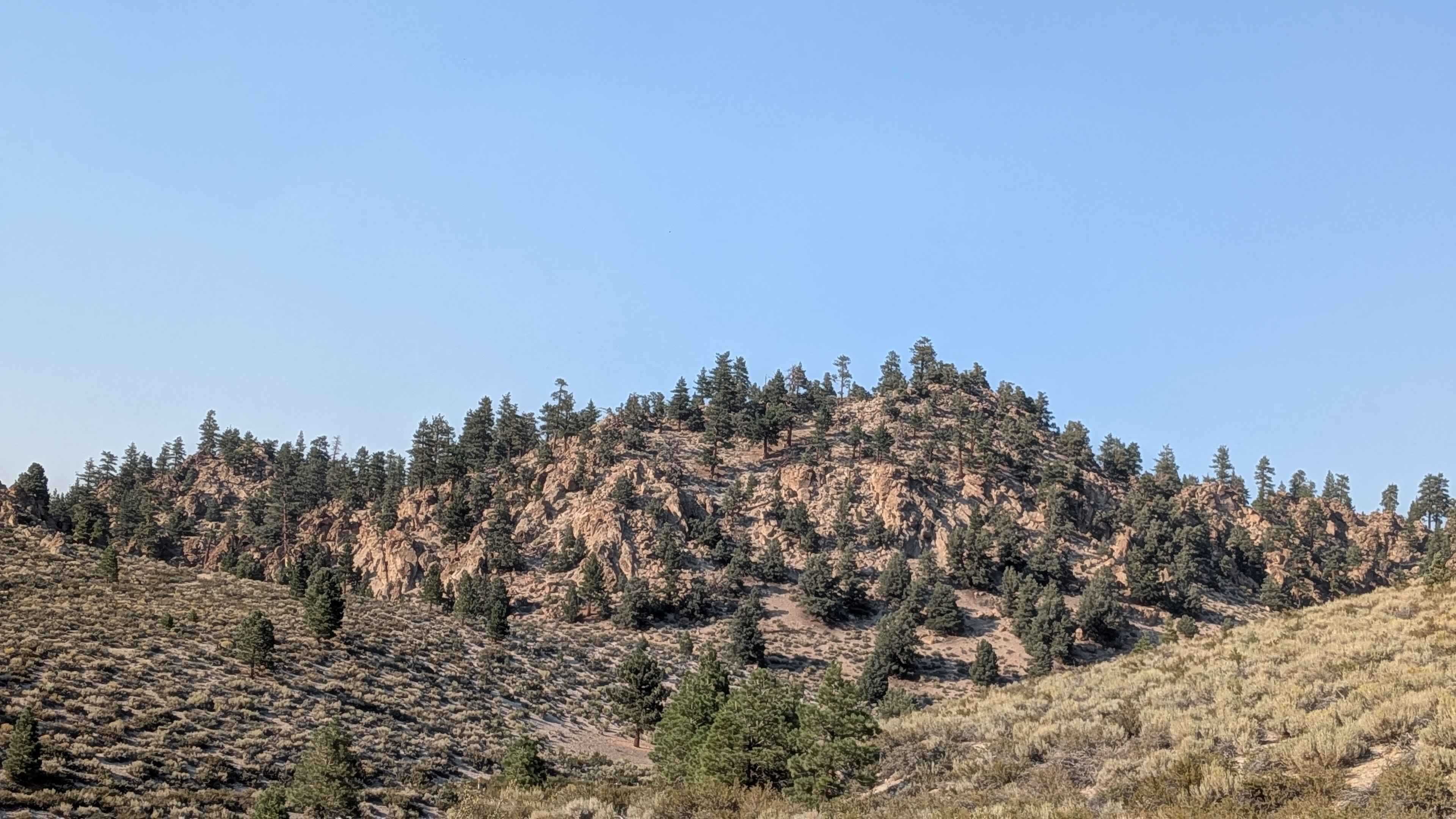
The beginning follows power lines with one steep hill that cuts between the power line posts, featuring very deep articulating whoops and roots on the climb that test suspension flex and wheel placement. The trail is narrow at 1 to 1.5 vehicles wide, with very narrow overgrown brush that could give you some Sierra pinstripes as vegetation scrapes along your doors and fenders. The route cuts through pine forests with the trail surface being sandy and very dusty, with lots of deep ruts carved by heavy side-by-side traffic, creating challenging channels to navigate. Just before mile 1, coming from the west, you climb a hill and are rewarded with great views of the Eastern Sierra mountains, Glass Mountains, White Mountains, as well as Lake Crowley and the valley and forest below spreading out beneath you. This viewpoint section is a shelf road that's very sandy with some big rocks embedded in the surface, requiring careful line selection while managing the exposure. The trail includes some off-camber sections and cliff shelf roads where part of the route runs along shelf roads with some very steep drop-offs of several hundred feet, demanding confident driving and respect for the exposure. Some washboards appear in sections, creating vibration and requiring speed management to maintain vehicle control and comfort. At mile 3.5, the trail leaves the shelf road and heads for the interior, entering a large meadow with evidence of a previous forest fire visible in the burned tree stands and recovering vegetation. At mile 4, as you enter the meadow, there's a long section of ruts due to water runoff that has carved deep channels across the flatter terrain.
Photos of Pumice Canyon - FS 3S41
Difficulty
This trail has a difficult rating (4) based on the steep hill with very deep articulating whoops and roots at the beginning, shelf roads with very steep drop-offs and sandy surfaces with big rocks, lots of deep ruts from side-by-side traffic throughout, off-camber sections requiring precise balance, narrow 1 to 1.5 vehicle width with overgrowth, long section of water runoff ruts in the meadow, washboards, and the demanding combination of over 500 feet of climbing and over 1,000 feet of descent across 6 miles. The primary challenges include navigating the articulating whoops and roots on the steep power line hill without losing traction or momentum, confidently managing the exposed shelf roads with steep drop-offs while dealing with sandy surfaces and large rocks, carefully threading through deep side-by-side ruts without high-centering, maintaining control through off-camber sections without sliding toward cliff edges, and handling the narrow overgrown sections without damage, making high clearance and 4x4 highly recommended for safe passage.
Status Reports
Pumice Canyon - FS 3S41 can be accessed by the following ride types:
- High-Clearance 4x4
- SUV
- SxS (60")
- ATV (50")
- Dirt Bike
Pumice Canyon - FS 3S41 Map
Popular Trails

Pole Line South
The onX Offroad Difference
onX Offroad combines trail photos, descriptions, difficulty ratings, width restrictions, seasonality, and more in a user-friendly interface. Available on all devices, with offline access and full compatibility with CarPlay and Android Auto. Discover what you’re missing today!