Mesquite Canyon South
Total Miles
6.0
Technical Rating
Best Time
Fall, Summer, Spring
Trail Type
Full-Width Road
Accessible By
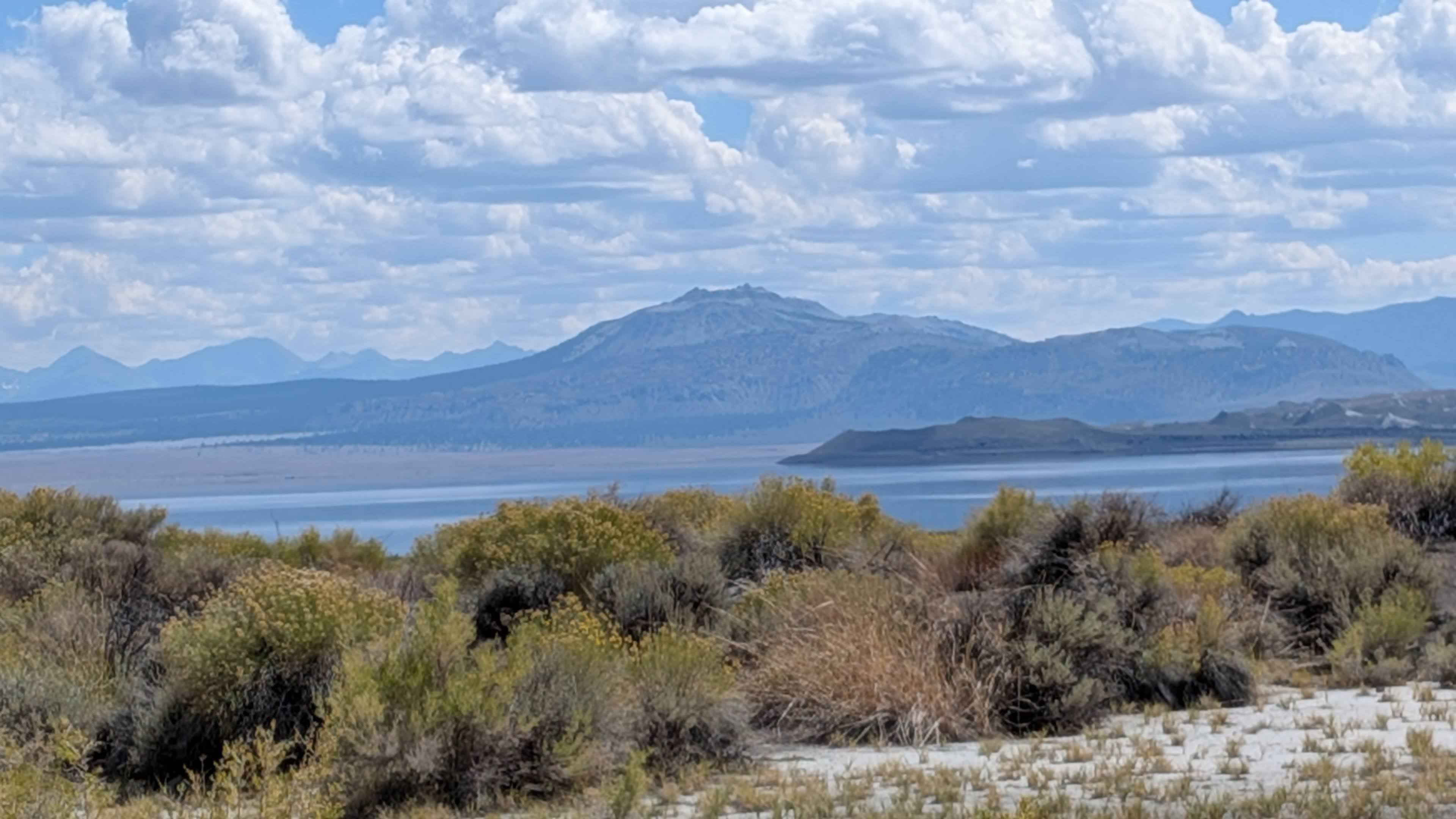
Trail Overview
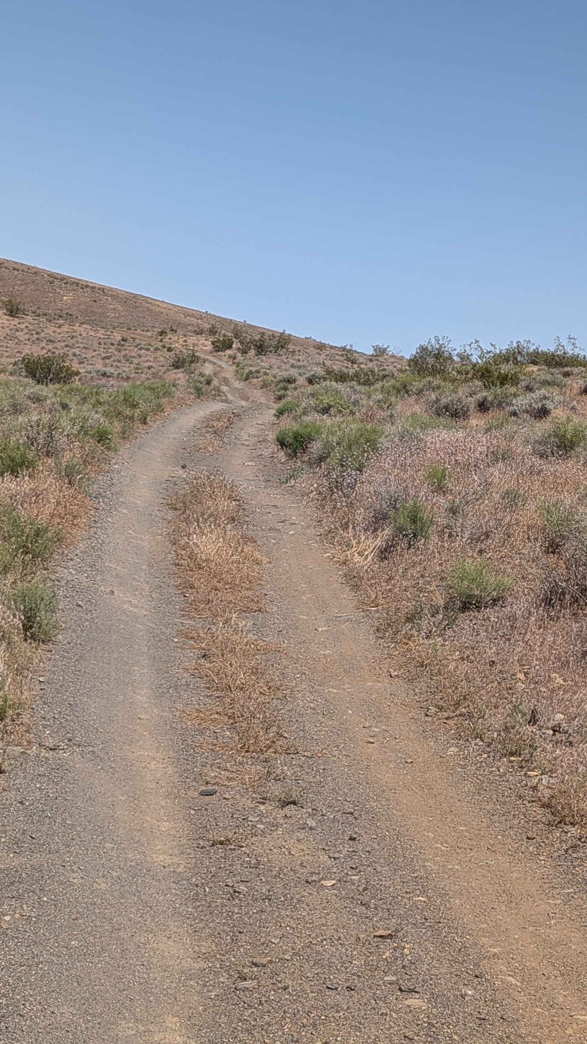
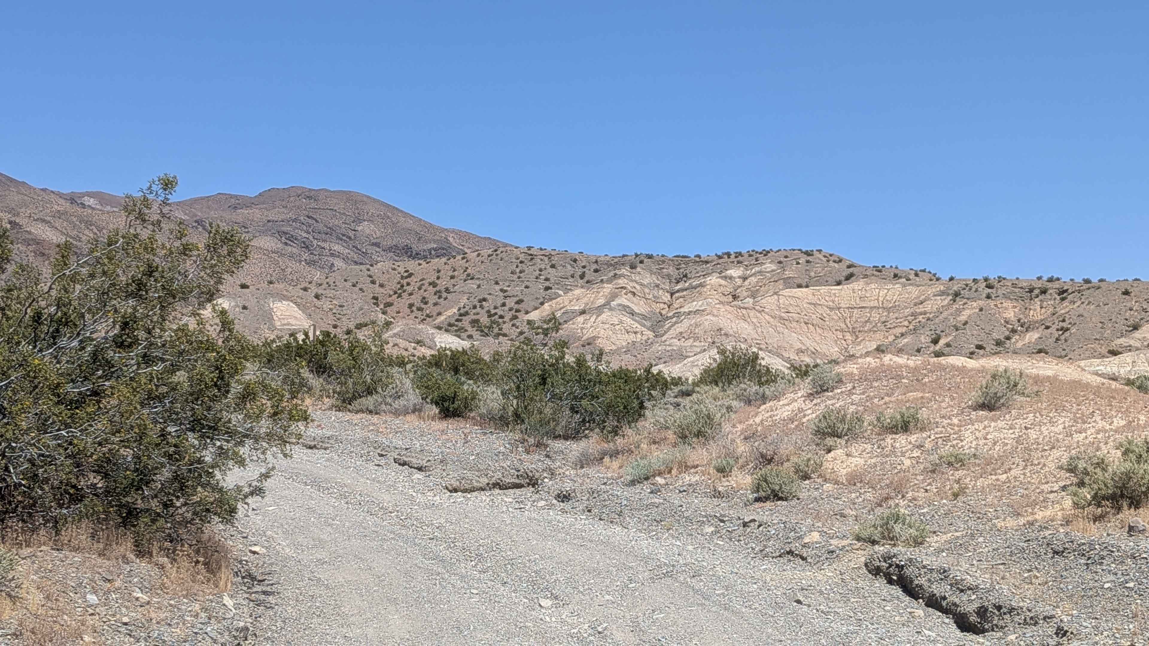
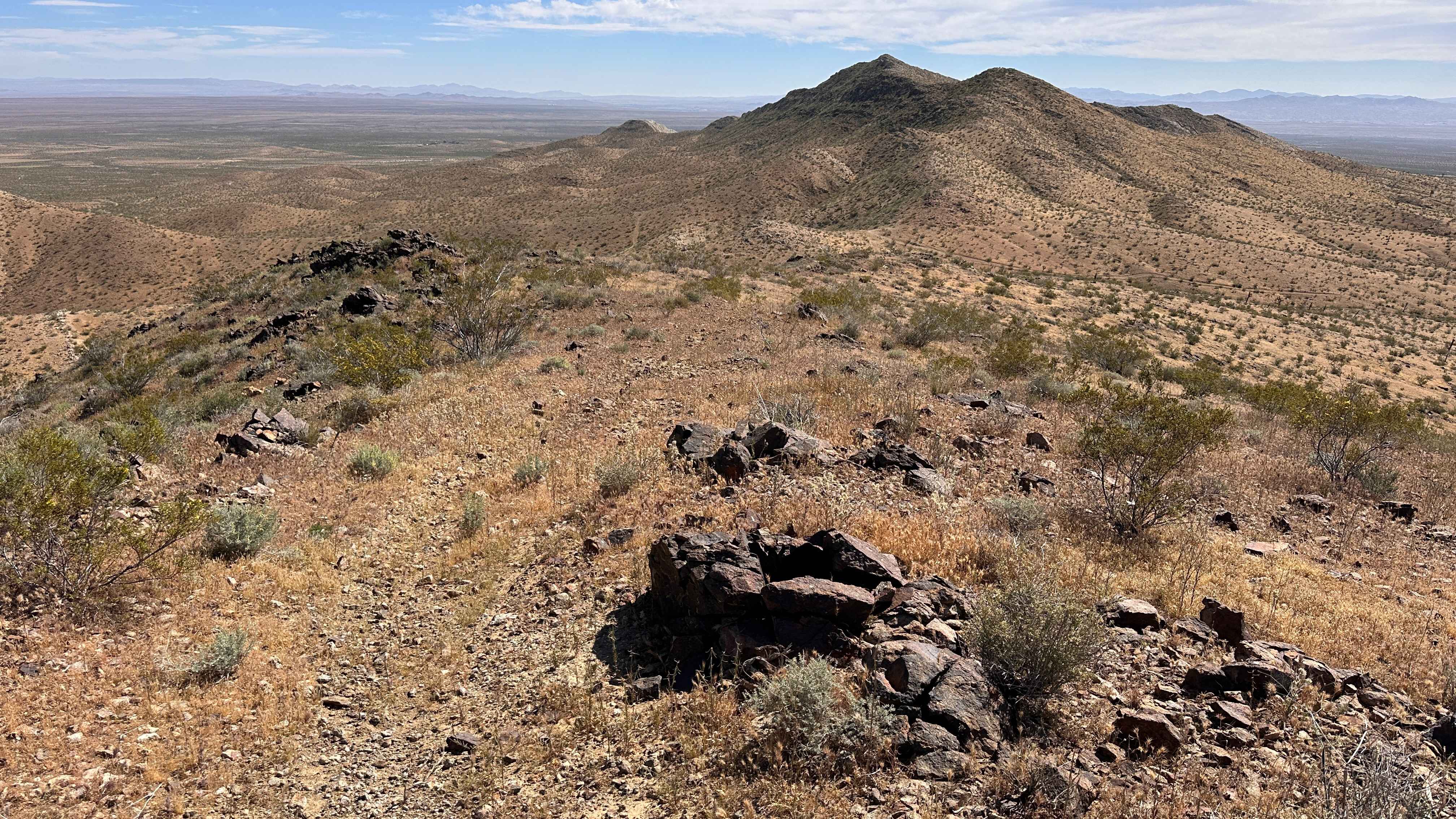
The trail starts off at Red Rock Randsberg Road on this limited-use trail, staying on established routes throughout. The corridor is lined with creosote bushes and desert grasses as we pushed north on a gravel and sand track about one and a half vehicles wide. This is the main southern approach to Schmidt's Tunnel and Bickle Camp, and the heavy traffic is obvious from the persistent washboard surface. At mile 4.0, the trail will crest the summit on the south side and begin dropping down the back, where you will be rewarded with sweeping views of Red Rock Canyon State Park. At mile 4.1, the BLM designation shifted to EP199, and by mile 4.6, it changed again to EP15.
Photos of Mesquite Canyon South
Difficulty
This trail rolls through consistent washboards along with deeper sand and gravel for the first several miles. Around mile 2.0, embedded rock sections begin appearing, though nothing exceeded about six inches in height. The final stretch past mile 4.6 shows some washouts and ruts crossing the trail surface, adding a bit of extra attention to an otherwise straightforward run.
Status Reports
Mesquite Canyon South can be accessed by the following ride types:
- High-Clearance 4x4
- SUV
- SxS (60")
- ATV (50")
- Dirt Bike
Mesquite Canyon South Map
Popular Trails
Long Shadow Ridge
Briceburg Road - FS 2S05
Wadford Springs Cutoff - FS 2N47
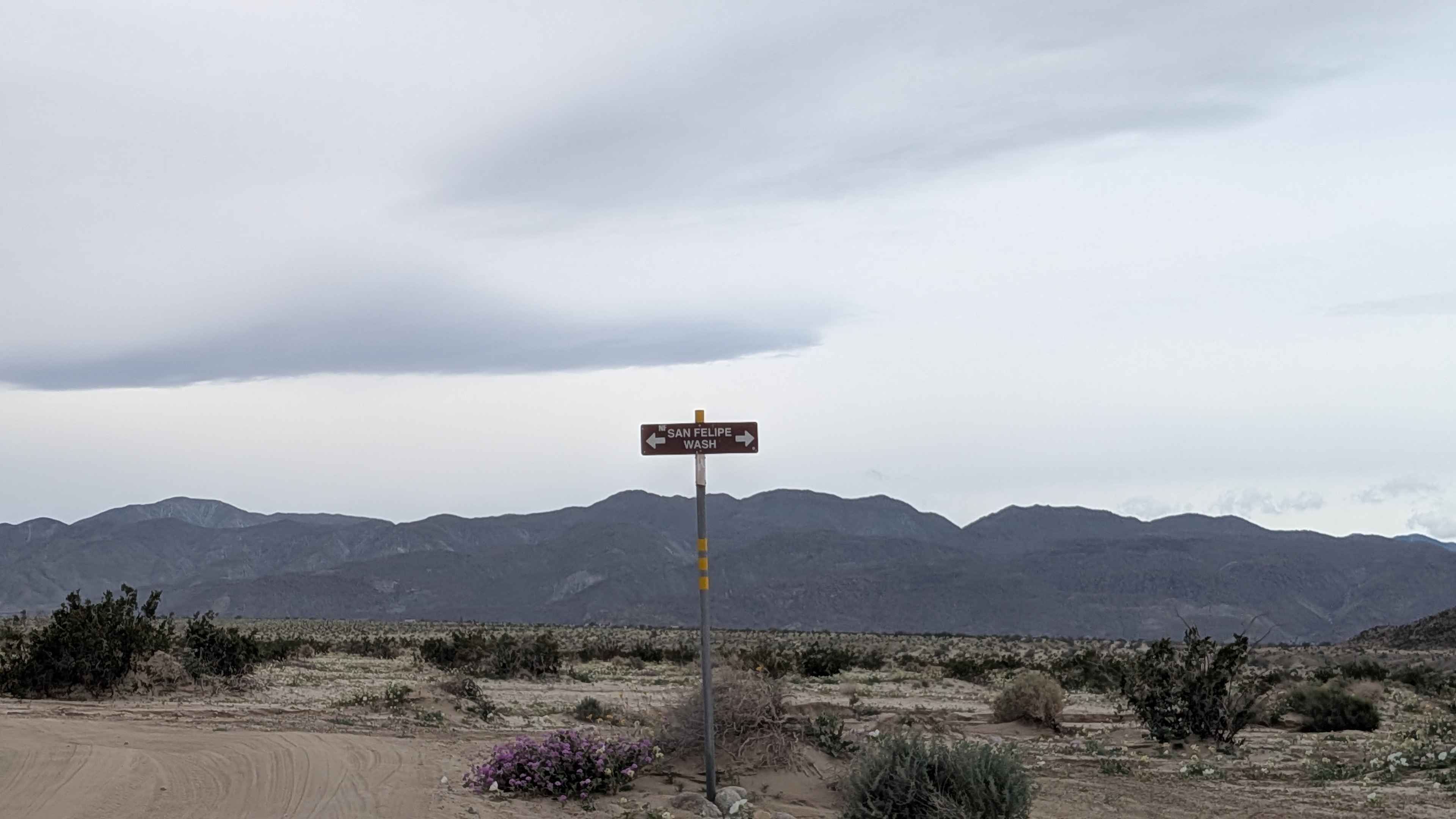
North Fork San Felipe Wash
The onX Offroad Difference
onX Offroad combines trail photos, descriptions, difficulty ratings, width restrictions, seasonality, and more in a user-friendly interface. Available on all devices, with offline access and full compatibility with CarPlay and Android Auto. Discover what you’re missing today!