FS 2S106
Total Miles
3.5
Technical Rating
Best Time
Summer, Fall
Trail Type
Full-Width Road
Accessible By
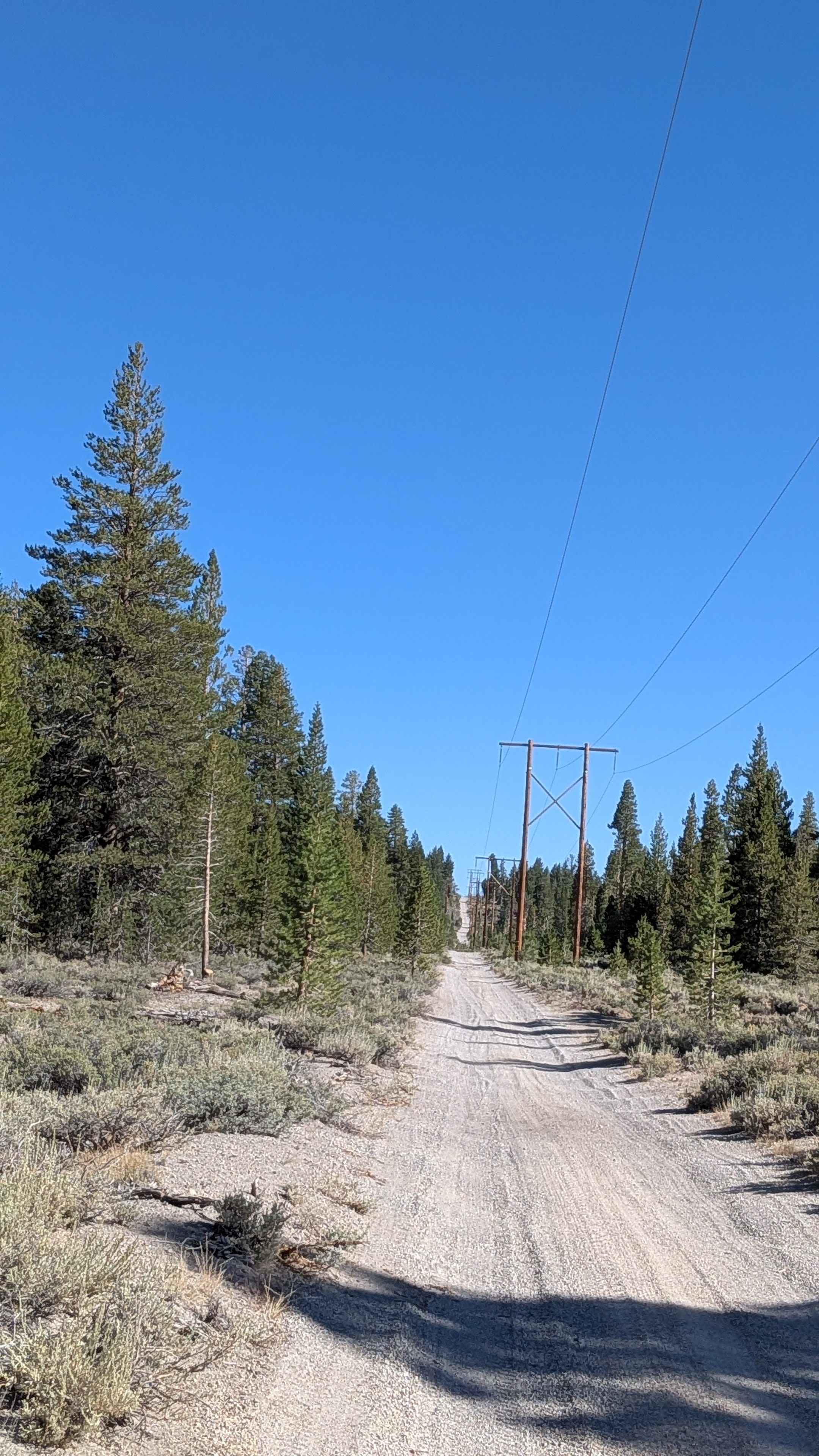
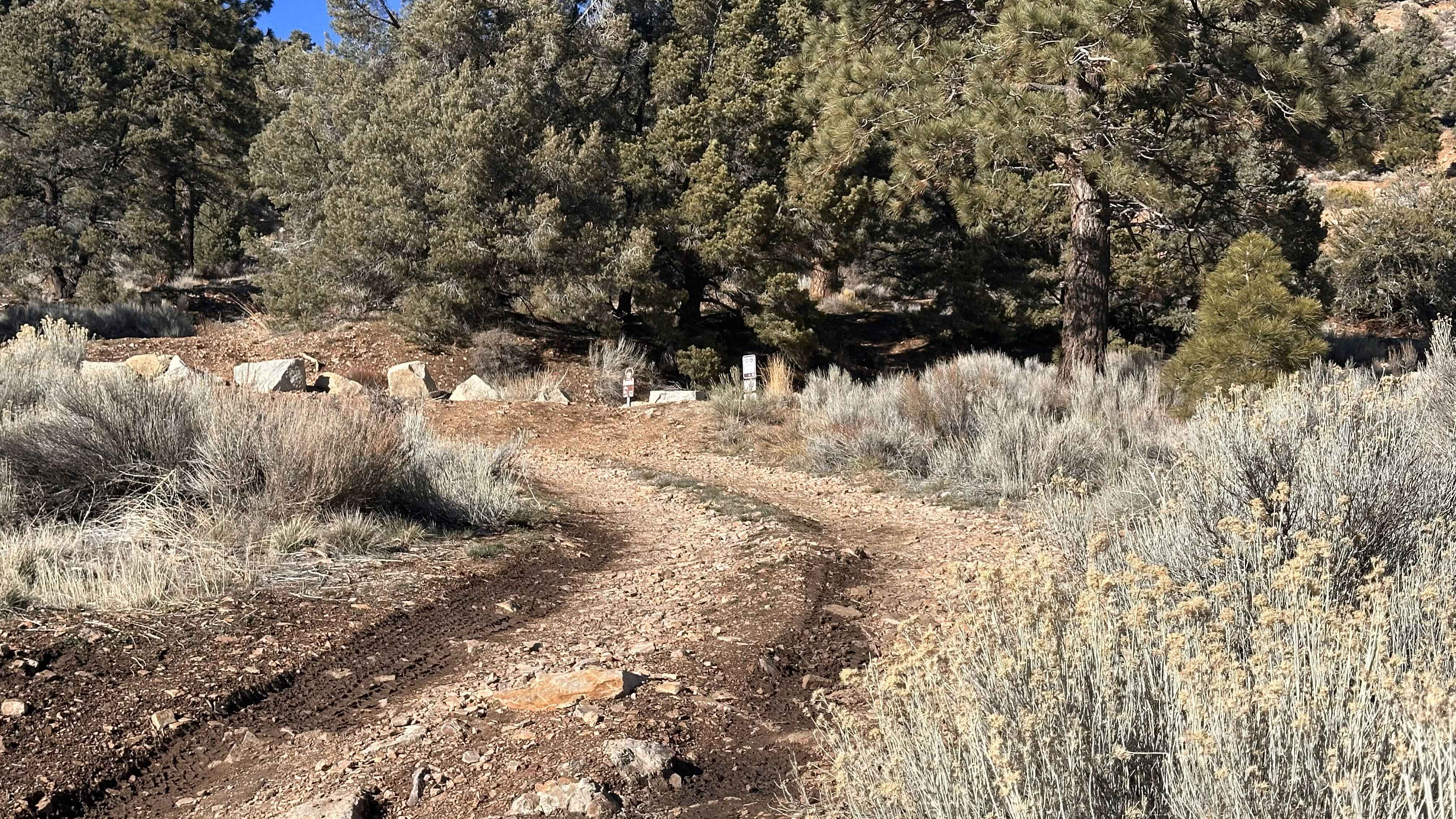
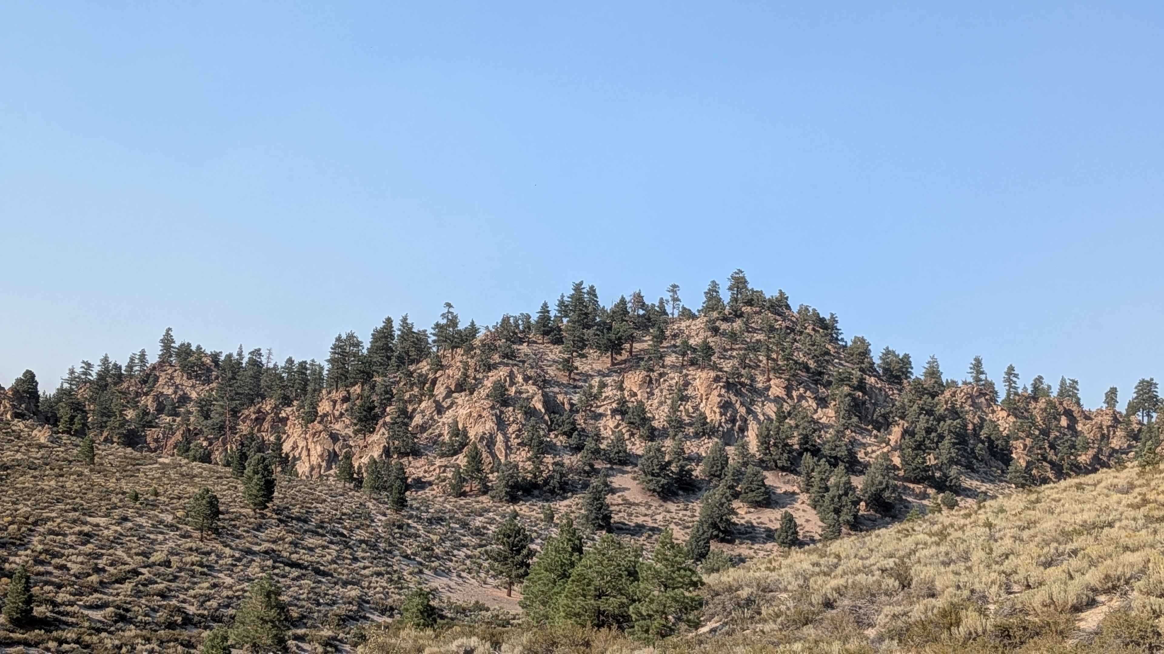
Trail Overview
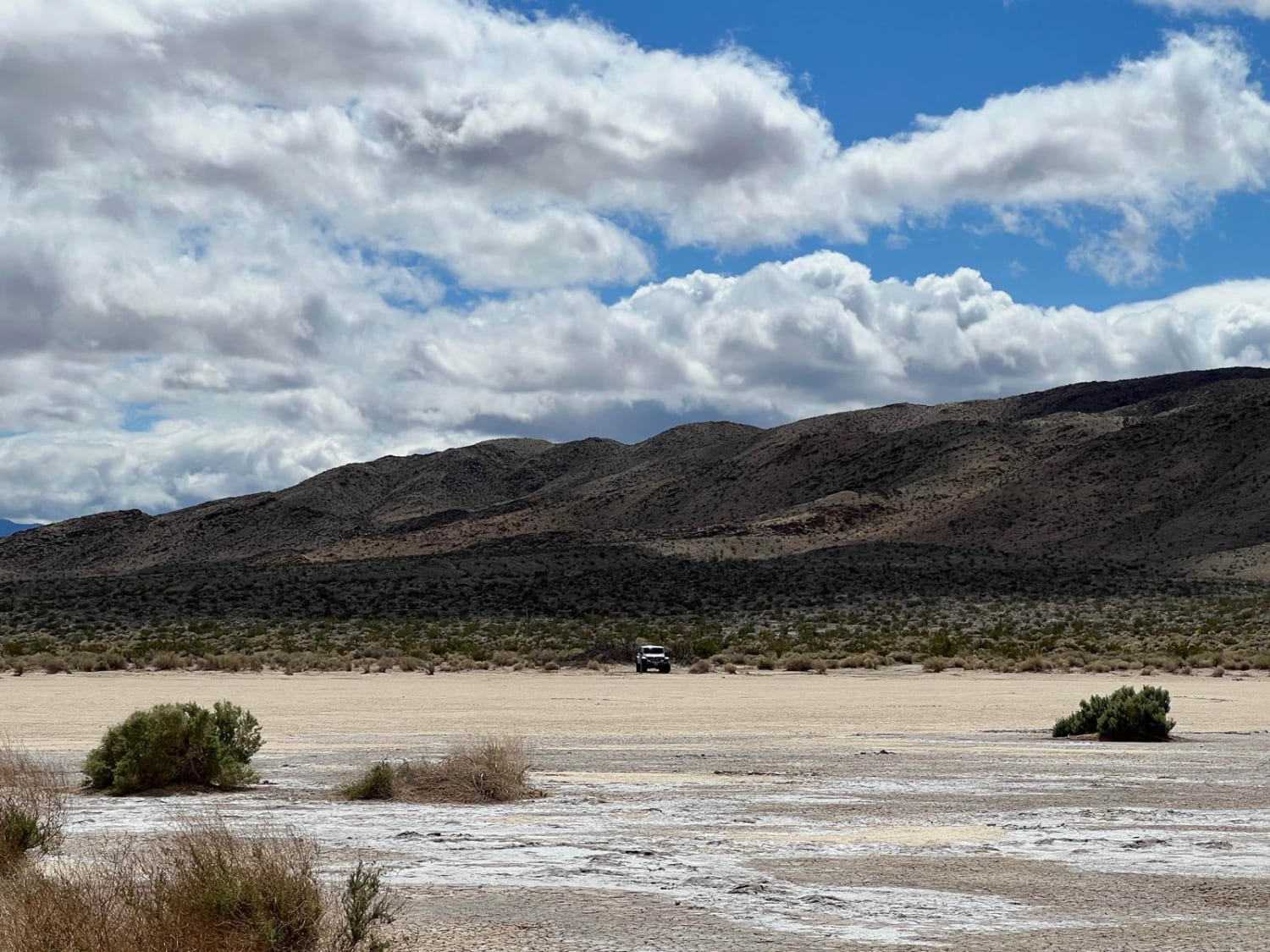
This sand and pumice trail runs parallel to Highway 395 on the west side, going up and down some steep hills while following the power lines. The trail is part of the larger Crater Loop and offers some views of the Eastern Sierras, including Morrison, Mini Morrison, and Sherwin Mountain throughout the route. Various spur trails and entrances from Highway 395 provide multiple access points along this heavily used corridor.
Photos of FS 2S106

Difficulty
The trail features lots of ruts, whoops, and washboards with some deep sand sections. Four-wheel drive is highly recommended. Be cautious, as there are some large rocks embedded in the sand that come out of nowhere. The trail is heavily used by SxS traffic.
Status Reports
FS 2S106 can be accessed by the following ride types:
- High-Clearance 4x4
- SUV
- SxS (60")
- ATV (50")
- Dirt Bike
FS 2S106 Map
Popular Trails
Gold Mountain - FS 3N69
Forest Service Road 4S121
Clark Dry Lake
The onX Offroad Difference
onX Offroad combines trail photos, descriptions, difficulty ratings, width restrictions, seasonality, and more in a user-friendly interface. Available on all devices, with offline access and full compatibility with CarPlay and Android Auto. Discover what you’re missing today!