Freeway Ridge 4WD
Total Miles
1.8
Technical Rating
Best Time
Spring, Summer, Fall
Trail Type
Full-Width Road
Accessible By
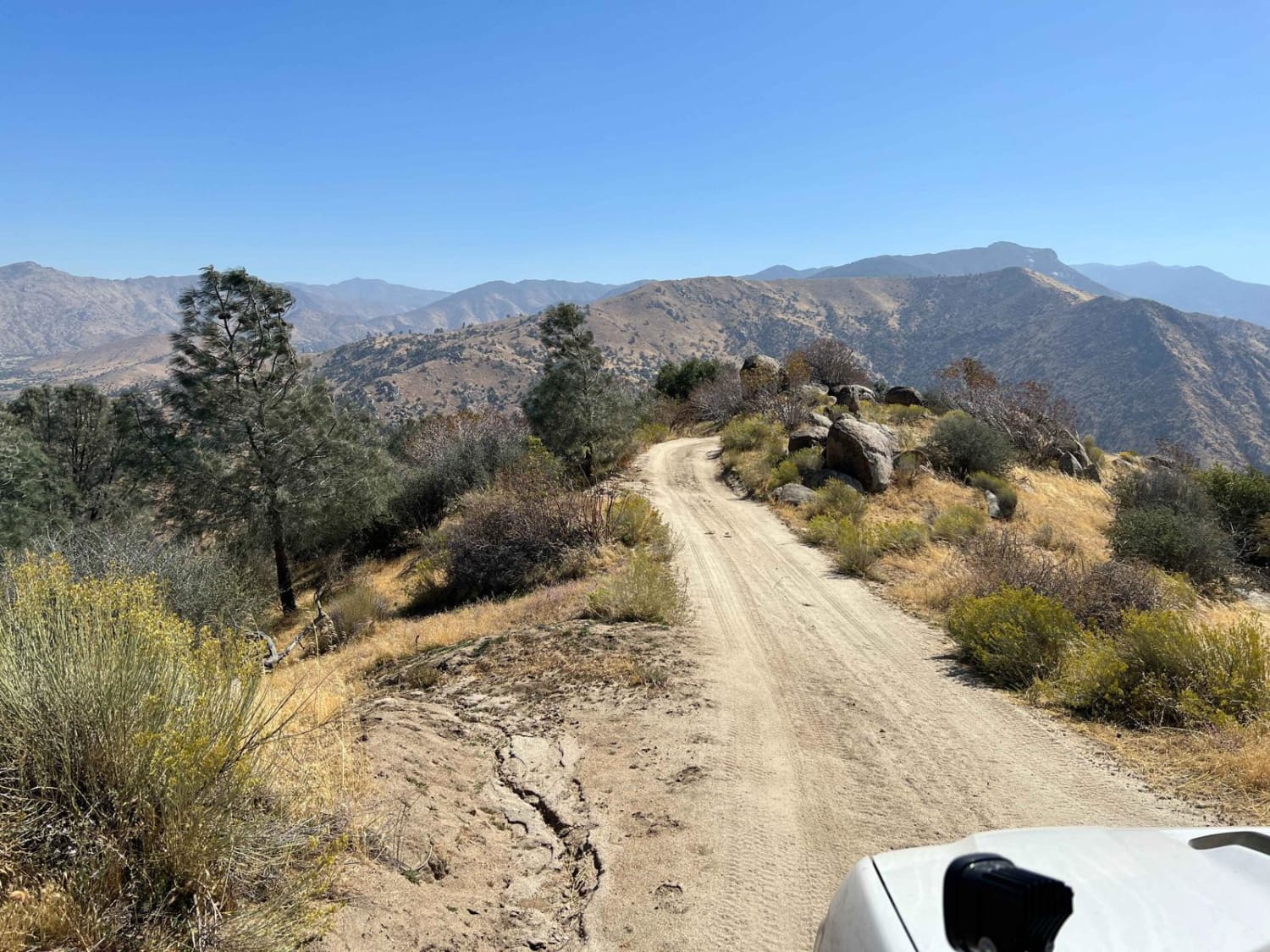
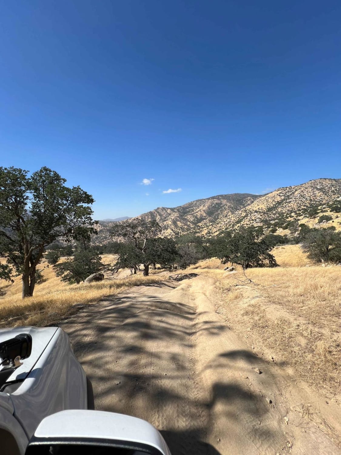
Trail Overview
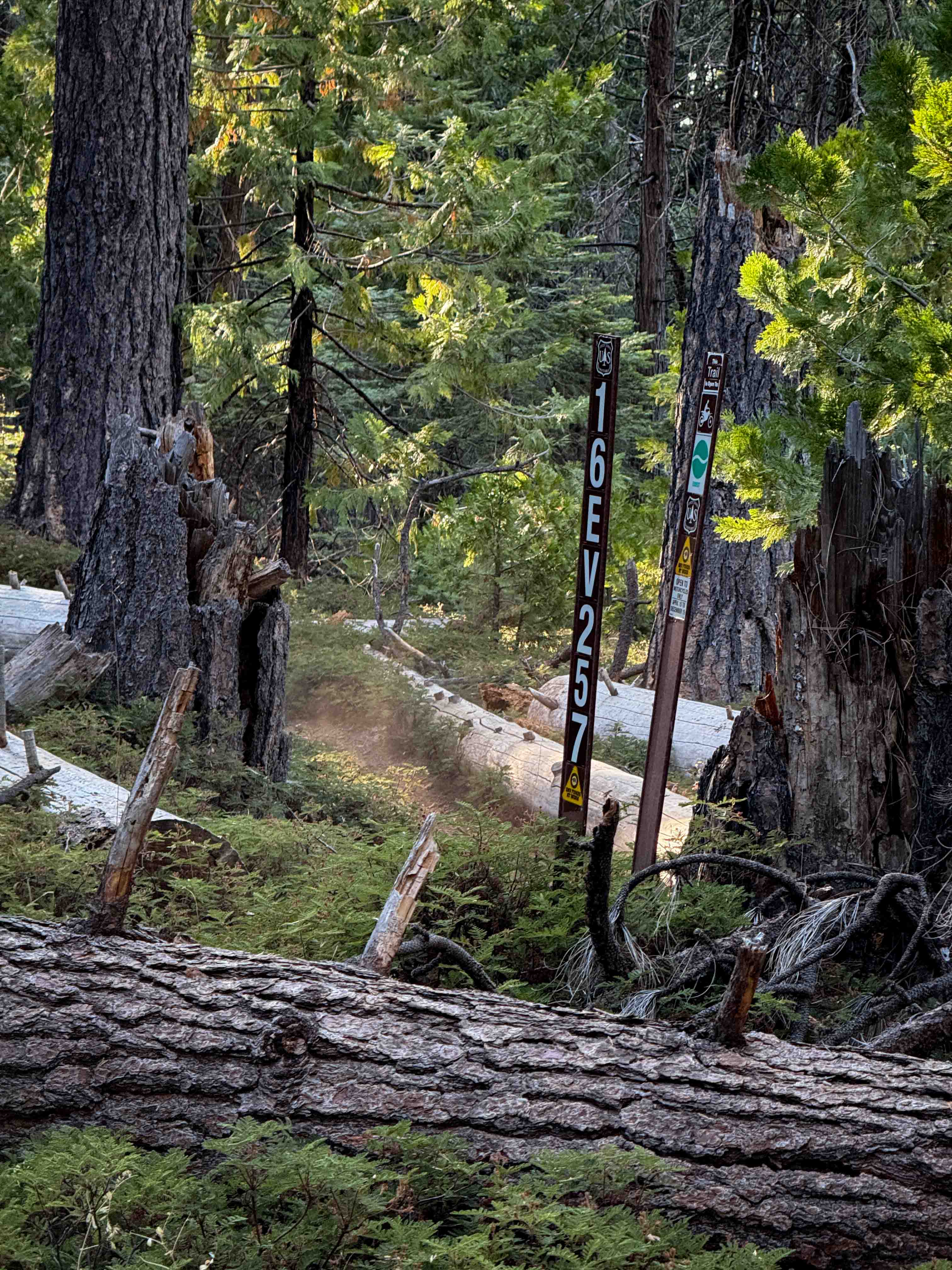
This is a more steep and narrow trail coming up from the freeway leading into Lake Isabella, making a nice circuit if visiting the area. There are a couple more interesting sections, requiring 4-low to surmount. It is easier to travel down from another trail, but the climb will not be boring and the payoff is a fast way to some much longer trails around the area.
Photos of Freeway Ridge 4WD
Difficulty
There are narrow and steep shelf sections of loose gravel and dirt with some deeper washout obstacles.
Status Reports
Freeway Ridge 4WD can be accessed by the following ride types:
- High-Clearance 4x4
- SUV
- SxS (60")
- ATV (50")
- Dirt Bike
Freeway Ridge 4WD Map
Popular Trails
Little Green Valley
Dove Springs Canyon Rd BLM SC103

Mammoth Knolls Summit and Viewpoint
The onX Offroad Difference
onX Offroad combines trail photos, descriptions, difficulty ratings, width restrictions, seasonality, and more in a user-friendly interface. Available on all devices, with offline access and full compatibility with CarPlay and Android Auto. Discover what you’re missing today!