Burma Grade Road
Total Miles
3.0
Technical Rating
Best Time
Summer, Fall, Spring
Trail Type
Full-Width Road
Accessible By
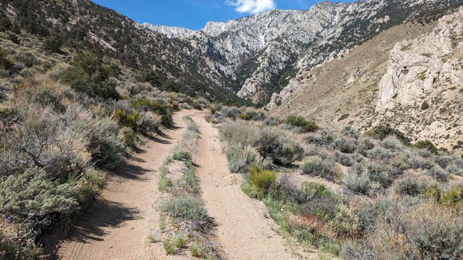
Trail Overview
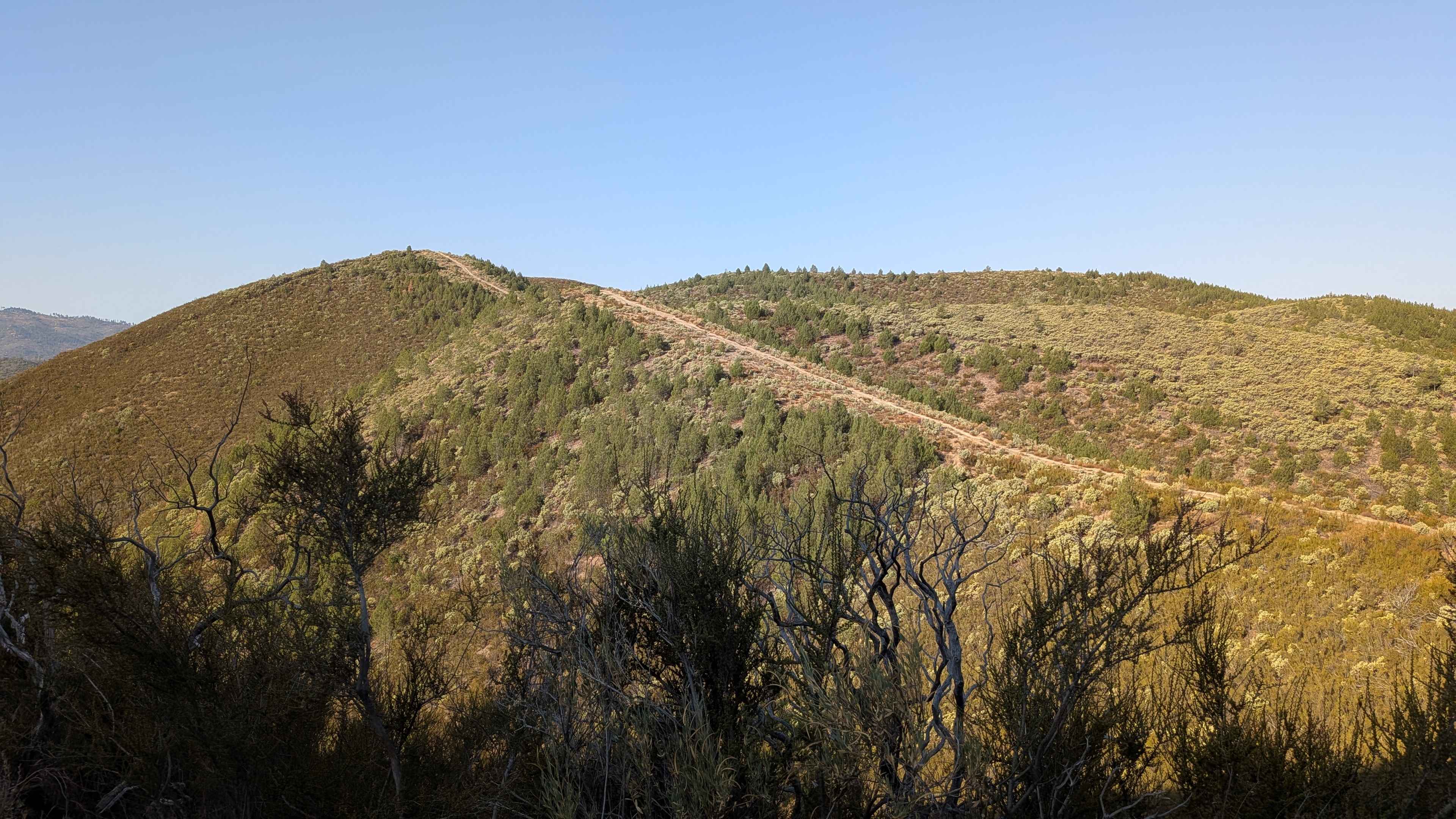
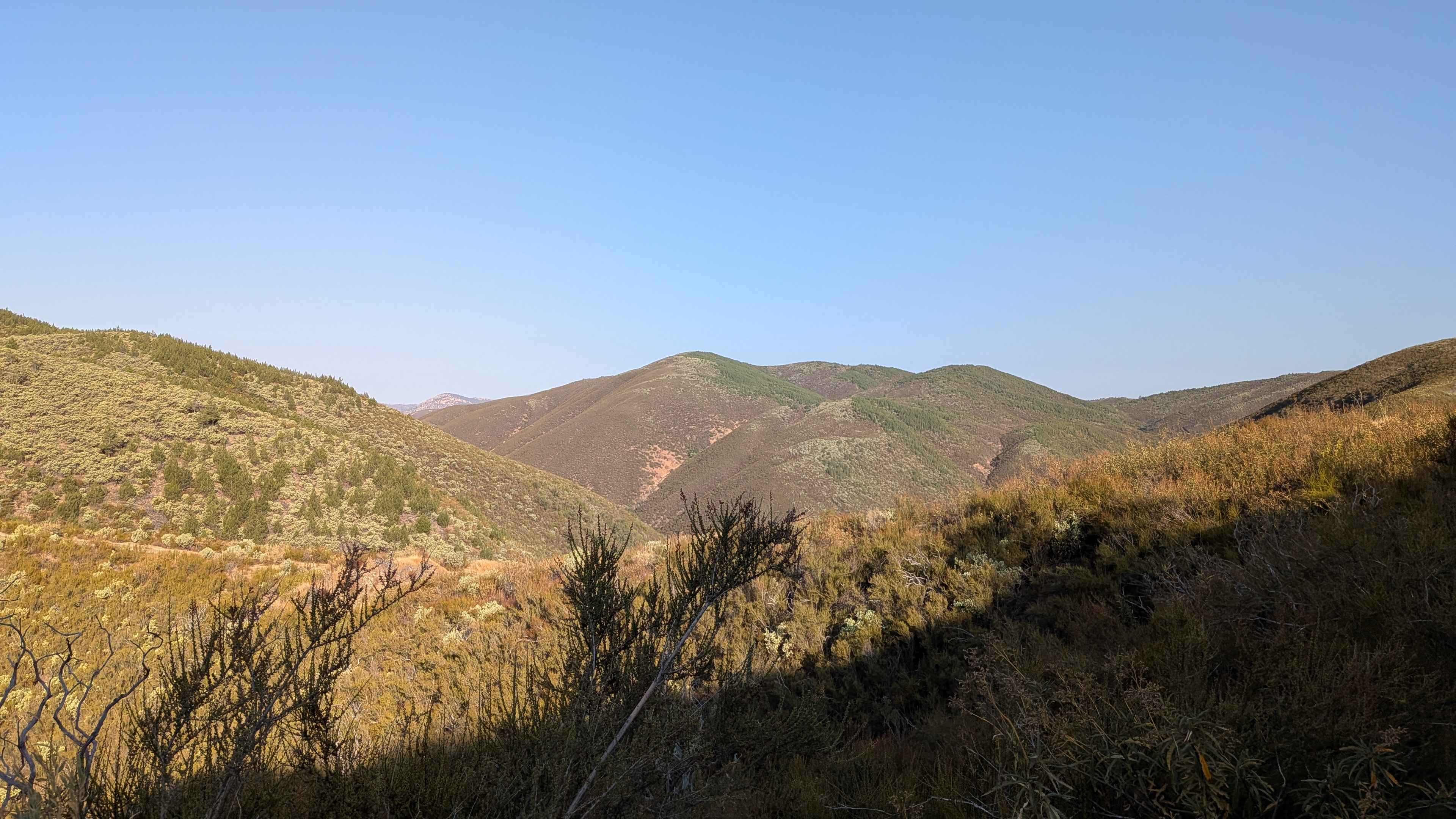
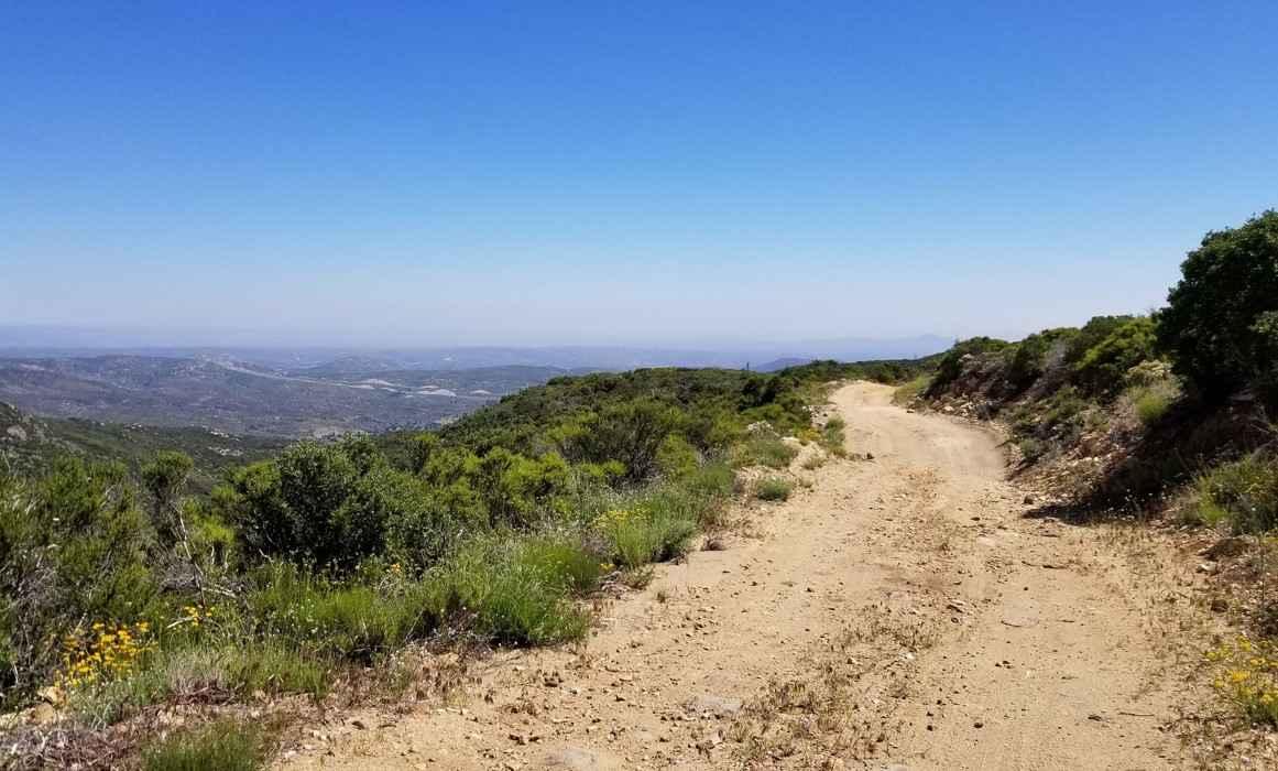
Burma Grade climbs almost 1,400 feet in 3 miles. The trail starts at Bull Creek Road and ends at Bull Creek Road South. To access it, take Briceburg Road behind the Briceburg Visitor Center and cross the bridge. The trail is managed by the BLM. The road is hard-packed dirt, about 1.5 vehicles wide, and follows a shelf road with multiple switchbacks. It offers beautiful views of the surrounding hills, the valley below, and the Merced River. Be aware of oncoming traffic, as you may need to find a wide spot to let others pass. There are some ruts and off-camber sections. Wildlife is common in this area, including mule deer, bobcats, mountain lions, rabbits, and pheasants. Fire restrictions are often in place, so check conditions before you go. At mile 1.4, the trail levels out, leaving the steep shelf road and entering a short canyon. The surface becomes rougher with deeper ruts. The road is lined with brush, smaller trees, and sections where a canopy of trees stretches over the track. The area has a rich mining history, and there are still some active claims. Around mile 3.3, the route opens to a wide meadow. The second half of the trail passes through private land, so please stay on the road and respect property. Deeper erosion ruts appear in some spots. Right before mile 4, the descent begins on the opposite side of the grade.
Photos of Burma Grade Road
Difficulty
This trail features off-camber sections and shelf roads that require attention, but most high-clearance 4x4s can handle it.
History
The Burma Grade is a historic, rugged backcountry road in Mariposa County, California, known for its challenging climb out of the Merced River Canyon, its connection to the historical Gold Rush era, and its namesake winding, winding terrain. Originally likely used by indigenous peoples for trade, it served as a crucial route during the Gold Rush, and today it is a popular trail for hiking, biking, and high-clearance vehicles to access areas like Greely Hill and Buck Meadows. The road's name may derive from its steep, "Burma-like" climb and the winding nature of the trail, which offered a quick way up the canyon.
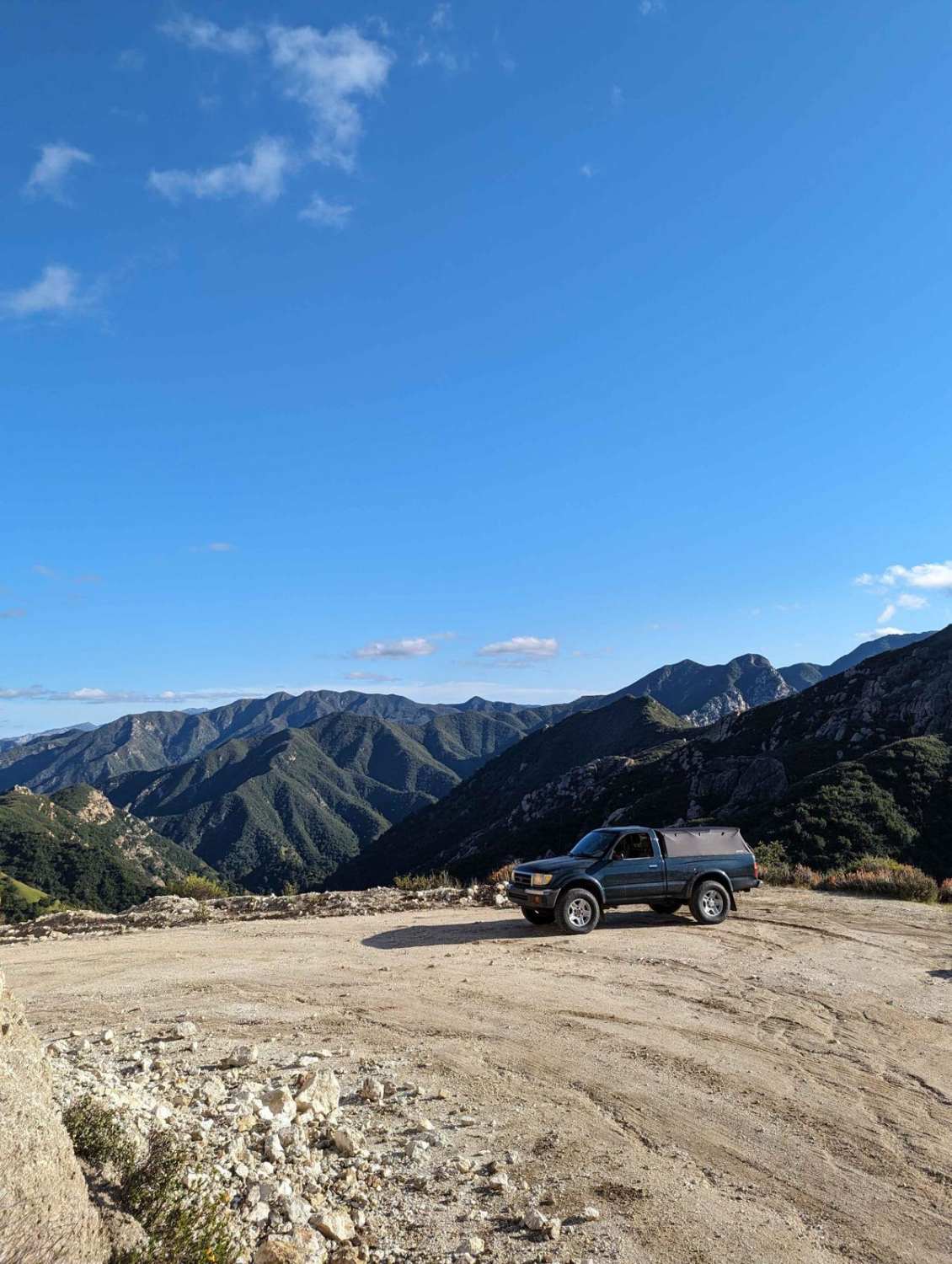
Burma Grade Road can be accessed by the following ride types:
- High-Clearance 4x4
- SUV
- SxS (60")
- ATV (50")
- Dirt Bike
Burma Grade Road Map
Popular Trails
16S08 Fred Canyon Road
Jackhammer
South Fork Lubken Creek Canyon Loop
The onX Offroad Difference
onX Offroad combines trail photos, descriptions, difficulty ratings, width restrictions, seasonality, and more in a user-friendly interface. Available on all devices, with offline access and full compatibility with CarPlay and Android Auto. Discover what you’re missing today!