Alice Mine
Total Miles
7.2
Technical Rating
Best Time
Spring, Summer, Fall, Winter
Trail Type
High-Clearance 4x4 Trail
Accessible By
Trail Overview
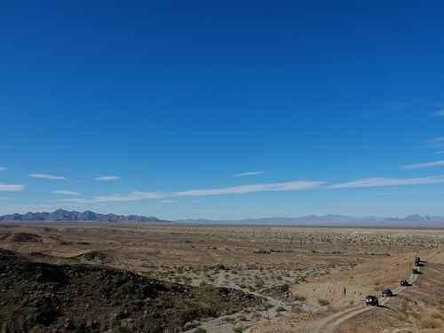
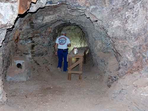
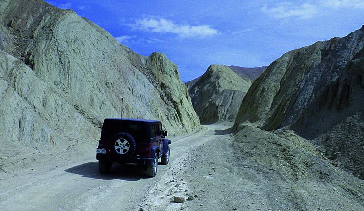
This is a short trip to go inside an old gold-copper mine with several levels. There is not much left on the outside of the mine. The main entrance is just behind the Jeep in this photo. Tailings above the opening indicate the upper level of the mine. Alice mine is located in a canyon of the Riverside Mountains. The roads are generally easy with only one slightly difficult area close to the mine. Most of the trail is over a flat desert that surrounds the mountains.
Photos of Alice Mine
Difficulty
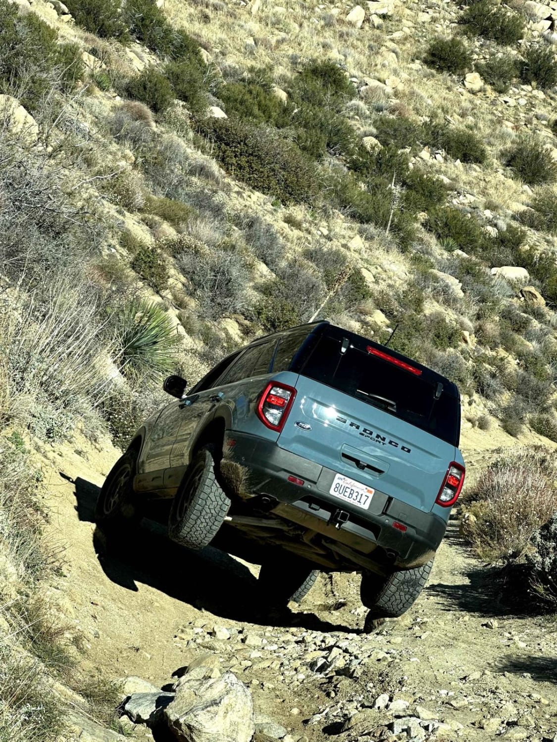
Uneven, rutted dirt trail with loose rocks, sand, erosion, and washes. Potential water crossings up to a foot deep, mud holes, and obstacles up to 18", including ledges and short, steep grades. Roads are typically one vehicle wide with places to pass.
Alice Mine can be accessed by the following ride types:
- High-Clearance 4x4
- SxS (60")
- ATV (50")
- Dirt Bike
Alice Mine Map
Popular Trails
Baker Creek - FS 32E301
Rhymes - FS 26S19
Oriflamme Canyon Loop
Wall Street Canyon Overlook
The onX Offroad Difference
onX Offroad combines trail photos, descriptions, difficulty ratings, width restrictions, seasonality, and more in a user-friendly interface. Available on all devices, with offline access and full compatibility with CarPlay and Android Auto. Discover what you’re missing today!