16EV101
Total Miles
1.9
Technical Rating
Best Time
Spring, Fall
Trail Type
Single Track
Accessible By
Trail Overview
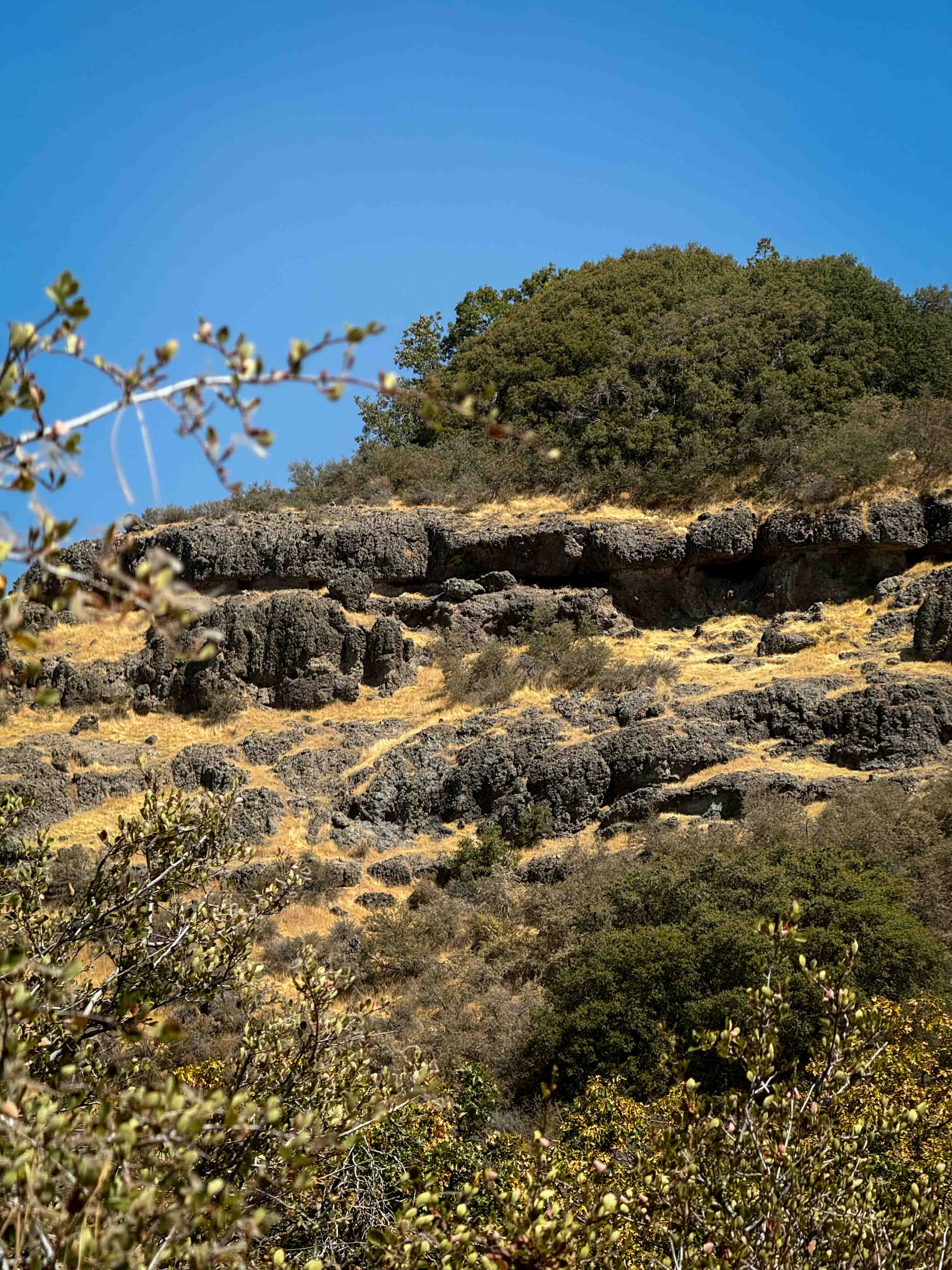
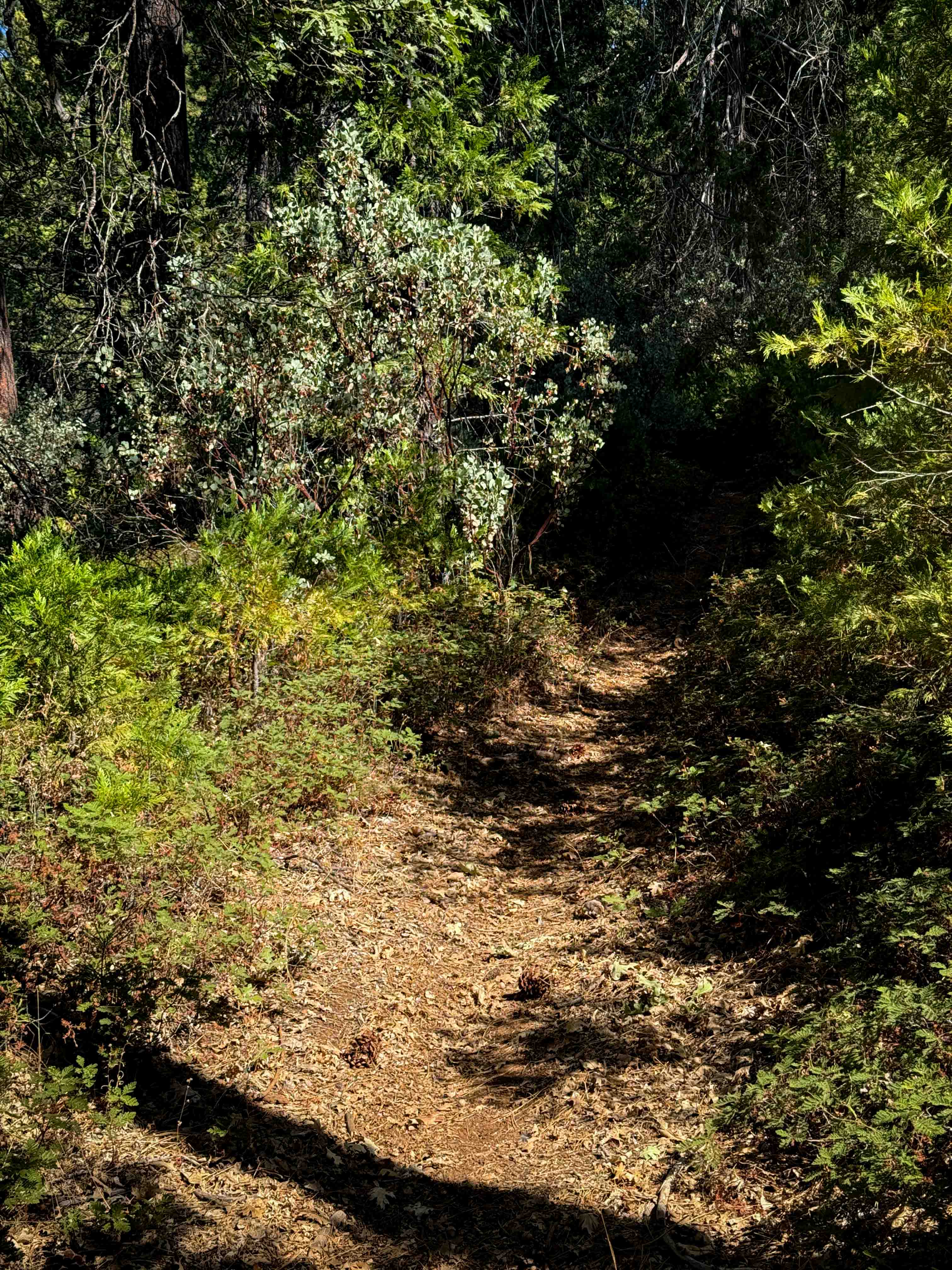
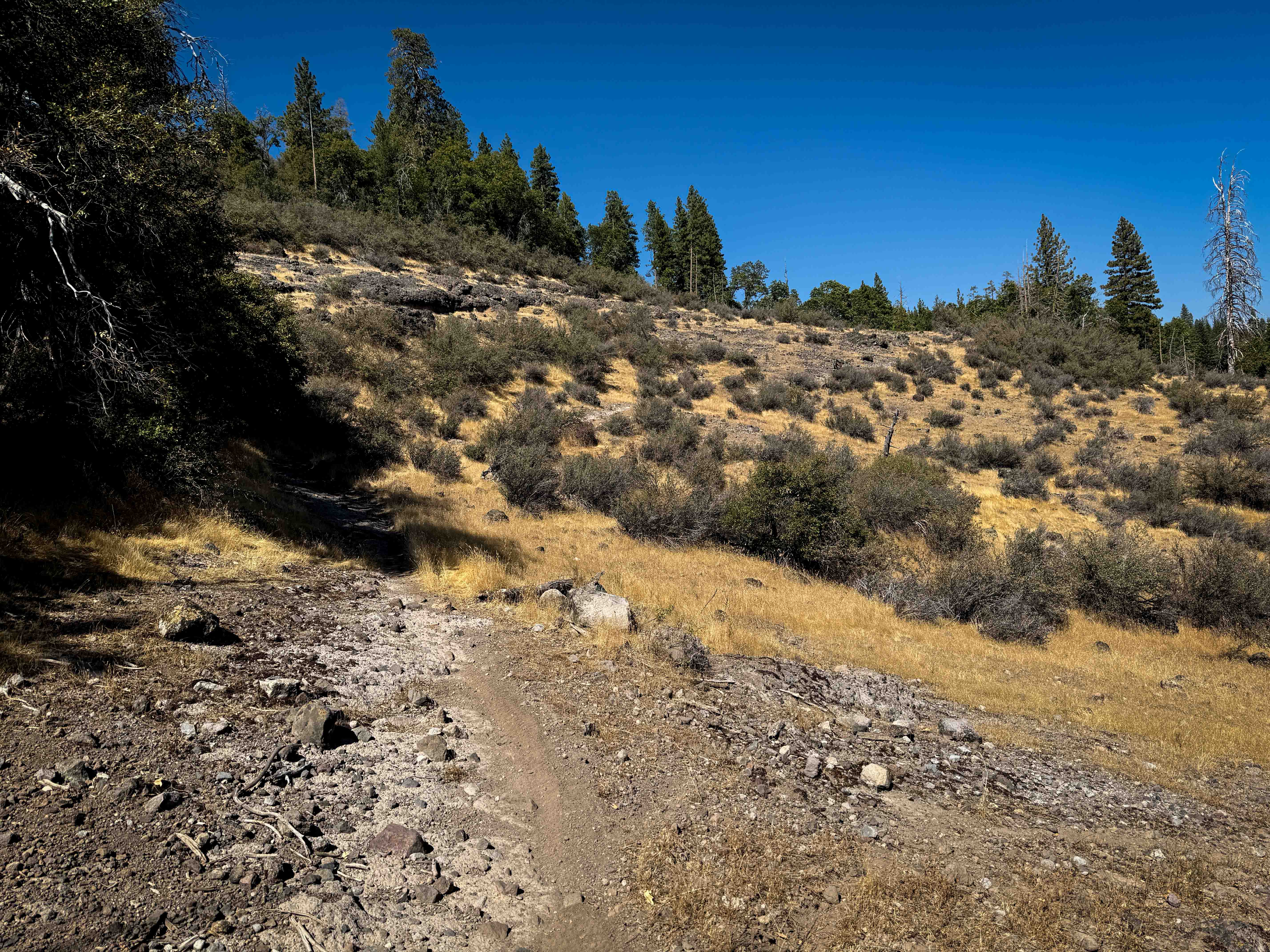
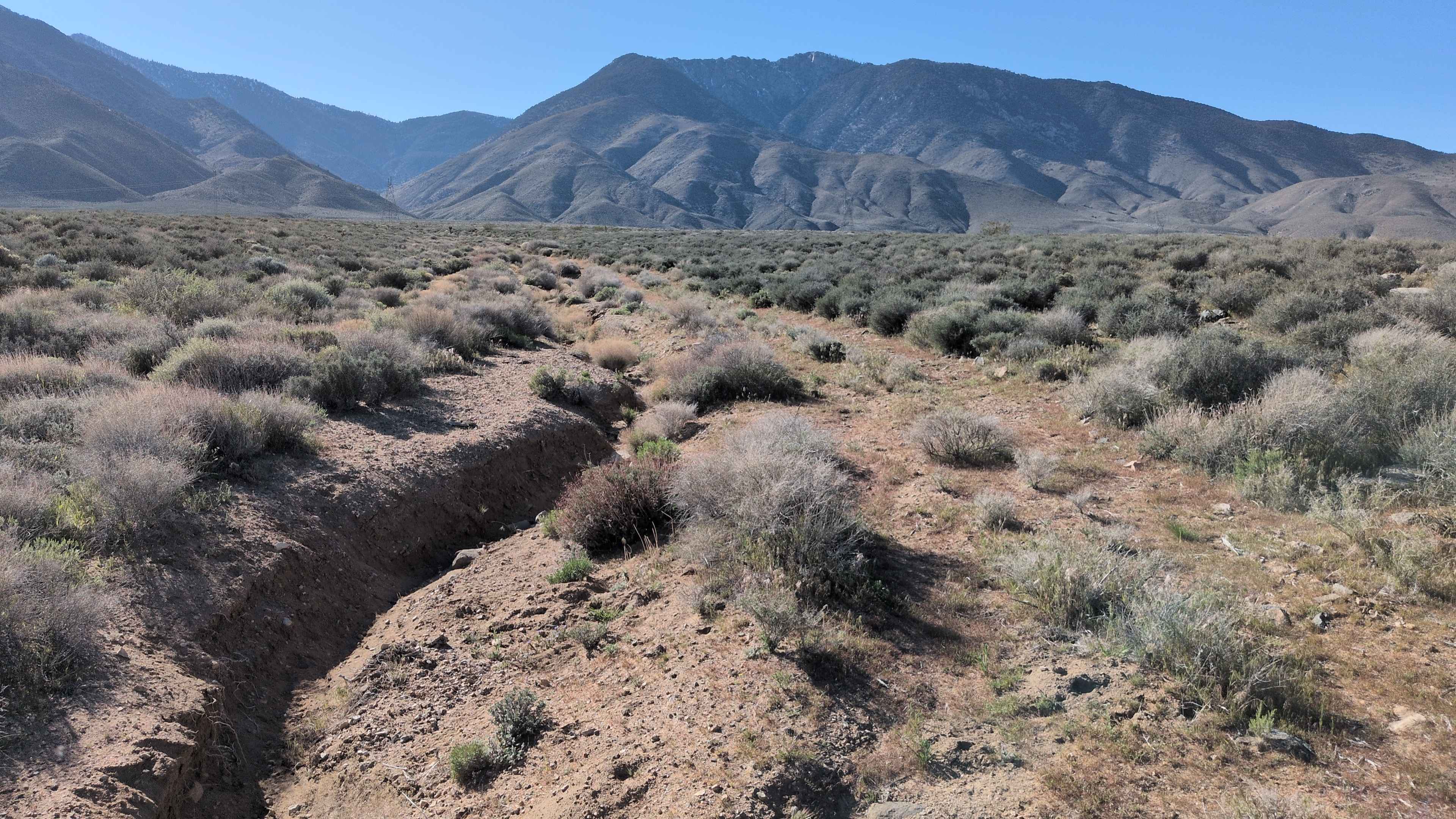
The north end of this 1.9-mile-long trail starts out climbing up from the Forest Service road, up a steeper slope with loose rock, narrowing up between lots of scrub oak and manzanitas. There are several downed logs sticking into the trail that you have to skirt around. It curves gently through the trees, but on a semi-steep grade, side-hilling up the mountainside on a shelfy path with very mild exposure, lined with tall pines and oaks. There's a long, steep hill climb that has been reinforced to prevent erosion. It pops out of the trees onto a sun-exposed hillside with sharp, volcanic-like loose rock and jagged embedded rock slabs. It goes past a few scenic rock walls as well, before ending on FS 3N35 near the intersection with the 16EV236 singletrack. This trail is seasonally closed 12/16 - 4/14 to motorized use.
Photos of 16EV101

Difficulty
This is an easier trail despite a pretty long and steep hill climb and a few loose rocky sections. It doesn't have any major rock obstacles or ledges.
Status Reports
16EV101 can be accessed by the following ride types:
- Dirt Bike
16EV101 Map
Popular Trails
The onX Offroad Difference
onX Offroad combines trail photos, descriptions, difficulty ratings, width restrictions, seasonality, and more in a user-friendly interface. Available on all devices, with offline access and full compatibility with CarPlay and Android Auto. Discover what you’re missing today!