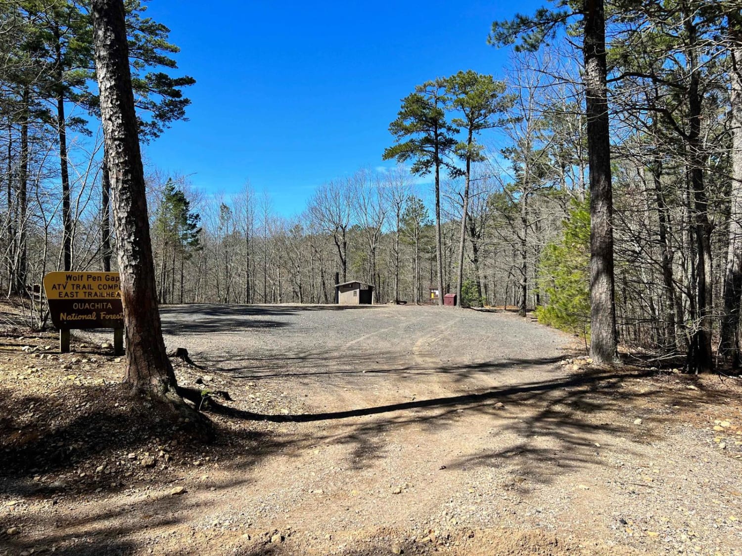
Wolf Pen Gap South Trail Head
Total Miles
2.8
Technical Rating
Best Time
Spring, Summer, Fall, Winter
Trail Type
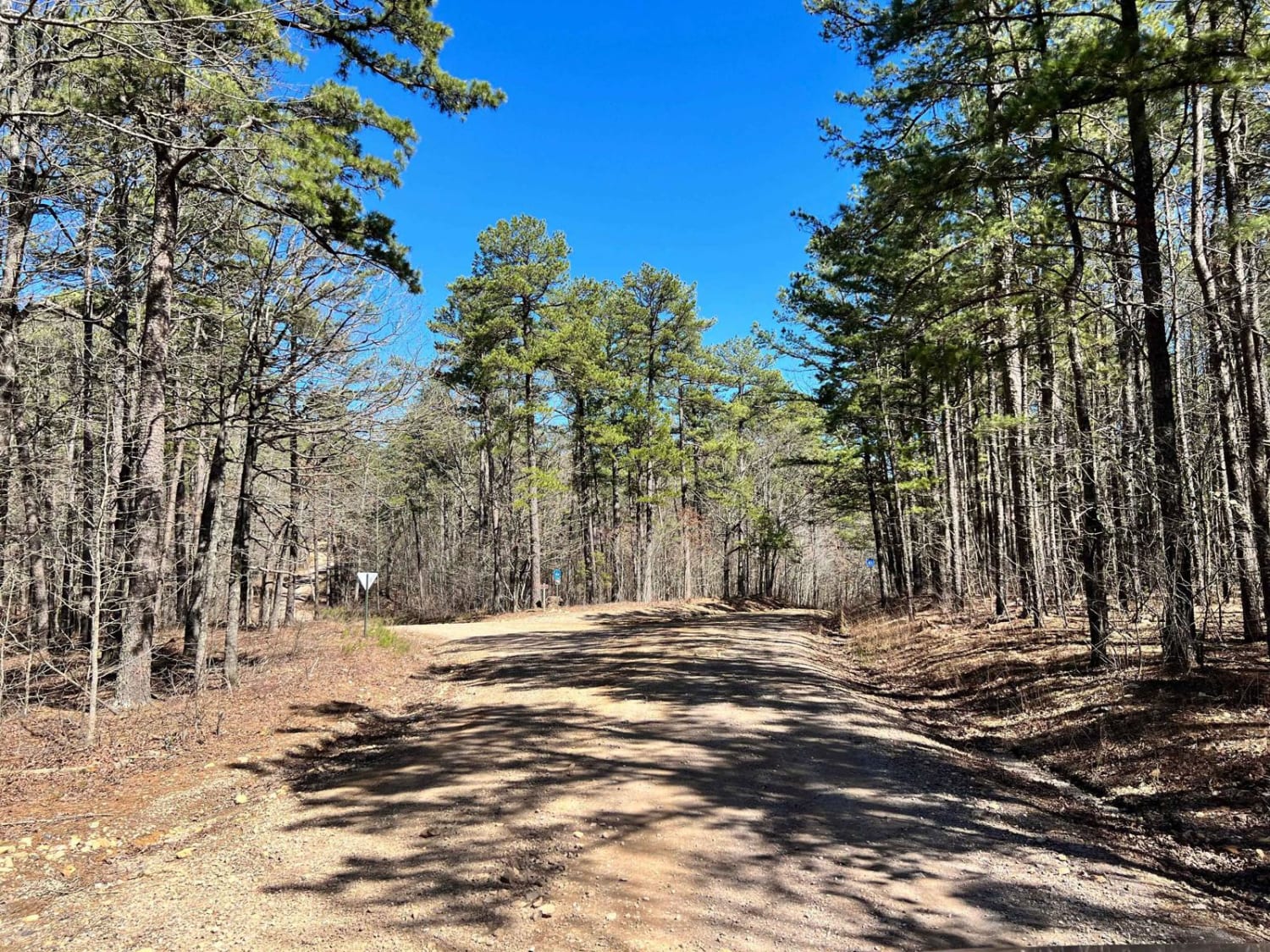
Full-Width Road
Accessible By
Trail Overview
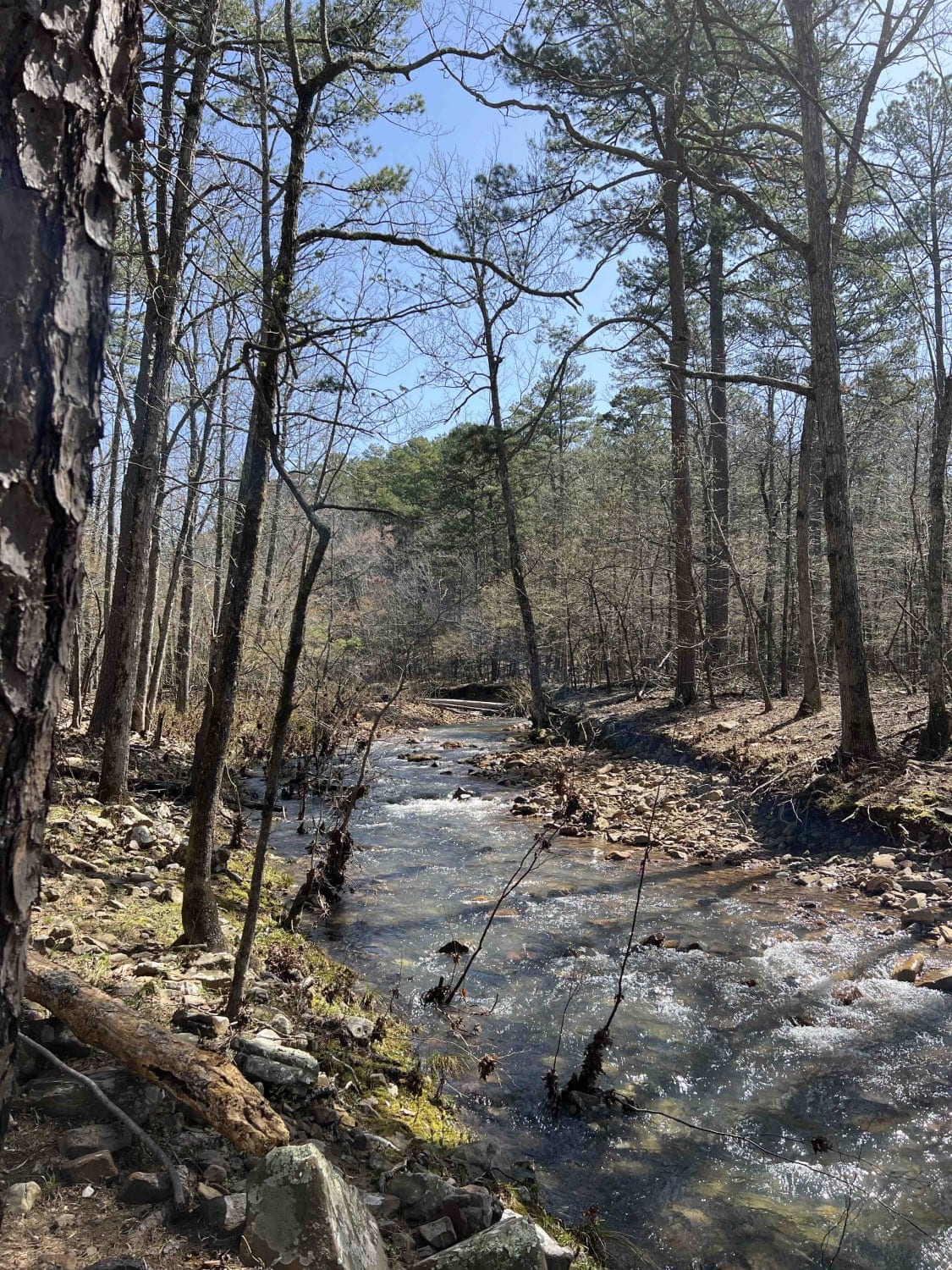
This trail leads into a much greater trail system area with lots to explore. We found it in reverse coming from Standing Rock. There are campsites available along the trail, but fewer here than in other areas. The roads are maintained but you will find loose gravel with some mud.
Photos of Wolf Pen Gap South Trail Head
Difficulty
There wasn't too much for this short section as far as difficulty, but the views were amazing.
Wolf Pen Gap South Trail Head can be accessed by the following ride types:
- High-Clearance 4x4
- SUV
- SxS (60")
- ATV (50")
- Dirt Bike
Wolf Pen Gap South Trail Head Map
Popular Trails


Long Caney bypass

Posey Hollow 76
The onX Offroad Difference
onX Offroad combines trail photos, descriptions, difficulty ratings, width restrictions, seasonality, and more in a user-friendly interface. Available on all devices, with offline access and full compatibility with CarPlay and Android Auto. Discover what you’re missing today!