Wainscott Bottoms
Total Miles
6.1
Technical Rating
Best Time
Summer, Fall
Trail Type
High-Clearance 4x4 Trail
Accessible By
Trail Overview
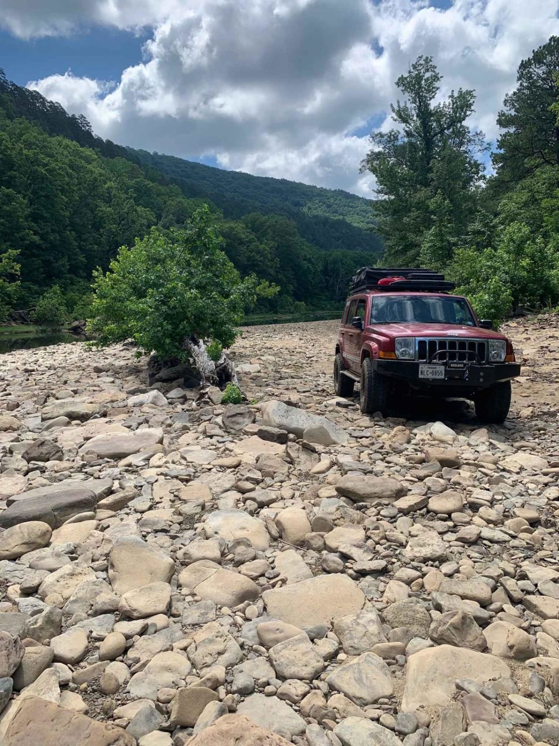
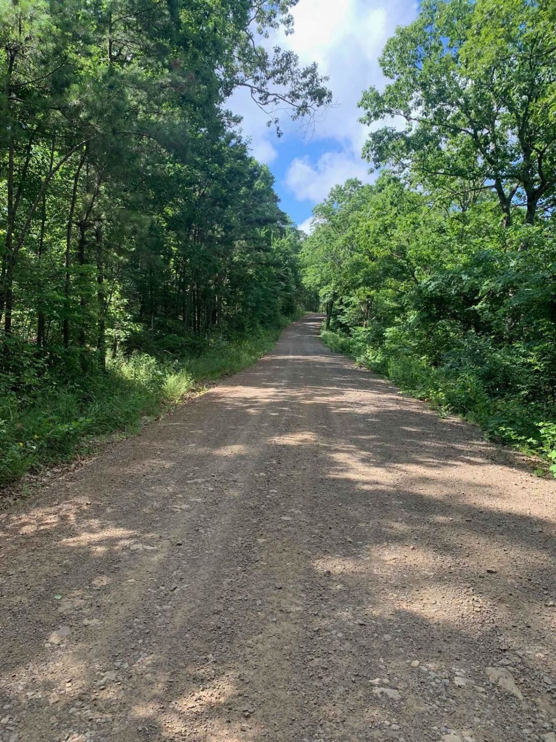
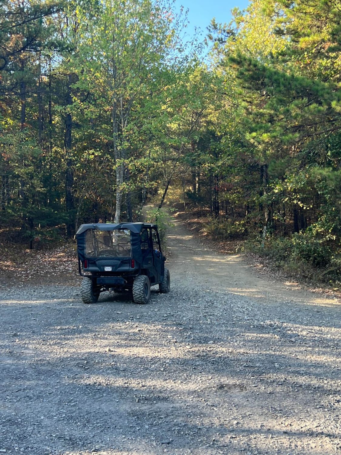
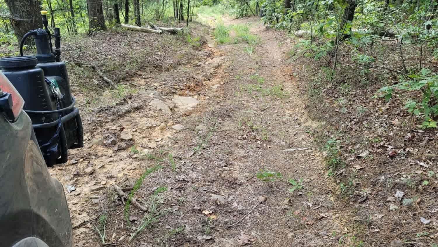
This route takes you into the Wainscott bottoms of Big Piney Creek. The trail starts as a smooth gravel road then transitions into a two-track Forest Service road, then into a narrow loose rock shelf descent into the creek valley. The trail gets very narrow towards the end, so heavy pinstriping is a guarantee. The trail dumps out into the Big Piney Creek.
Photos of Wainscott Bottoms
Difficulty
The trail is steep and very narrow towards the bottom of the valley. A couple mud holes can be deep after recent rain.
Status Reports
Wainscott Bottoms can be accessed by the following ride types:
- High-Clearance 4x4
- SxS (60")
- ATV (50")
- Dirt Bike
Wainscott Bottoms Map
Popular Trails
West Trailhead
The Arkansas Overland Route - Section 10 - Old Calion Lock and Dam
Washout Hill

The onX Offroad Difference
onX Offroad combines trail photos, descriptions, difficulty ratings, width restrictions, seasonality, and more in a user-friendly interface. Available on all devices, with offline access and full compatibility with CarPlay and Android Auto. Discover what you’re missing today!