Sour Springs
Total Miles
5.8
Technical Rating
Best Time
Spring, Summer, Fall, Winter
Trail Type
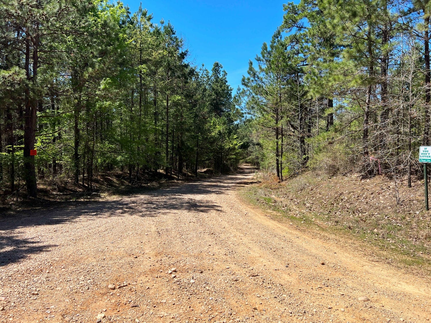
Full-Width Road
Accessible By
Trail Overview
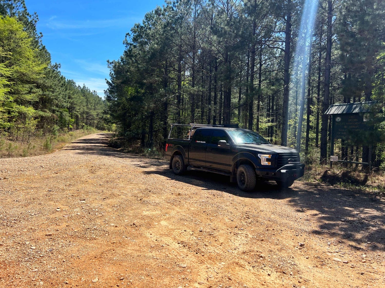
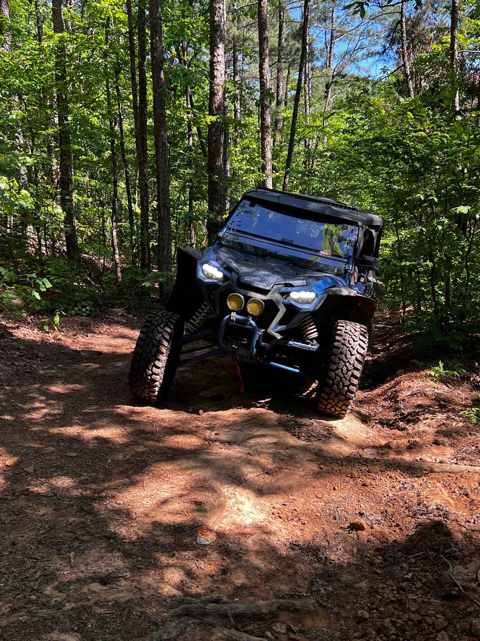
Sour Springs Road is a well graded gravel road two vehicles wide that is easy to drive even in a low clearance 2wd giving you remote access to Parker Creek campground and boat ramp. Or continue north deeper into the woods towards Rock Creek. This road passes along Arkansas Wildlife Management Area (WMA) with some private property dispersed along the route.
Photos of Sour Springs
Difficulty
If you're continuing on towards Rock Creek the route becomes more difficult with deep mud holes and water crossings.
Sour Springs can be accessed by the following ride types:
- High-Clearance 4x4
- SUV
Sour Springs Map
Popular Trails

E24 Vertical Challenge
To Bois d'Arc Lake Finger Point Landing
Old River Road
NFS 93053A Bear Hollow
The onX Offroad Difference
onX Offroad combines trail photos, descriptions, difficulty ratings, width restrictions, seasonality, and more in a user-friendly interface. Available on all devices, with offline access and full compatibility with CarPlay and Android Auto. Discover what you’re missing today!