Wicked Creek
Total Miles
5.3
Technical Rating
Best Time
Spring, Summer, Fall, Winter
Trail Type
Full-Width Road
Accessible By
Trail Overview
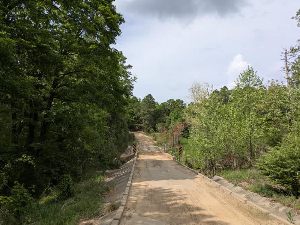
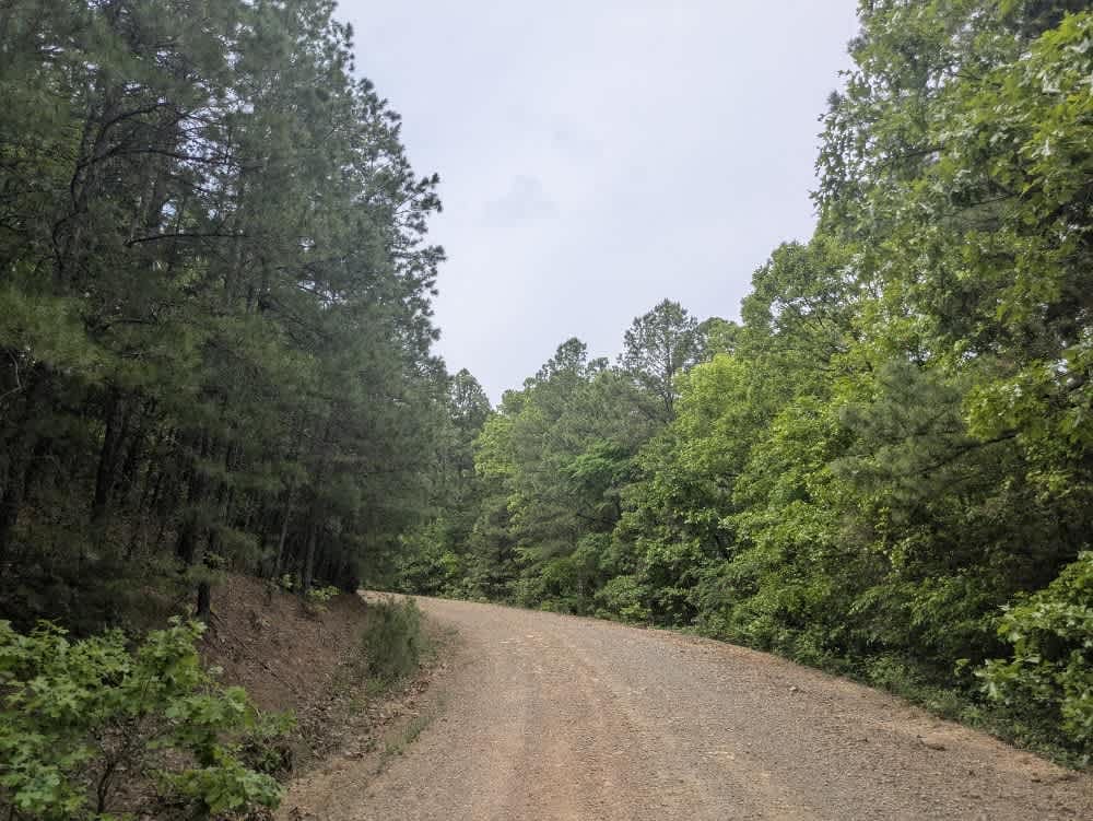
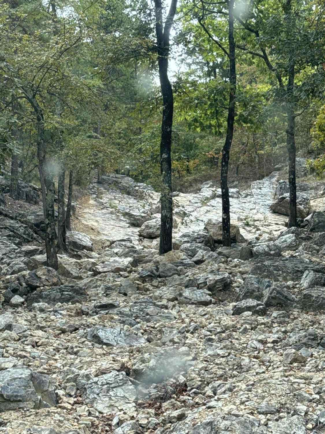
This trail begins with a steady climb into the mountains, crossing several cattle guards and a shallow stream that may be submerged depending on recent rainfall. Early on, the route passes through stretches of private land, but access becomes more open as elevation increases. The trail winds through dense, scenic forest and connects with numerous offshoots that invite further exploration. Although the road is generally well maintained, it remains rocky, uneven, and quite narrow in certain sections, requiring cautious driving, especially given its apparent popularity with local traffic. There are a few opportunities for dispersed camping, though amenities are not available and cell service is limited.
Photos of Wicked Creek
Difficulty
Well-maintained trail without any difficult sections.
History
Mount Magazine State Park, located in Logan County, Arkansas, encompasses 2,234 acres atop Mount Magazine--the state's highest point at 2,753 feet above sea level. This plateau, part of the Ozark-St. Francis National Forest offers dramatic elevation changes and sweeping views of the Arkansas River Valley.
Status Reports
Wicked Creek can be accessed by the following ride types:
- High-Clearance 4x4
- SUV
- SxS (60")
- ATV (50")
- Dirt Bike
Wicked Creek Map
Popular Trails
Little Piney Creek - Union School

C7 Donnie's Hill (Bottom)

Kane's Spring
The onX Offroad Difference
onX Offroad combines trail photos, descriptions, difficulty ratings, width restrictions, seasonality, and more in a user-friendly interface. Available on all devices, with offline access and full compatibility with CarPlay and Android Auto. Discover what you’re missing today!