Wallis
Total Miles
0.6
Technical Rating
Best Time
Spring, Summer, Fall, Winter
Trail Type
Full-Width Road
Accessible By
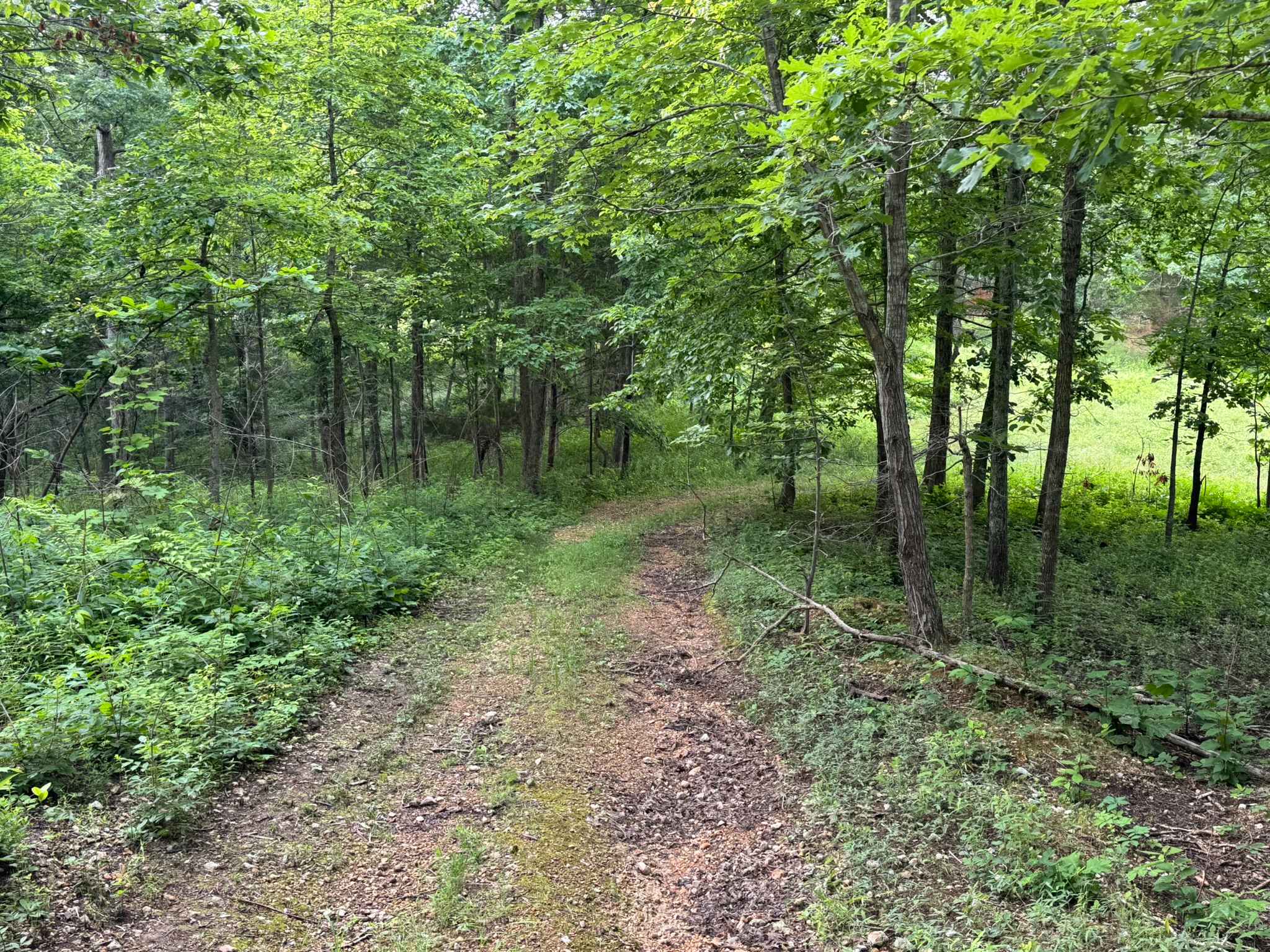
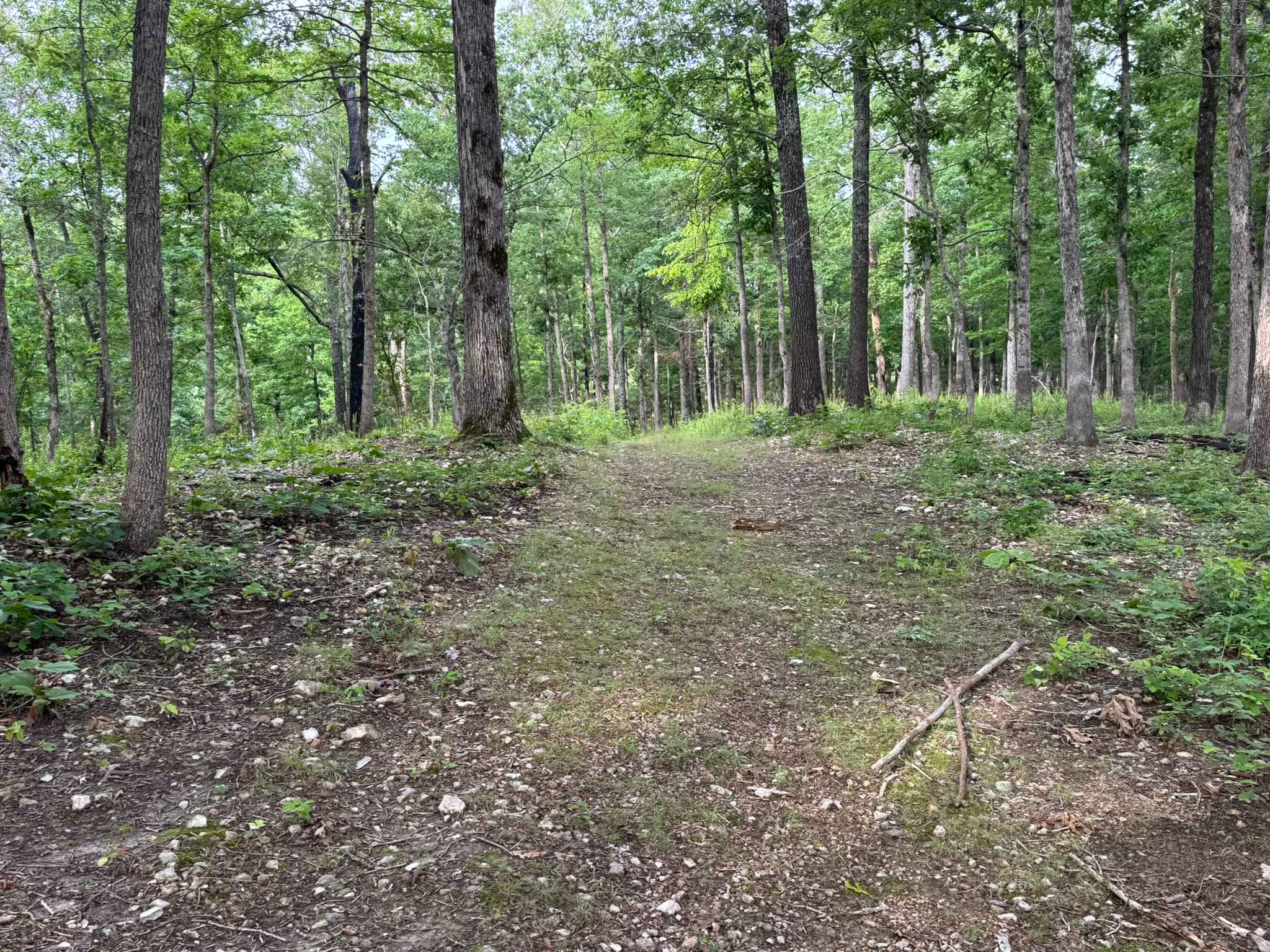
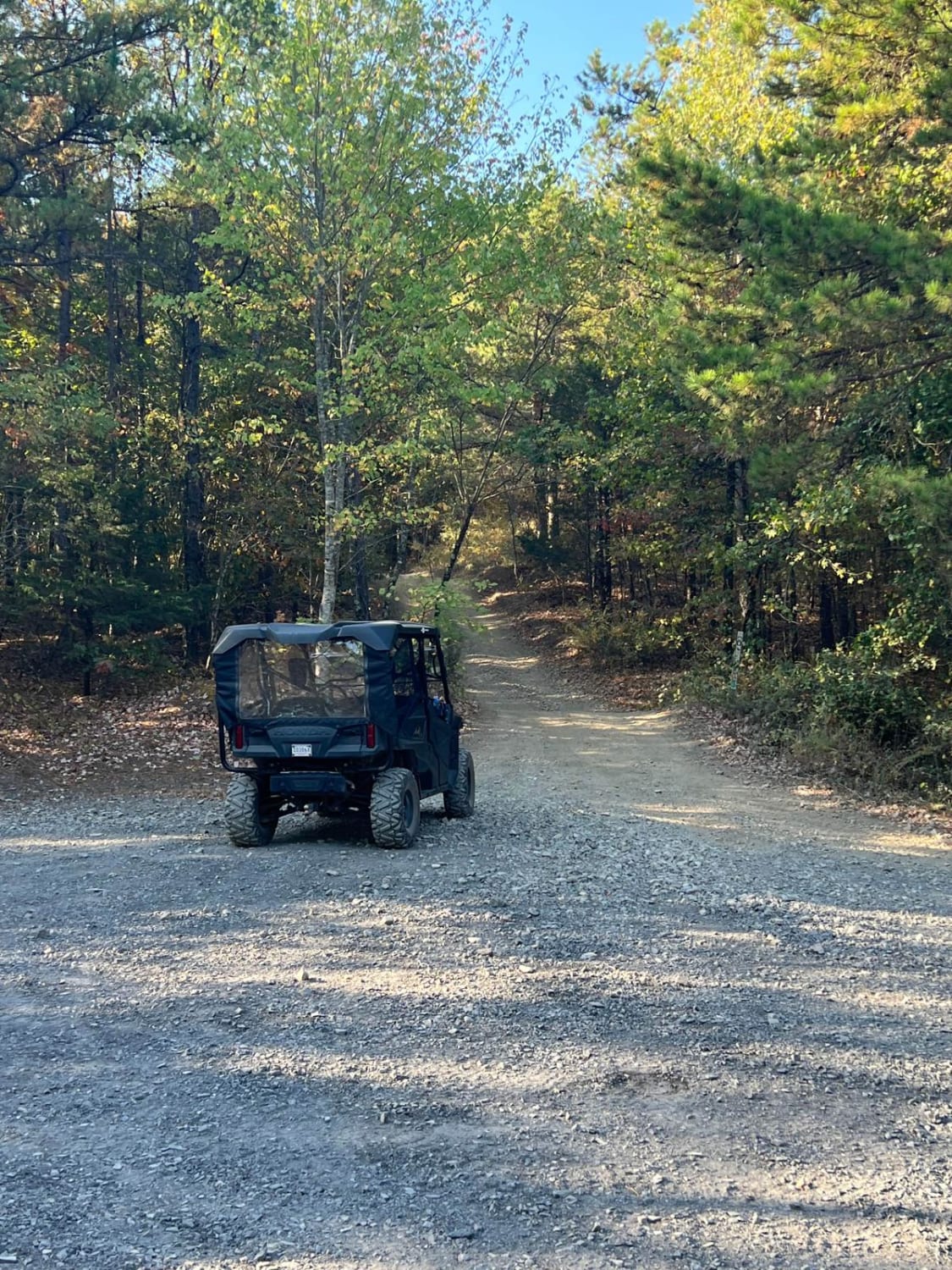
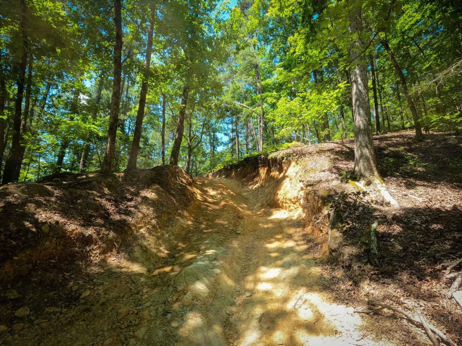
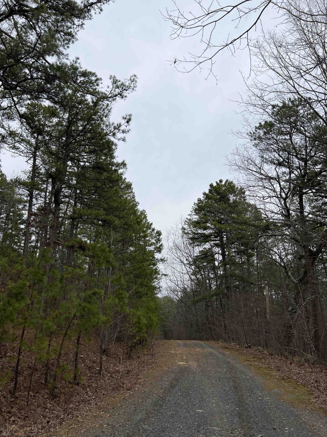
Trail Overview
This out-and-back trail is narrow and only wide enough for a single vehicle in most areas, making passing difficult if another group is encountered. The route winds through a quiet forest filled with tall hardwoods, scattered pines, and thick green undergrowth, with several sections opening briefly into small grassy clearings before diving back into the trees. The trail surface is mostly dirt and gravel with a few mild grades and gentle curves throughout the route. There are no major obstacles or technical features, making it a relatively easy drive for most high-clearance 4WD vehicles. However, low hanging branches and tighter tree-lined sections are common, so light pinstriping and paint scratches are possible, especially for wider vehicles.
Photos of Wallis
Difficulty
This is an easy single vehicle width trail with mild grades, gravel, and no major obstacles. Most stock high-clearance 4WD vehicles can complete it without issue. Passing may be difficult due to the narrow corridor, and low hanging branches could cause light pinstriping or paint scratches in tighter sections.
History
The roads throughout this region were originally established for logging, mining, homestead access, and fire management long before recreational off-roading became popular. Portions of the surrounding Buffalo National River area contain deep ties to Ozark pioneer history, including old settlements, abandoned homesites, family cemeteries, and former mining operations dating back to the late 1800s and early 1900s. The nearby Rush Historic District was once one of the largest zinc mining communities in Arkansas during the early 20th century. Many of the ridge roads and hollows drivers travel today follow paths historically used by miners, loggers, ranchers, and local residents navigating the rugged Ozark terrain long before modern highways existed.
Status Reports
Wallis can be accessed by the following ride types:
- High-Clearance 4x4
- SUV
- SxS (60")
- ATV (50")
- Dirt Bike
Wallis Map
Popular Trails
West Trailhead
Rubicon Ridge

G16 One Rock at a Time
Bear Creek Mountain Road 773
The onX Offroad Difference
onX Offroad combines trail photos, descriptions, difficulty ratings, width restrictions, seasonality, and more in a user-friendly interface. Available on all devices, with offline access and full compatibility with CarPlay and Android Auto. Discover what you’re missing today!