Tylers Bend View
Total Miles
9.7
Technical Rating
Best Time
Spring, Summer, Fall, Winter
Trail Type
Full-Width Road
Accessible By
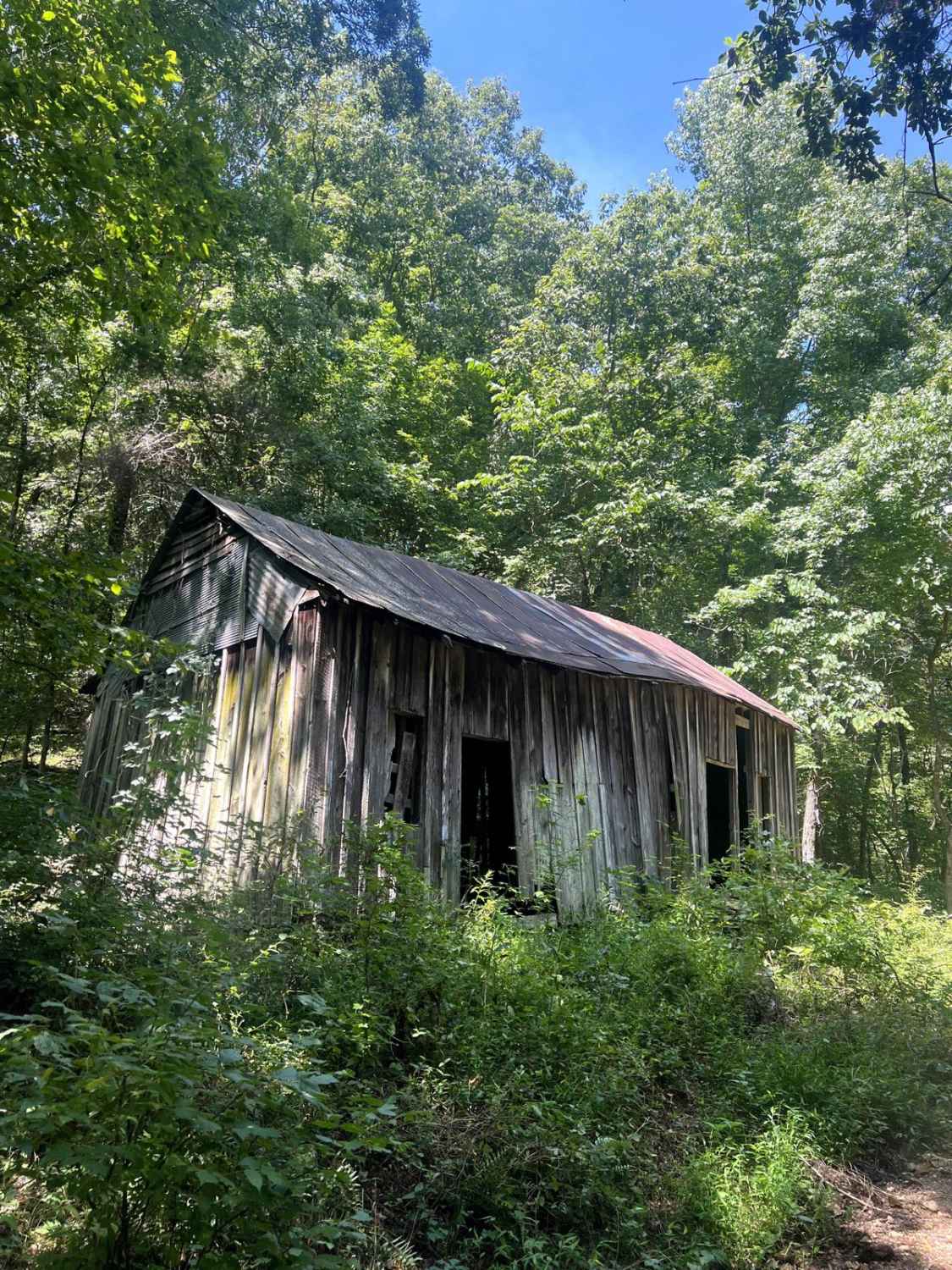
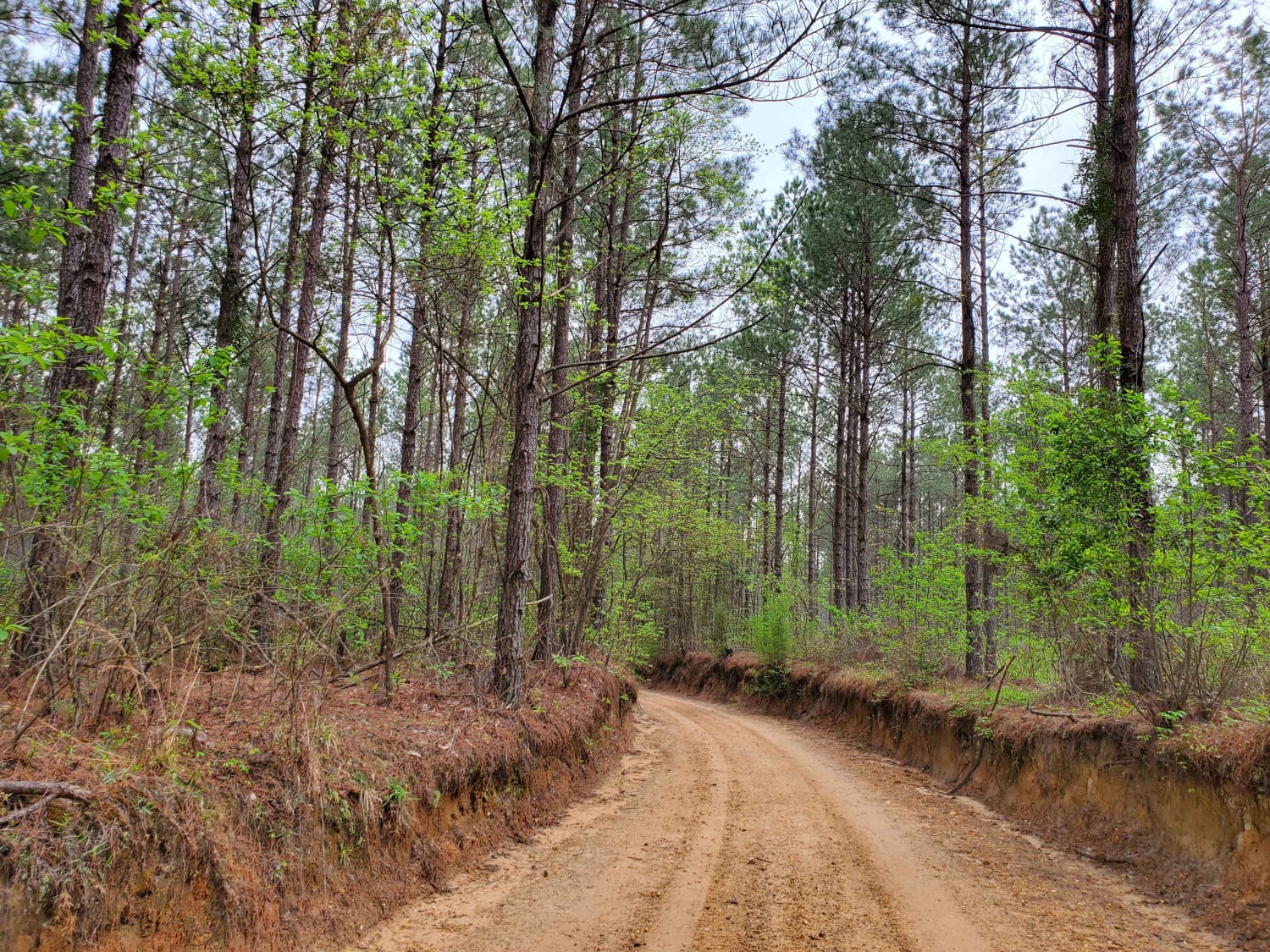
Trail Overview
This is a beautiful scenic drive from Snowball, Arkansas to Tylers Bend Campground at the Buffalo National River. The trail follows along the roads Searcy County 13, Gateway Road, and Peter Cave Road. The beautiful views of the Buffalo River and Ozarks surround you once you turn onto Peter Cave Road. Following Peter Cave Road there are several amazing camping spots close to the Buffalo River. There is one main water crossing that can get deep and it is right before you enter into Tylers Bend area. Calf Creek can get 4-5 feet deep depending on the rain the area has seen. It is also rocky creek bottom gravel. Beautiful history when driving through the area.
Photos of Tylers Bend View

Difficulty
The roads are fairly normal dirt roads. Depending on your experience this will be an easy drive to everyone. The one main obstacle to this trail is the water crossing at the very end (Calf Creek) Please be aware of current water levels and always, leave no trace!
History
The history behind the Buffalo National River is absolutely beautiful. Being the first National River in the United States makes this river something extremely special for Arkansas and the U.S. Almost being damed multiple times, this river would not be what it is today without the wonderful people that fight for it.
Status Reports
Tylers Bend View can be accessed by the following ride types:
- High-Clearance 4x4
- SUV
Tylers Bend View Map
Popular Trails
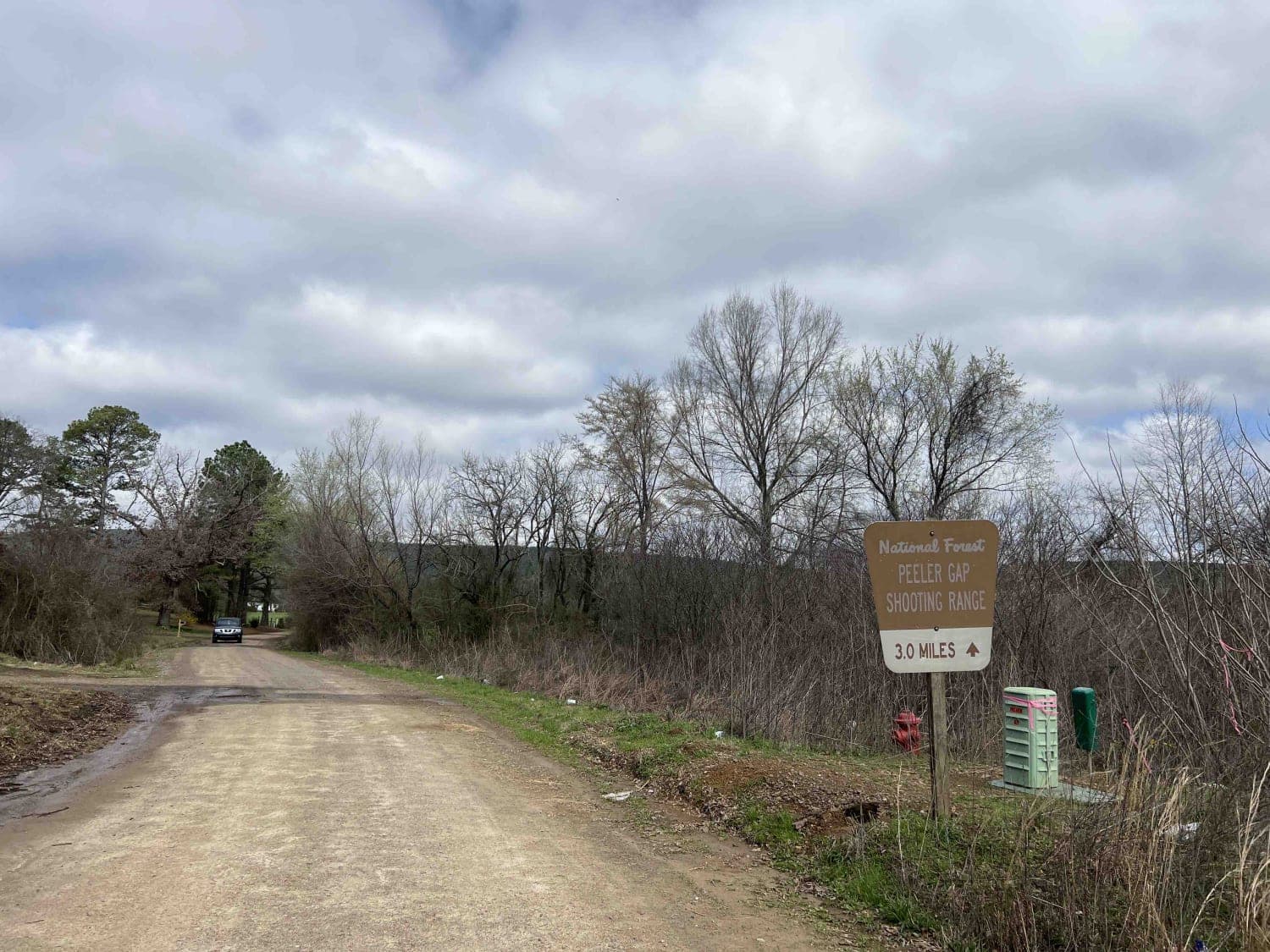
Peeler Gap Shooting Range
The Arkansas Overland Route - Section 5 - Highway 76 to Highway 278
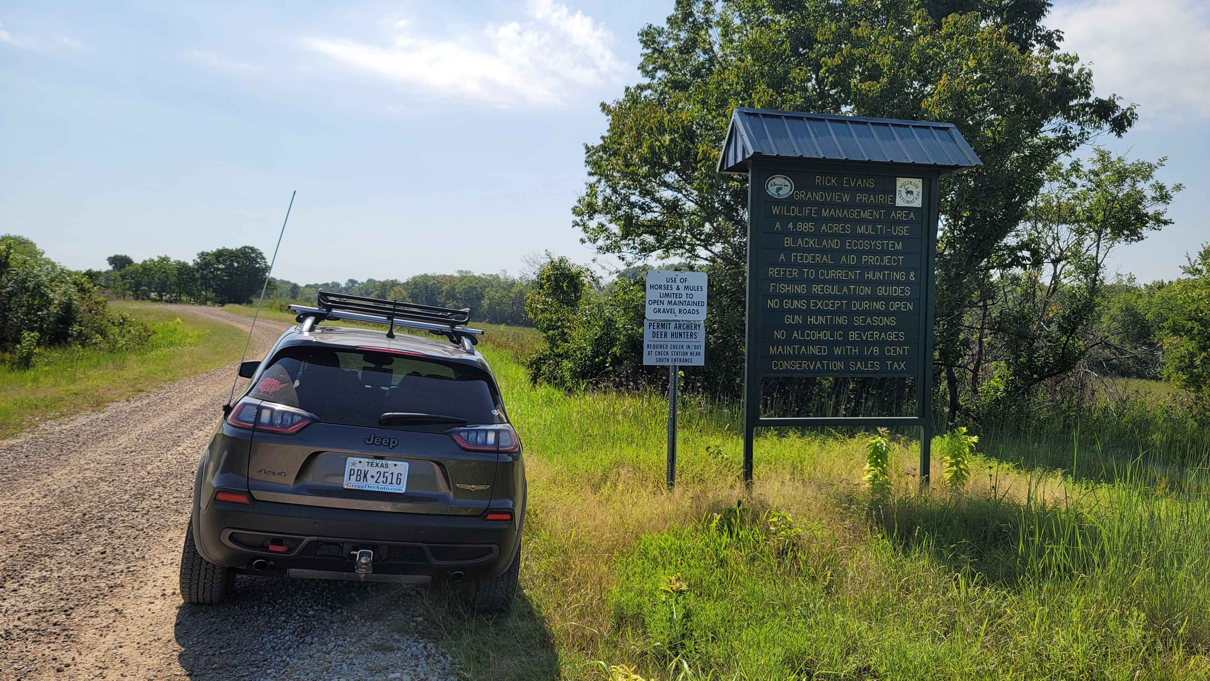
Rick Evans Grandview Prairie WMA Auto Route
The onX Offroad Difference
onX Offroad combines trail photos, descriptions, difficulty ratings, width restrictions, seasonality, and more in a user-friendly interface. Available on all devices, with offline access and full compatibility with CarPlay and Android Auto. Discover what you’re missing today!