Striking Snake Route
Total Miles
5.7
Technical Rating
Best Time
Spring, Summer, Fall
Trail Type
Full-Width Road
Accessible By
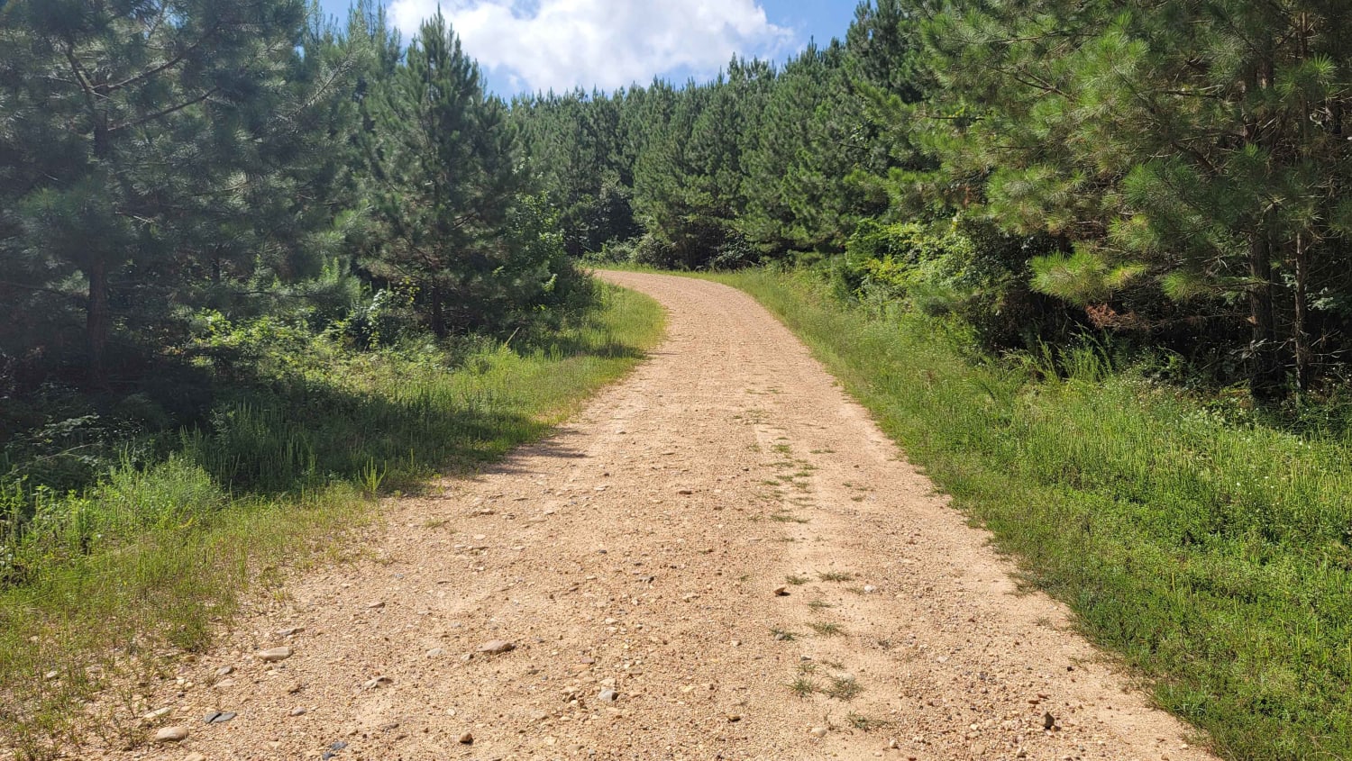
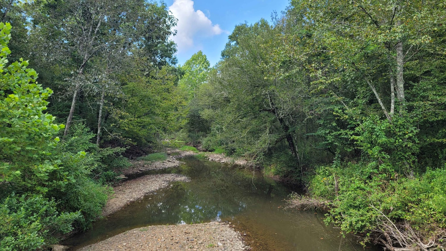
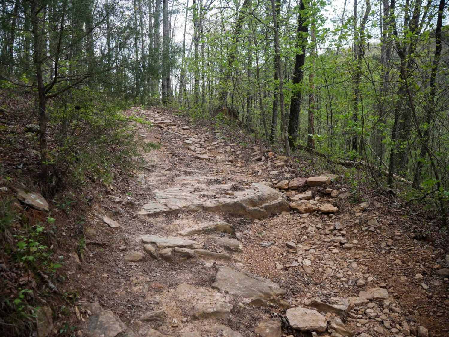
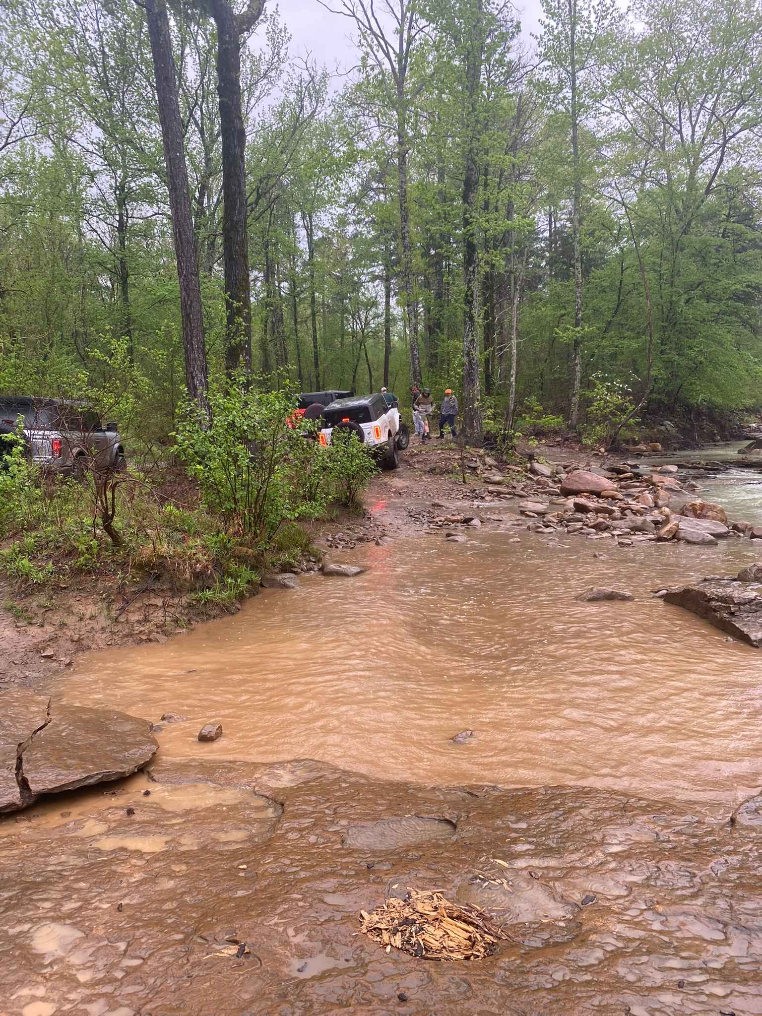
Trail Overview
Loose Gravel roads with a few small stream crossings. Concrete bridges cover most of the streams that will be crossed. During heavy rain some areas could be blocked. There are some nice inclines and beautiful views in this area.
Photos of Striking Snake Route
Difficulty
Loose gravel roads with some bigger rocks making for a rough ride. A few concrete bridges crossing streams. There are a few low places that can have water over the road. During or after a rain the road can become sloppy and possibly flooded in some areas.
Status Reports
Striking Snake Route can be accessed by the following ride types:
- High-Clearance 4x4
- SUV
- Dirt Bike
Striking Snake Route Map
Popular Trails

Gap Hollow Spur South 2
Huckleberry Mountain Orange - FS 2612

F7 Gadsden Flag
The onX Offroad Difference
onX Offroad combines trail photos, descriptions, difficulty ratings, width restrictions, seasonality, and more in a user-friendly interface. Available on all devices, with offline access and full compatibility with CarPlay and Android Auto. Discover what you’re missing today!