Polk Road
Total Miles
5.9
Technical Rating
Best Time
Summer, Fall, Winter, Spring
Trail Type
Full-Width Road
Accessible By
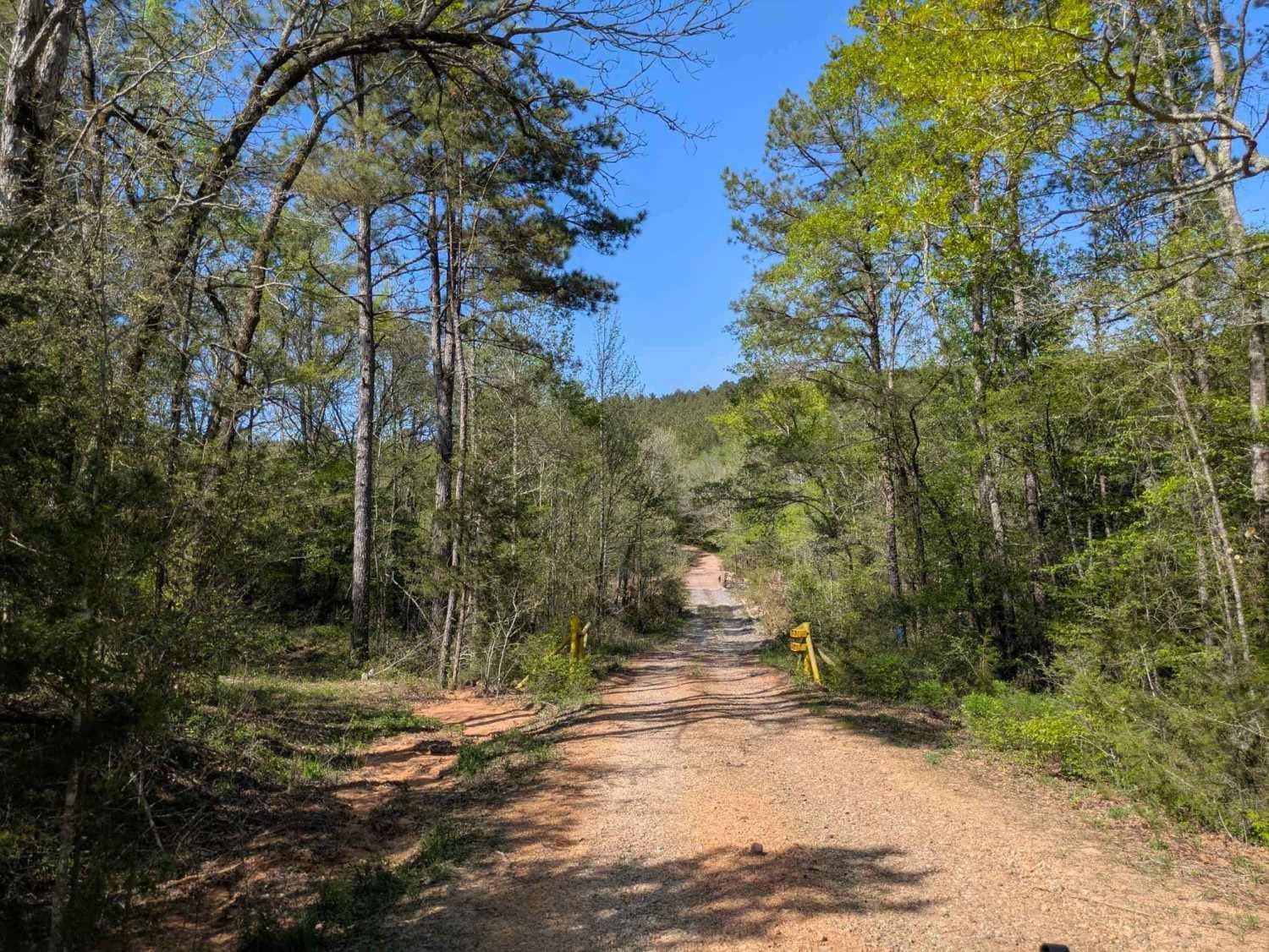
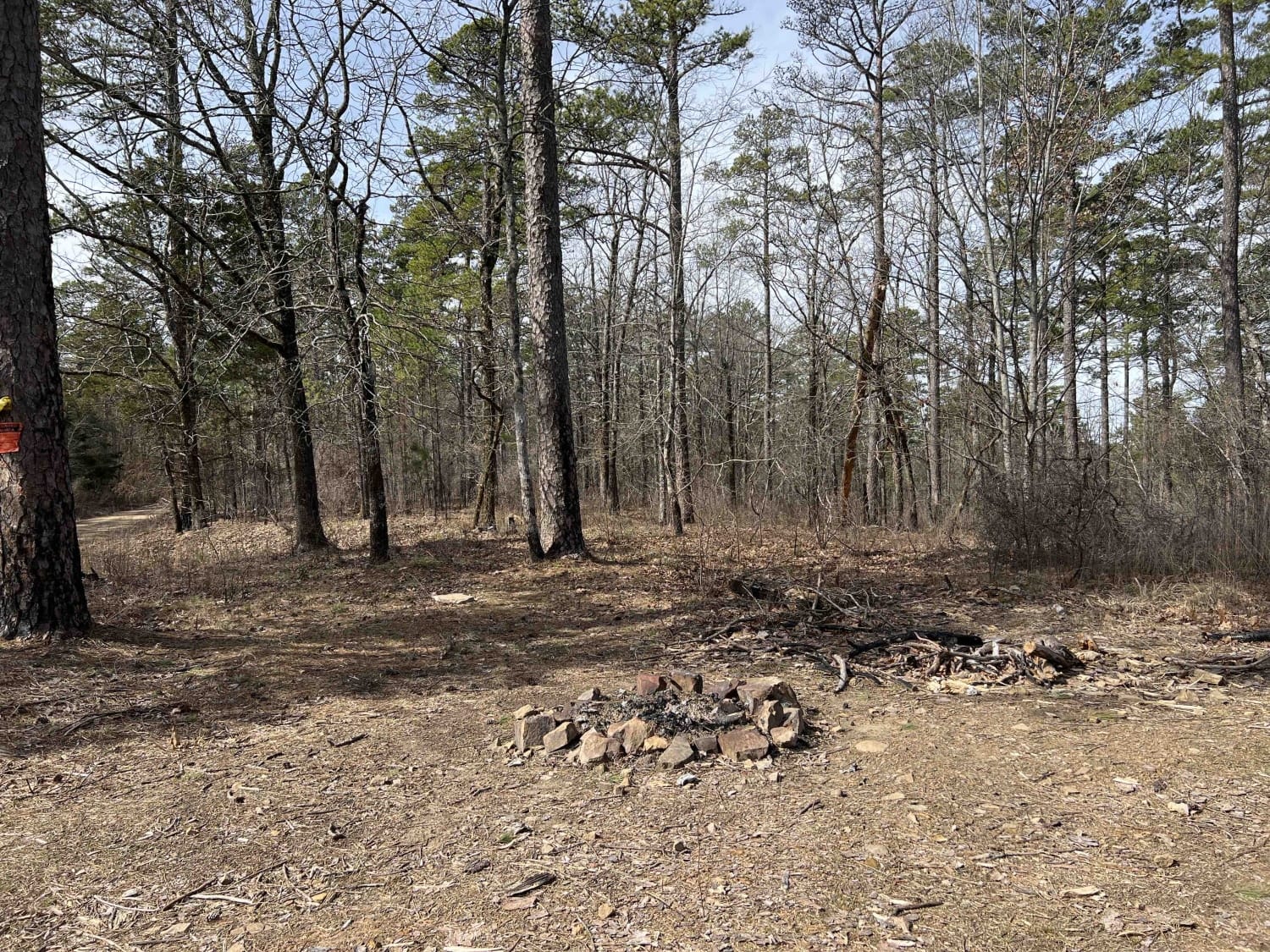
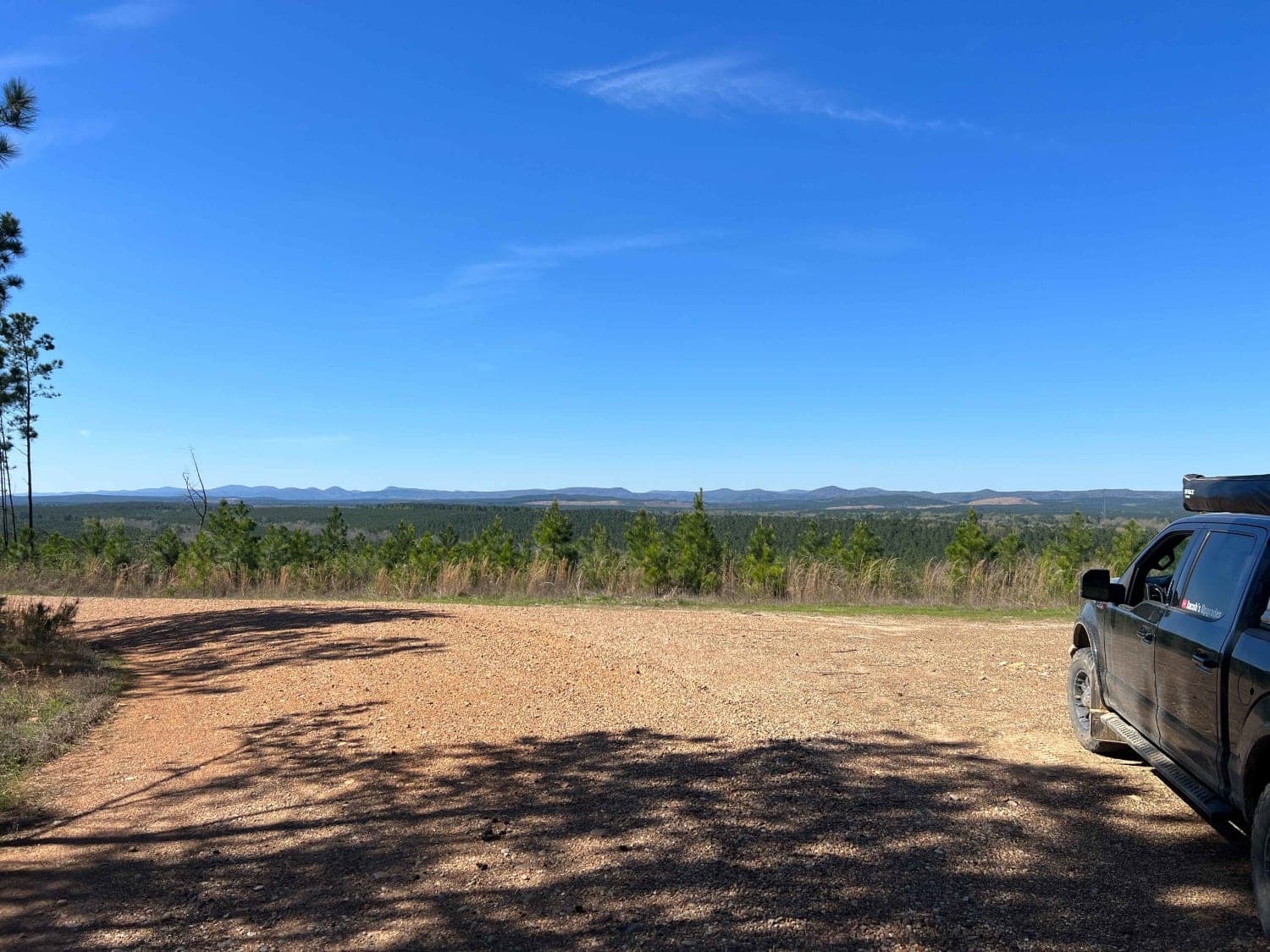
Trail Overview
This trail begins high in the mountainous forest and descends into lush, green farmland, eventually leading to Route 4, which connects to the towns of Wickes and Vandervoort. It serves as an active logging route and follows a wide, generally well-maintained gravel road, though sections can be rocky and winding. The drive is especially scenic as it transitions from dense woodland to open pastoral landscapes. While numerous side trails branch off along the way and may offer potential for overnight dispersed camping, there are no established amenities such as trash disposal or water sources. Some gates along the route may be locked, so travelers should be prepared to backtrack if necessary. Cell service is limited for most of the trail.
Photos of Polk Road

Difficulty
This is a well-maintained logger's road that has some debris strewn on it at times, with some water crossings.
Polk Road can be accessed by the following ride types:
- High-Clearance 4x4
- SUV
- SxS (60")
- ATV (50")
- Dirt Bike
Polk Road Map
Popular Trails
Long Mountain 76

F53 Saddle Side

Pannell Road
Rock Creek to Pine Ridge
The onX Offroad Difference
onX Offroad combines trail photos, descriptions, difficulty ratings, width restrictions, seasonality, and more in a user-friendly interface. Available on all devices, with offline access and full compatibility with CarPlay and Android Auto. Discover what you’re missing today!