Pannell Road
Total Miles
5.0
Technical Rating
Best Time
Winter, Fall, Summer, Spring
Trail Type
Full-Width Road
Accessible By
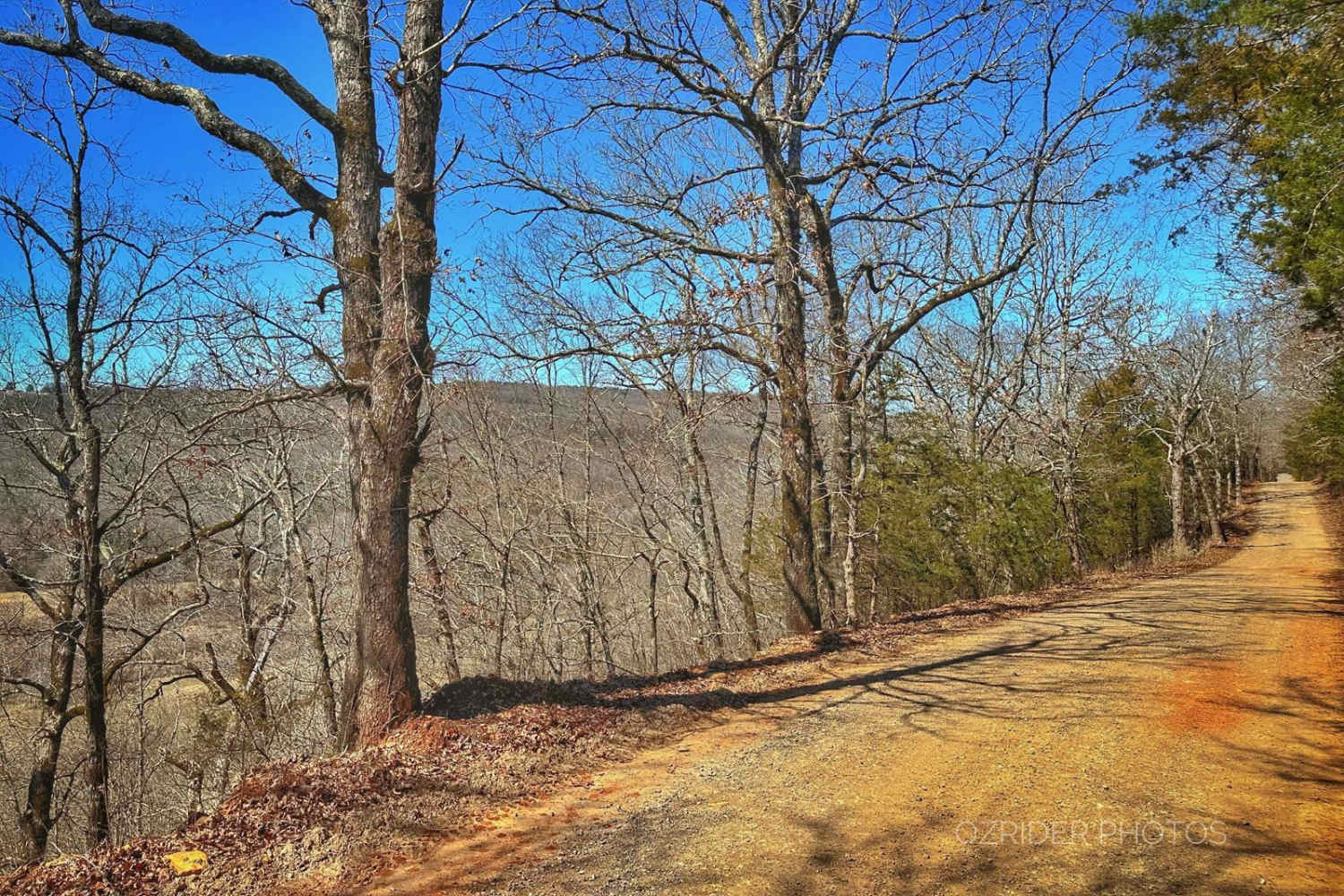
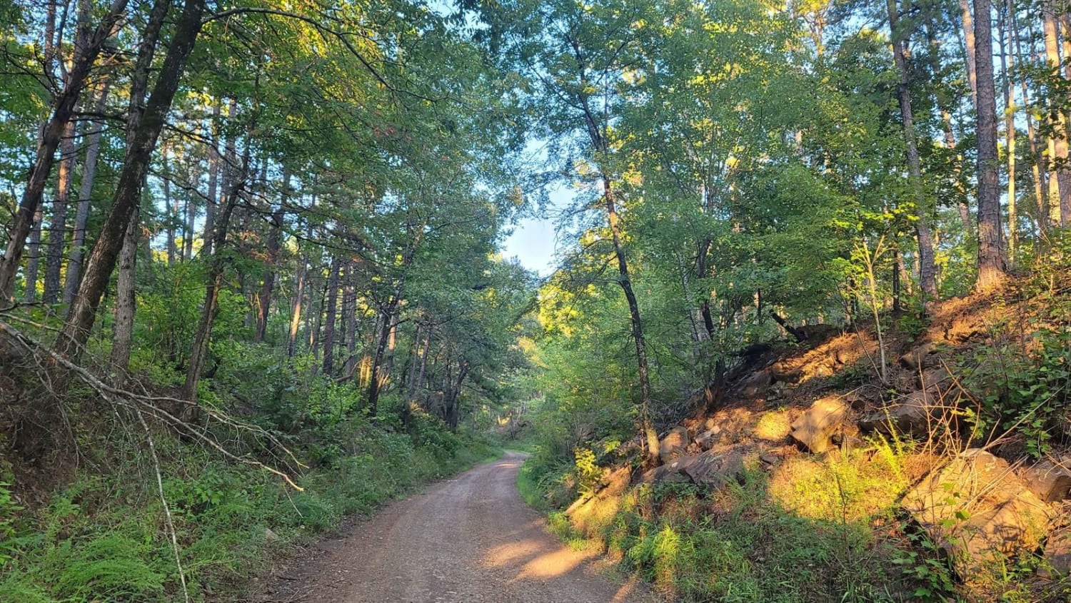
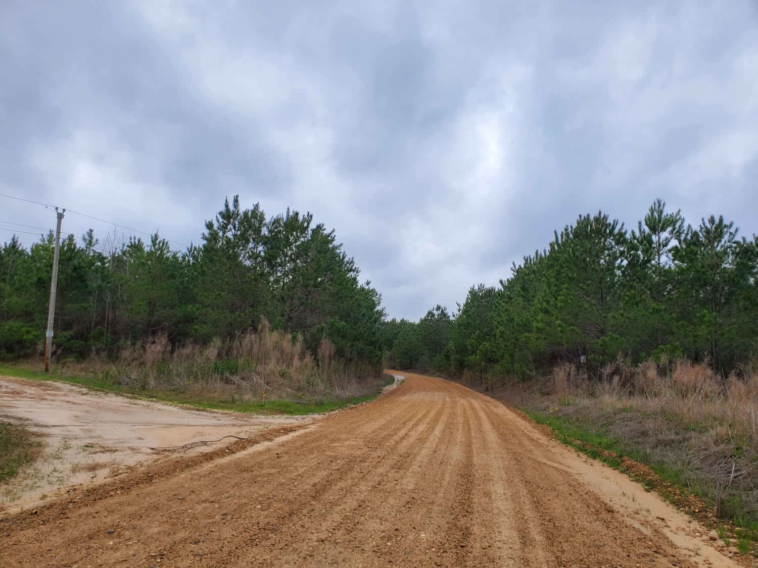
Trail Overview
On each end of this trail is a lovely, winding, gravel/dirt road, but in the middle, for a little over a mile, is a rocky and rutted trail with rocky, vertical ledges as high as 28 inches tall. Several bypass routes are the most challenging obstacles, but 32" tires and rock sliders are recommended. The heavily wooded area and the south end have views overlooking Cove Creek. Expect some mud in the wet seasons but no deep holes. Most of the trail goes through the National Forest, but on the south end, there is quite a bit of private property, so please be mindful of property lines and stay on the trail. A few dispersed campsites and other intersecting trails can be found at the north ends, but no campgrounds or bathrooms.
Photos of Pannell Road

Difficulty
Boulders including vertical rock ledges. Short, steep and off camber grades.
Status Reports
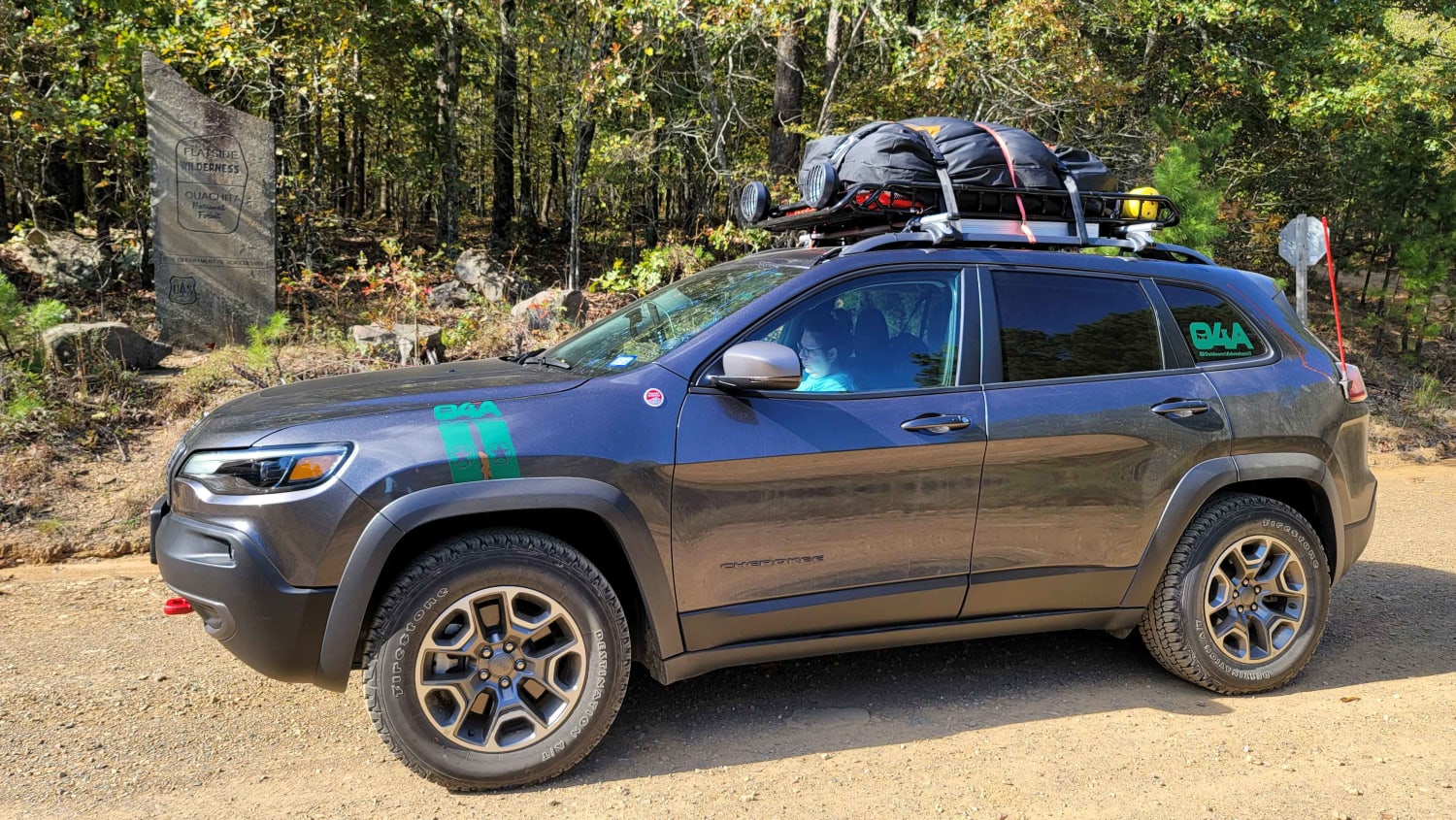
Pannell Road can be accessed by the following ride types:
- High-Clearance 4x4
- SUV
- SxS (60")
- ATV (50")
- Dirt Bike
Pannell Road Map
Popular Trails
Lake Sylvia to Winona Lake and HWY9

Bill's Branch Road
Seasonal Camp
Highway 24 to Poison Springs WMA
The onX Offroad Difference
onX Offroad combines trail photos, descriptions, difficulty ratings, width restrictions, seasonality, and more in a user-friendly interface. Available on all devices, with offline access and full compatibility with CarPlay and Android Auto. Discover what you’re missing today!