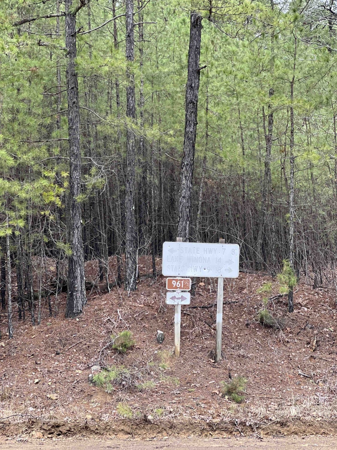
Owens Ward Road
Total Miles
1.1
Technical Rating
Best Time
Spring, Summer, Fall, Winter
Trail Type
Full-Width Road
Accessible By
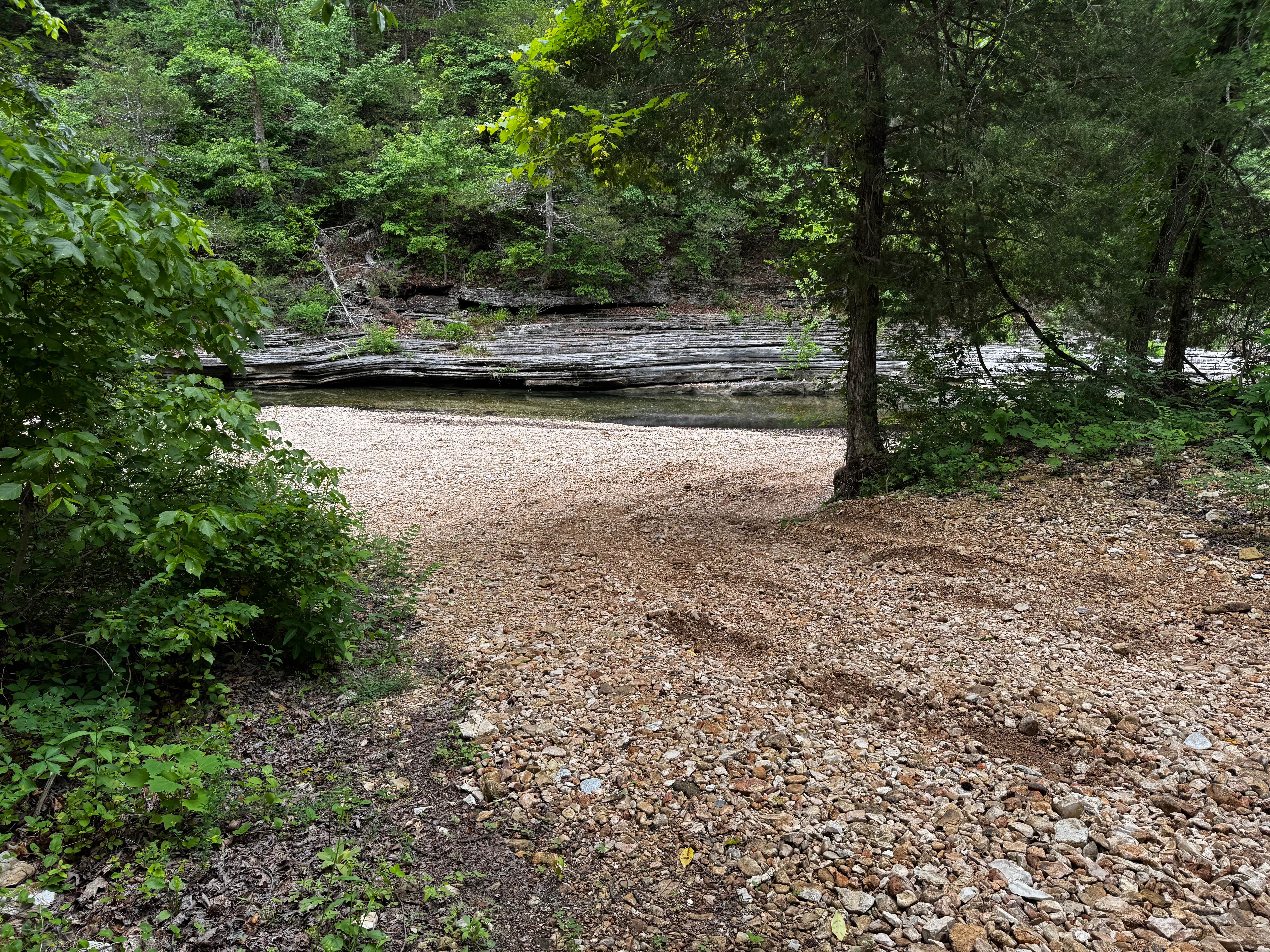
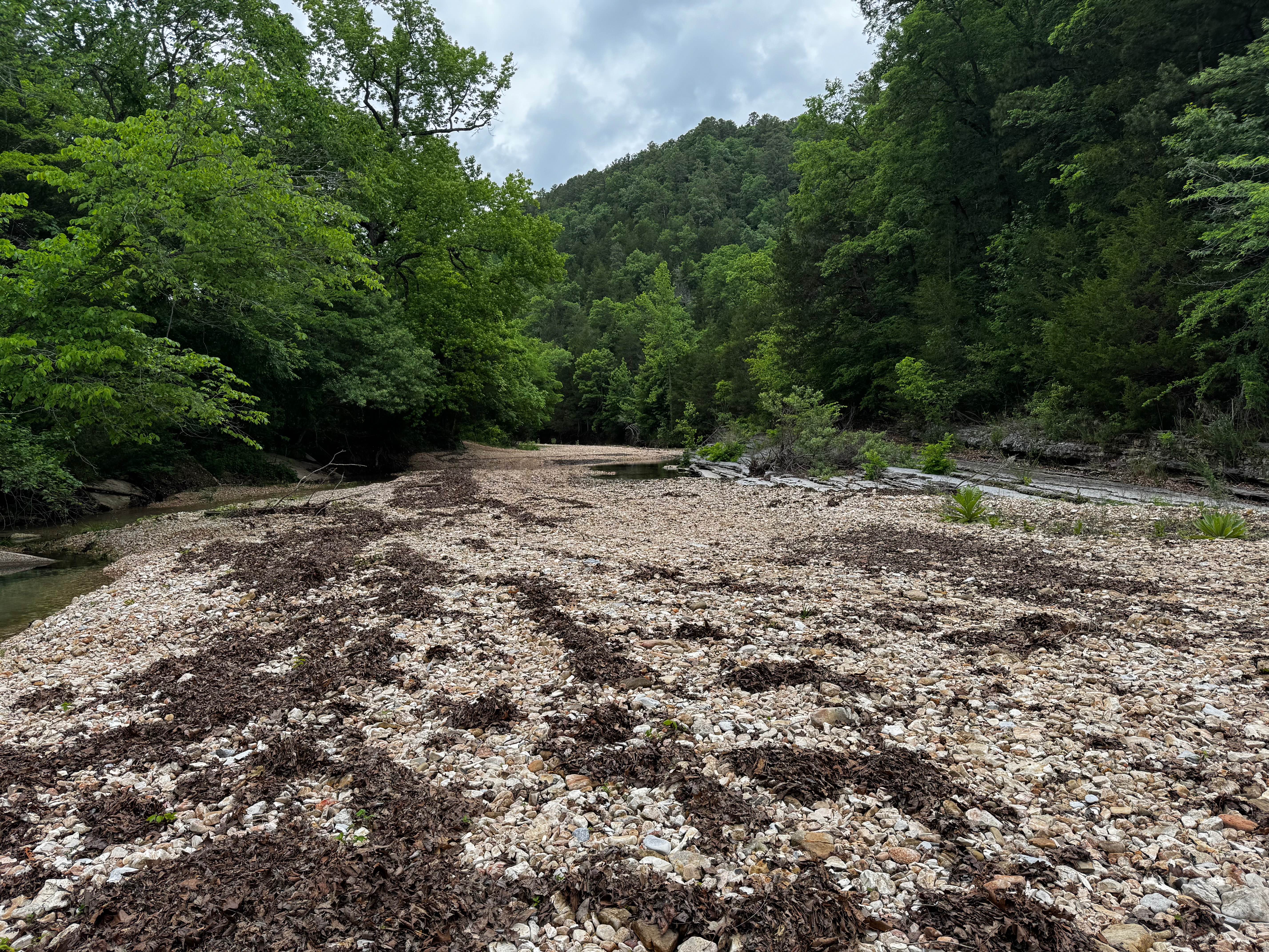
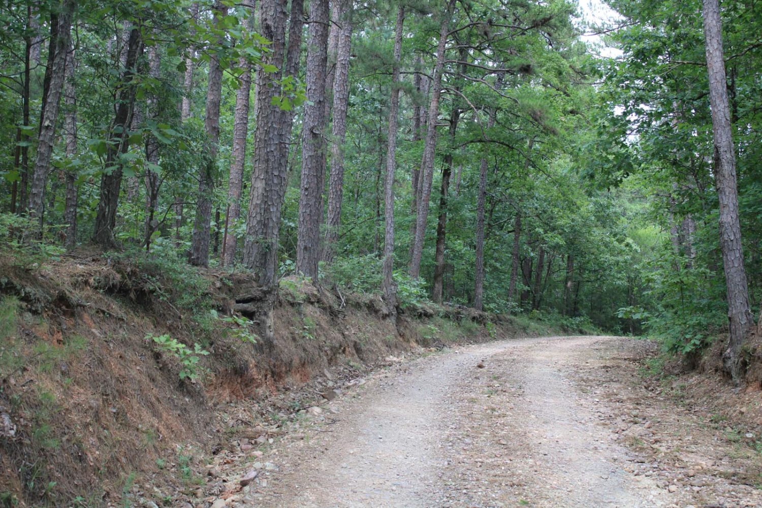
Trail Overview
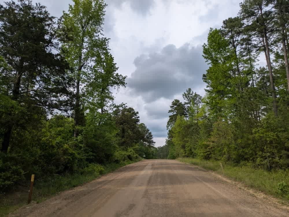
This route offers an easy scenic drive through a quiet section of the Ozark National Forest. The well-maintained gravel road winds through dense forest, shaded creek bottoms, and rolling hillsides. Along the way, the route passes the historic Stevens Roasting Ear Cemetery, adding to the remote Ozark atmosphere. The route also drops into the Roasting Ear Creek bed with shallow water, and large gravel bars that make for a scenic stop. There are no major obstacles, making this a great route for those looking for a relaxing backcountry drive.
Photos of Owens Ward Road
Difficulty
This is an easy, well-maintained forest route with no major technical obstacles. The gravel surface is smooth overall, with the only notable feature being the shallow creek access and loose rock within the creek bed.
History
The roads throughout this region were originally established for logging, mining, homestead access, and fire management long before recreational off-roading became popular. Portions of the surrounding Buffalo National River area contain deep ties to Ozark pioneer history, including old settlements, abandoned homesites, family cemeteries, and former mining operations dating back to the late 1800s and early 1900s. The nearby Rush Historic District was once one of the largest zinc mining communities in Arkansas during the early 20th century. Many of the ridge roads and hollows drivers travel today follow paths historically used by miners, loggers, ranchers, and local residents navigating the rugged Ozark terrain long before modern highways existed.
Status Reports
Owens Ward Road can be accessed by the following ride types:
- High-Clearance 4x4
- SUV
Owens Ward Road Map
Popular Trails
Alum Experiment Road 962

Gillham Lake Road
Exit to Tabor Mountain Road
Rich Mountain Road
The onX Offroad Difference
onX Offroad combines trail photos, descriptions, difficulty ratings, width restrictions, seasonality, and more in a user-friendly interface. Available on all devices, with offline access and full compatibility with CarPlay and Android Auto. Discover what you’re missing today!