North Mill Creek
Total Miles
2.3
Technical Rating
Best Time
Spring, Summer, Fall, Winter
Trail Type
Full-Width Road
Accessible By
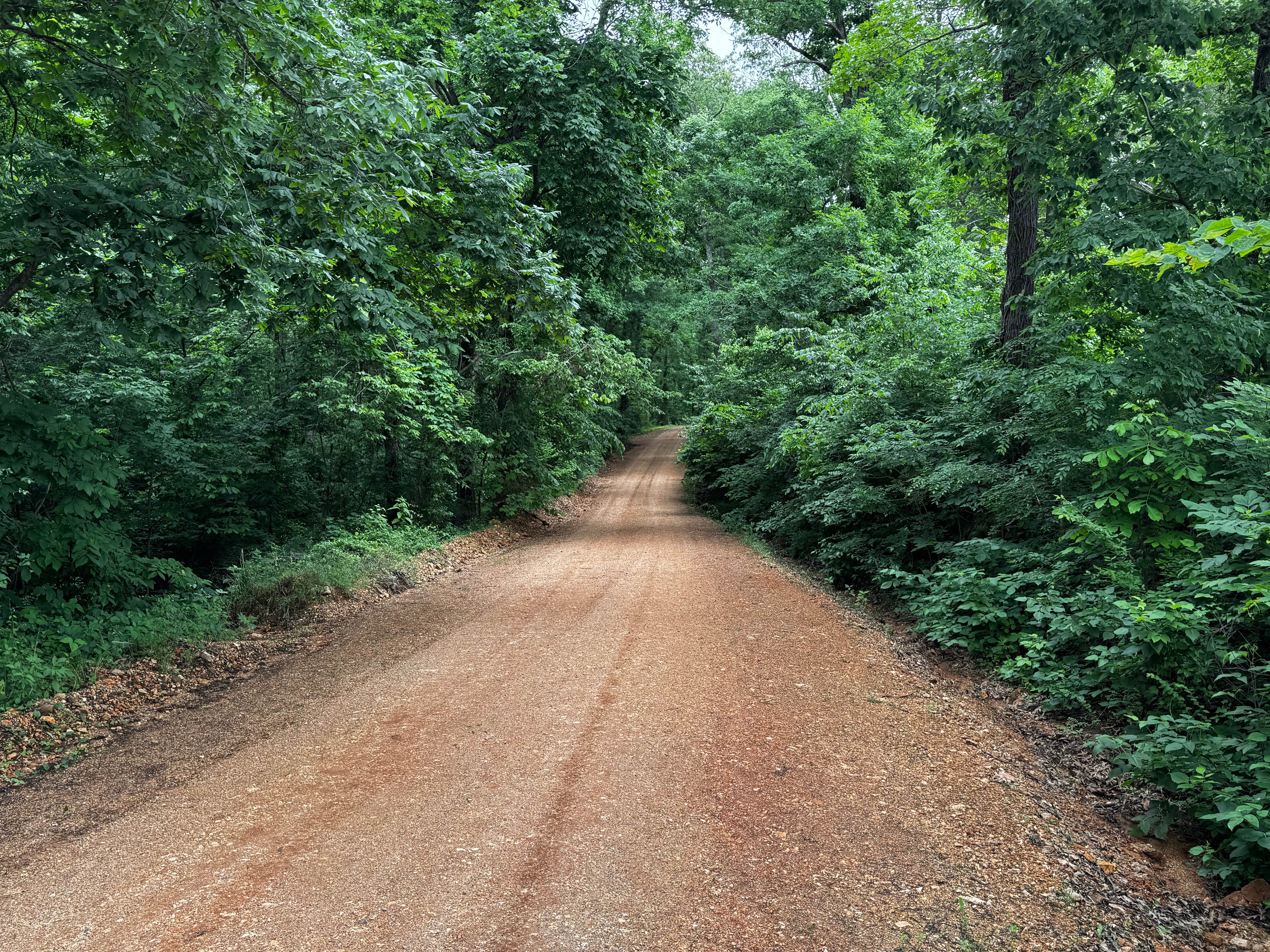
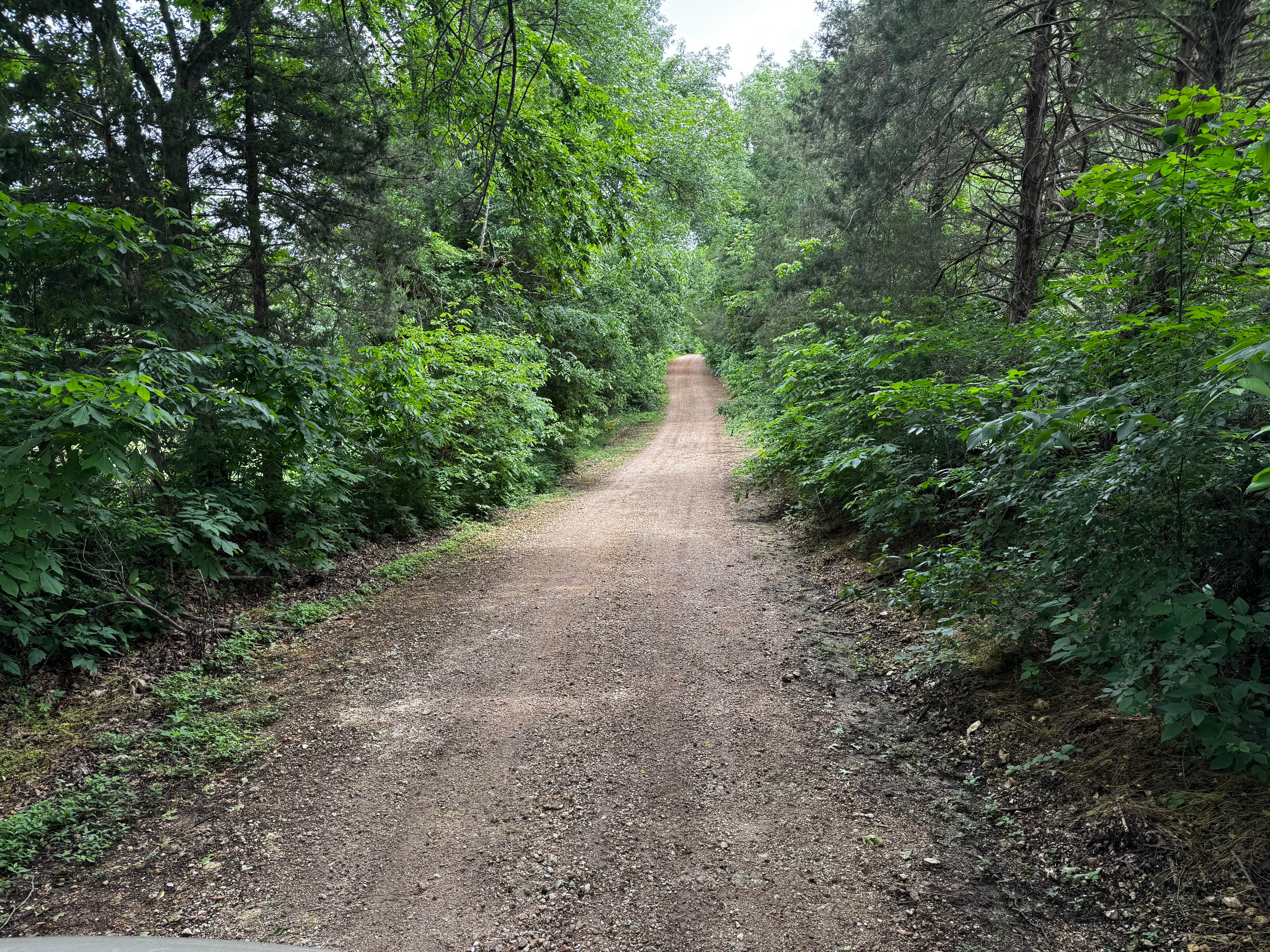
Trail Overview
This route follows a well-maintained gravel road winding through dense hardwood forest and rolling Ozark terrain. Tall trees and thick green vegetation surround the roadway for nearly the entire drive, creating a tunnel-like atmosphere in many sections. The gravel surface is generally smooth and wide enough for two vehicles to pass comfortably, though some stretches narrow slightly as the road curves through the hills. Near the highway side of the route, the terrain begins to open slightly around the bluffs, offering elevated views through the trees and giving a better sense of the surrounding landscape.
Photos of North Mill Creek
Difficulty
The surface is generally smooth and suitable for most vehicles. The road remains wide through much of the route, making it comfortable for passing and maneuvering.
History
The roads throughout this region were originally established for logging, mining, homestead access, and fire management long before recreational off-roading became popular. Portions of the surrounding Buffalo National River area contain deep ties to Ozark pioneer history, including old settlements, abandoned homesites, family cemeteries, and former mining operations dating back to the late 1800s and early 1900s. The nearby Rush Historic District was once one of the largest zinc mining communities in Arkansas during the early 20th century. Many of the ridge roads and hollows drivers travel today follow paths historically used by miners, loggers, ranchers, and local residents navigating the rugged Ozark terrain long before modern highways existed.
Status Reports
North Mill Creek can be accessed by the following ride types:
- High-Clearance 4x4
- SUV
North Mill Creek Map
Popular Trails

E28 Dozer Hill
Boggy Creek Monster Trail

Compass Canyon F41

Bois D'Ark WMA from HWY 67
The onX Offroad Difference
onX Offroad combines trail photos, descriptions, difficulty ratings, width restrictions, seasonality, and more in a user-friendly interface. Available on all devices, with offline access and full compatibility with CarPlay and Android Auto. Discover what you’re missing today!