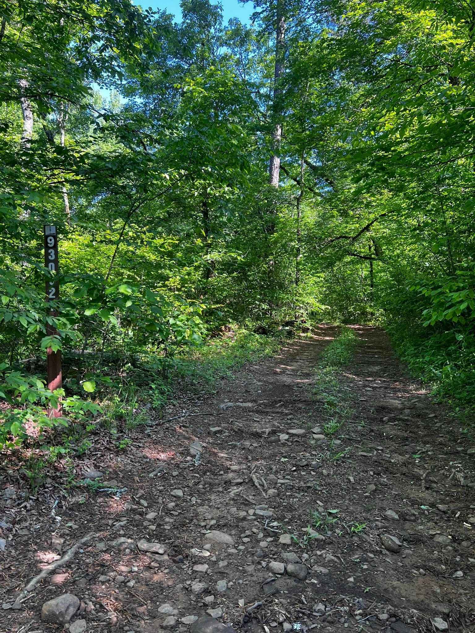
NFS 93052F
Total Miles
1.2
Technical Rating
Best Time
Spring, Fall, Winter
Trail Type
High-Clearance 4x4 Trail
Accessible By
Trail Overview
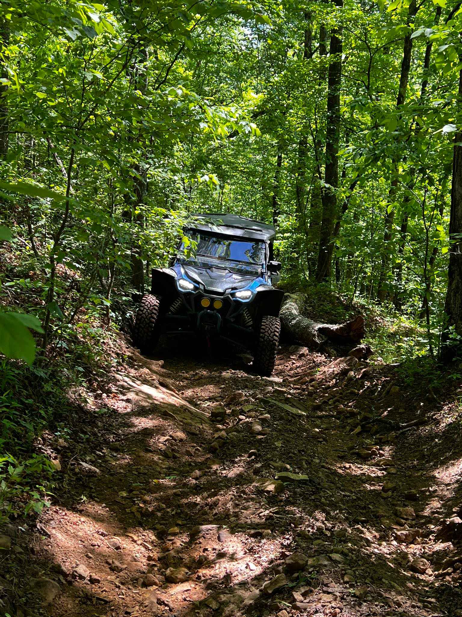
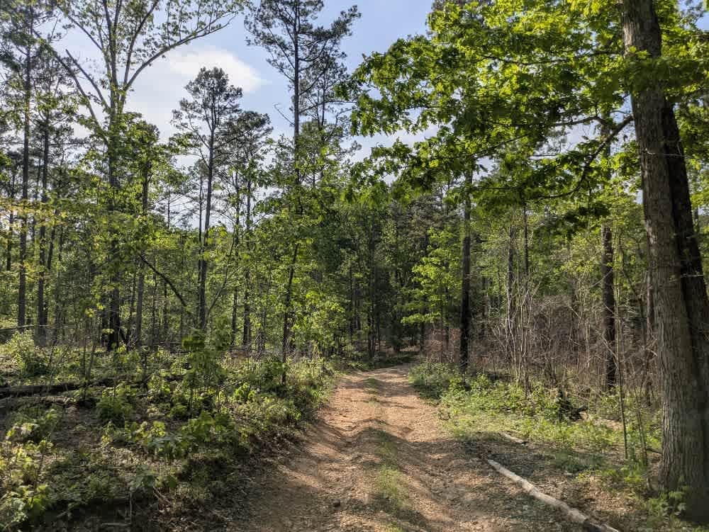
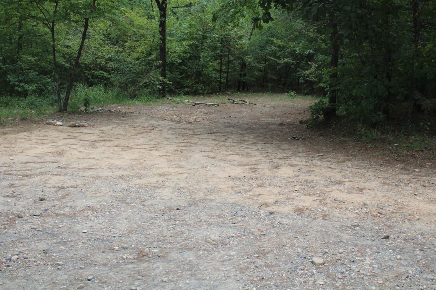
NFS 93052F begins at the intersection of 1322 and 93053A. Crossing Mill Creek at the start of the first of three crossings, as the trail parallels the creek with a few mud holes. These crossings are shallow most of the year, and in late summer can be nonexistent. Fall and spring can bring the water levels up, and after spring storms, it can be dangerous. After the last creek crossing, the trail starts a steep climb. This is the best part of the trail. Narrow, steep, and rocky with a steep drop to the west of the trail and no room to pass. Keeping the lights on will help rigs descending the hill to see you. There are ledges of 18" that angle across the trail. Expect pin stripping, as this is a narrow trail. The trail has some pretty cool rock features where Mill Creek has cut into the mountain. The trail ends where it intersects 93053A. High clearance 4x4 rigs are a must.
Photos of NFS 93052F
Difficulty
Off-camber, steep grade, loose rock, and ledges.
Status Reports
NFS 93052F can be accessed by the following ride types:
- High-Clearance 4x4
- SxS (60")
- ATV (50")
- Dirt Bike
NFS 93052F Map
Popular Trails

Bee Branch Road
Harker Valley Road
Polk 410 Stream & Camp
The onX Offroad Difference
onX Offroad combines trail photos, descriptions, difficulty ratings, width restrictions, seasonality, and more in a user-friendly interface. Available on all devices, with offline access and full compatibility with CarPlay and Android Auto. Discover what you’re missing today!