Merrill Ridge
Total Miles
6.6
Technical Rating
Best Time
Spring, Summer, Winter, Fall
Trail Type
Full-Width Road
Accessible By
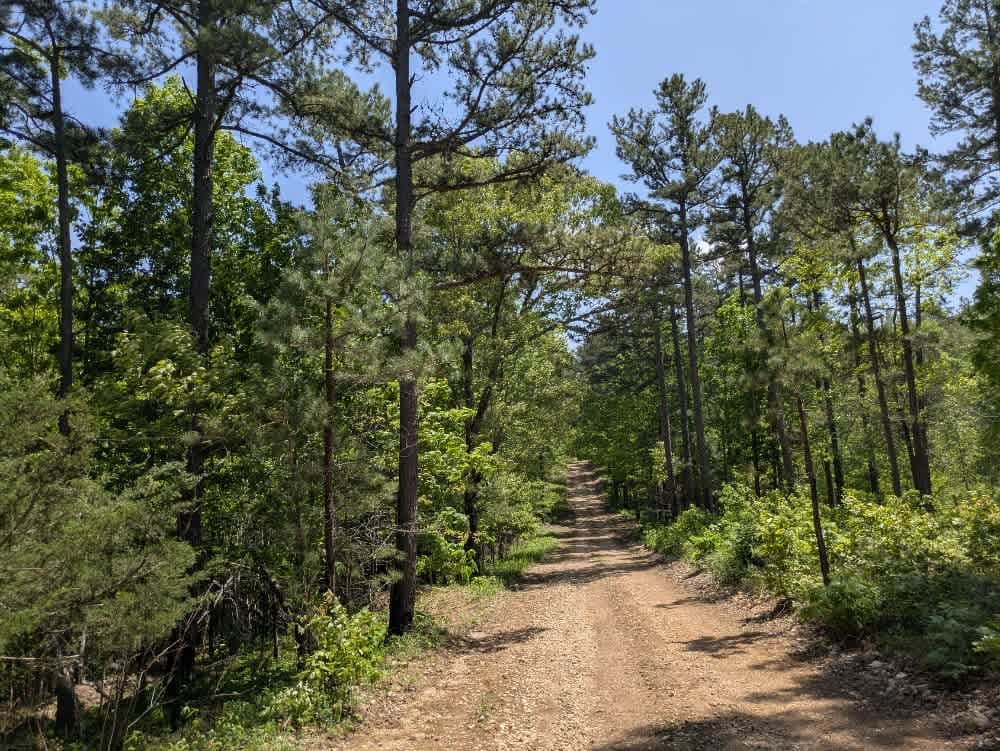
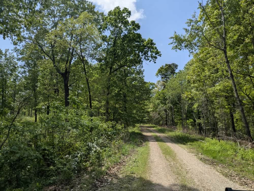
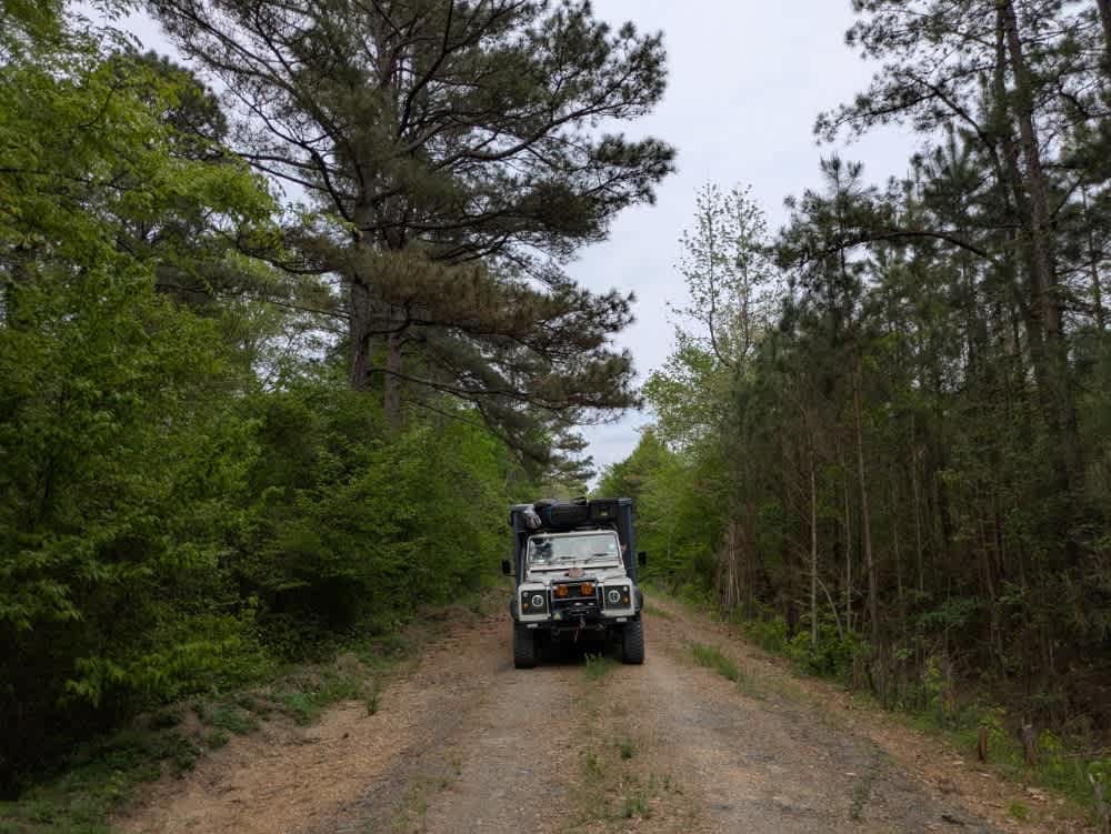
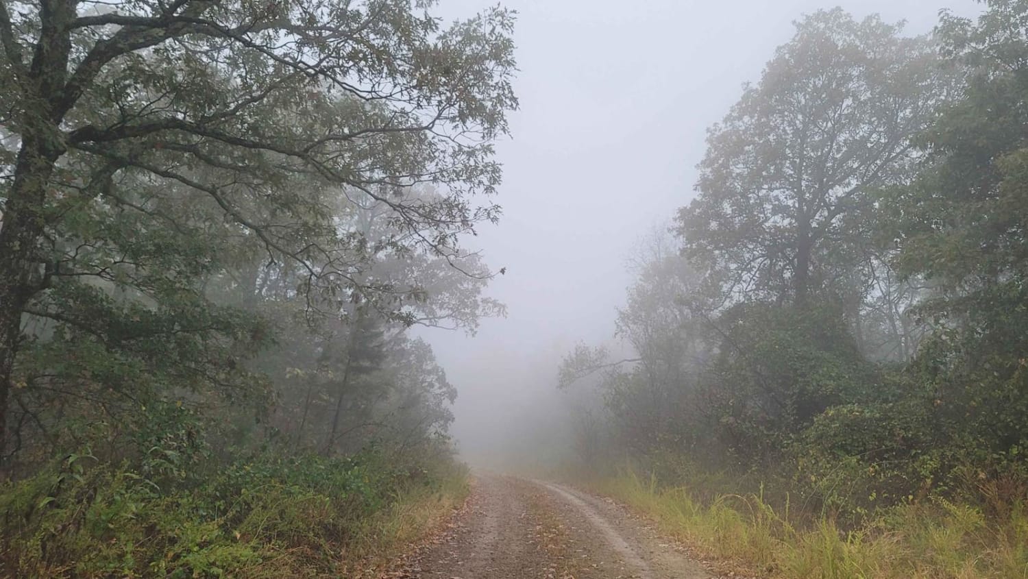
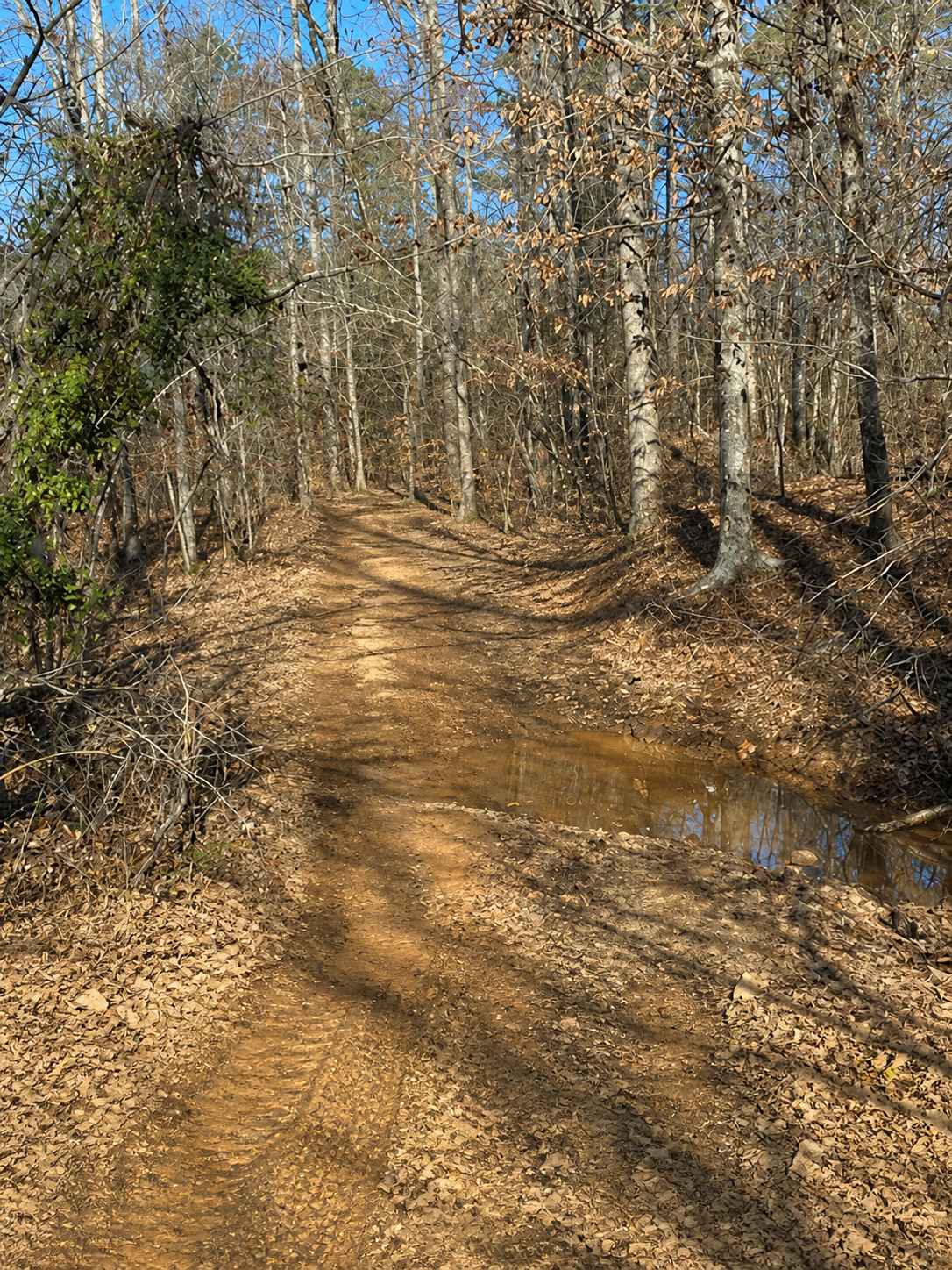
Trail Overview
This narrow trail features a grassy center and winds gently through a beautiful forest landscape. While mostly smooth, it does have some bumpy sections that require attention. Numerous offshoots and smaller trails invite further exploration, and the area appears to be a popular spot for local hunters. Dispersed campsites are common along the route, ranging from small clearings to larger sites suitable for groups. The trail ends at a closed gate beside a level, grassy clearing that makes for an ideal camping spot. However, the area offers no amenities such as trash disposal or water, though cell service is generally reliable.
Photos of Merrill Ridge
Difficulty
The trail is easy to traverse and is maintained with a few bumpy sections.
Status Reports
Merrill Ridge can be accessed by the following ride types:
- High-Clearance 4x4
- SUV
- SxS (60")
- ATV (50")
- Dirt Bike
Merrill Ridge Map
Popular Trails

J8 Dave's Way
Shooting Range
The onX Offroad Difference
onX Offroad combines trail photos, descriptions, difficulty ratings, width restrictions, seasonality, and more in a user-friendly interface. Available on all devices, with offline access and full compatibility with CarPlay and Android Auto. Discover what you’re missing today!