Lawrence road
Total Miles
2.9
Technical Rating
Best Time
Spring, Summer, Fall, Winter
Trail Type
Full-Width Road
Accessible By
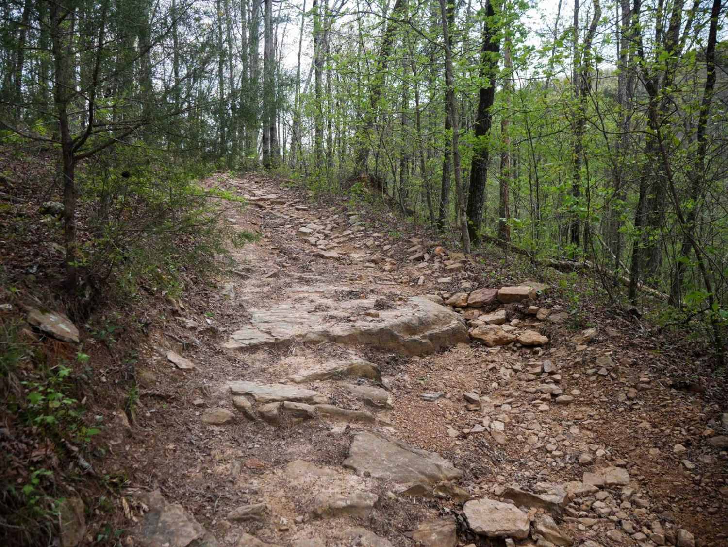
Trail Overview
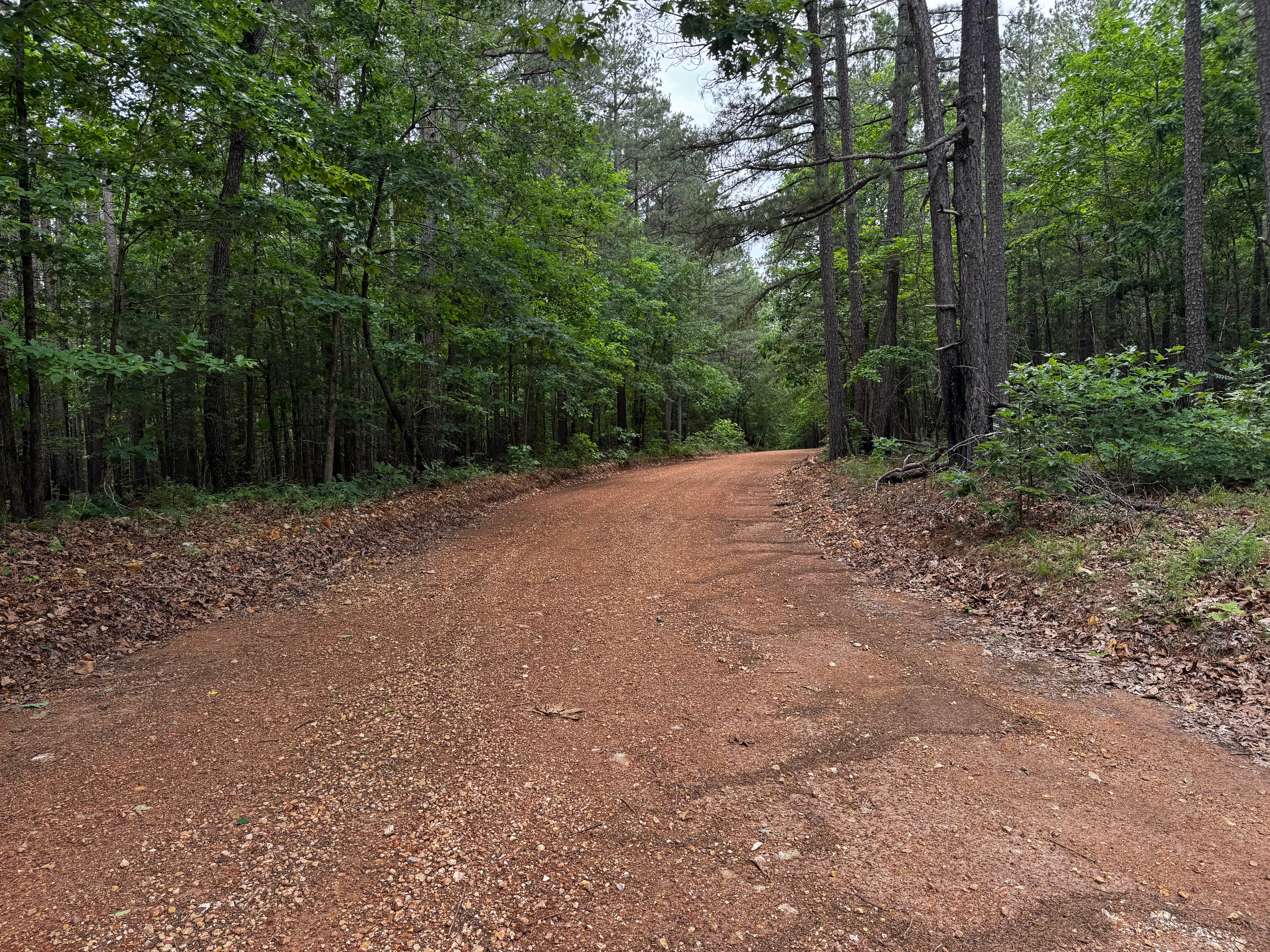
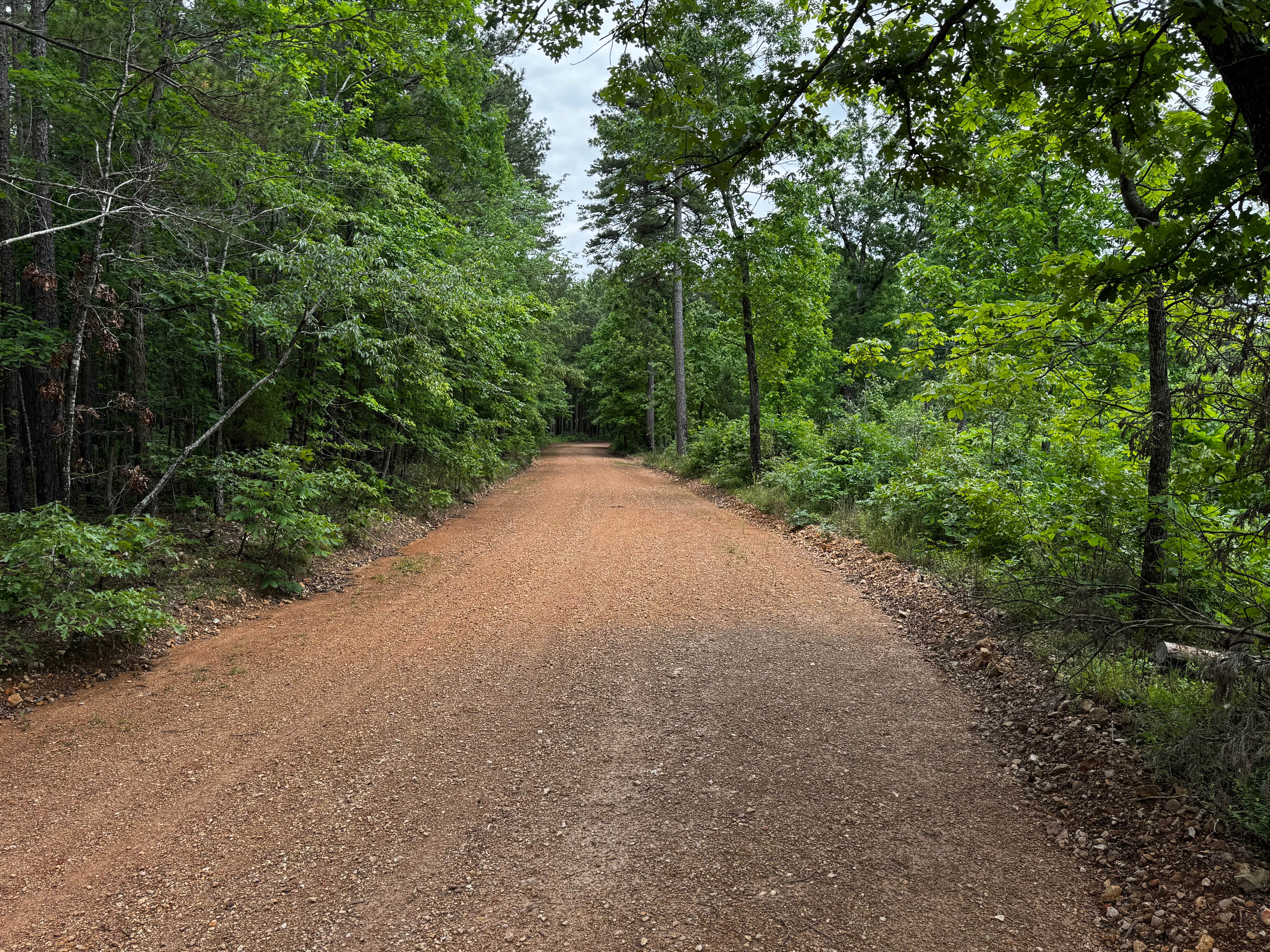
This route is a well-maintained gravel road winding through dense sections of the Ozark National Forest, surrounded by tall pines, hardwoods, and thick green undergrowth. The drive feels more scenic than technical, with wide gravel surfaces, gentle curves, and long stretches shaded by the forest canopy. Several areas open up slightly, giving brief views into clearings before the trail disappears back into the trees. There are no major obstacles or difficult terrain along the route, making it suitable for most stock high-clearance vehicles. One section passes near private residences, so slow speeds and respect for local property owners, children, and pets are important. The route eventually connects directly to Highway 263, making for an easy access point in or out of the forest.
Photos of Lawrence road
Difficulty
The road is wide, maintained, and suitable for most vehicles. Expect smooth gravel surfaces, gentle curves, and relaxing forest scenery rather than challenging terrain. Drivers should remain cautious near the residential section of the route and watch for children or pets near the roadway.
History
The roads throughout this region were originally established for logging, mining, homestead access, and fire management long before recreational off-roading became popular. Portions of the surrounding Buffalo National River area contain deep ties to Ozark pioneer history, including old settlements, abandoned homesites, family cemeteries, and former mining operations dating back to the late 1800s and early 1900s. The nearby Rush Historic District was once one of the largest zinc mining communities in Arkansas during the early 20th century. Many of the ridge roads and hollows drivers travel today follow paths historically used by miners, loggers, ranchers, and local residents navigating the rugged Ozark terrain long before modern highways existed.
Status Reports
Lawrence road can be accessed by the following ride types:
- High-Clearance 4x4
- SUV
Lawrence road Map
Popular Trails

Copper Spring
Standing Rock
East Fork Illinois Bayou
Gap Hollow Spur South 2
The onX Offroad Difference
onX Offroad combines trail photos, descriptions, difficulty ratings, width restrictions, seasonality, and more in a user-friendly interface. Available on all devices, with offline access and full compatibility with CarPlay and Android Auto. Discover what you’re missing today!