J14
Total Miles
0.2
Technical Rating
Best Time
Spring, Summer, Fall, Winter
Trail Type
Full-Width Road
Accessible By
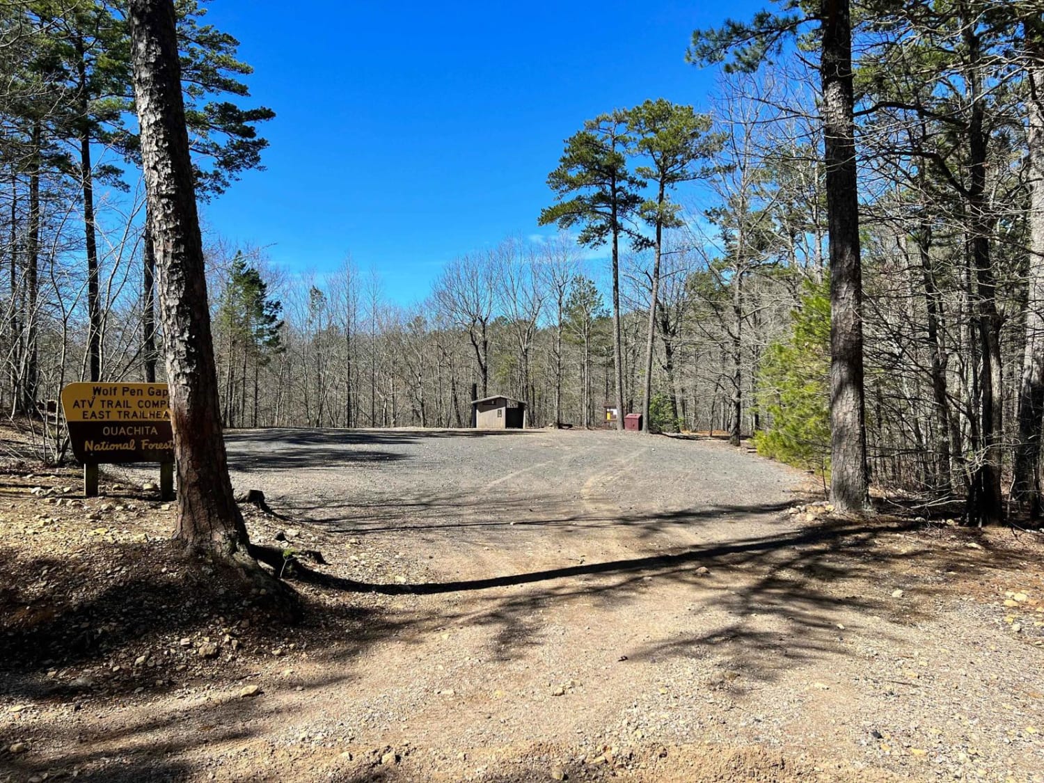
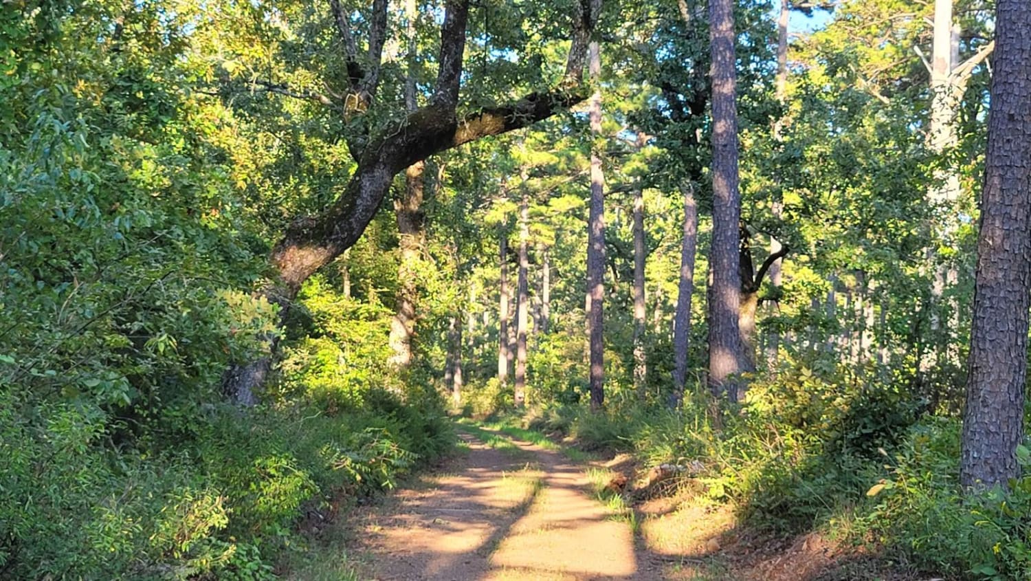
Trail Overview
J14 is a change of pace for the trails in this area. J14 is an easier "smooth like" trail that connects multiple trails. You can access J20, J21, J23, J26, J22, and J8 from J14. This trail has some small loose rocks but remains relatively flat. A Park Day-Use Trail Pass is required to access this system of trails. Cell service is spotty in places, and trail conditions can change quickly, especially during rainy or winter seasons.
Photos of J14


Difficulty
There is some loose rock, but this trail remains relatively flat. During some heavy rain, there could be a few big mud holes with hard bottoms.
Status Reports
J14 can be accessed by the following ride types:
- High-Clearance 4x4
- SUV
- SxS (60")
- ATV (50")
- Dirt Bike
J14 Map
Popular Trails
Wolf Pen Gap South Trail Head

F51 Bubba's Stump

Hibiscus Hollow
Dutch Mountain
The onX Offroad Difference
onX Offroad combines trail photos, descriptions, difficulty ratings, width restrictions, seasonality, and more in a user-friendly interface. Available on all devices, with offline access and full compatibility with CarPlay and Android Auto. Discover what you’re missing today!