Glade 1112C
Total Miles
1.0
Technical Rating
Best Time
Spring, Summer, Fall, Winter
Trail Type
Full-Width Road
Accessible By
Trail Overview
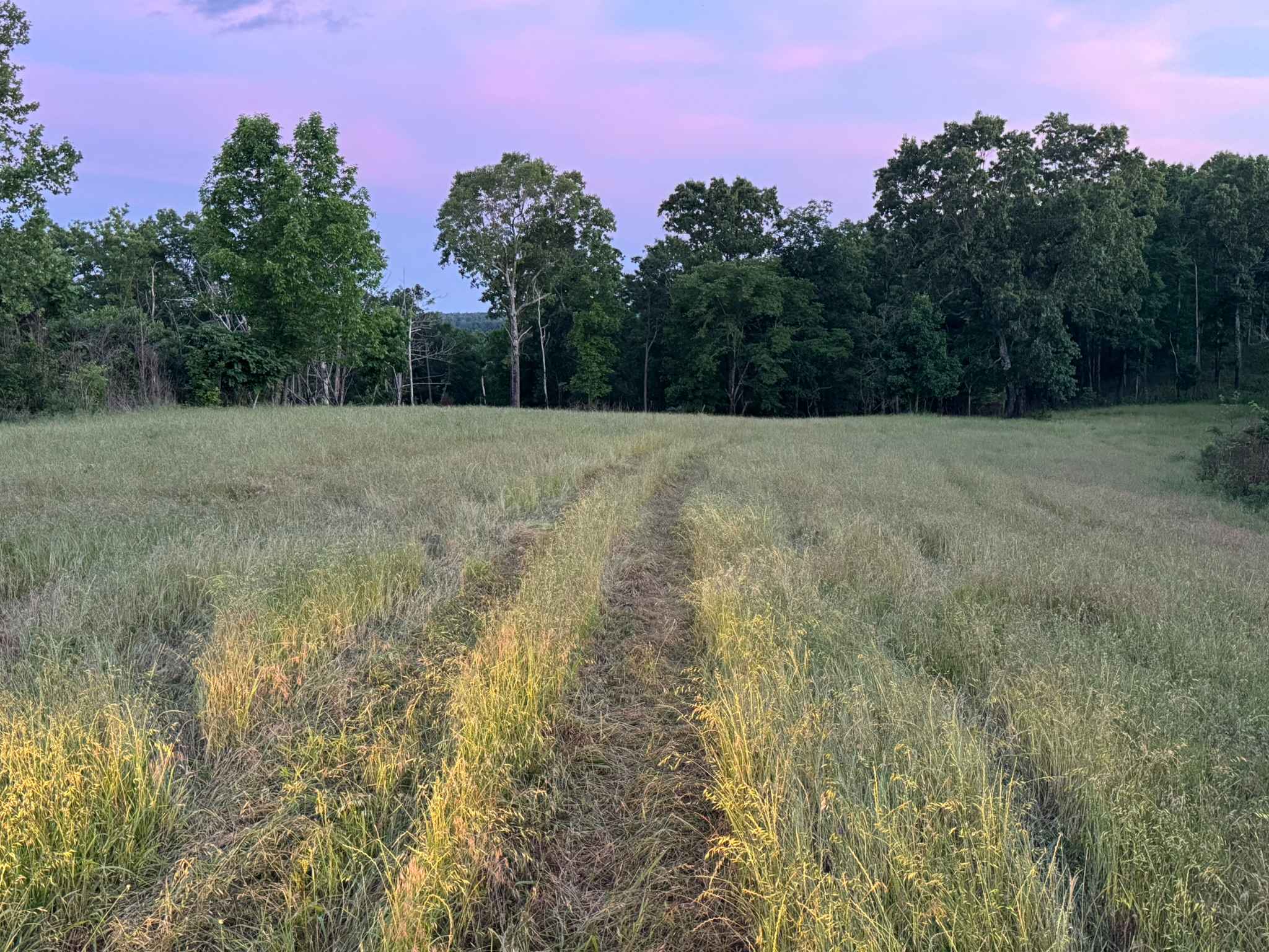
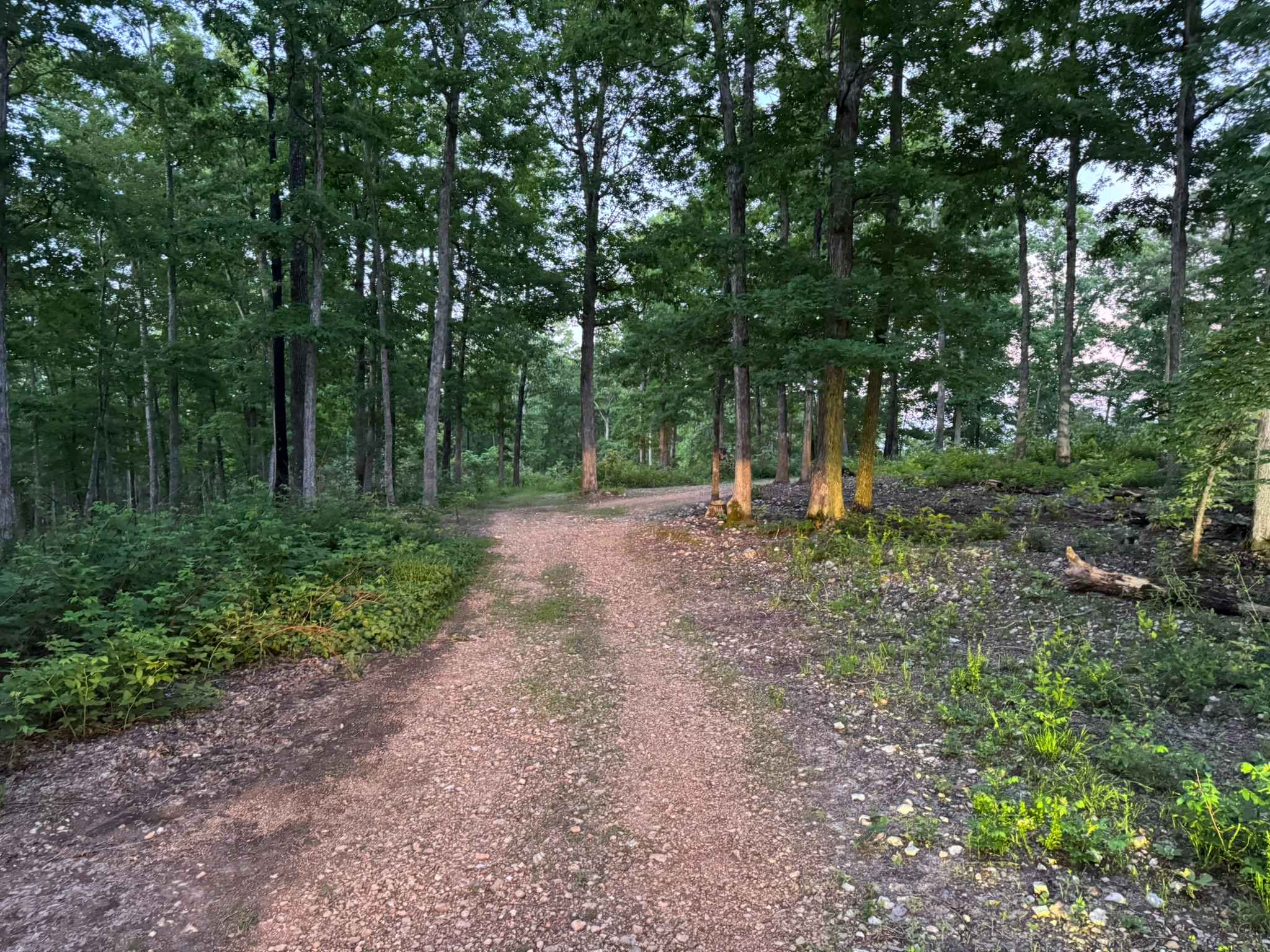
This out and back route follows a narrow and heavily weathered two-track through dense hardwood forest and open grassy meadows. The trail surface is rough and uneven in several areas due to water erosion, creating a consistently bumpy ride. The route winds between tall trees before opening into wide grassy fields that offer scenic views and possible wildlife sightings, especially during early morning or evening hours. Along the wooded sections, there are a few previously downed trees that have been cut and pushed aside, but the remaining trunks and branches still sit close to the trail edge and can easily catch a tire or wheel if drivers are not paying attention. Overgrowth along portions of the route may also result in light pinstriping on full-size vehicles.
Photos of Glade 1112C
Difficulty
This route is mostly a mild forest and meadow two-track with a few rough and uneven sections caused by water erosion. Tight spots around previously downed trees may require slower speeds and careful tire placement, but most stock high clearance 4x4s should have little trouble.
History
The roads throughout this region were originally established for logging, mining, homestead access, and fire management long before recreational off-roading became popular. Portions of the surrounding Buffalo National River area contain deep ties to Ozark pioneer history, including old settlements, abandoned homesites, family cemeteries, and former mining operations dating back to the late 1800s and early 1900s. The nearby Rush Historic District was once one of the largest zinc mining communities in Arkansas during the early 20th century. Many of the ridge roads and hollows drivers travel today follow paths historically used by miners, loggers, ranchers, and local residents navigating the rugged Ozark terrain long before modern highways existed.
Status Reports
Glade 1112C can be accessed by the following ride types:
- High-Clearance 4x4
- SUV
Glade 1112C Map
Popular Trails

White Oak Mountain Rd

Follow the Red River
The onX Offroad Difference
onX Offroad combines trail photos, descriptions, difficulty ratings, width restrictions, seasonality, and more in a user-friendly interface. Available on all devices, with offline access and full compatibility with CarPlay and Android Auto. Discover what you’re missing today!