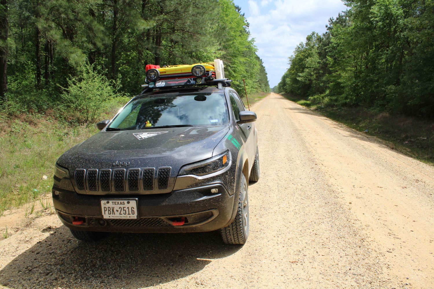
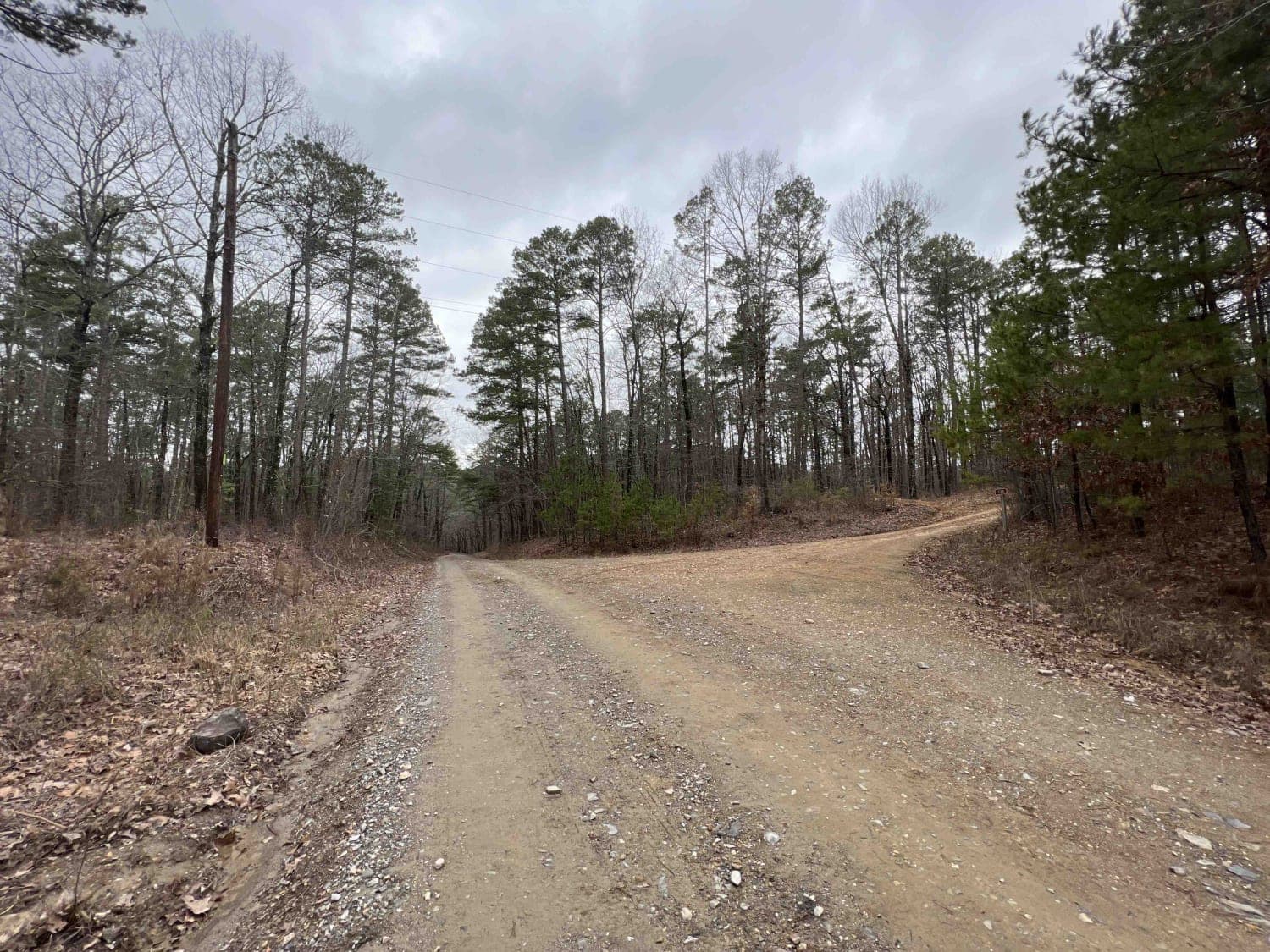
Falling Water Road
Total Miles
15.3
Technical Rating
Best Time
Spring, Summer
Trail Type
Full-Width Road
Accessible By
Trail Overview
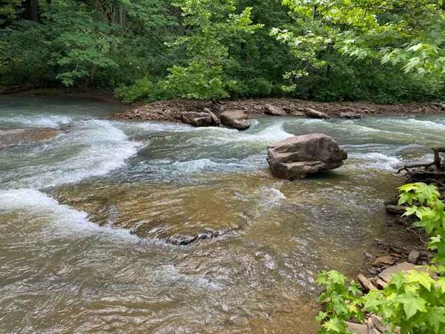
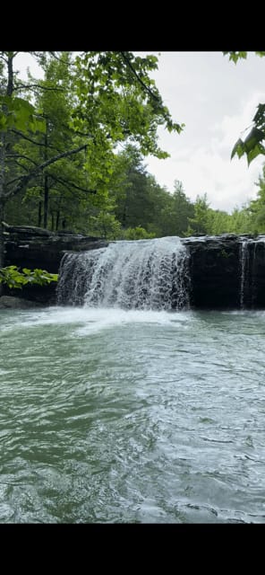
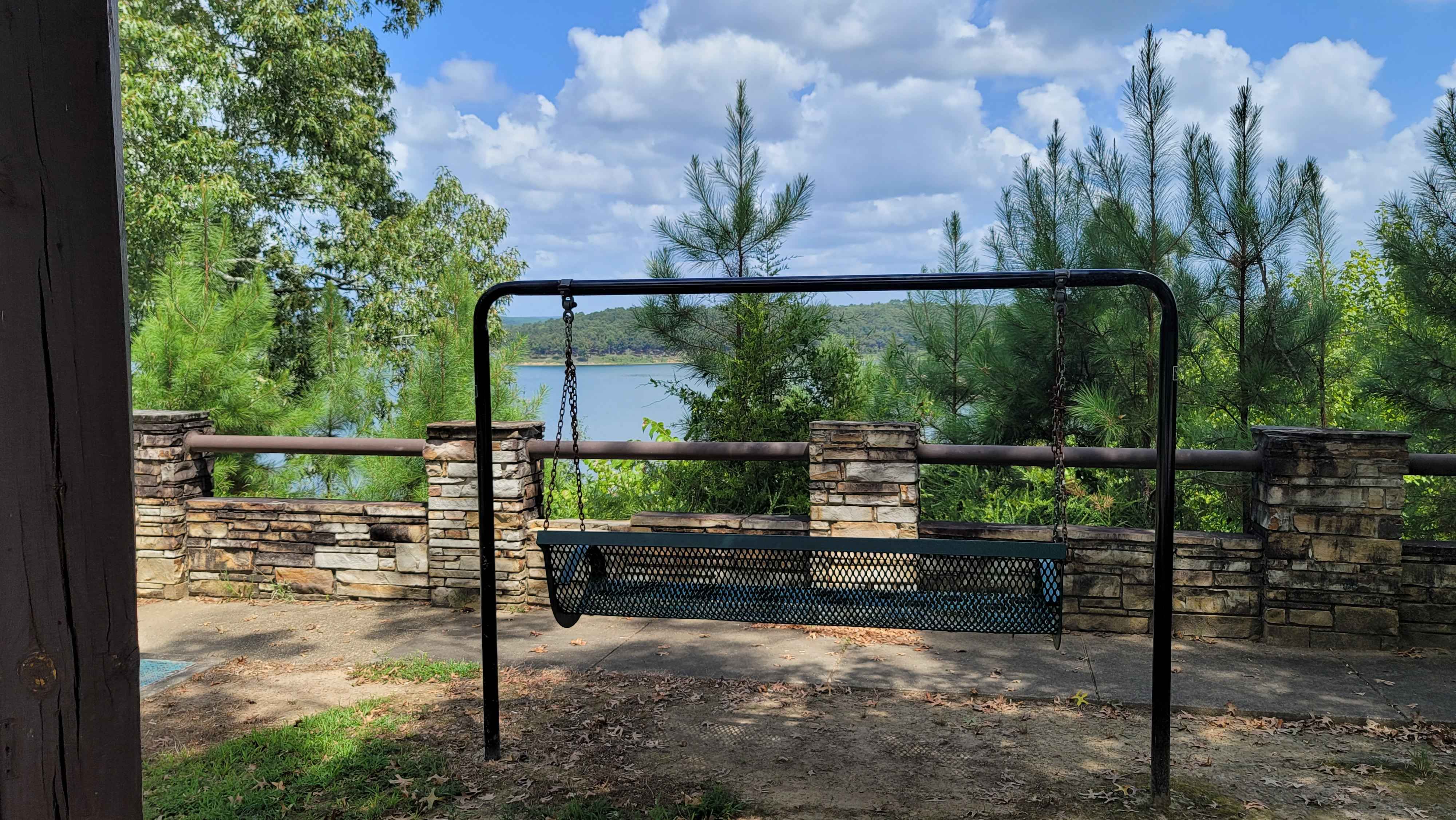
Falling Water Road is a relaxing dirt road that runs along the eastern border of the Richland Creek Wilderness Area, and also follows Falling Water Creek. The most photographed waterfall in Arkansas, Falling Water Falls, is located at the southernmost point of the route. You can expect to find over a dozen different waterfalls of varying sizes along Falling Water Creek, as well as abundant dispersed camping sites next to the creek.
Photos of Falling Water Road
Difficulty
Smooth dirt and rock road with gentle grades.
Falling Water Road can be accessed by the following ride types:
- High-Clearance 4x4
- SUV
Falling Water Road Map
Popular Trails
The Arkansas Overland Route - TrailHawk Loop - Section 27
Alum Fork Road 114

Sunlight Bay Road
Gillham Dam And Cossatot Reefs Campground
The onX Offroad Difference
onX Offroad combines trail photos, descriptions, difficulty ratings, width restrictions, seasonality, and more in a user-friendly interface. Available on all devices, with offline access and full compatibility with CarPlay and Android Auto. Discover what you’re missing today!