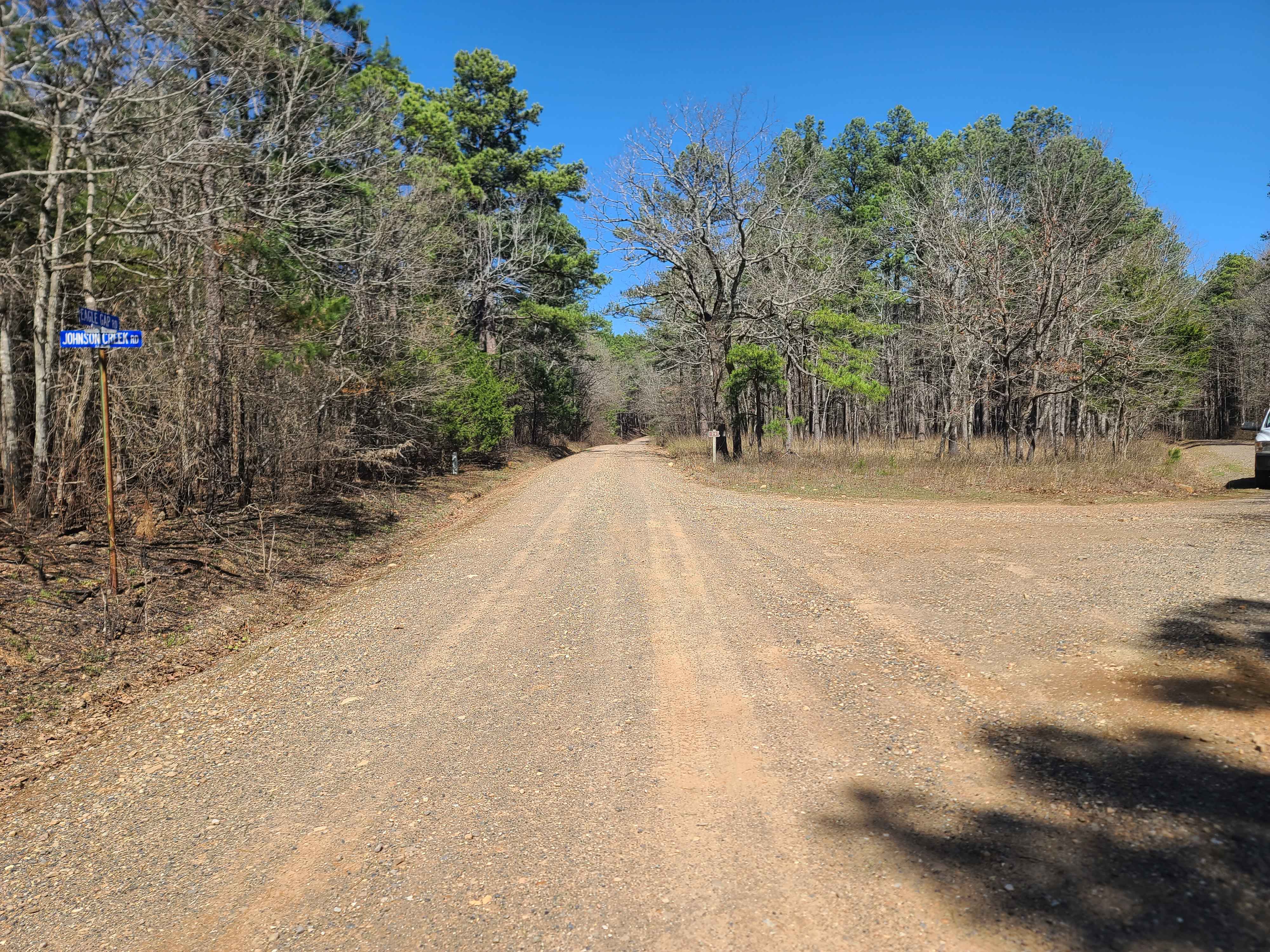
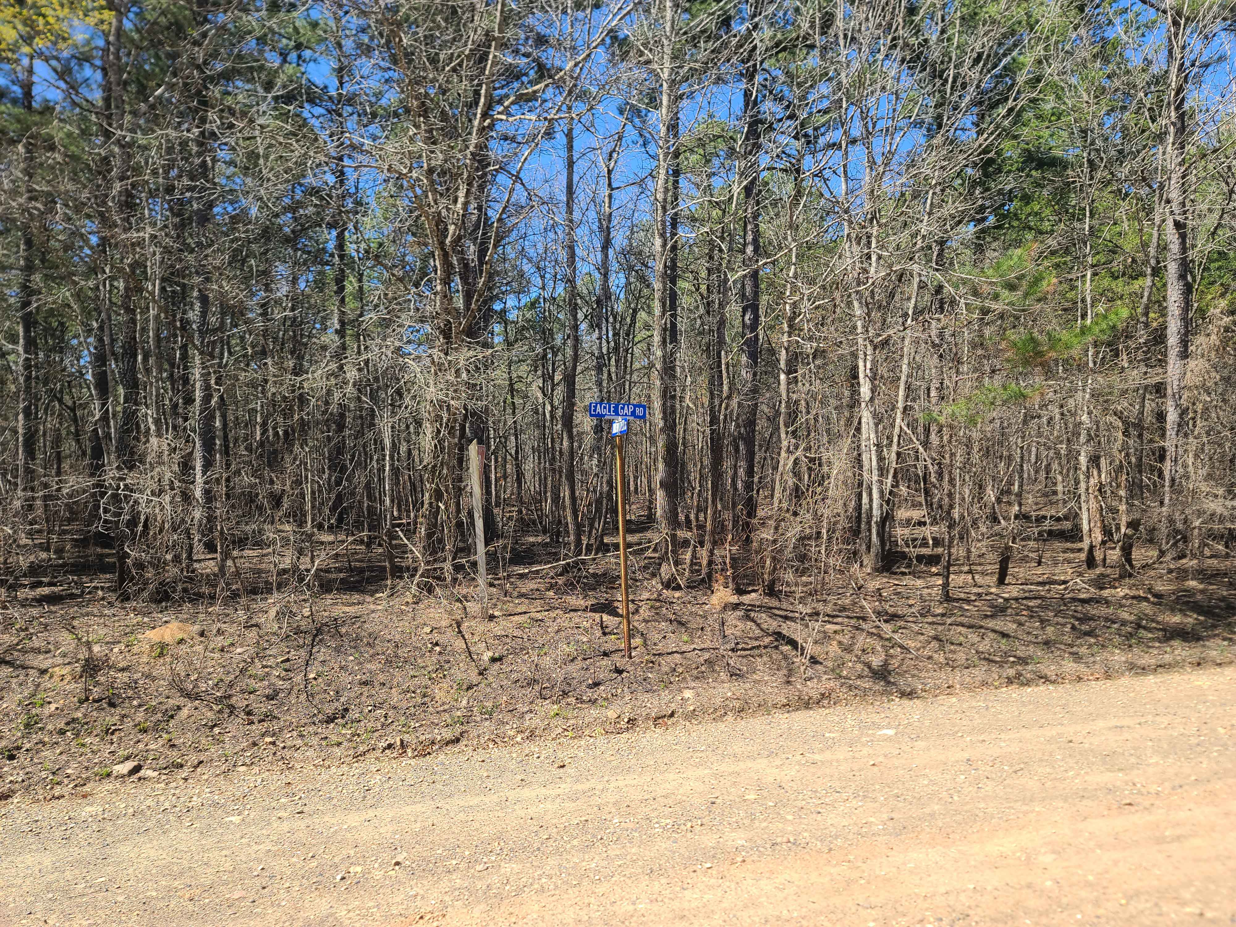
Eagle Gap Road South
Total Miles
2.8
Technical Rating
Best Time
Fall, Spring, Summer, Winter
Trail Type
Full-Width Road
Accessible By
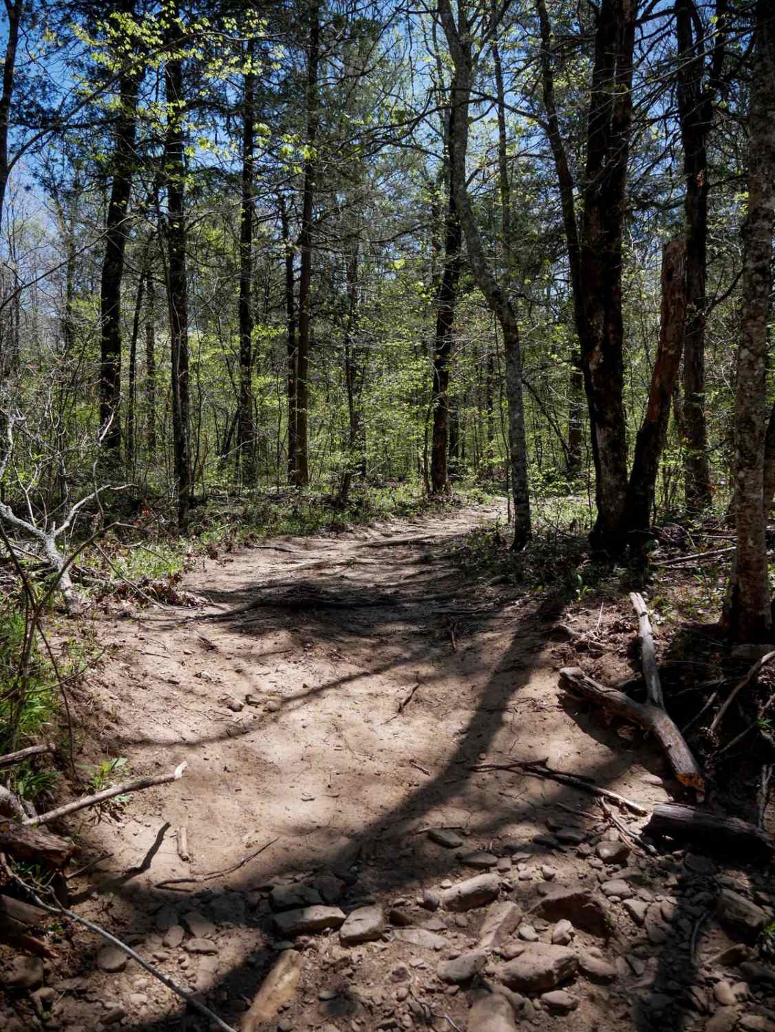
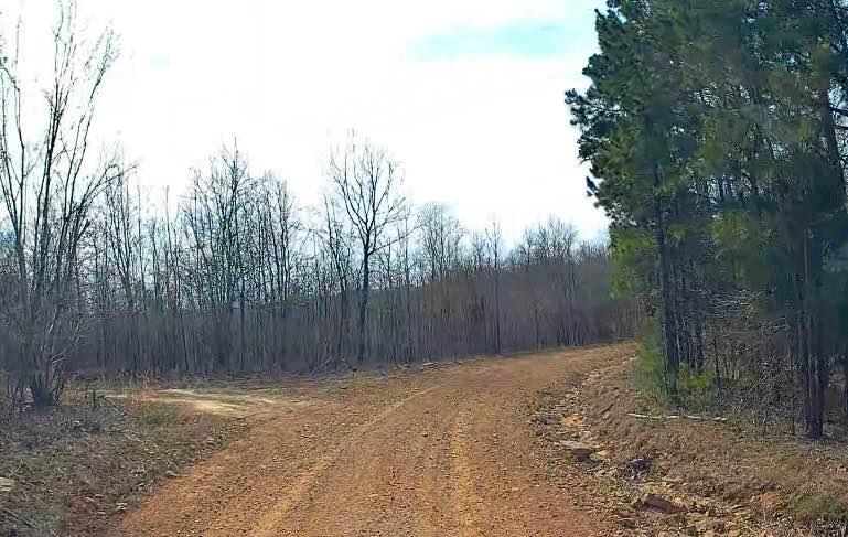
Trail Overview
This is the southern section of Eagle Gap Road (29 Road) from the intersection of Johnson Creek Road to the intersection of Ritz Road in Scott County, Arkansas. This road is part of the historic route through Eagle Gap from Waldron to Eagleton, Rich Mountain, and Blackfork. This route is a mostly gentle dirt road with no technical locations in dry weather. A small overlook of portions of Clearfork Creek exists on the southern end of the route, and portions of pine and pine/hardwood forests line the majority of the route. The foundations of multiple historic homesteads exist along the route, but can be hard to notice. Also, a short hike from the Southern end of the route is two historic Civilian Conservation Corps powder magazines. Please leave these historic locations as you found them for others to view. This portion of the forest does get through traffic from dispersed homes in the area and higher-than-normal traffic in the various hunting seasons, but it is a great, easy drive through the mountains.
Photos of Eagle Gap Road South
Difficulty
This section of Eagle Gap Road is generally easy to bypass in most weather conditions. The road is dirt with potholes and some sections of exposed rock, but most 2WD vehicles should be able to pass with little trouble.
History
This road is a historical thorofare from the Eagleton community and Eagle Gap Ranger station through the pass to the North to Waldron. Historically, this road was a main passageway through the mountains.
Status Reports
Eagle Gap Road South can be accessed by the following ride types:
- High-Clearance 4x4
- SUV
Eagle Gap Road South Map
Popular Trails


Weyerhaeuser 25500
The onX Offroad Difference
onX Offroad combines trail photos, descriptions, difficulty ratings, width restrictions, seasonality, and more in a user-friendly interface. Available on all devices, with offline access and full compatibility with CarPlay and Android Auto. Discover what you’re missing today!