Dale
Total Miles
2.9
Technical Rating
Best Time
Spring, Summer, Fall, Winter
Trail Type
Full-Width Road
Accessible By
Trail Overview
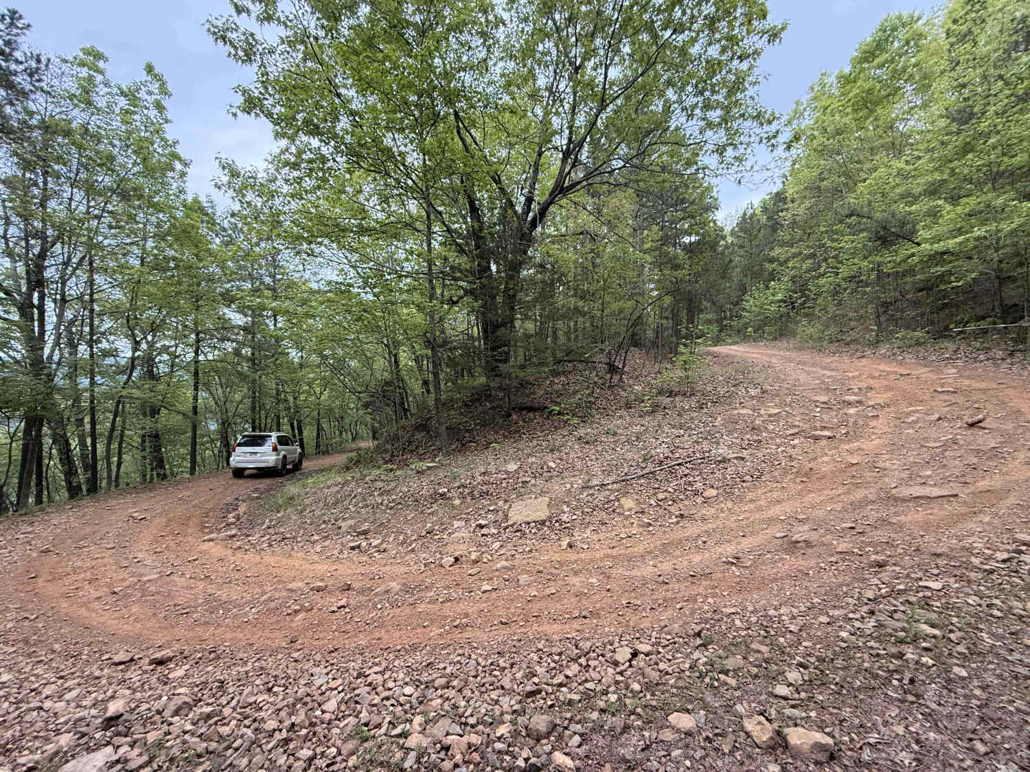
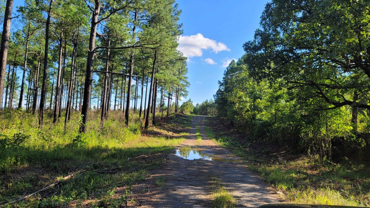
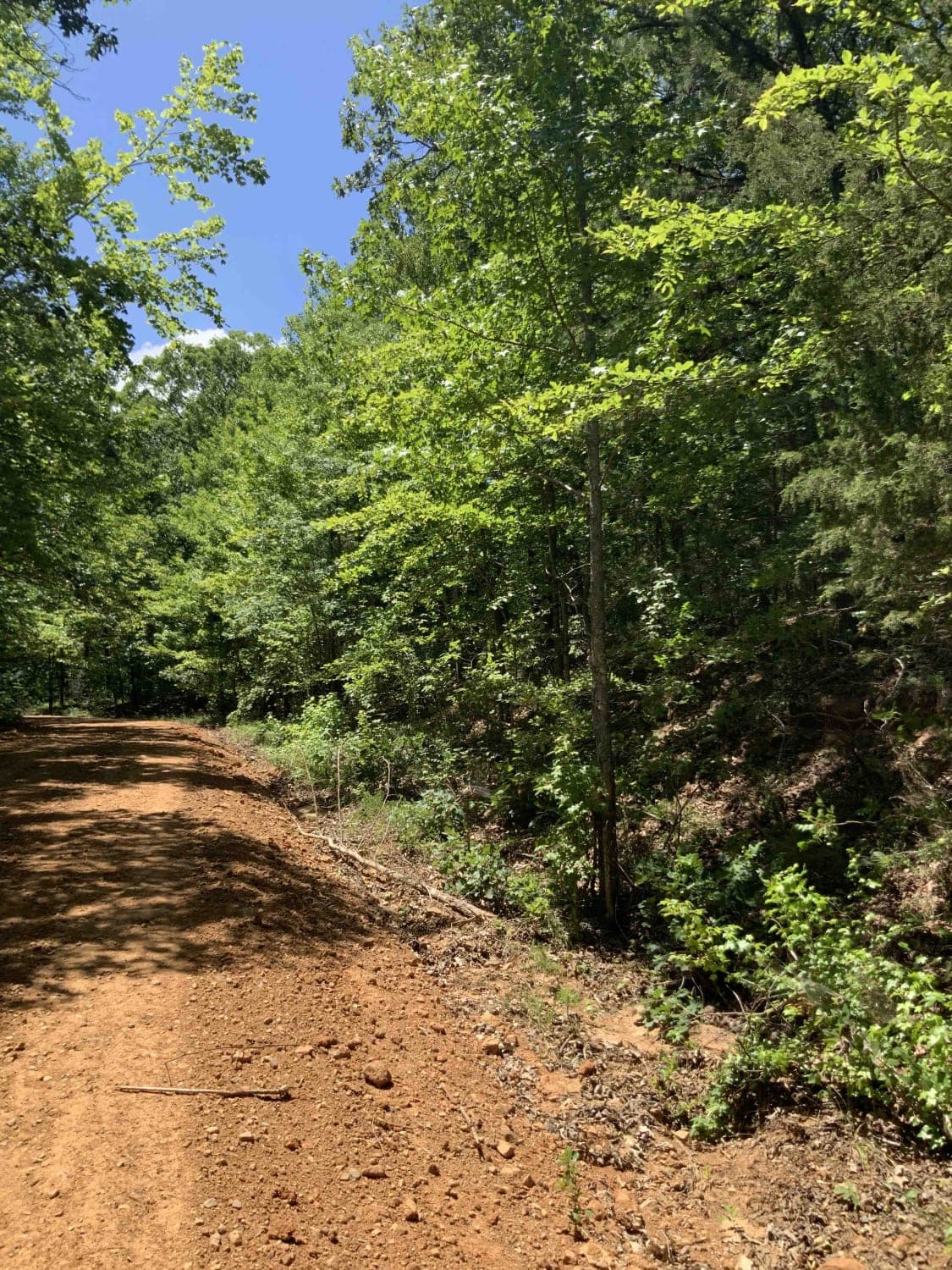
This beautiful trail is mostly gravel with a few sections of loose, softball-sized rocks. Running from north to south, this bench cut road descends over 1,000 feet into a valley with a view through the trees to the southeast. Expect mild grades and sharp, rocky switchbacks. A small number of embedded rocks can be found on the trail, but no obstacles over 12 inches.
Photos of Dale

Difficulty
The majority of this road is gravel, although you will encounter sections of loose and embedded rocks under 12 inches. The bench cut section can be slightly narrow and can make passing oncoming vehicles difficult.
Status Reports
Dale can be accessed by the following ride types:
- High-Clearance 4x4
- SUV
- SxS (60")
- ATV (50")
- Dirt Bike
Dale Map
Popular Trails

G2 Four Fingers
Fox Pen West
1541 / Briar Creek

Bear Hollow - Trail 1627
The onX Offroad Difference
onX Offroad combines trail photos, descriptions, difficulty ratings, width restrictions, seasonality, and more in a user-friendly interface. Available on all devices, with offline access and full compatibility with CarPlay and Android Auto. Discover what you’re missing today!