1541 / Briar Creek
Total Miles
2.8
Technical Rating
Best Time
Spring, Summer, Fall, Winter
Trail Type
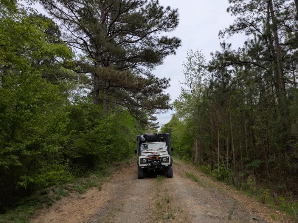
High-Clearance 4x4 Trail
Accessible By
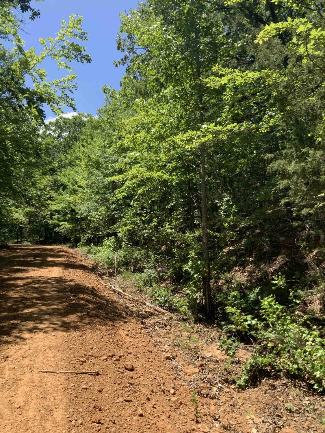
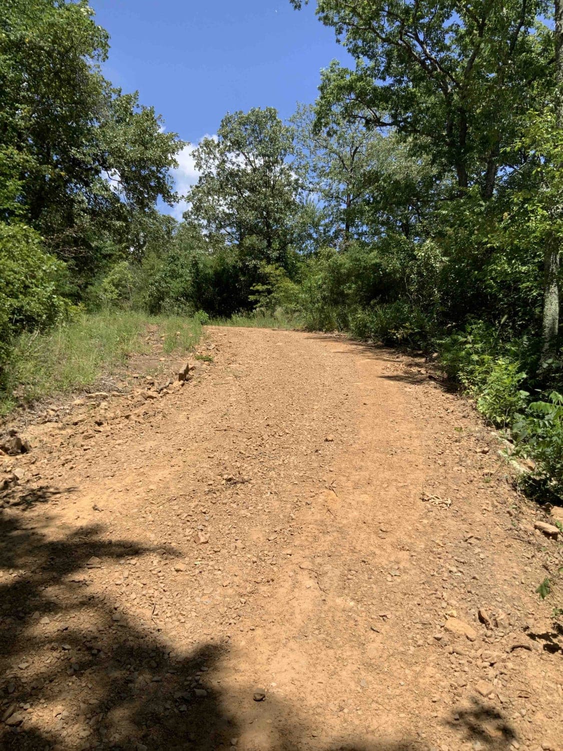
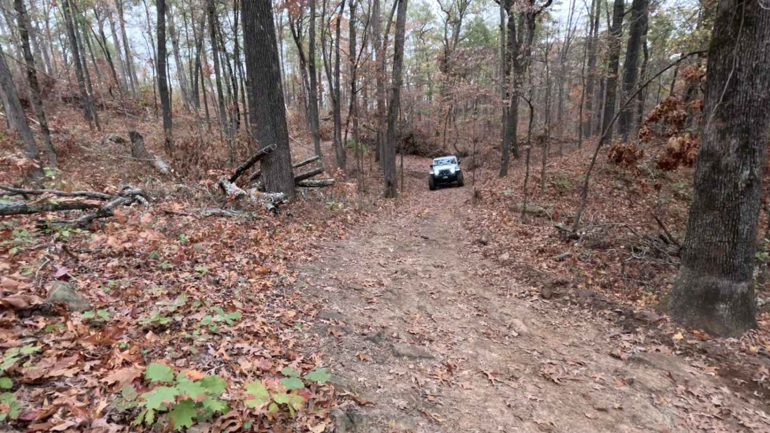
Trail Overview
This route starts out as an easy gravel road and gets narrower and more difficult towards the end. There are many low and overgrown branches, and the trail eventually ends; there is not an easy way to turn around. There are downed trees that may require an alternate route or clearing along the way.
Photos of 1541 / Briar Creek
Difficulty
This trail would be difficult after rains. Many deep areas and technical areas, & downed trees. Expect to get vehicle scratched along this trail.
Status Reports
1541 / Briar Creek can be accessed by the following ride types:
- High-Clearance 4x4
- SxS (60")
- ATV (50")
- Dirt Bike
1541 / Briar Creek Map
Popular Trails

Logging Bank Trail (FSR #94449B)

Pond Creek East Side Route
The onX Offroad Difference
onX Offroad combines trail photos, descriptions, difficulty ratings, width restrictions, seasonality, and more in a user-friendly interface. Available on all devices, with offline access and full compatibility with CarPlay and Android Auto. Discover what you’re missing today!