Brock 42
Total Miles
2.8
Technical Rating
Best Time
Spring, Fall, Winter, Summer
Trail Type
50" Trail
Accessible By
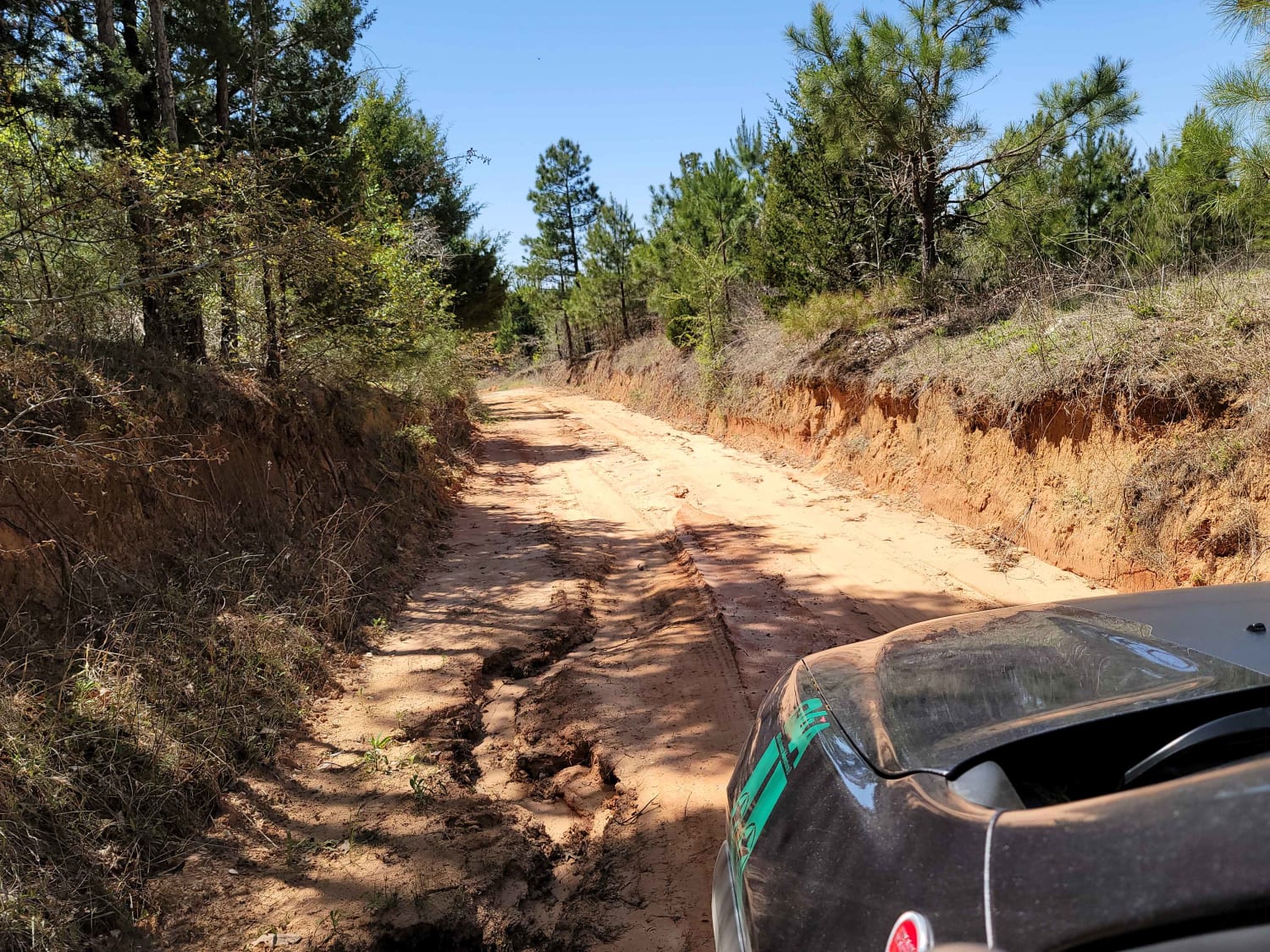
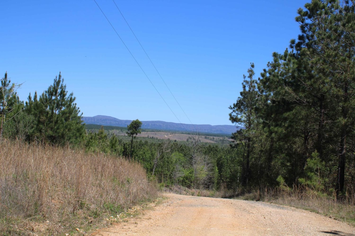
Trail Overview
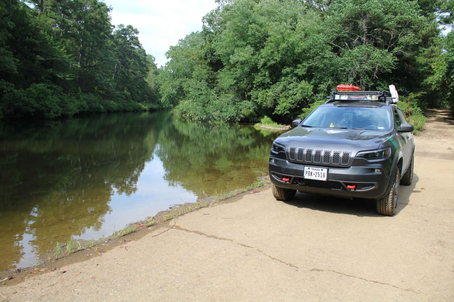
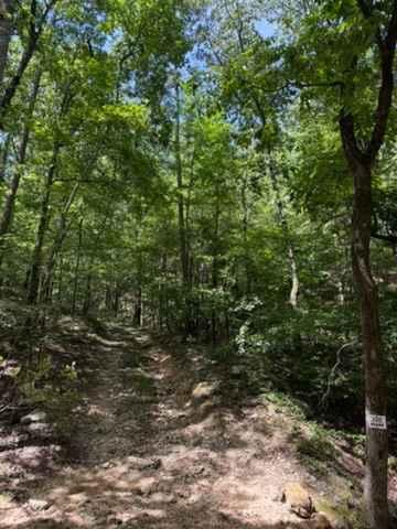
This 3-mile ATV-access trail serves as a primary connector across the trail system, offering a practical access route from the northern Austin Trailhead down to Charleston Road, which takes you to the southern staging area. From the north end, the trail is mostly flat and smooth, varying from road width to narrower sections, with gentle curves, small rollers, and dips. Expect shallow ruts, loose rock in spots, and occasional mud puddles after rain. While not technically demanding, it's a key utility corridor through the network and sees frequent use. The southern end is narrower and rockier. The southern end can also flood after major storms as it parallels the Brock Creek, resulting in logs and washouts. It crosses the Brock Creek at a small waterfall, which is really scenic.
Photos of Brock 42


Difficulty
The difficulty of this one could change based on conditions. This is an easy access ATV trail with no major obstacles, but potential for downed logs after storms or in early season.
Status Reports
Brock 42 can be accessed by the following ride types:
- ATV (50")
- Dirt Bike
Brock 42 Map
Popular Trails
The Arkansas Overland Route - Section 4 - Poison Springs WMA and Purifoy Cemetery
Howard County WMA To Highway 278
North Fork to Gladstone
J20 John's & More
The onX Offroad Difference
onX Offroad combines trail photos, descriptions, difficulty ratings, width restrictions, seasonality, and more in a user-friendly interface. Available on all devices, with offline access and full compatibility with CarPlay and Android Auto. Discover what you’re missing today!