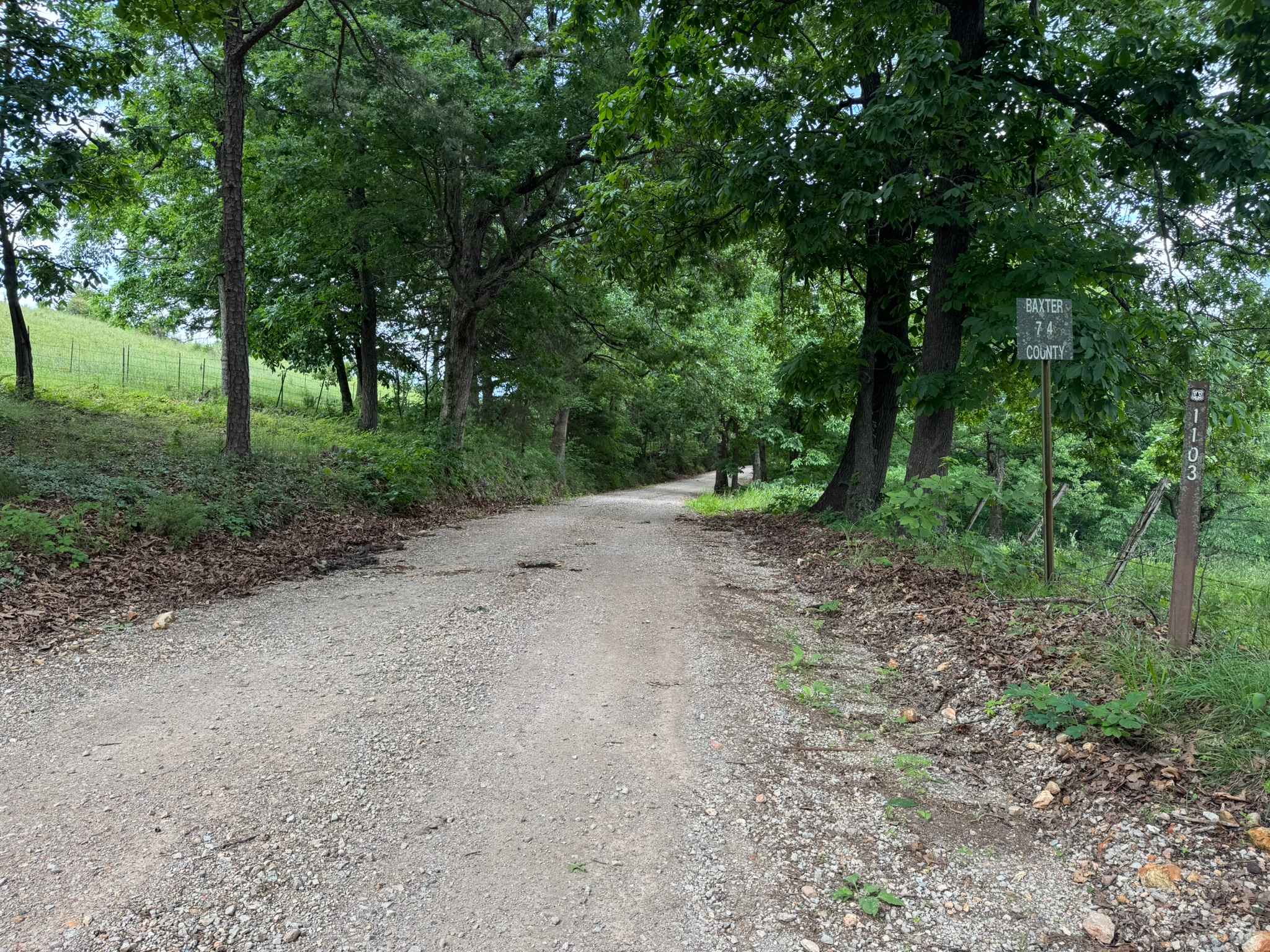
Baxter 74
Total Miles
3.1
Technical Rating
Best Time
Spring, Summer, Fall, Winter
Trail Type
Full-Width Road
Accessible By
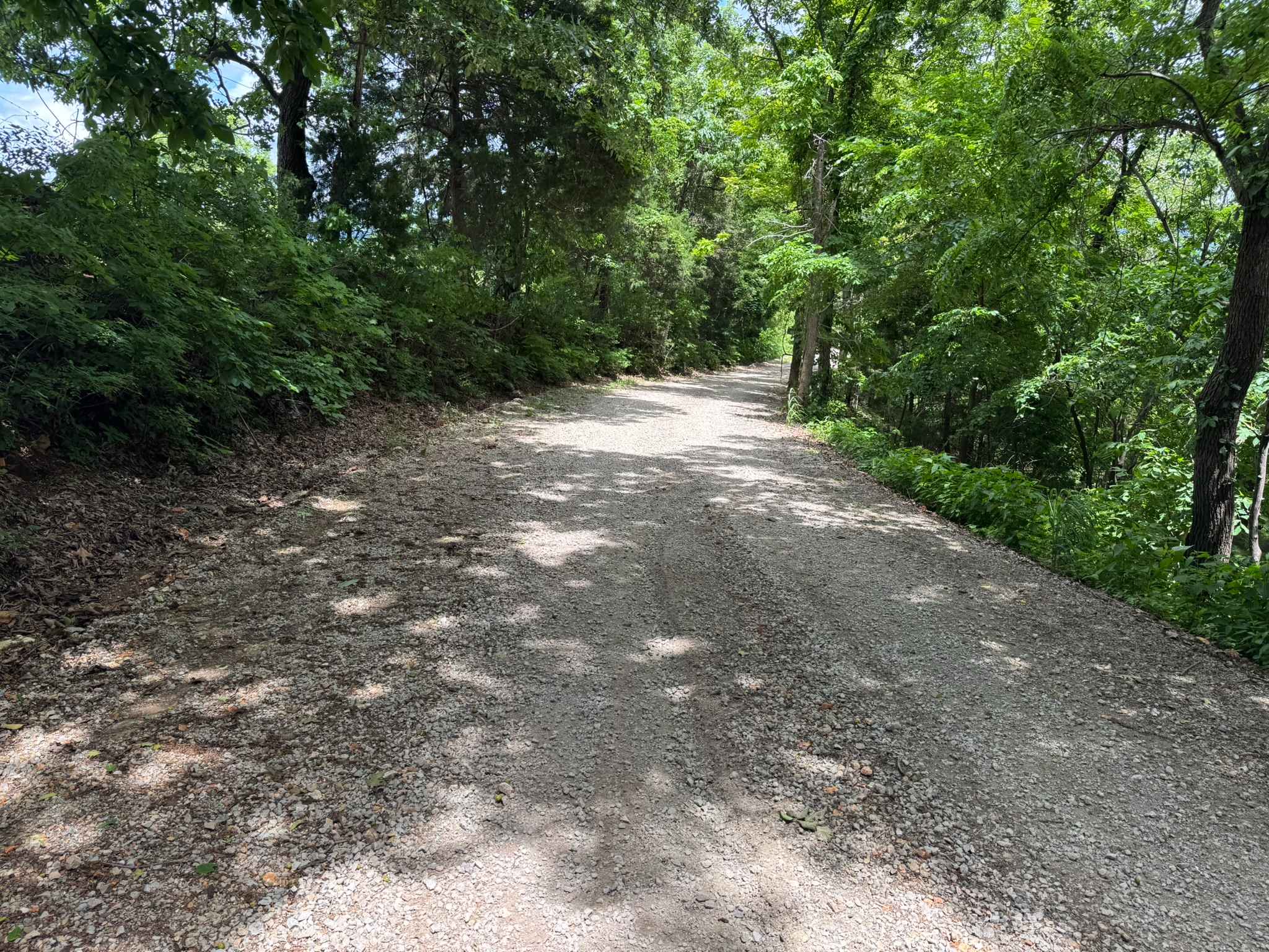
Trail Overview
This route is a very well-maintained gravel road that travels through the wooded hills of the Ozarks. The road stays two vehicles wide for the entire drive, making it comfortable for full-size trucks, SUVs, and trailers. Tall hardwoods and pines line both sides of the roadway, creating a shaded canopy through much of the route. Several sections open up enough to reveal views of the surrounding rolling hills and elevated plateau tops beyond the trees. The smooth gravel surface and gentle curves make this more of a scenic backroad drive than a technical off-road trail. Along the route, the dense forest, quiet atmosphere, and occasional hillside views give the area a classic remote Ozark feel while still remaining easily accessible for most vehicles.
Photos of Baxter 74
Difficulty
This route is a smooth, well-maintained gravel road with no significant technical obstacles. The road remains wide enough for two vehicles the entire way and is suitable for stock high-clearance vehicles, SUVs, and most passenger cars in dry conditions.
History
The roads throughout this region were originally established for logging, mining, homestead access, and fire management long before recreational off-roading became popular. Portions of the surrounding Buffalo National River area contain deep ties to Ozark pioneer history, including old settlements, abandoned homesites, family cemeteries, and former mining operations dating back to the late 1800s and early 1900s. The nearby Rush Historic District was once one of the largest zinc mining communities in Arkansas during the early 20th century. Many of the ridge roads and hollows drivers travel today follow paths historically used by miners, loggers, ranchers, and local residents navigating the rugged Ozark terrain long before modern highways existed.
Status Reports
Baxter 74 can be accessed by the following ride types:
- High-Clearance 4x4
- SUV
Baxter 74 Map
Popular Trails
Knoppers Ford


County Roads to Sour Springs
The onX Offroad Difference
onX Offroad combines trail photos, descriptions, difficulty ratings, width restrictions, seasonality, and more in a user-friendly interface. Available on all devices, with offline access and full compatibility with CarPlay and Android Auto. Discover what you’re missing today!