A4
Total Miles
0.4
Technical Rating
Best Time
Summer
Trail Type
Full-Width Road
Accessible By
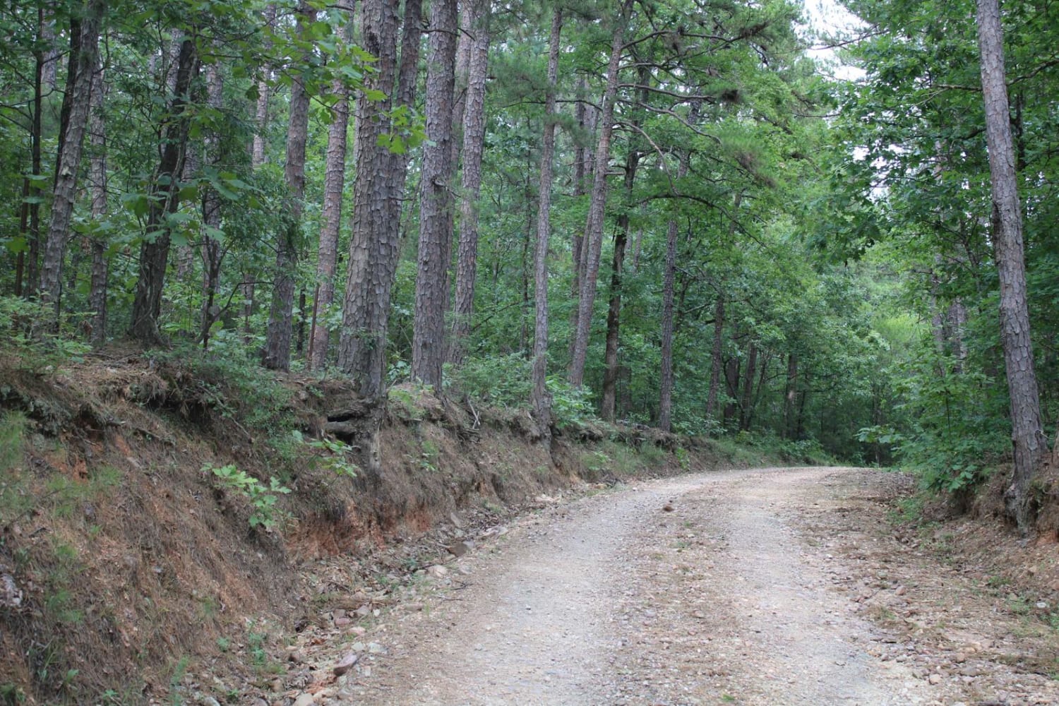
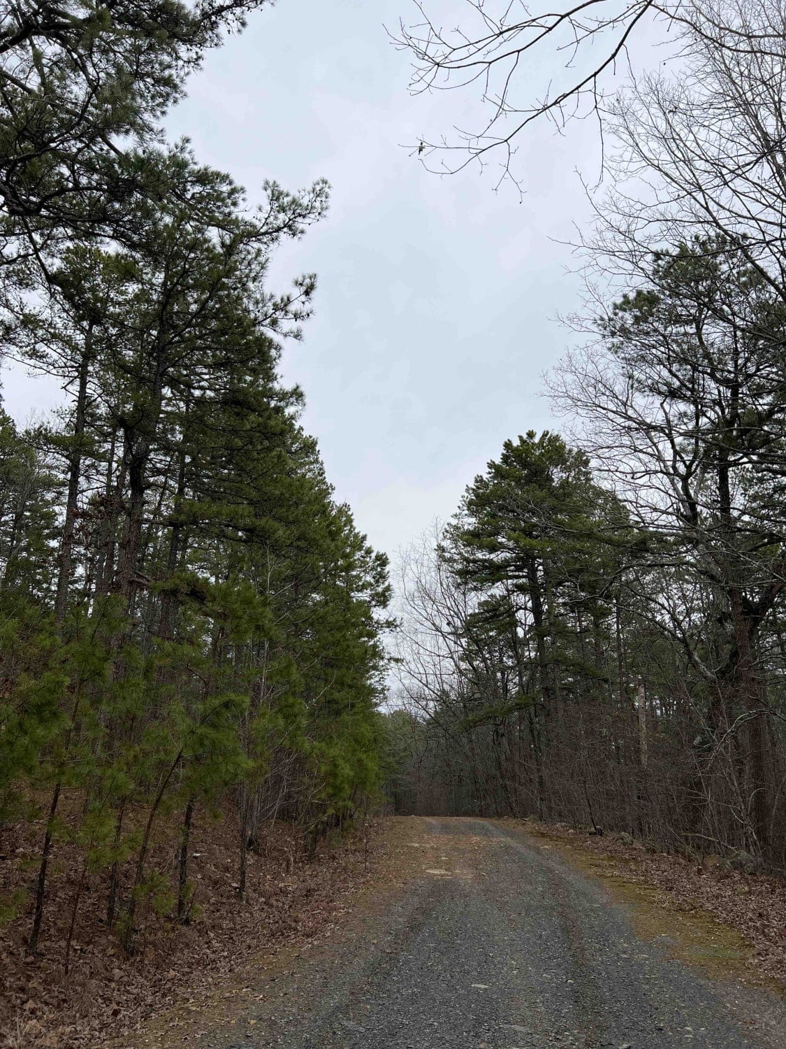
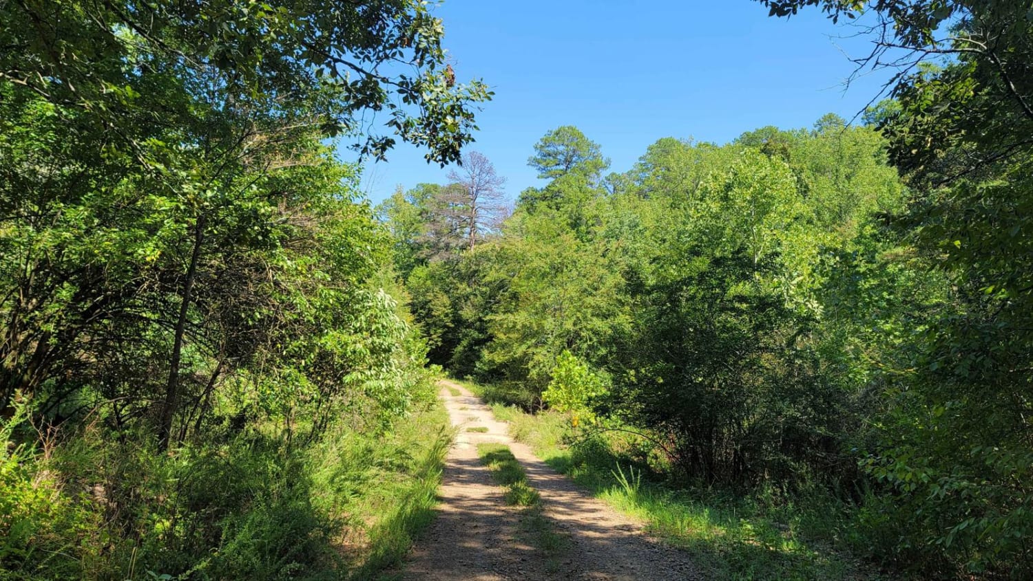
Trail Overview
A4 is a rather difficult trail and will only get harder over time. This trail can be found at the end of A13. This trail has some steep grades, very off camber crossovers with large washouts that will only get worse overtime. This trail also takes you down the mountainside to A26 and A28. A Park Day-Use Trail Pass is required to access this system of trails. Cell service is spotty in places, and trail conditions can change quickly, especially during rainy or winter seasons
Photos of A4


Difficulty
This trail has some steep grades, very off-camber crossovers with large washouts that will only get worse over time. Towards the middle of this trail, there is a sharp turn going further down the mountainside. This can be an extremely tricky turn.
A4 can be accessed by the following ride types:
- High-Clearance 4x4
- SUV
- SxS (60")
- ATV (50")
- Dirt Bike
A4 Map
Popular Trails

C5 Humdinger
Exit to Tabor Mountain Road
Bear Creek Mountain Road 773
Wildcat Hollow
The onX Offroad Difference
onX Offroad combines trail photos, descriptions, difficulty ratings, width restrictions, seasonality, and more in a user-friendly interface. Available on all devices, with offline access and full compatibility with CarPlay and Android Auto. Discover what you’re missing today!