91057C
Total Miles
1.1
Technical Rating
Best Time
Spring, Summer, Fall, Winter
Trail Type
Full-Width Road
Accessible By
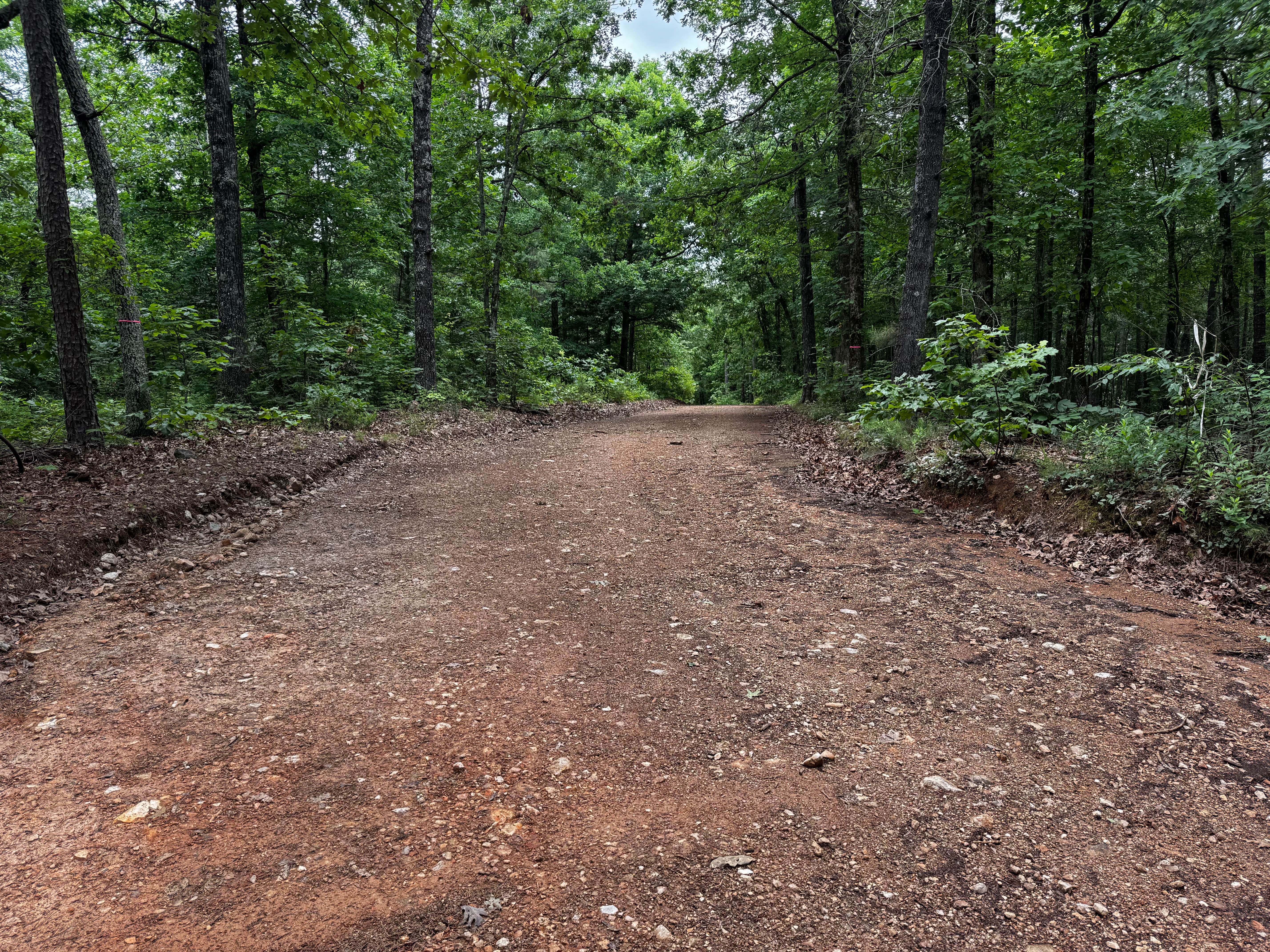
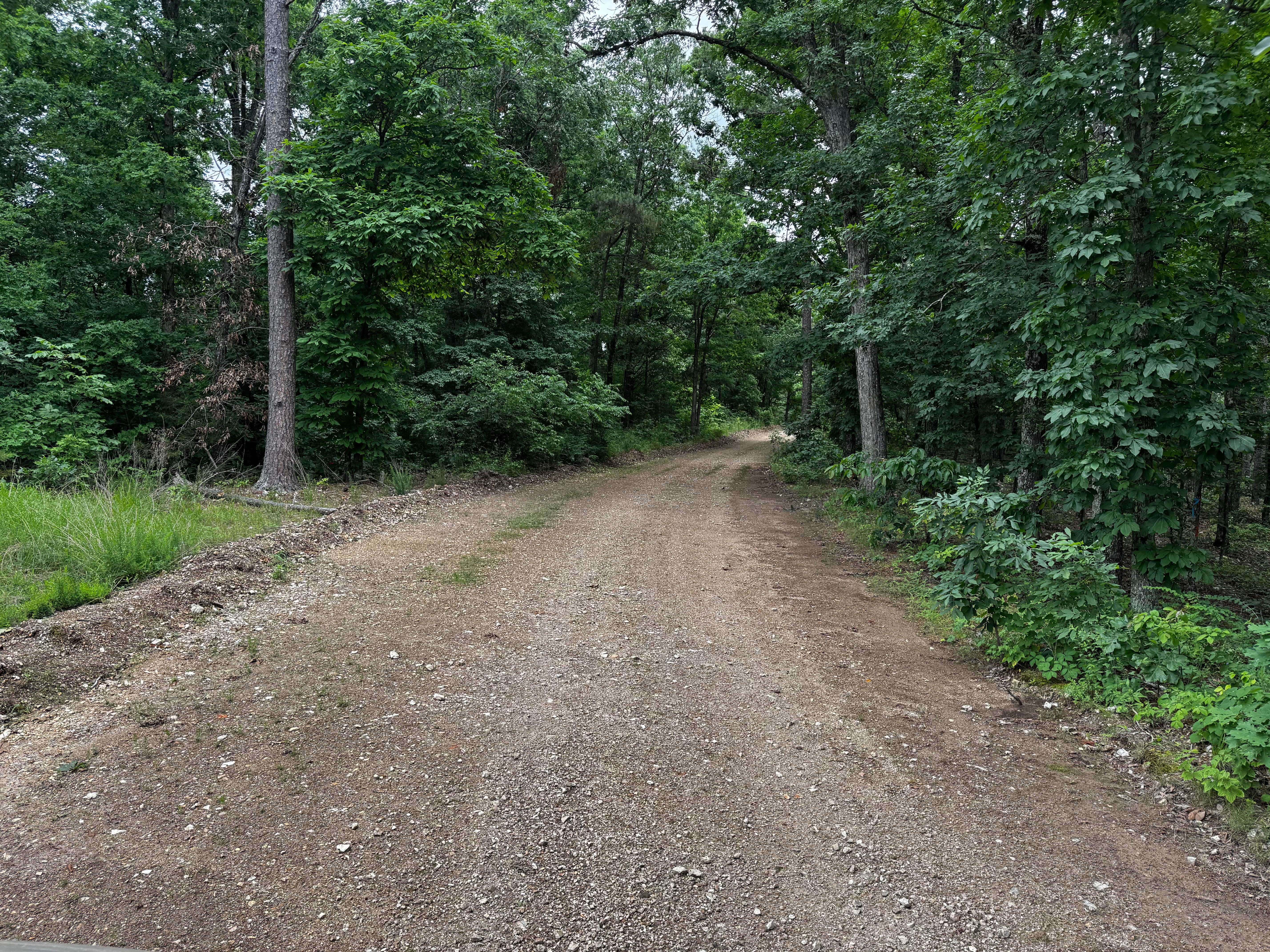
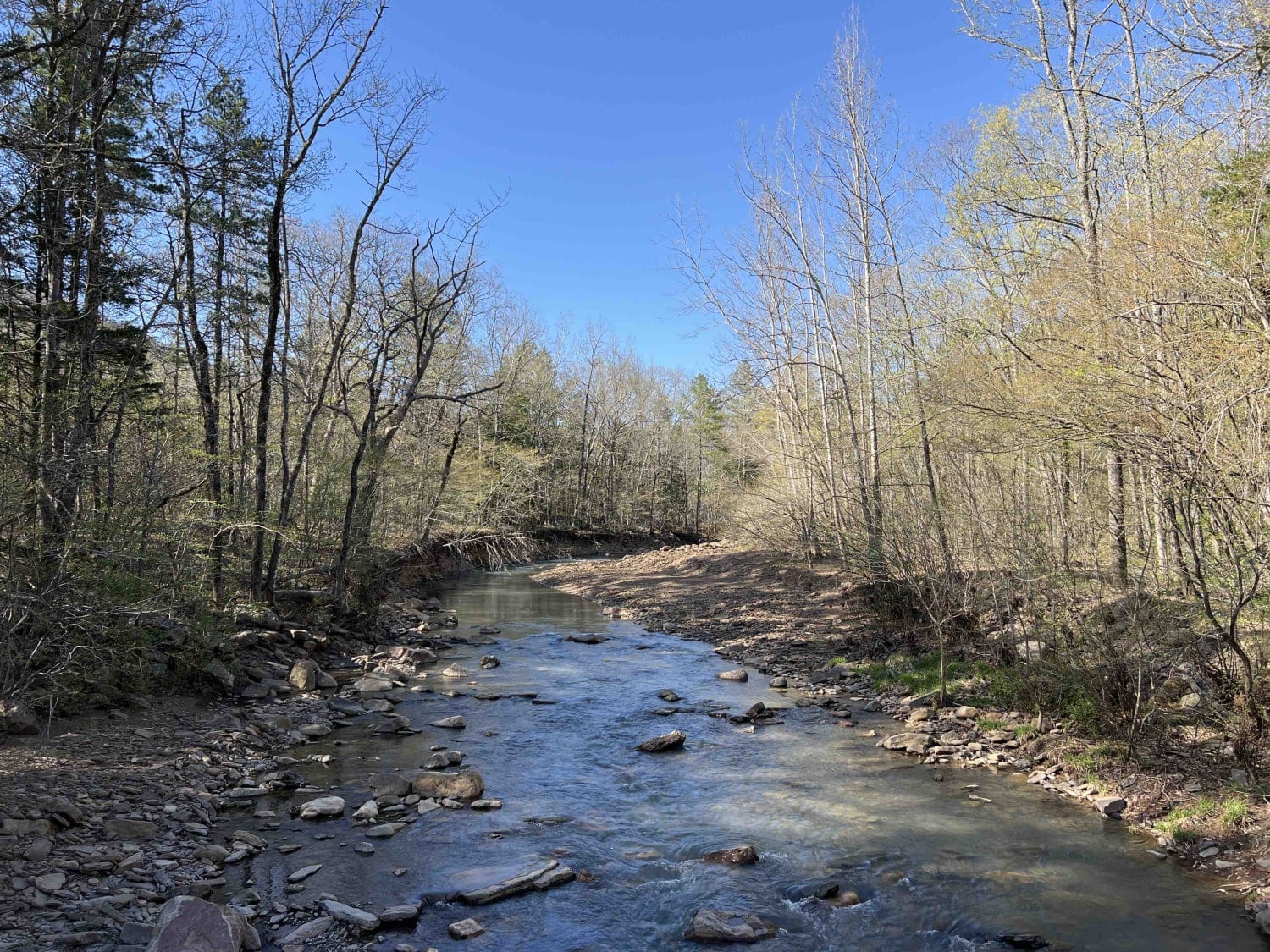
Trail Overview
This county road provides an easy scenic drive through a heavily wooded section of the Ozarks. The route is gravel and generally well maintained, with wider sections near the entrance before gradually narrowing as it approaches the creek area. Tall hardwoods and thick vegetation line both sides of the road, creating a shaded tunnel-like drive through the forest. Several portions of the route run alongside the creek, offering scenic views of the water and surrounding rock formations.
Photos of 91057C
Difficulty
The road surface is mostly smooth gravel with a few minor washouts and uneven spots closer to the creek, but there are no major obstacles along the route. Because the trail narrows in places, drivers should remain aware of oncoming traffic and identify safe pull-off locations when needed.
History
The roads throughout this region were originally established for logging, mining, homestead access, and fire management long before recreational off-roading became popular. Portions of the surrounding Buffalo National River area contain deep ties to Ozark pioneer history, including old settlements, abandoned homesites, family cemeteries, and former mining operations dating back to the late 1800s and early 1900s. The nearby Rush Historic District was once one of the largest zinc mining communities in Arkansas during the early 20th century. Many of the ridge roads and hollows drivers travel today follow paths historically used by miners, loggers, ranchers, and local residents navigating the rugged Ozark terrain long before modern highways existed.
Status Reports
91057C can be accessed by the following ride types:
- High-Clearance 4x4
- SUV
- SxS (60")
- ATV (50")
- Dirt Bike
91057C Map
Popular Trails
The Arkansas Overland Route - TrailHawk Loop - Section 21 - Haus SP


The onX Offroad Difference
onX Offroad combines trail photos, descriptions, difficulty ratings, width restrictions, seasonality, and more in a user-friendly interface. Available on all devices, with offline access and full compatibility with CarPlay and Android Auto. Discover what you’re missing today!