91042S
Total Miles
0.8
Technical Rating
Best Time
Spring, Summer, Fall, Winter
Trail Type
Full-Width Road
Accessible By
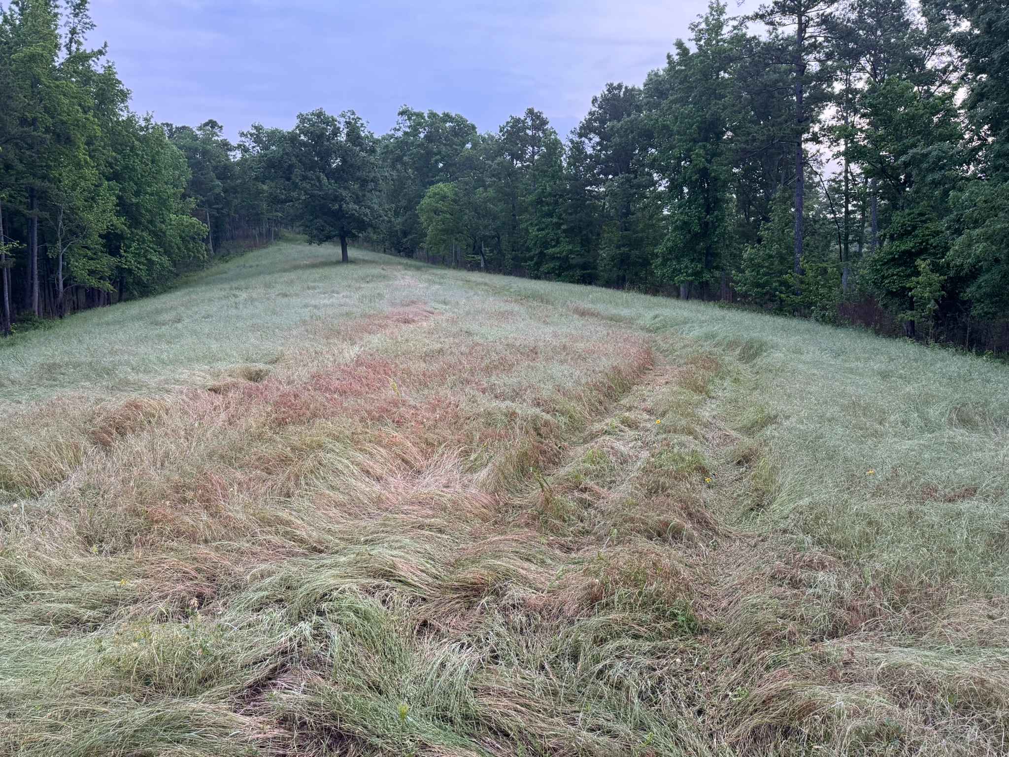
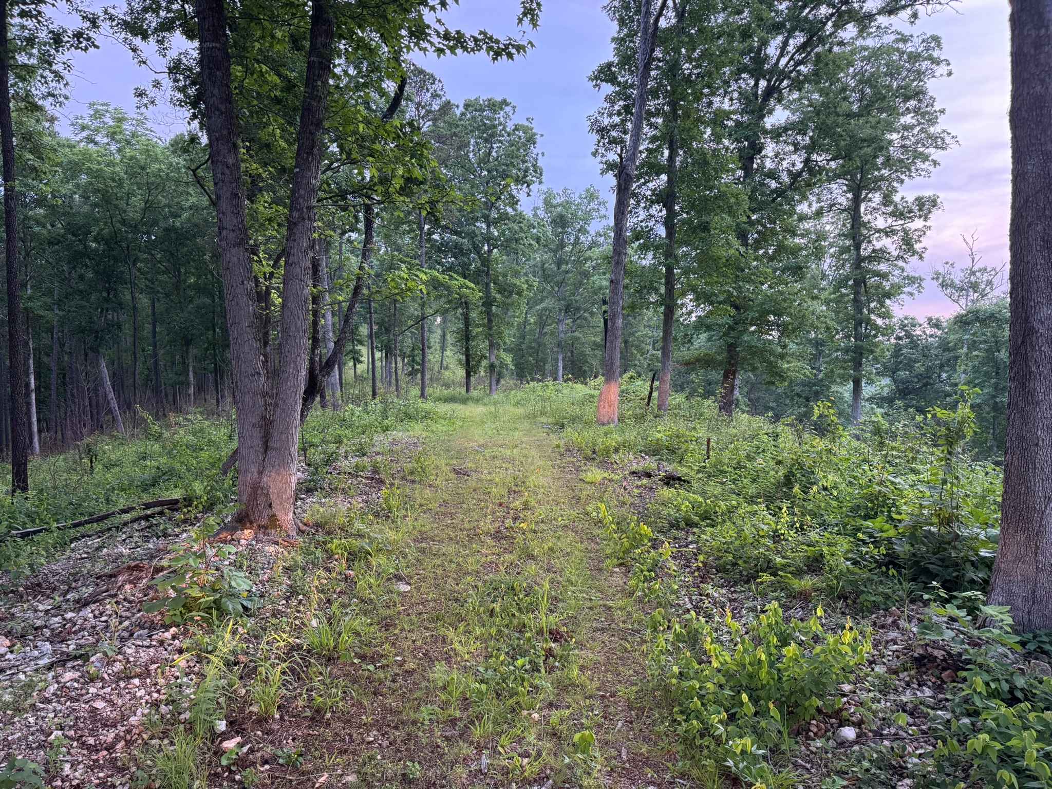
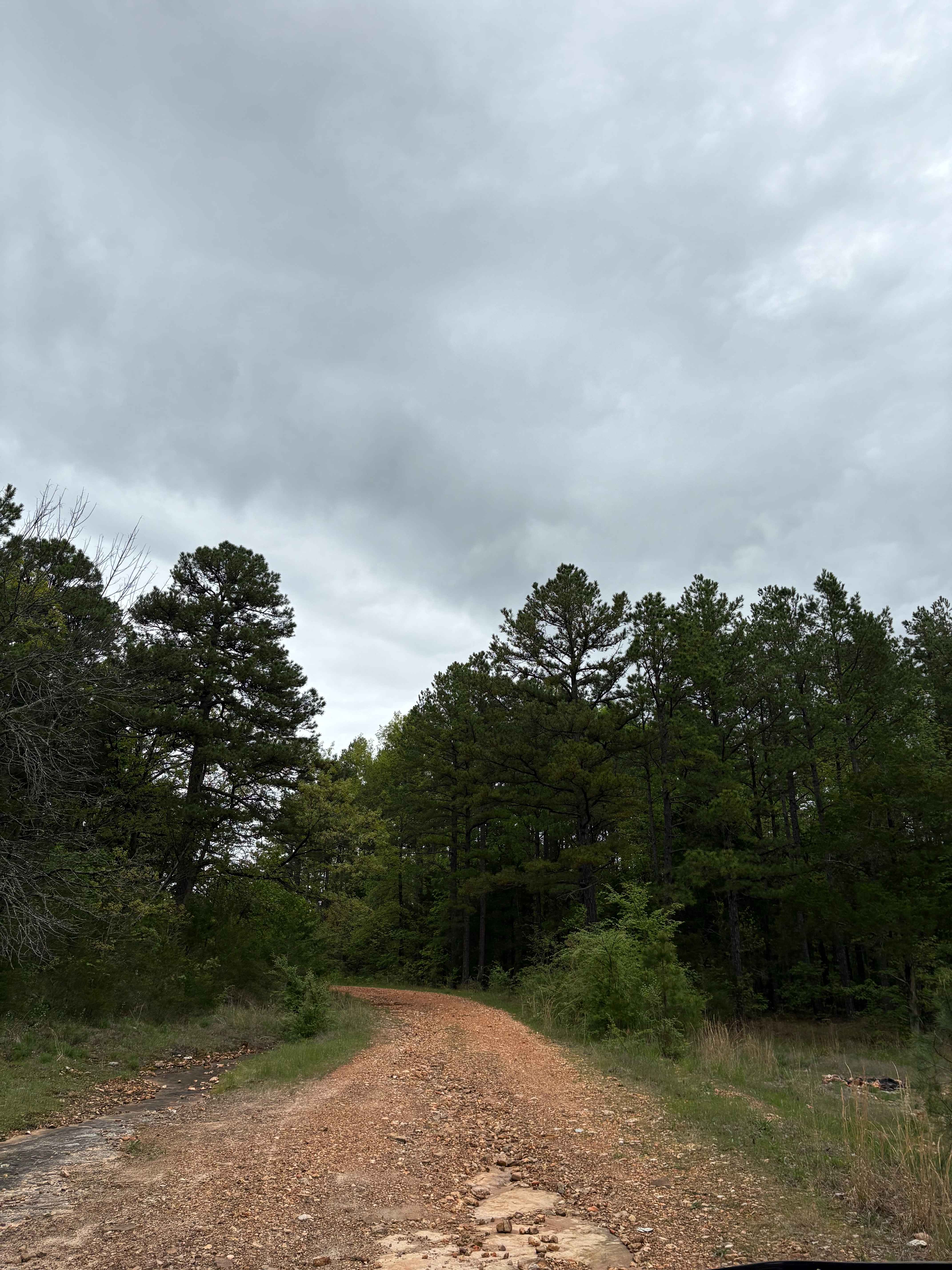
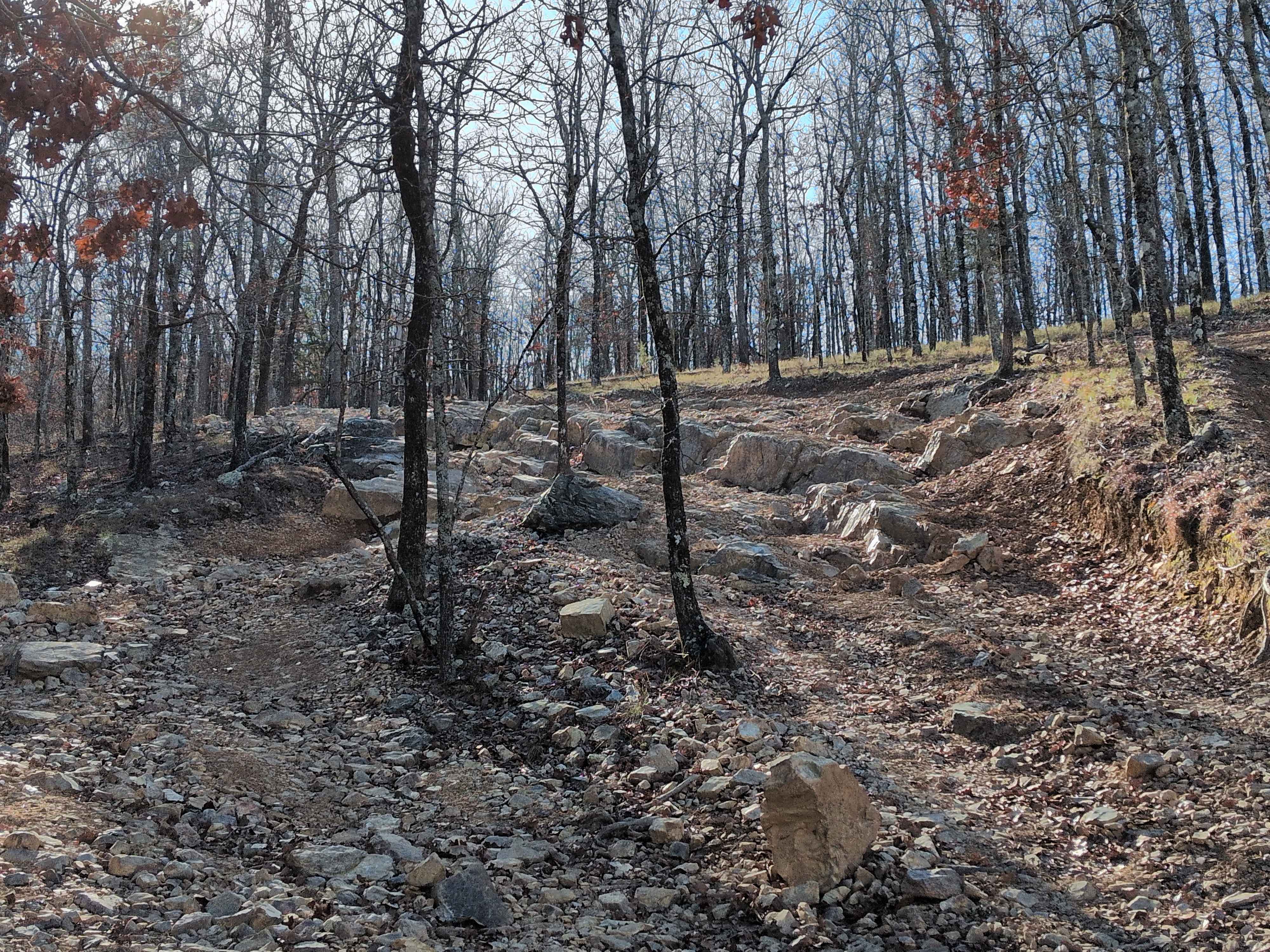
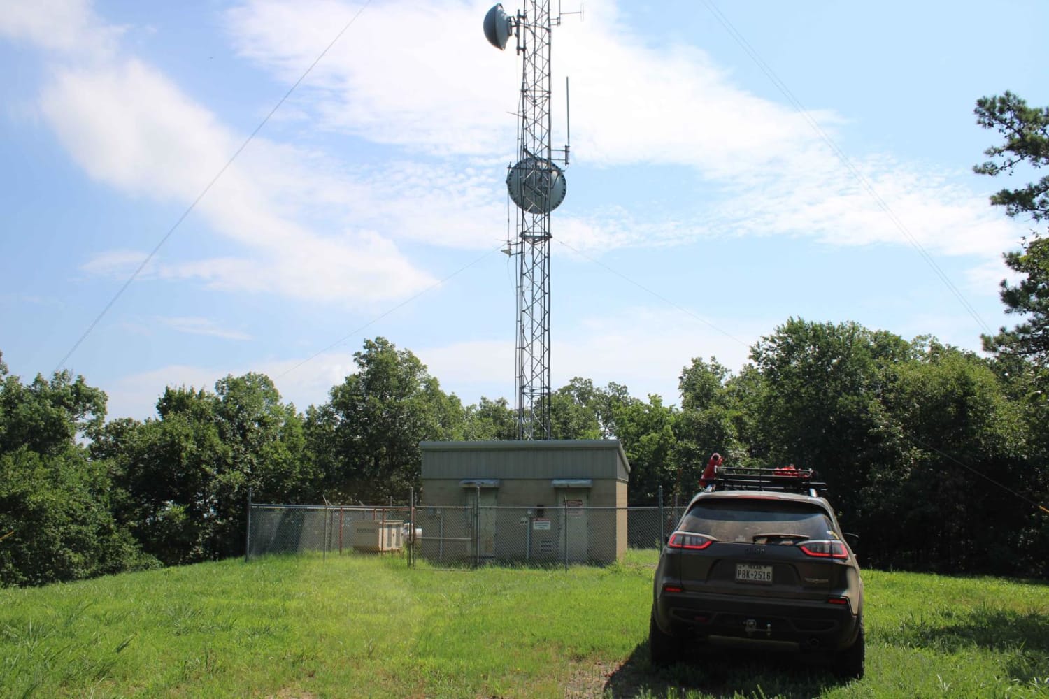
Trail Overview
This scenic ridge top trail winds through a mix of hardwood forest, scattered pines, and open grassy clearings deep within the Ozarks. The route follows along the ridge line, offering elevated views through the trees where you can see layers of green canopy stretching across the surrounding hillsides. Portions of the trail pass through narrow wooded corridors with light overgrowth brushing the sides of vehicles, while other sections open into grassy prairie-like meadows filled with wildflowers and tall native grasses swaying across the trail. Wildlife sightings are common in these openings, especially during the early morning and evening hours. The surface is mostly dirt and small loose rock with gentle elevation changes throughout. While the route is generally easy to navigate, some overgrown sections may cause light pinstriping on wider vehicles.
Photos of 91042S
Difficulty
This is an easy gravel and dirt forest road with gentle hills, minor loose rock, and no major technical obstacles. Most stock SUVs and stock high clearance 4x4 vehicles can complete the route without difficulty. Some areas have tighter vegetation and overgrowth along the edges that could cause light pinstriping on wider vehicles, but overall the trail remains straightforward and beginner friendly.
History
The roads throughout this region were originally established for logging, mining, homestead access, and fire management long before recreational off-roading became popular. Portions of the surrounding Buffalo National River area contain deep ties to Ozark pioneer history, including old settlements, abandoned homesites, family cemeteries, and former mining operations dating back to the late 1800s and early 1900s. The nearby Rush Historic District was once one of the largest zinc mining communities in Arkansas during the early 20th century. Many of the ridge roads and hollows drivers travel today follow paths historically used by miners, loggers, ranchers, and local residents navigating the rugged Ozark terrain long before modern highways existed.
Status Reports
91042S can be accessed by the following ride types:
- High-Clearance 4x4
- SUV
91042S Map
Popular Trails
Huckleberry Mountain Orange - FS 2612
OHT Twin Creek
G4 Don's 101
Dutch Creek Mountain Road - Nature Takes Over
The onX Offroad Difference
onX Offroad combines trail photos, descriptions, difficulty ratings, width restrictions, seasonality, and more in a user-friendly interface. Available on all devices, with offline access and full compatibility with CarPlay and Android Auto. Discover what you’re missing today!