91018A
Total Miles
1.1
Technical Rating
Best Time
Spring, Summer, Fall, Winter
Trail Type
Full-Width Road
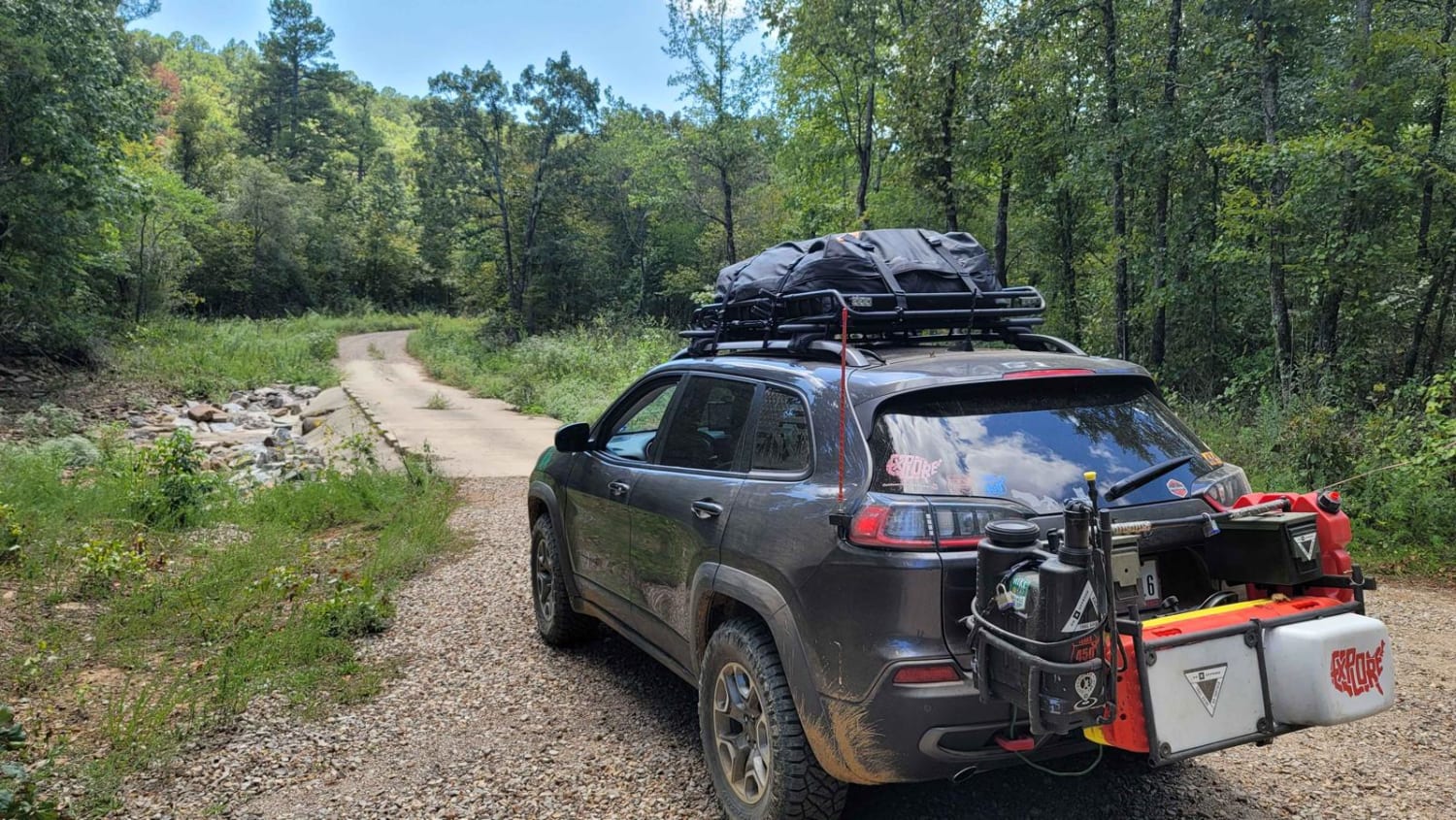
Accessible By
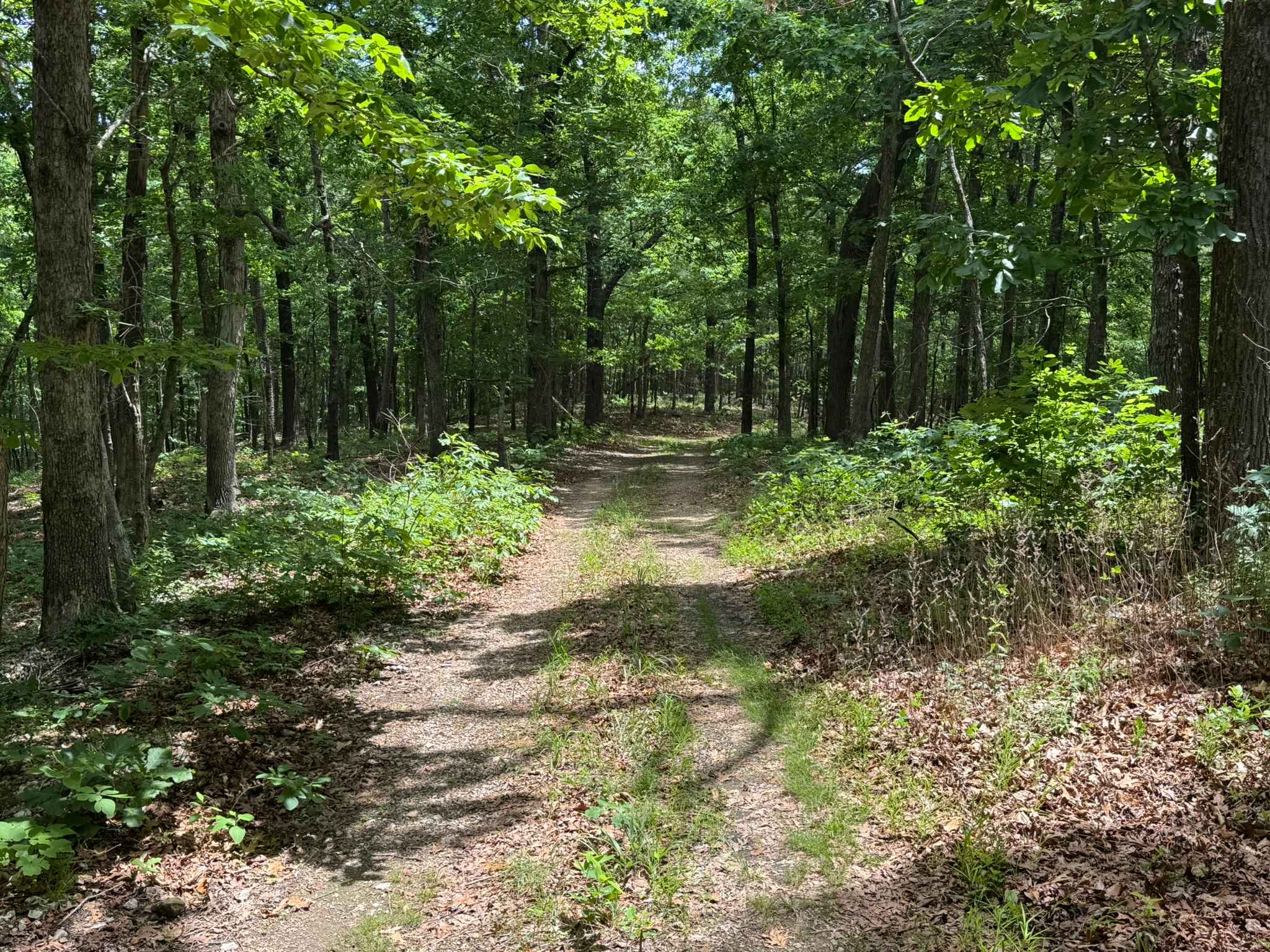
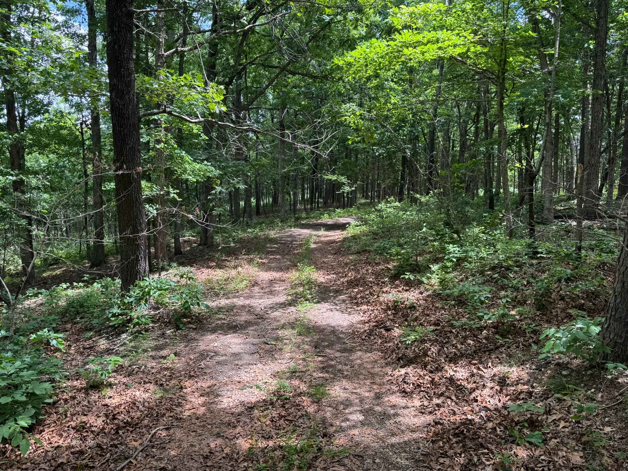
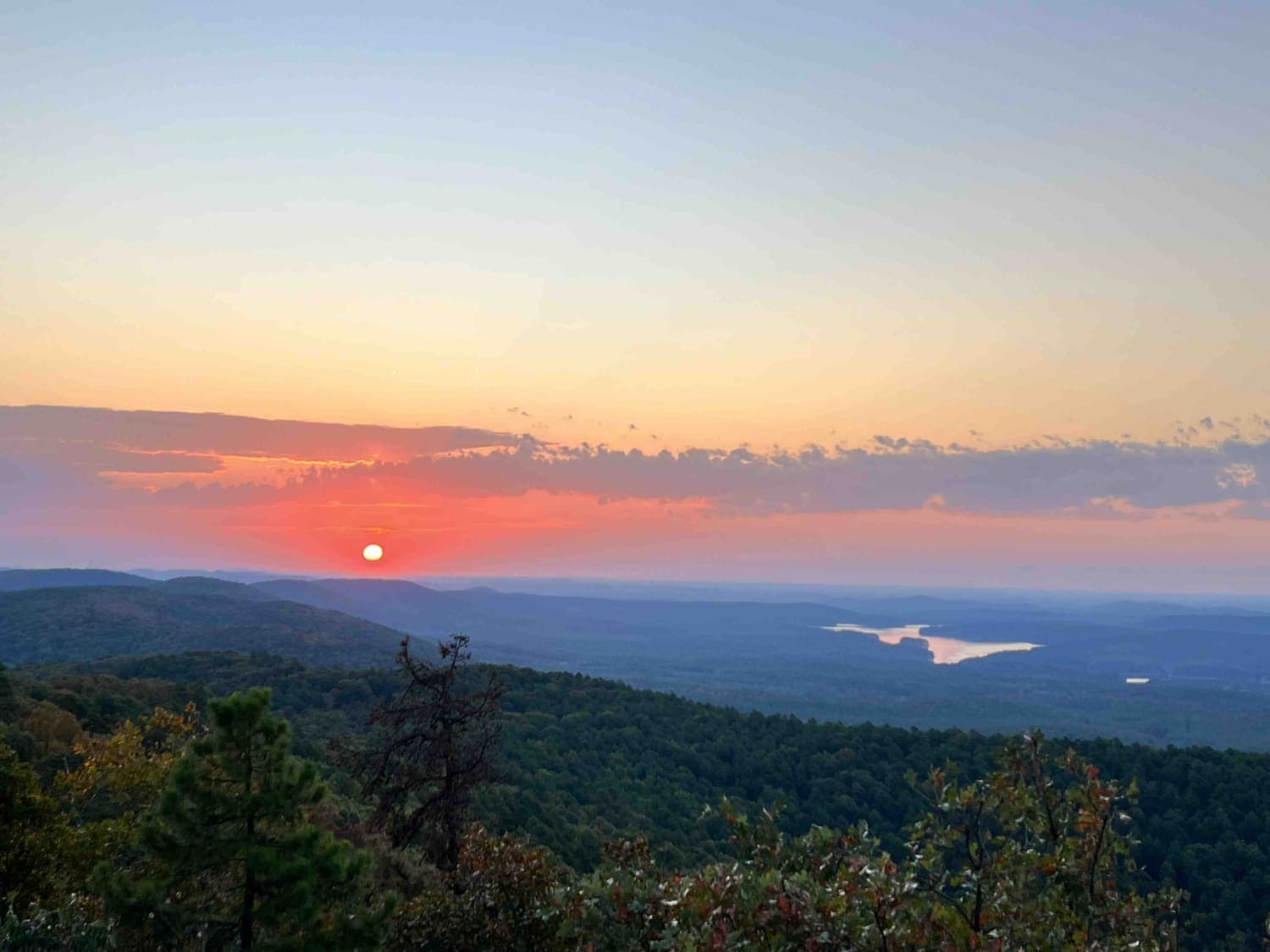
Trail Overview
This route is a narrow one-vehicle-wide trail that winds through a mix of wooded forest sections and open grassy meadows. Passing another vehicle could be difficult in several areas due to the tight tree cover and limited pull-off spots. The trail surface is mostly hard-packed dirt with light vegetation and grass growing between the tire tracks, giving it a remote and lightly traveled feel. Tall hardwoods and pines surround much of the route, creating a shaded canopy through the forested portions of the drive. Toward the end, the trail opens into a scenic grassy meadow where the turnaround point is easy to identify from a distance. The route does include a few mild grades and rolling hills, but nothing steep or technical that would concern most high-clearance 4x4 vehicles
Photos of 91018A
Difficulty
**Difficulty Rating: 2/10 (Easy)** This is an easy trail with mild grades and no major obstacles. The route is narrow and mostly one vehicle wide, so passing can be difficult in some areas.
History
The roads throughout this region were originally established for logging, mining, homestead access, and fire management long before recreational off-roading became popular. Portions of the surrounding Buffalo National River area contain deep ties to Ozark pioneer history, including old settlements, abandoned homesites, family cemeteries, and former mining operations dating back to the late 1800s and early 1900s. The nearby Rush Historic District was once one of the largest zinc mining communities in Arkansas during the early 20th century. Many of the ridge roads and hollows drivers travel today follow paths historically used by miners, loggers, ranchers, and local residents navigating the rugged Ozark terrain long before modern highways existed.
Status Reports
91018A can be accessed by the following ride types:
- High-Clearance 4x4
- SUV
91018A Map
Popular Trails

H42 Parker Lane
Mill Creek Blue Loop
Crystal Mountain
The onX Offroad Difference
onX Offroad combines trail photos, descriptions, difficulty ratings, width restrictions, seasonality, and more in a user-friendly interface. Available on all devices, with offline access and full compatibility with CarPlay and Android Auto. Discover what you’re missing today!